Säntis
With a much clearer forecast than the previous hike, and a few friends from classes, we decided to do a loop of Säntis starting at Wasserauen, hiking up to Ebenalp, then along the mountain ridge to Säntis, then back to Wasserauen around the other side. It was long, it was arduous, and it was positively glorious.
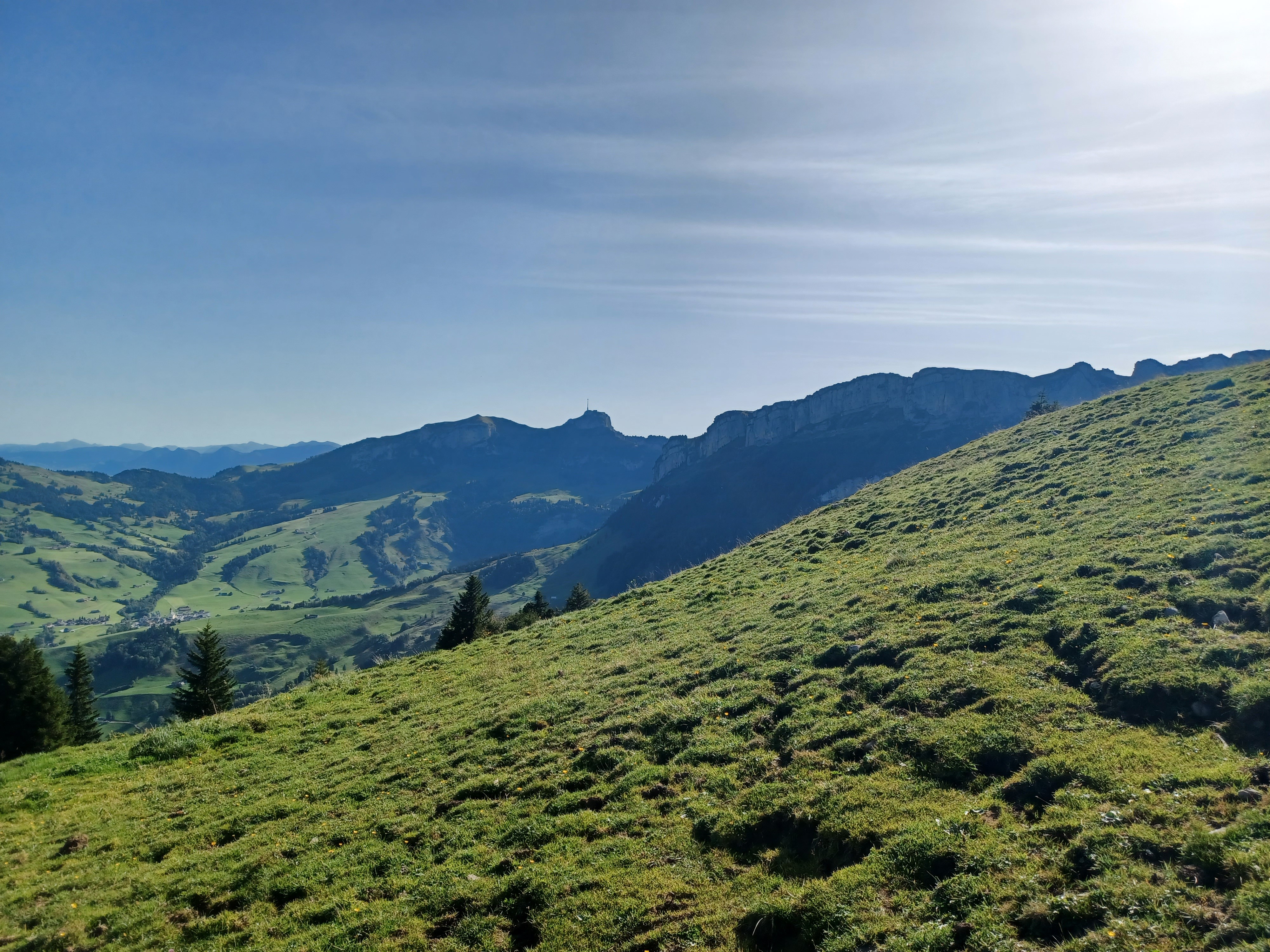
View of Hoher Kasten from partway up to Ebenalp.
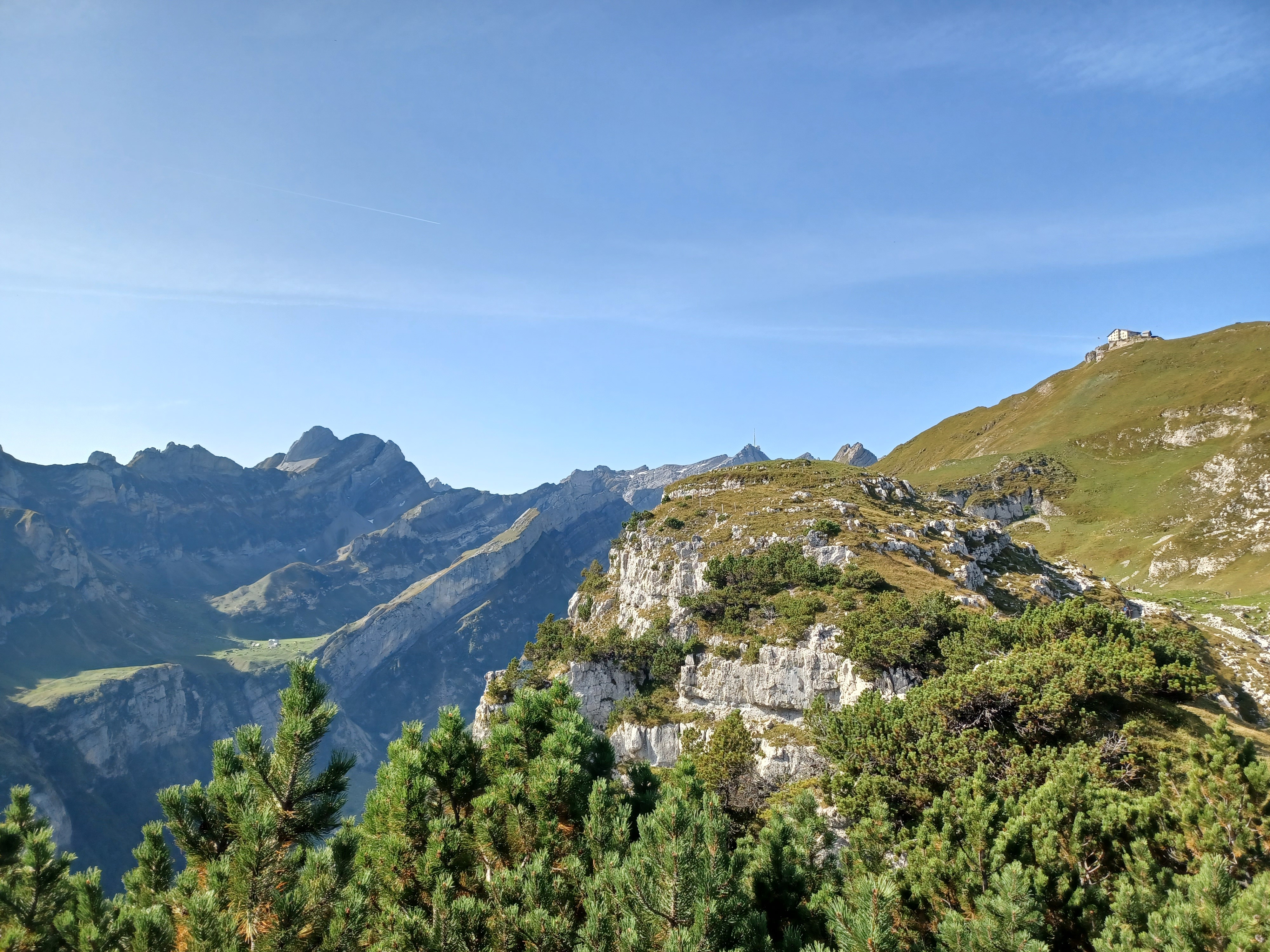
Our first view of Säntis's summit, with Berggasthaus Schäfler off to the right.
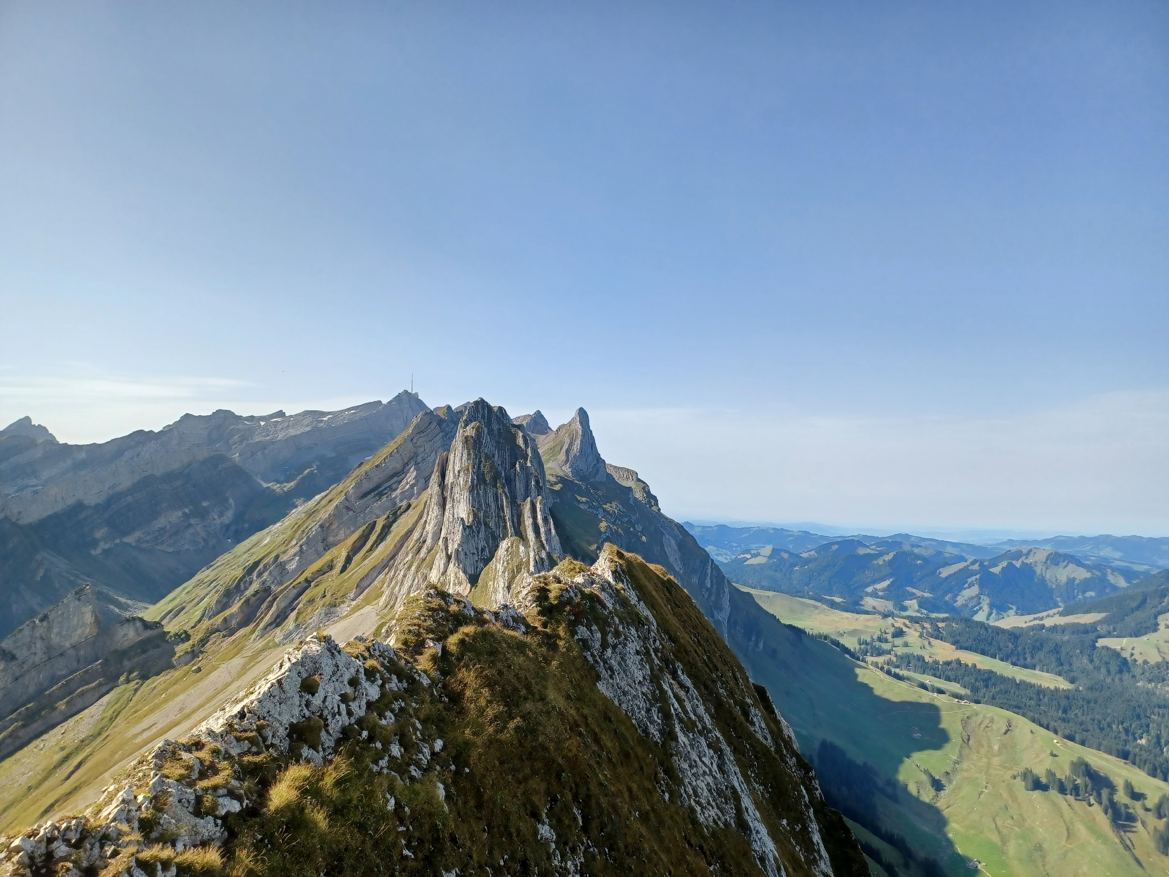
Gosh I love knife ridges. The view from just past the Berggasthaus. From here, we descend to the left of the ridge and walk along it for a while.
Looking back at Hoher Kasten and Berggasthaus Schäfler. If you zoom in far enough, you can just make out people on a trail on the left-hand side.
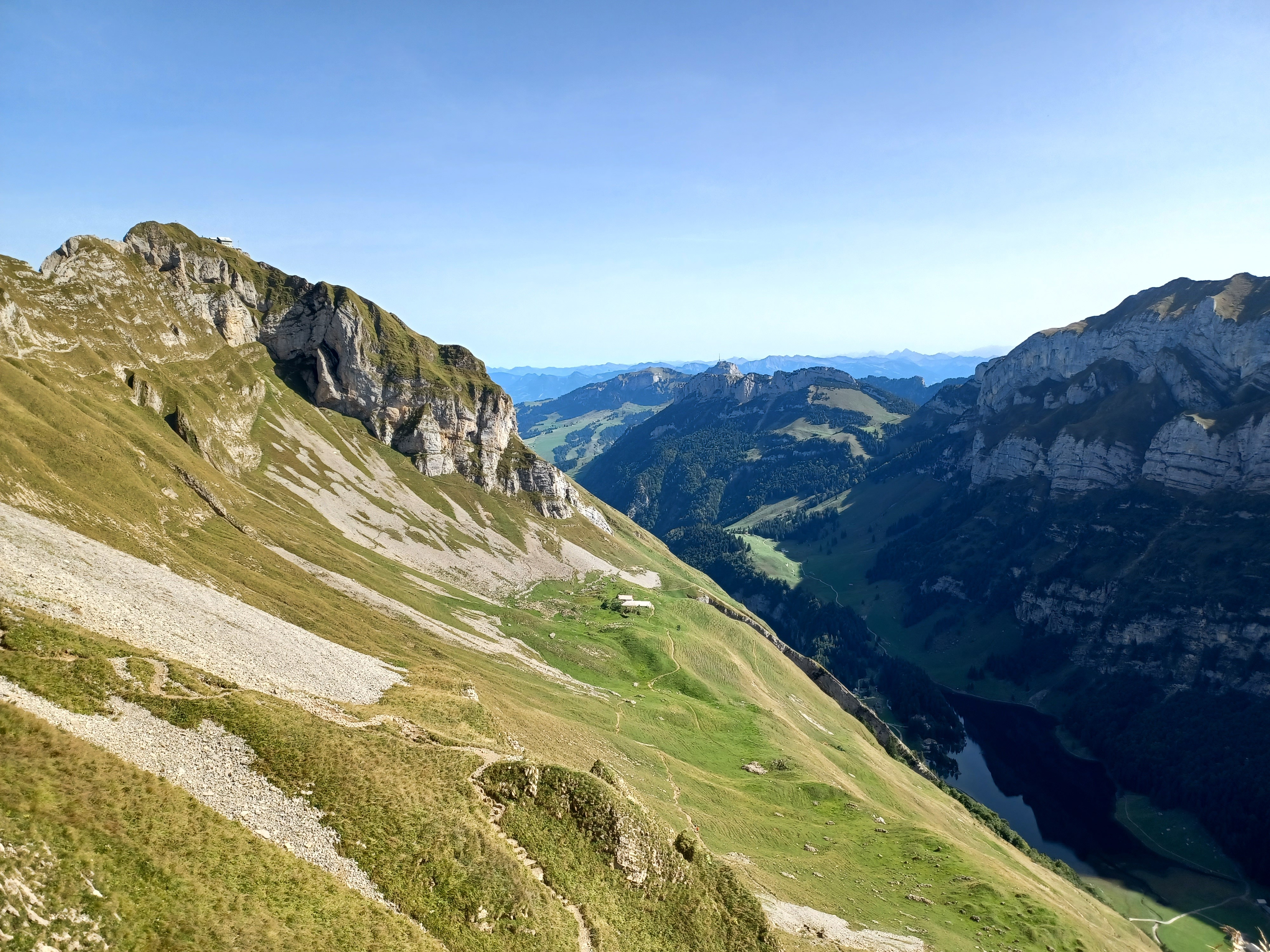
From virtually the same spot, but facing the direction of travel (more or less). It looks like this chunk of the mountain split clean off from above and slid down a few hundred meters.
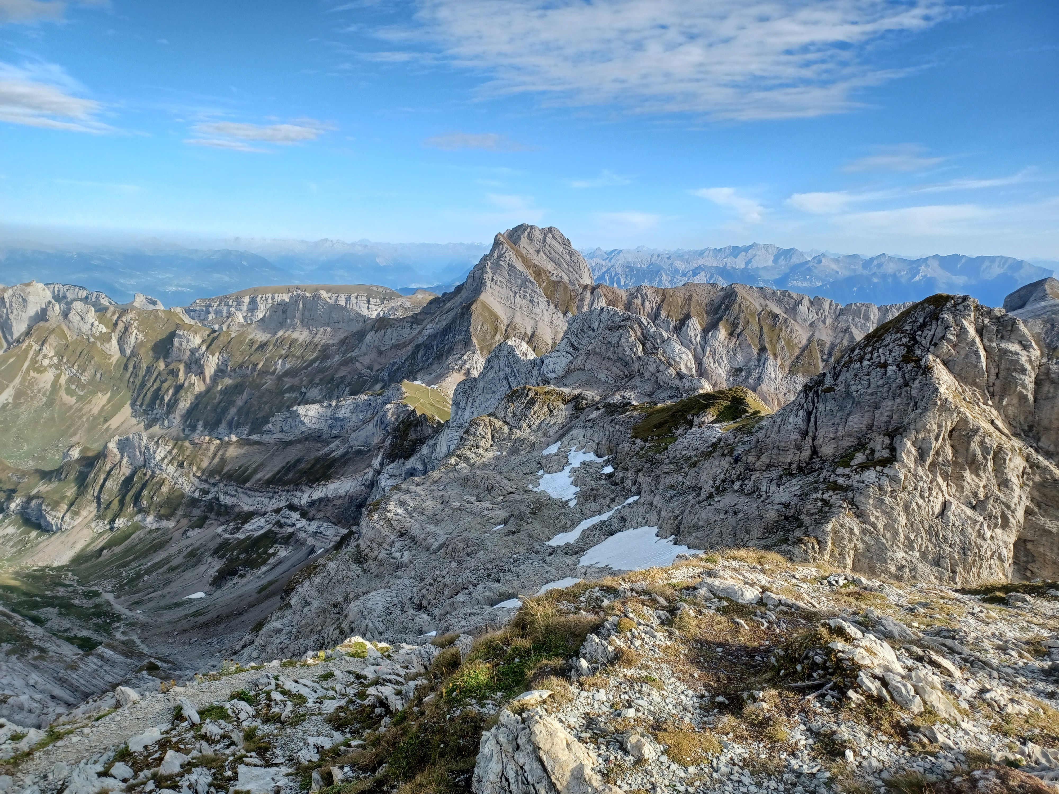
Looking back towards that knife ridge, but from the other side and after a bit of elevation gain.
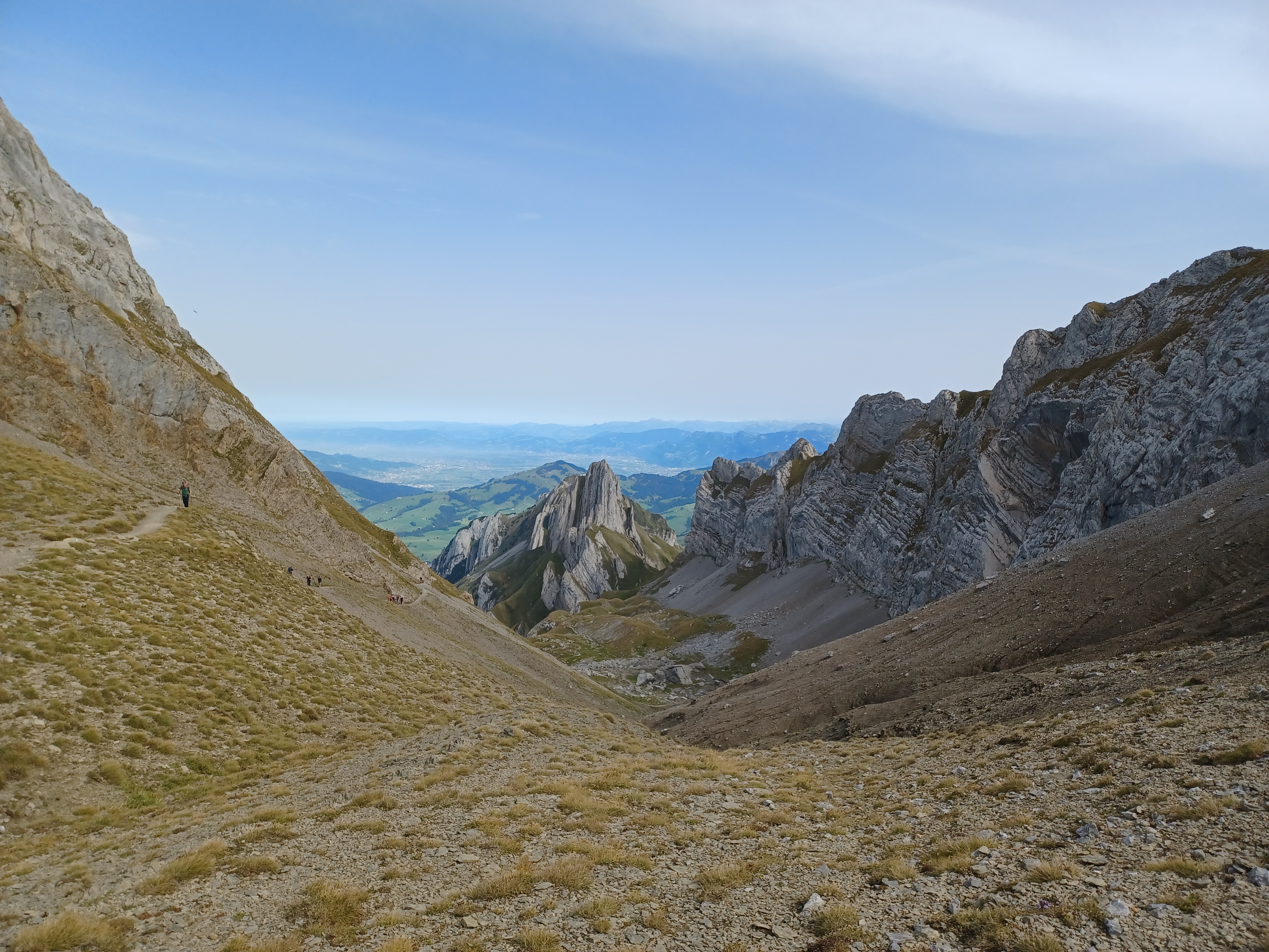
Turning around again, we're quite a bit closer to Säntis! Looks are deceiving though; I think we were only about half-way there.
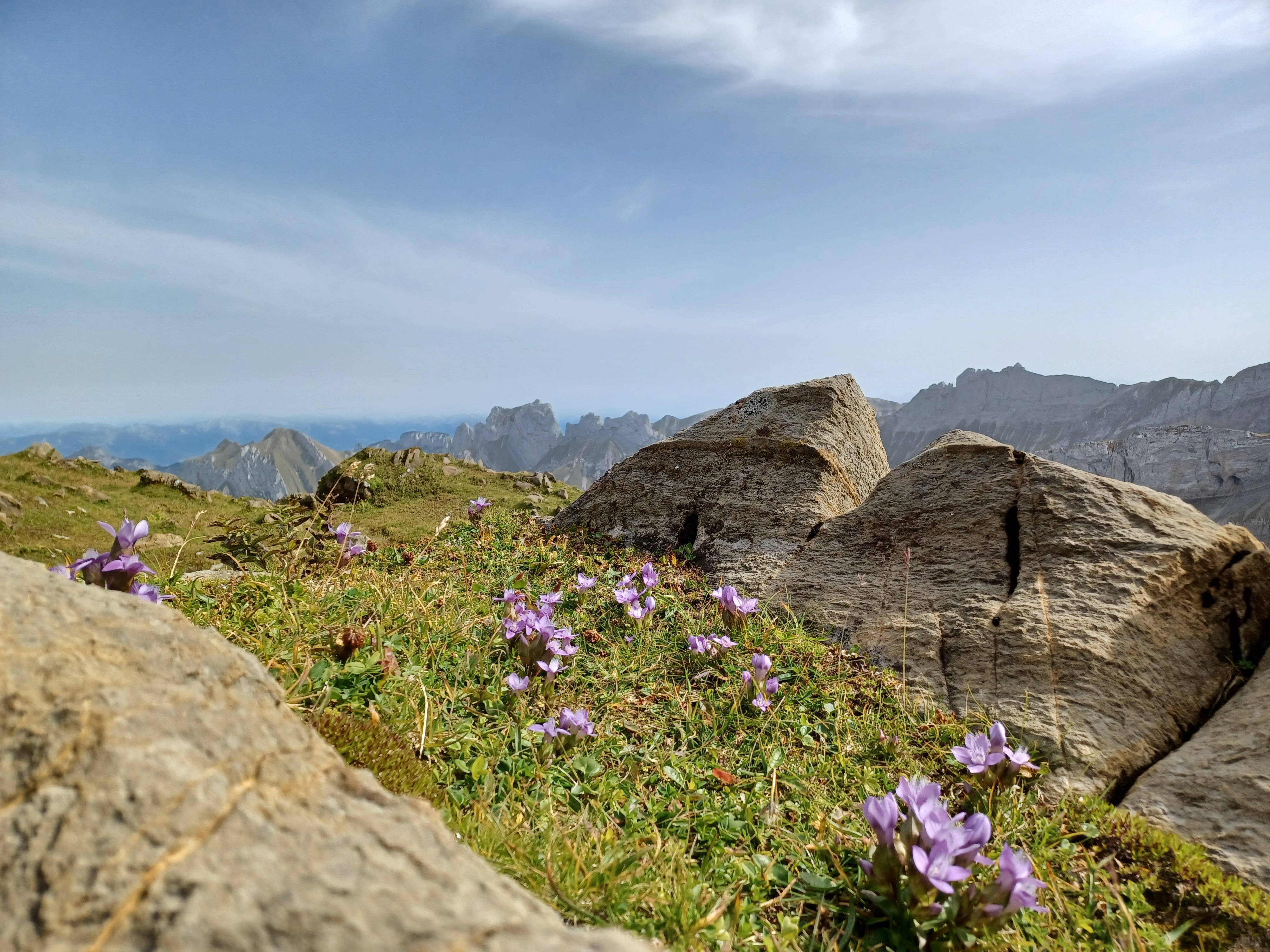
Some wildflowers being all cute and small.
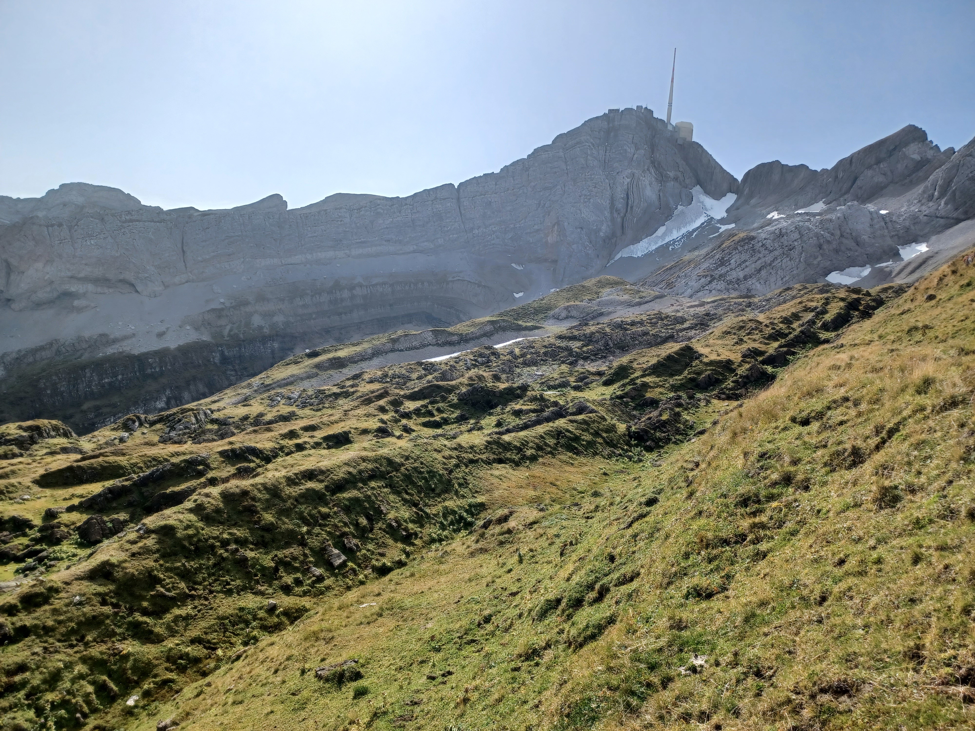
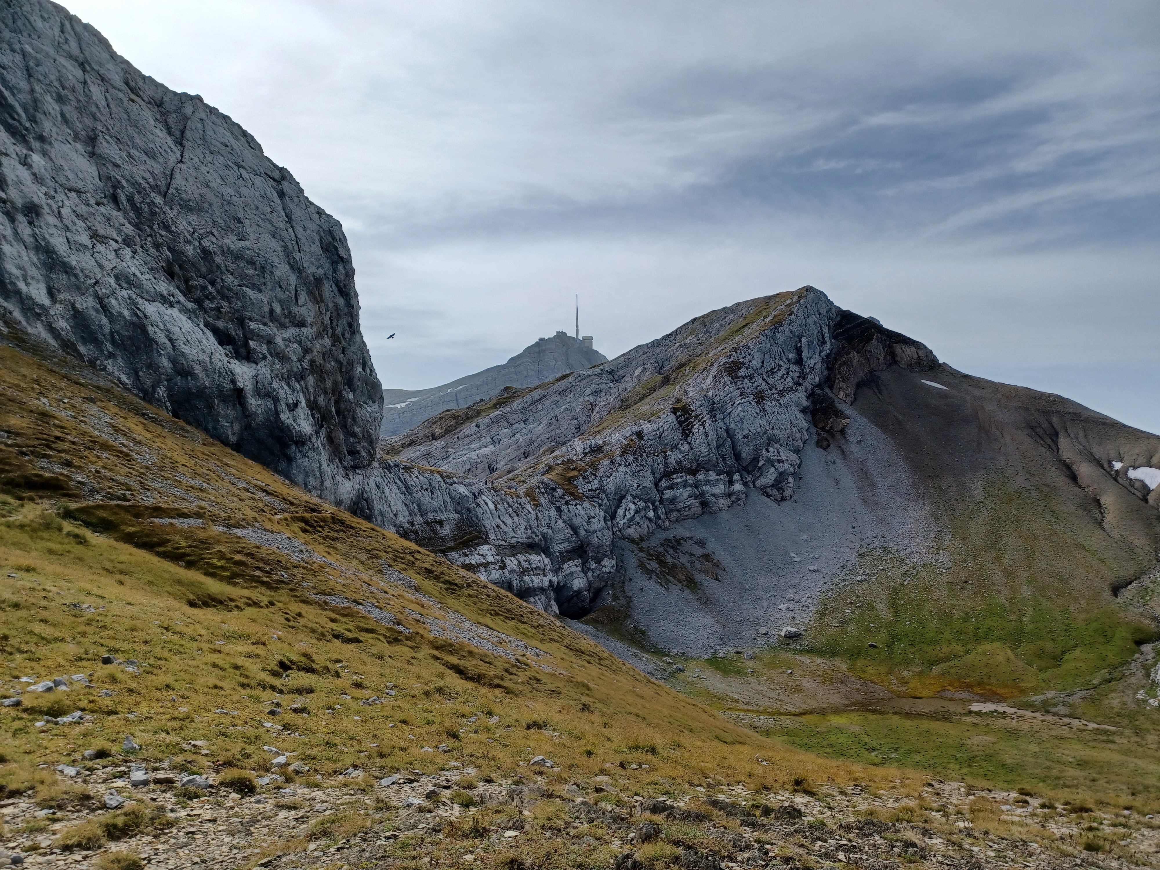
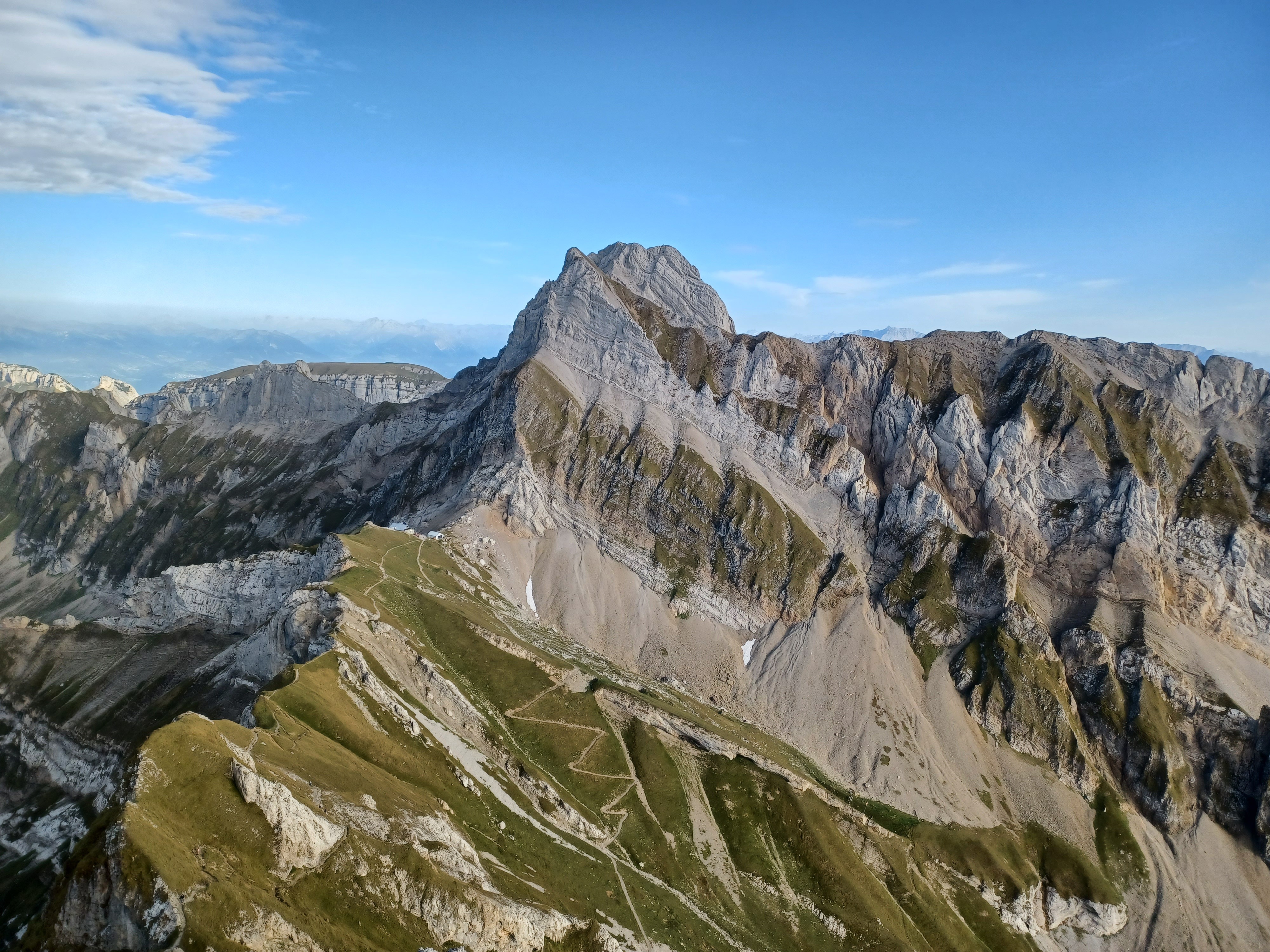
We're getting closer! Unfortunately, I have no good pictures of it (see the second instance of visiting Säntis), but that 45-degree slope to the right of Säntis is a "ladder" and the final stretch to the summit. Between here and there, a lot of elevation gain.
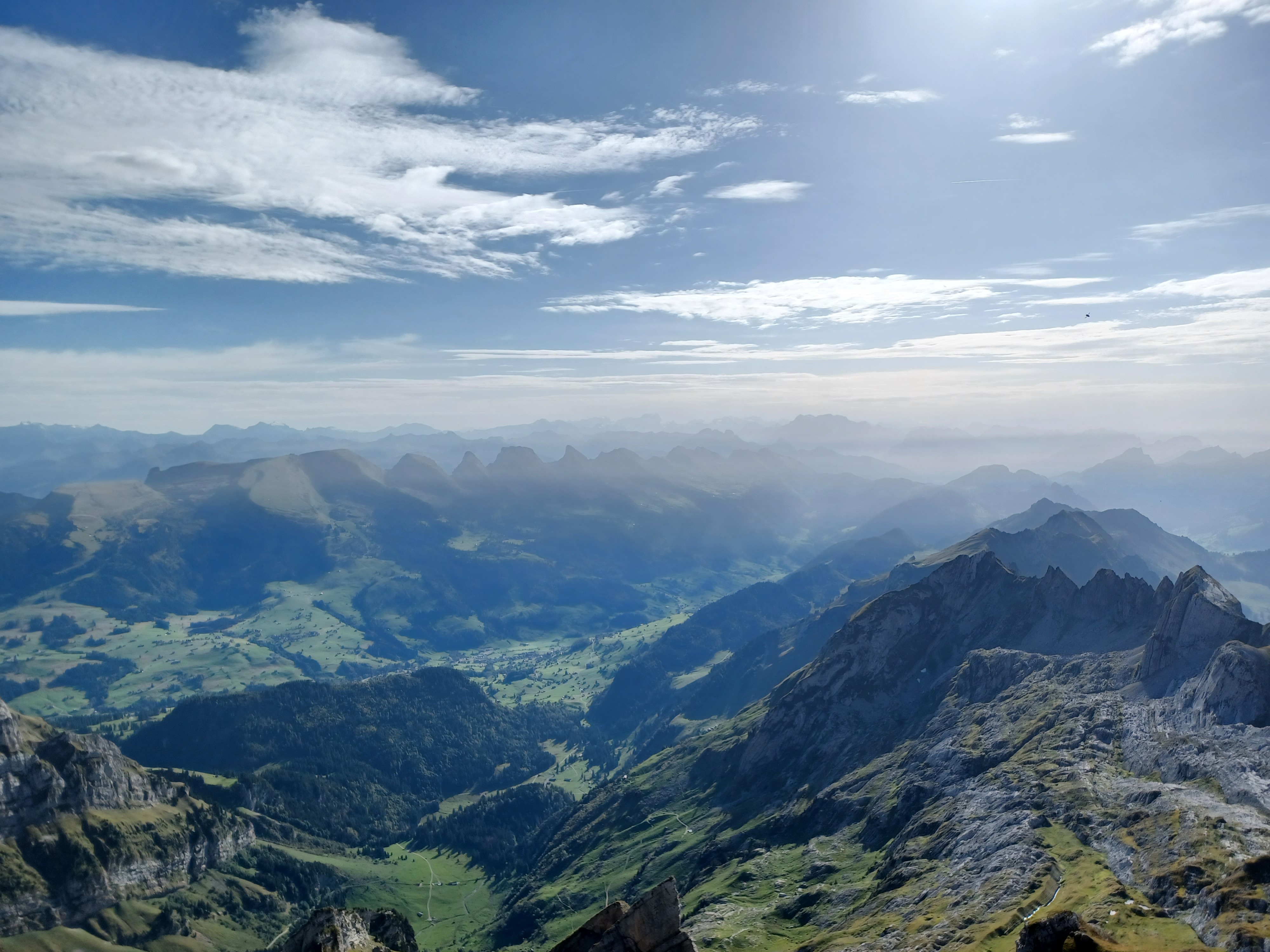
The view from the summit, facing the direction we came from.
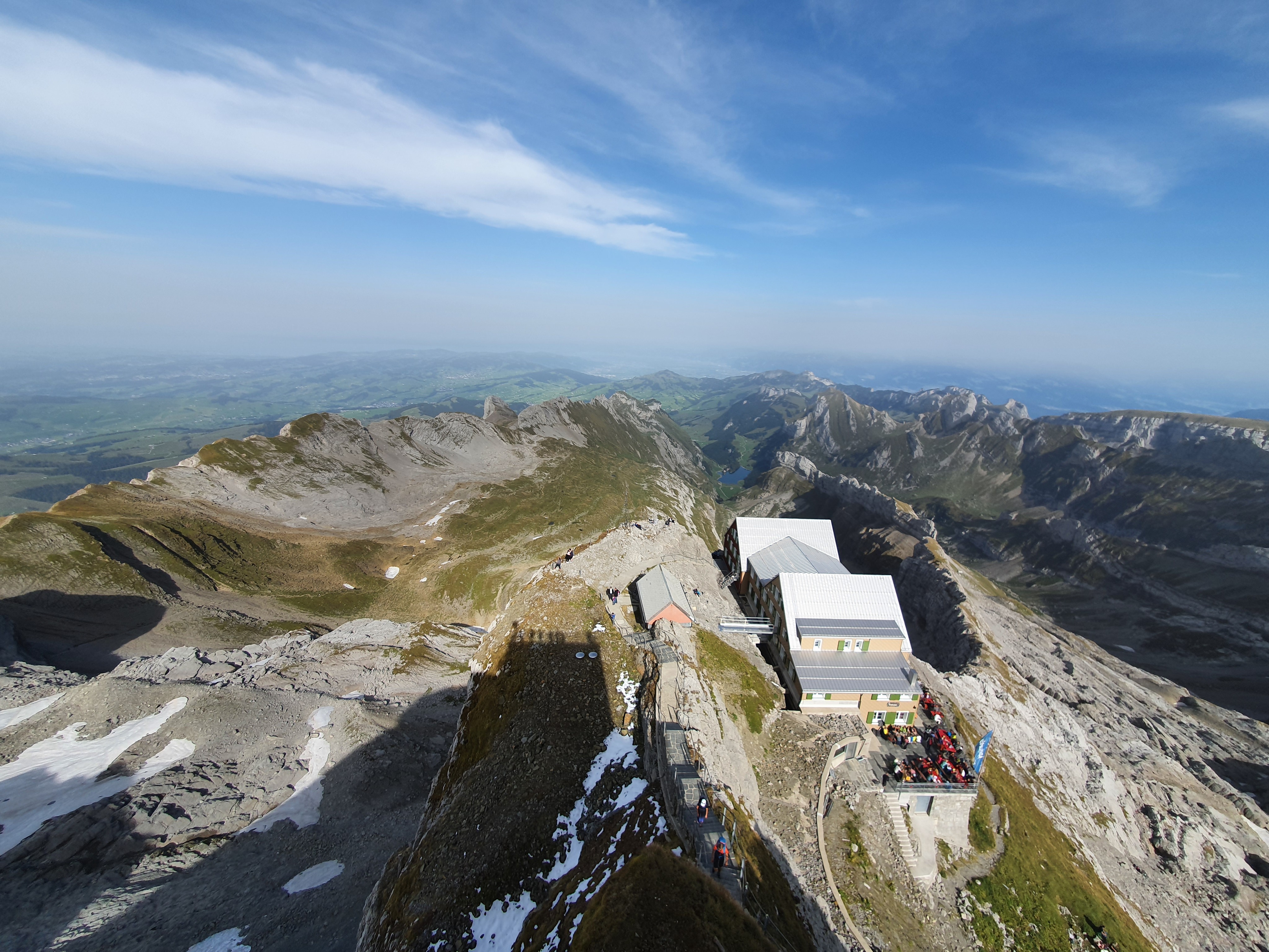
The view from the summit, facing our direction of travel, with views of Chäserrugg (which I ended up doing late in 2022) and the other glacier-carved peaks.
Altmann as seen from along the ridge connecting it to Säntis. We could have taken the cable car down. We probably should have. But hey, gotta do the elevation gain for, er, the website?
Altmann closer up. From here, we'll descend to the buildings below the summit, turn left, and follow the valley back to Wasserauen.
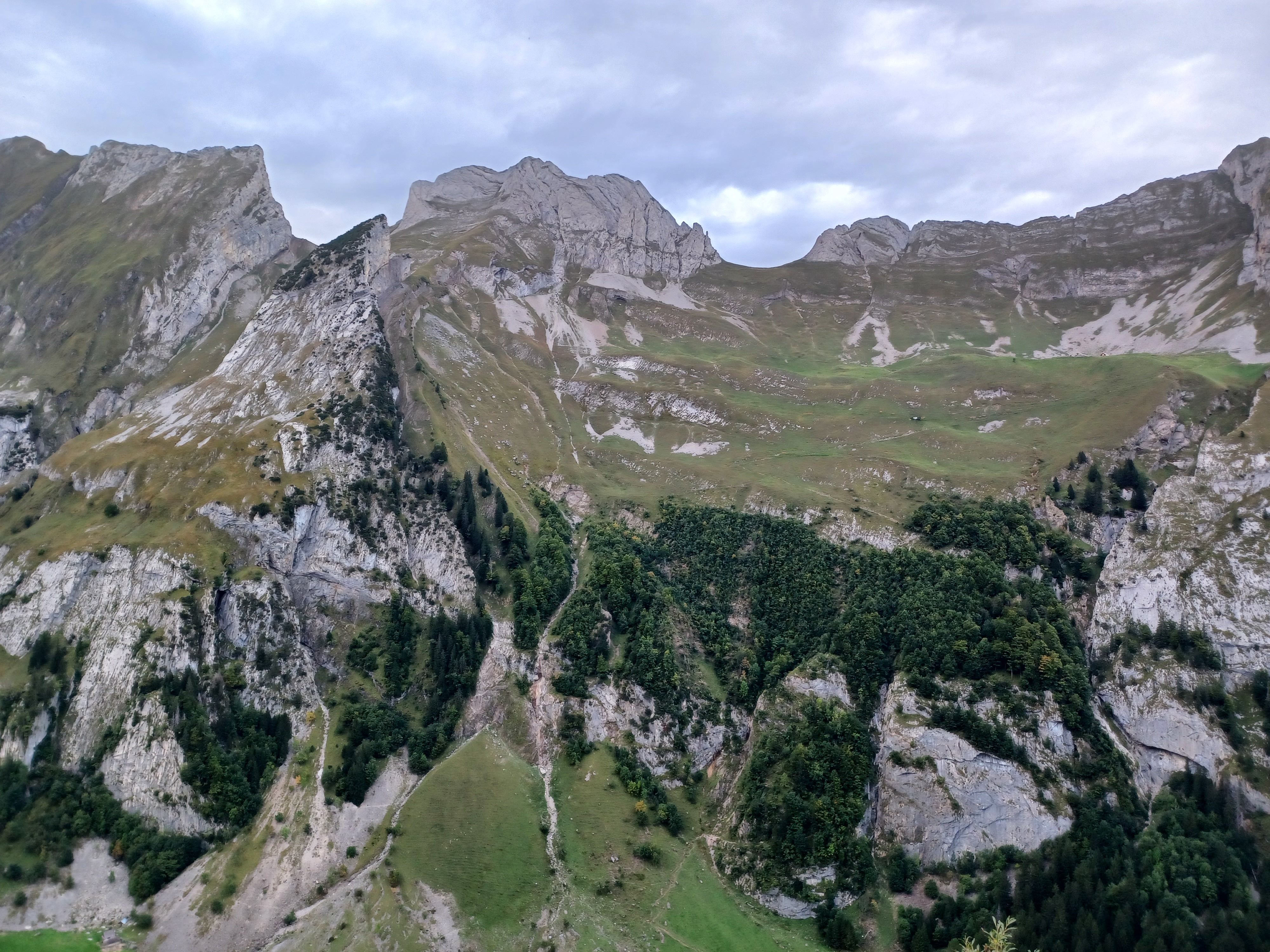
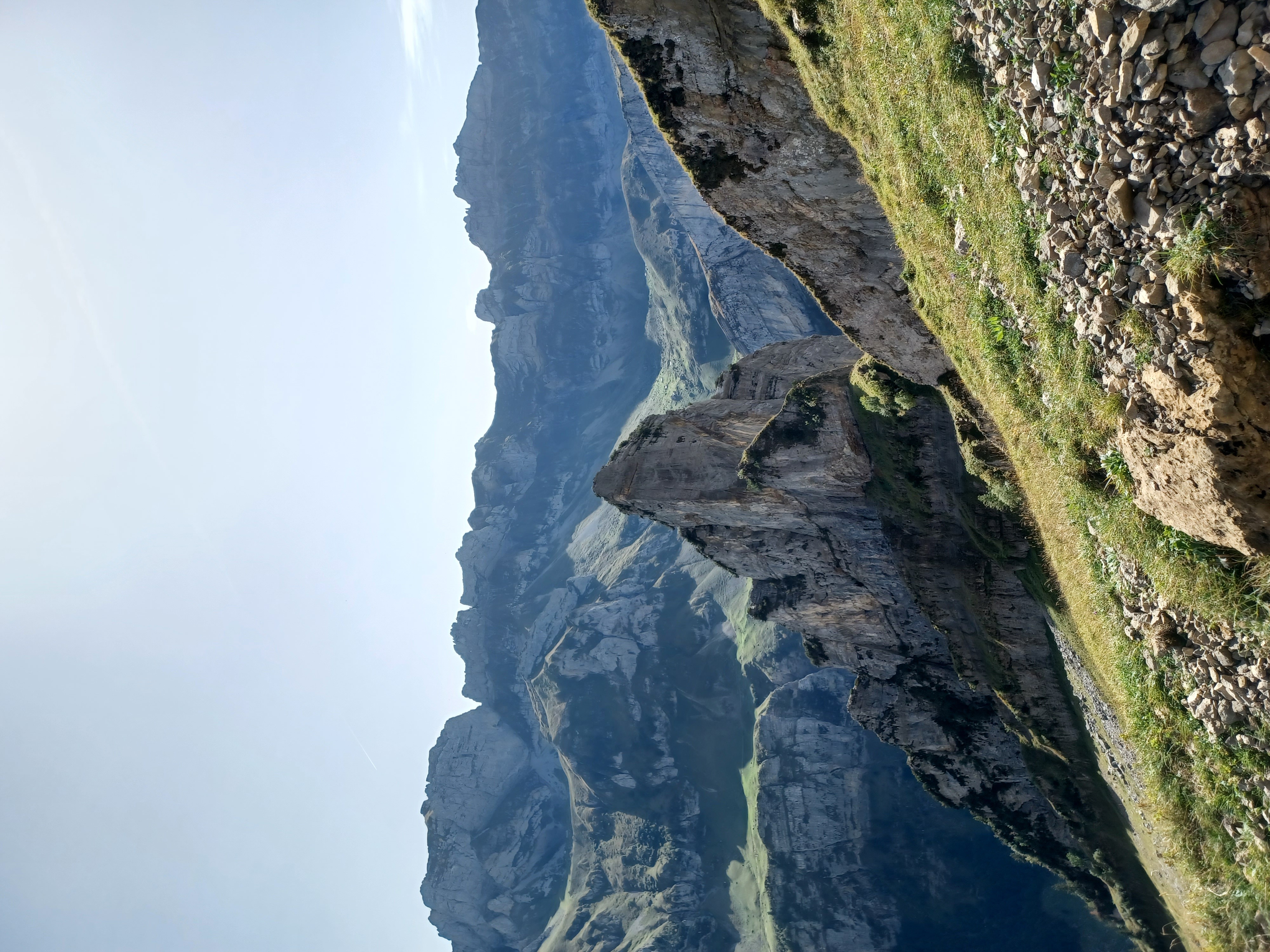
The knife ridge and funky rock from ealier, but across the valley. My phone was definitely going a little haywire with the contrast in this image, but I can attest that sometimes it really does look like that.
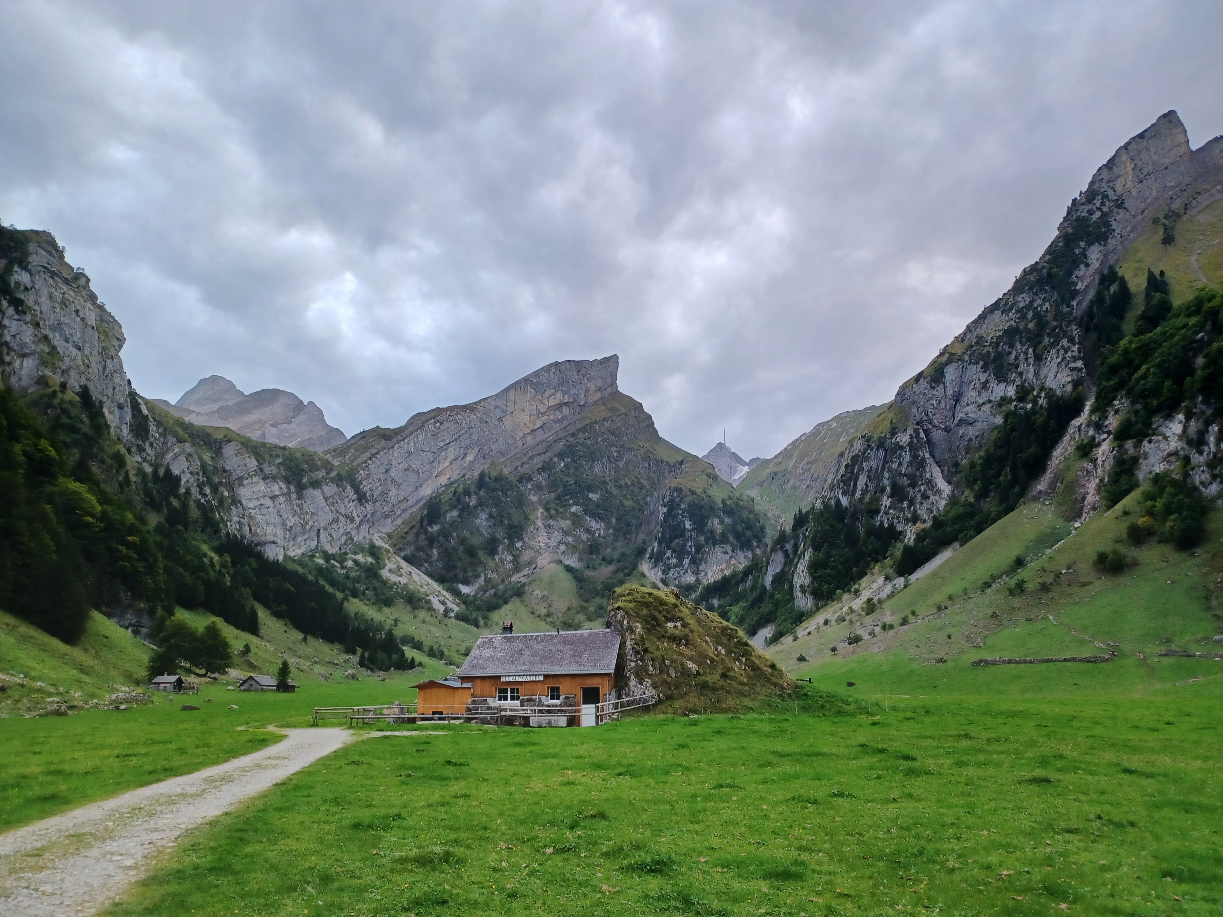
A hut in (one of the) valley floor(s), looking back towards Säntis and Altmann, both just visible in the background. From here, it was a nice stroll down a road to Wasserauen, and to a much needed sleep.