Chaiserstock
I took the cable car from Bürglen UR to Biel, then hiked up past the via ferrata in the cliffs above, through the meadows of Hoch Biel and Höch Egg, and finally made it to the base of the Chaiserstock. While everything up until that point was fine and dancy, a sprinkle of rain made the cable section to get near the top precarious, so I cut my losses. Still gorgeous even when up in the clouds, as those, mixed with the mountain pastures and copious sheep made me feel like I was somewhere in the UK.
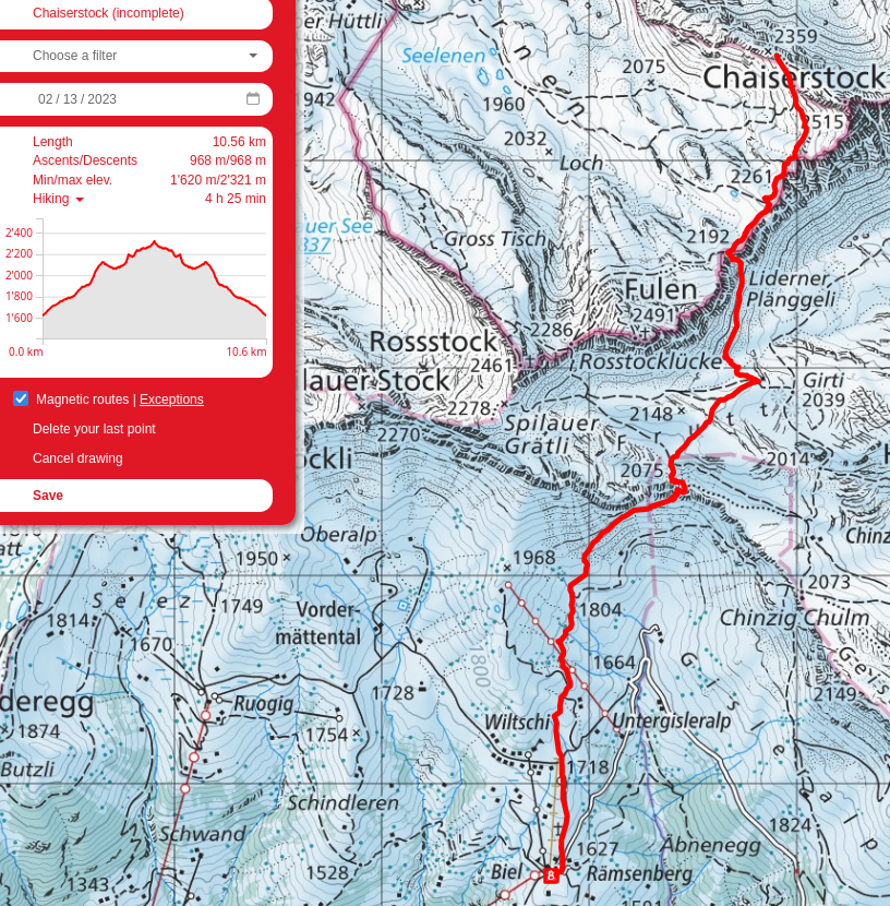
Biel, the beginning of the hike, obscured by the patch of clouds. Hoch Fulen is visible beyond!
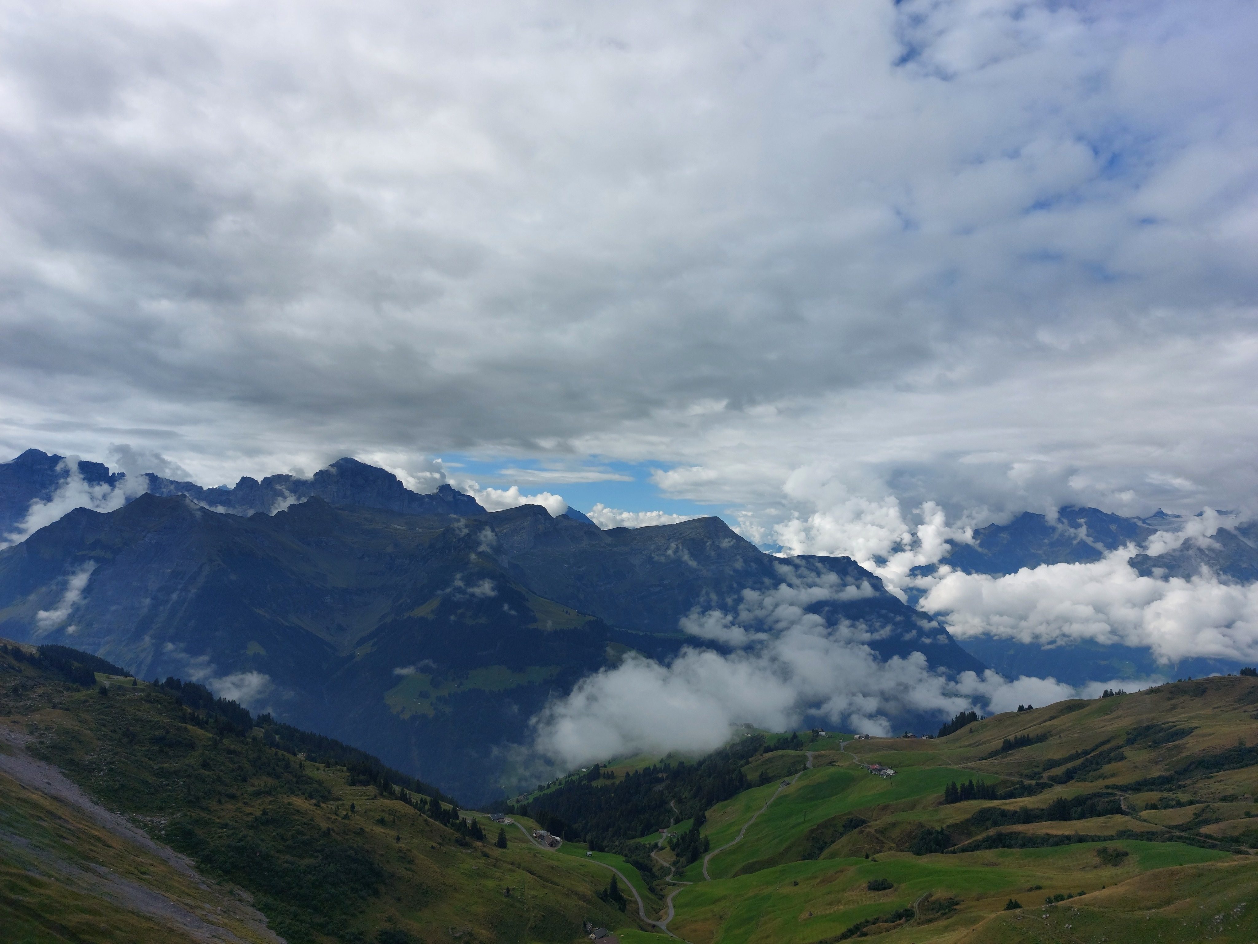
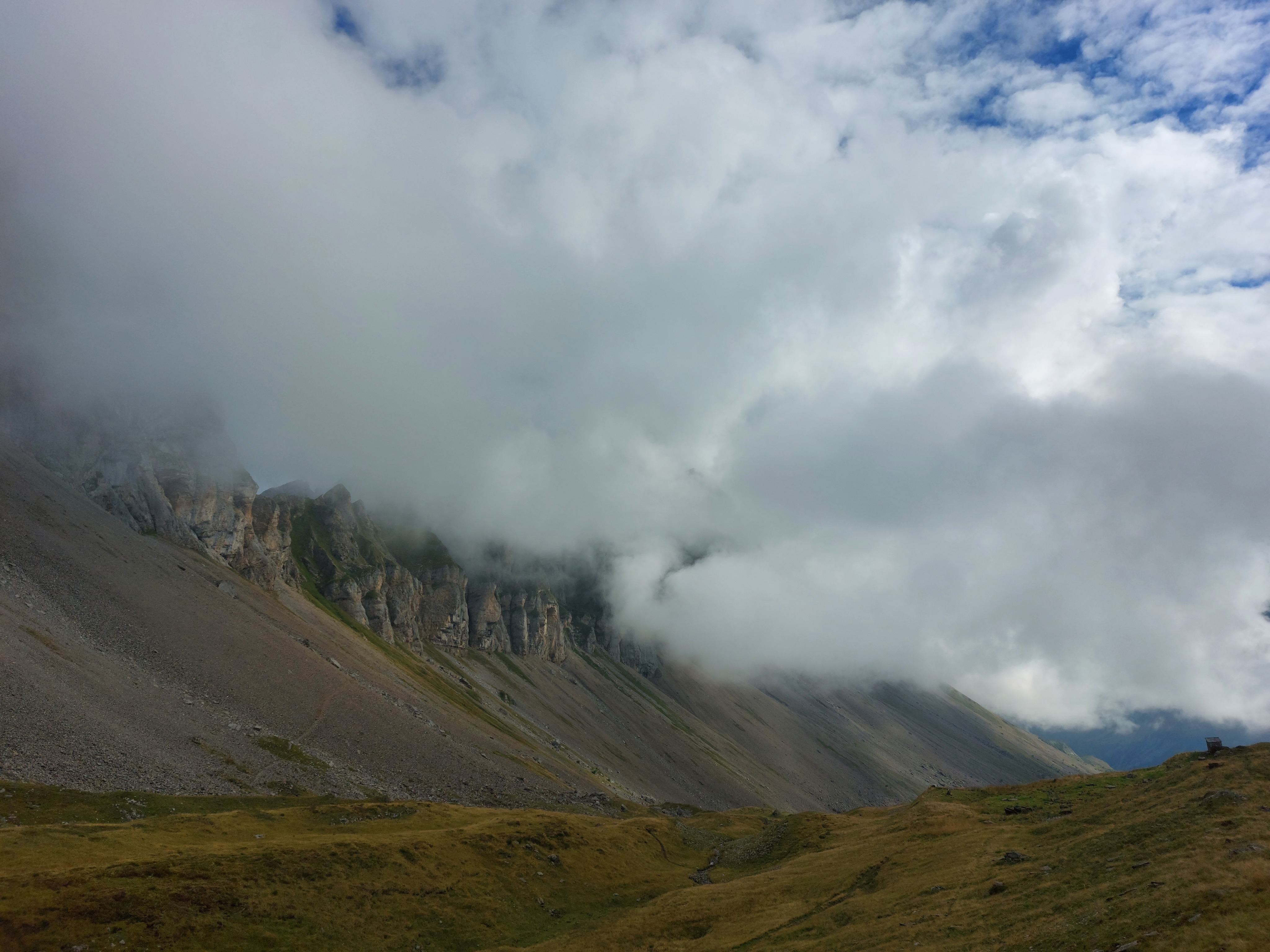
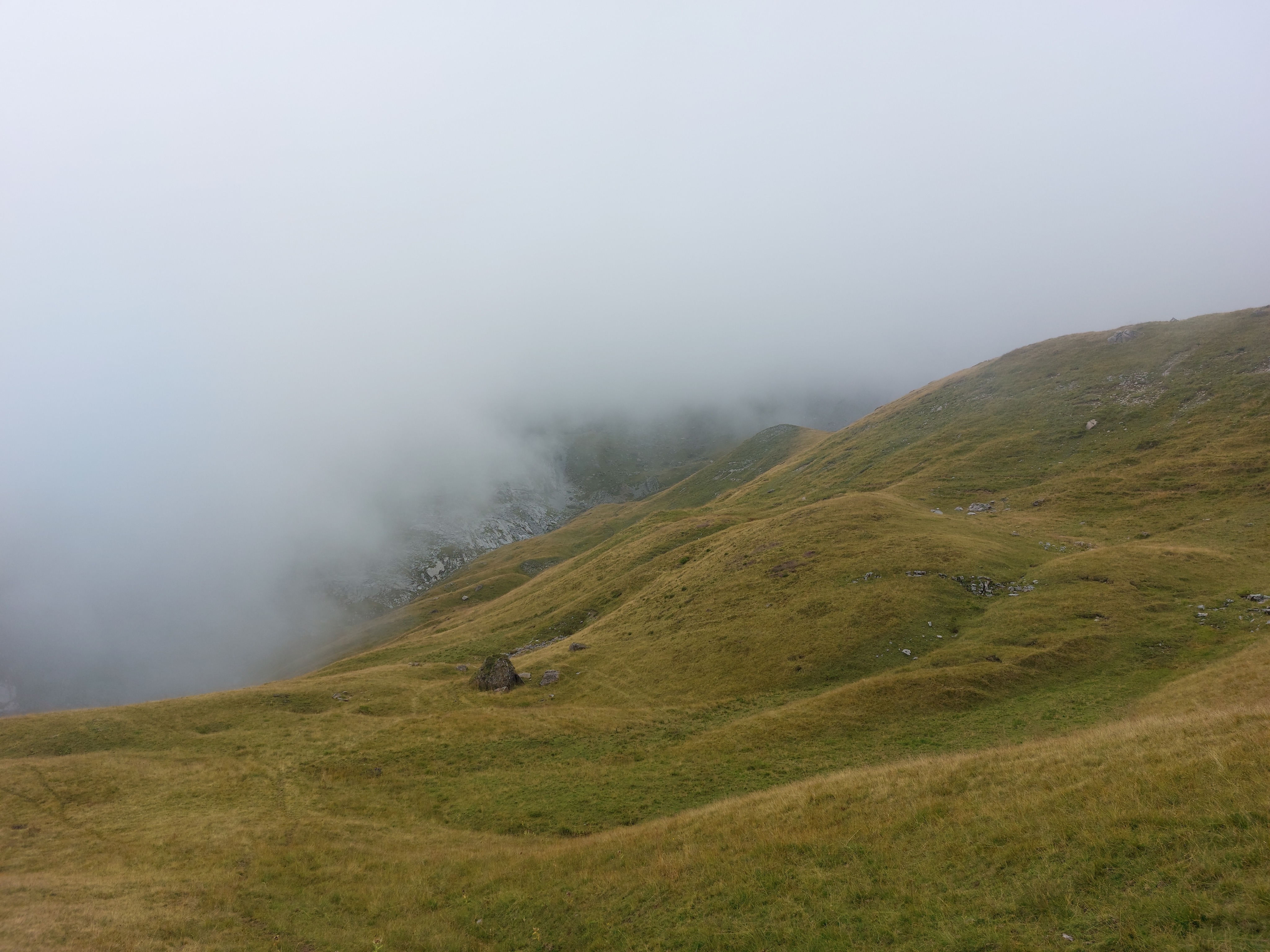
Cliffs to the left of the previous image.
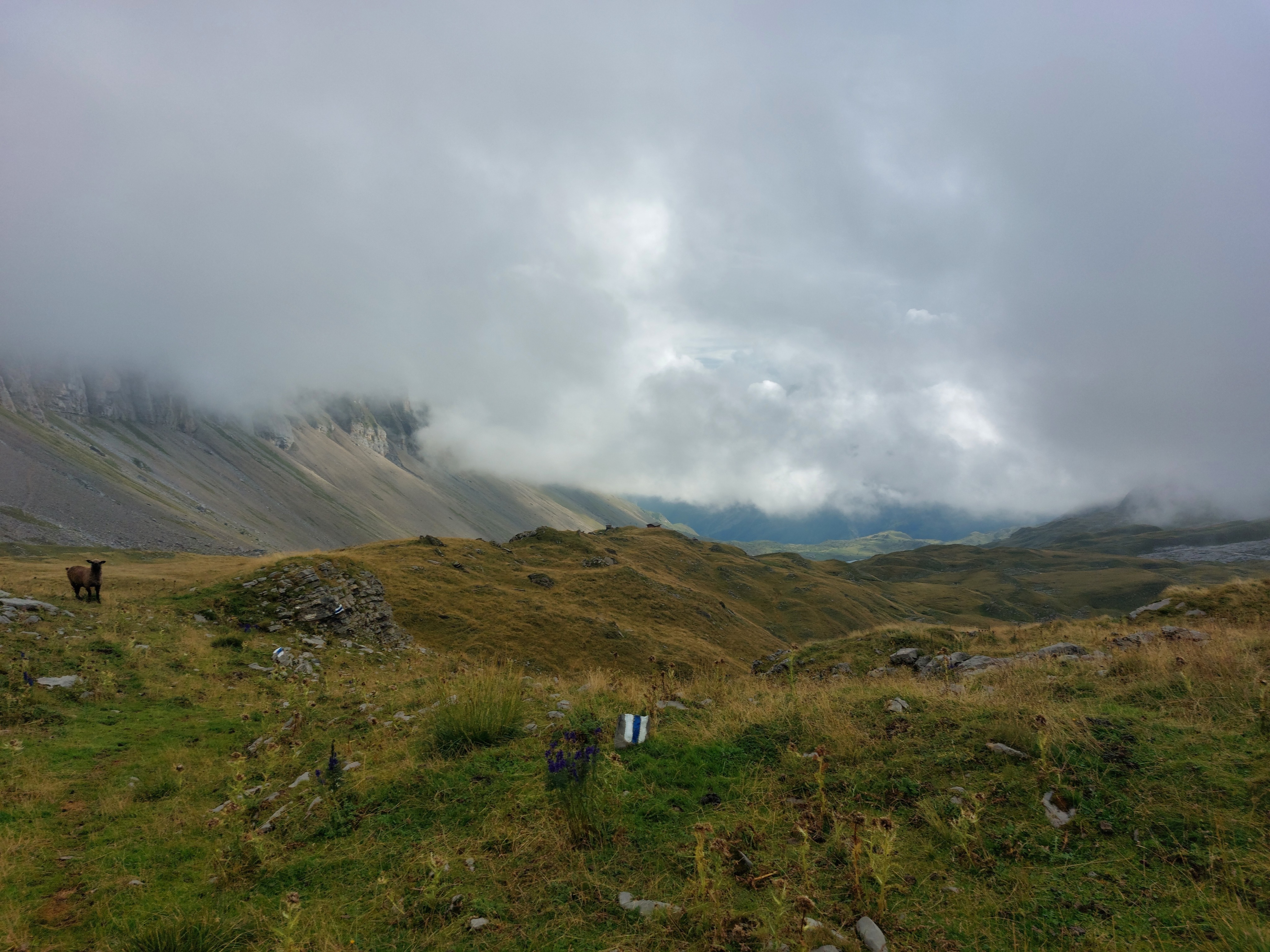
Mandatory sheep pic, with the cliffs beside and forming the base of the Chaiserstock just peeking out on the left.
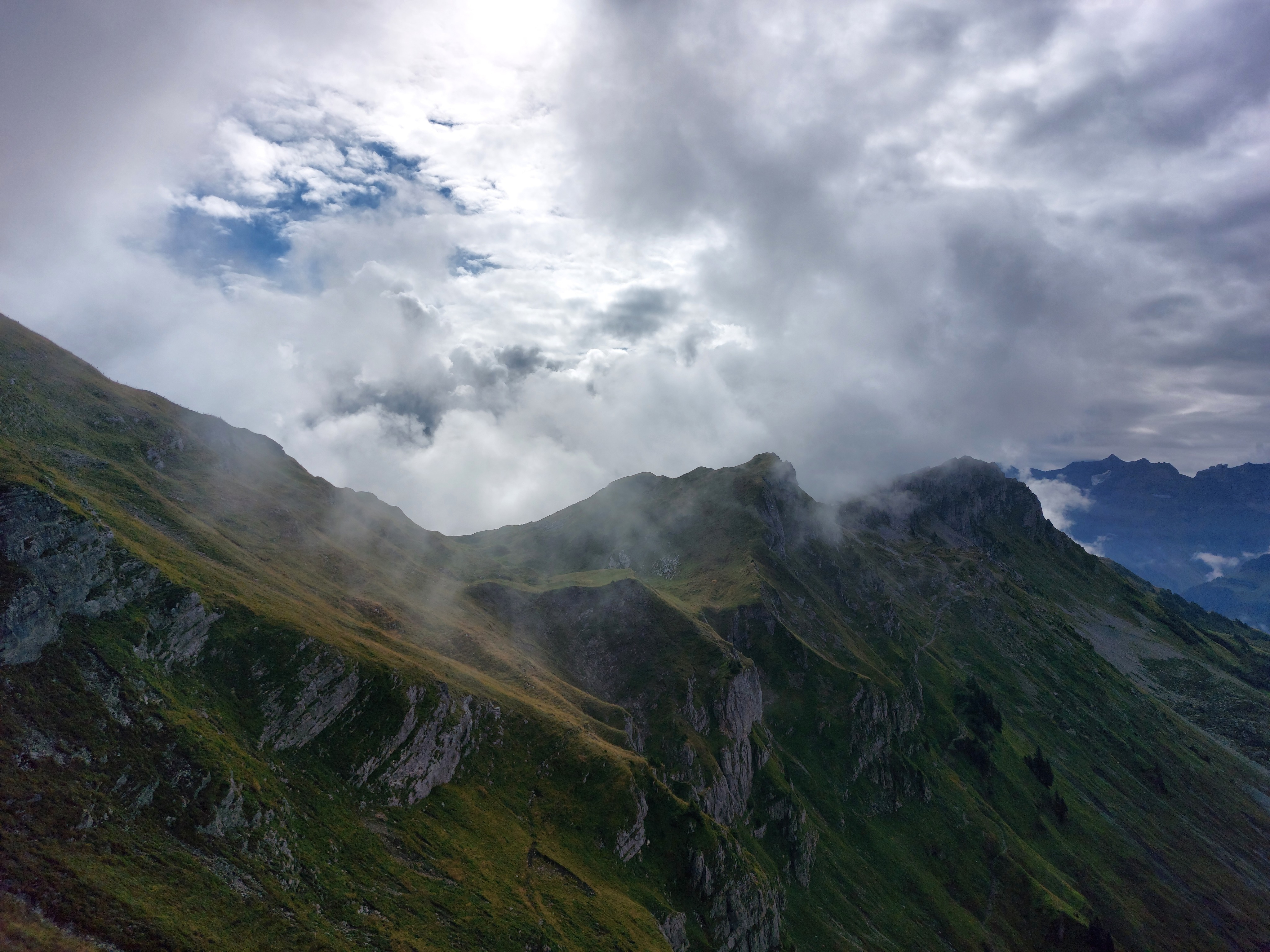
The route climbs a blanket of loose boulders and then turns left up through the cliffs to reach the plateau the Chaiserstock is on.
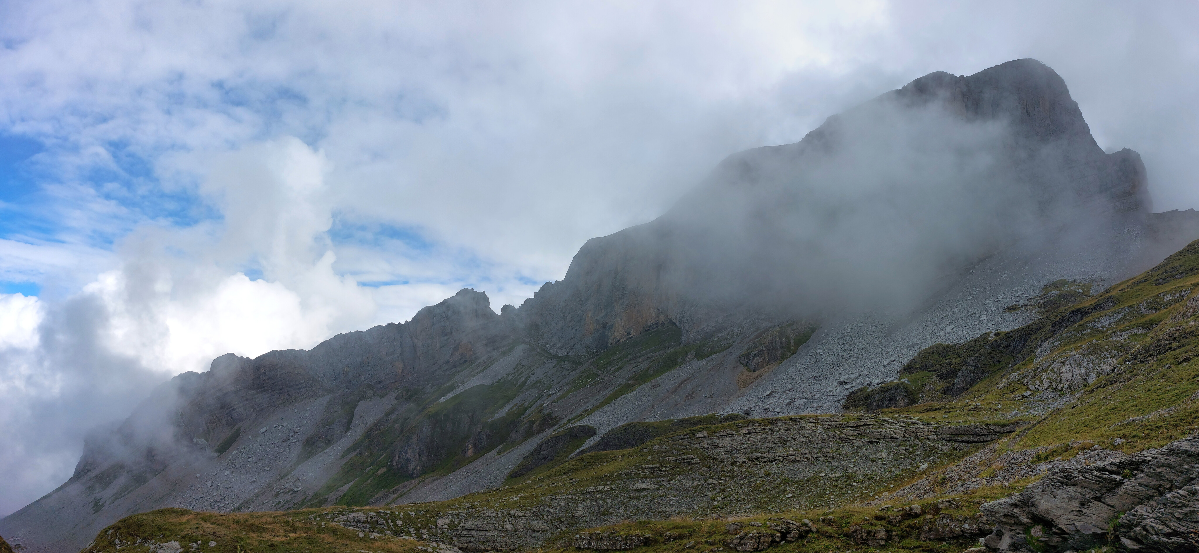
Looking back from partway up the cliffs, with a small hut sitting atop a cliff on the right.
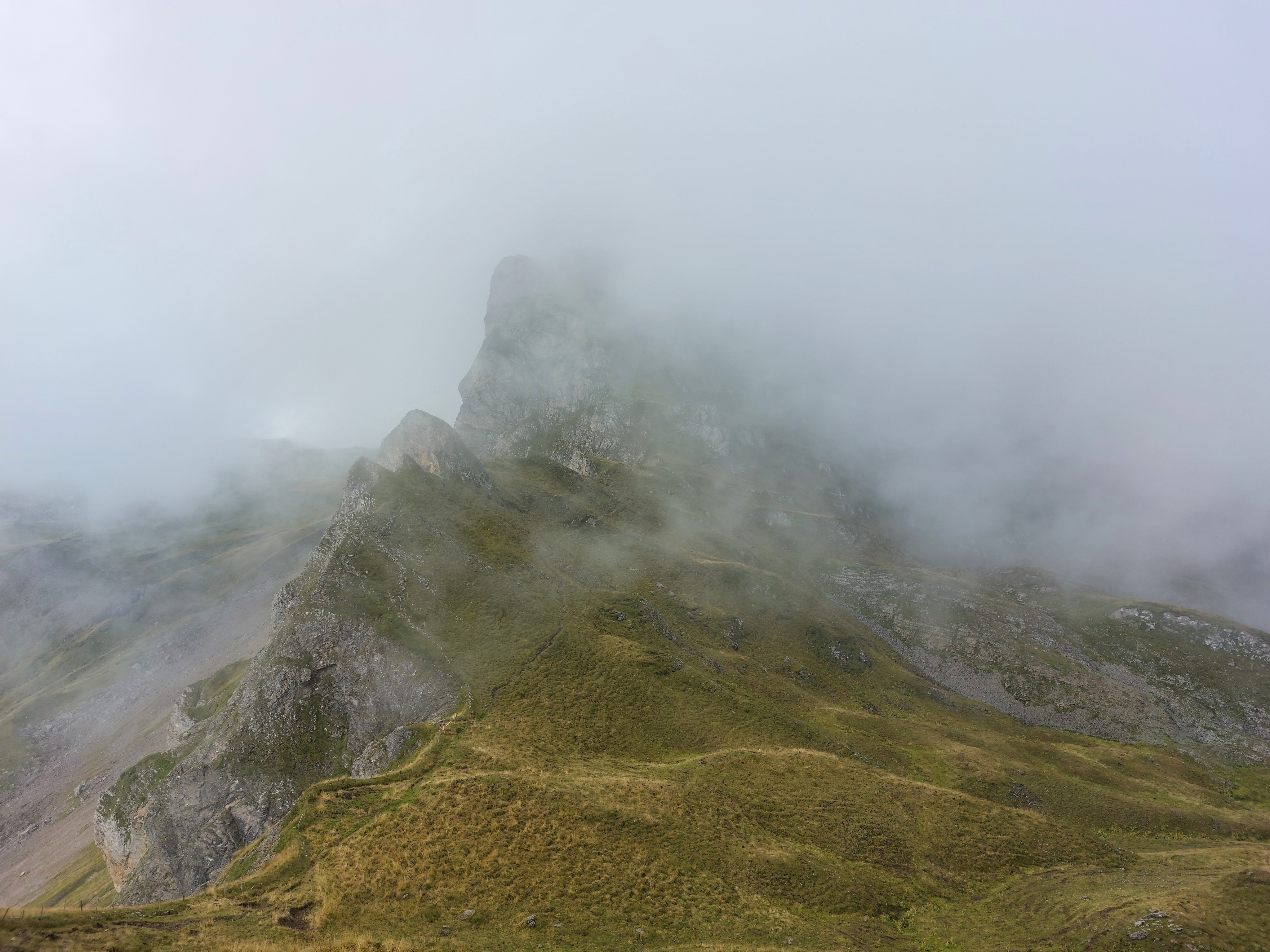
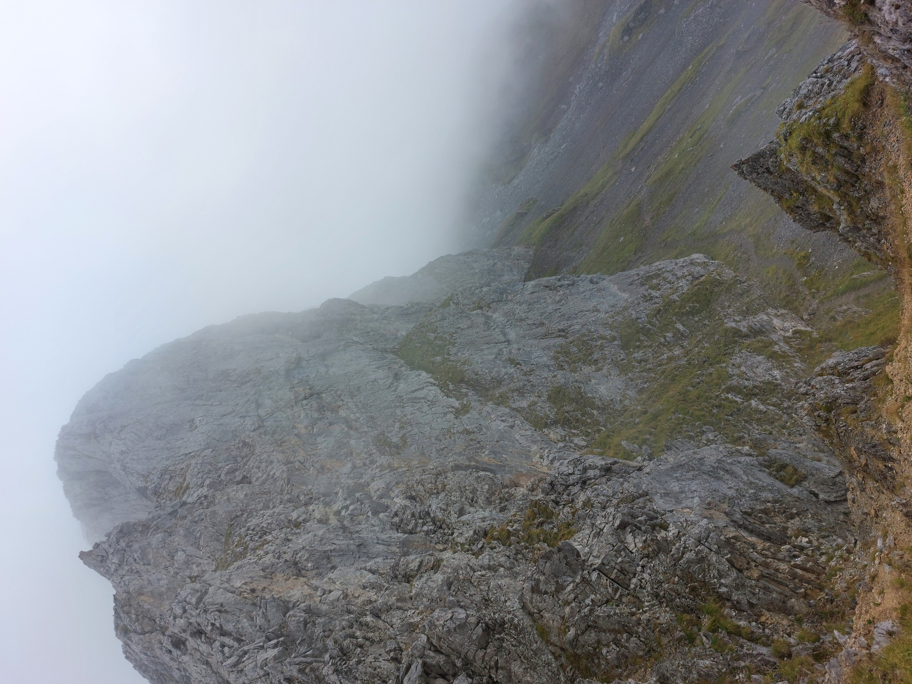
Looking back at the cliffs from partway up the Chaiserstock. The furthestmost before the partially obscured peak is where I came up.
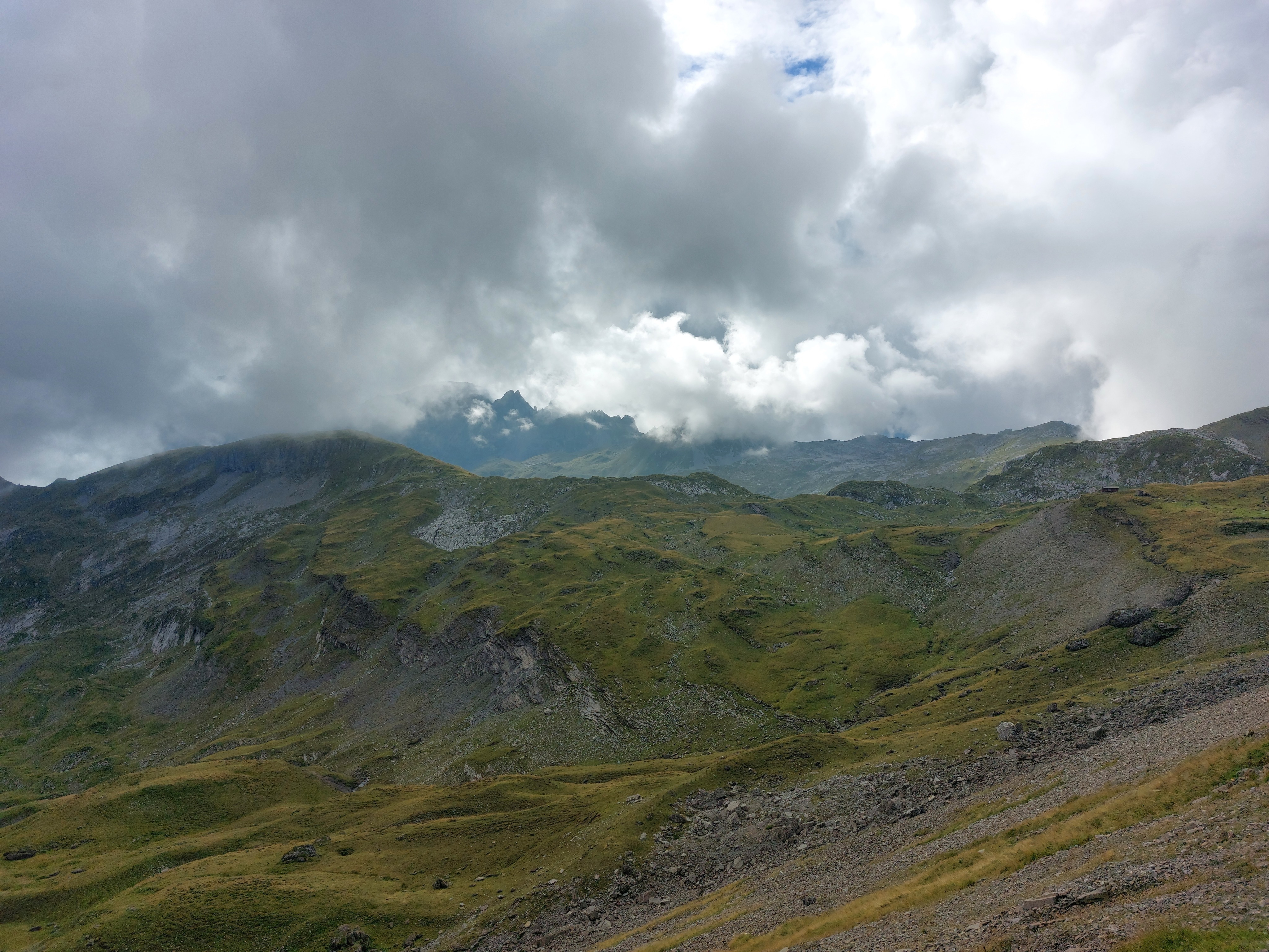
The Chaiserstock in its entirety. The path follows the rock field and to the left.
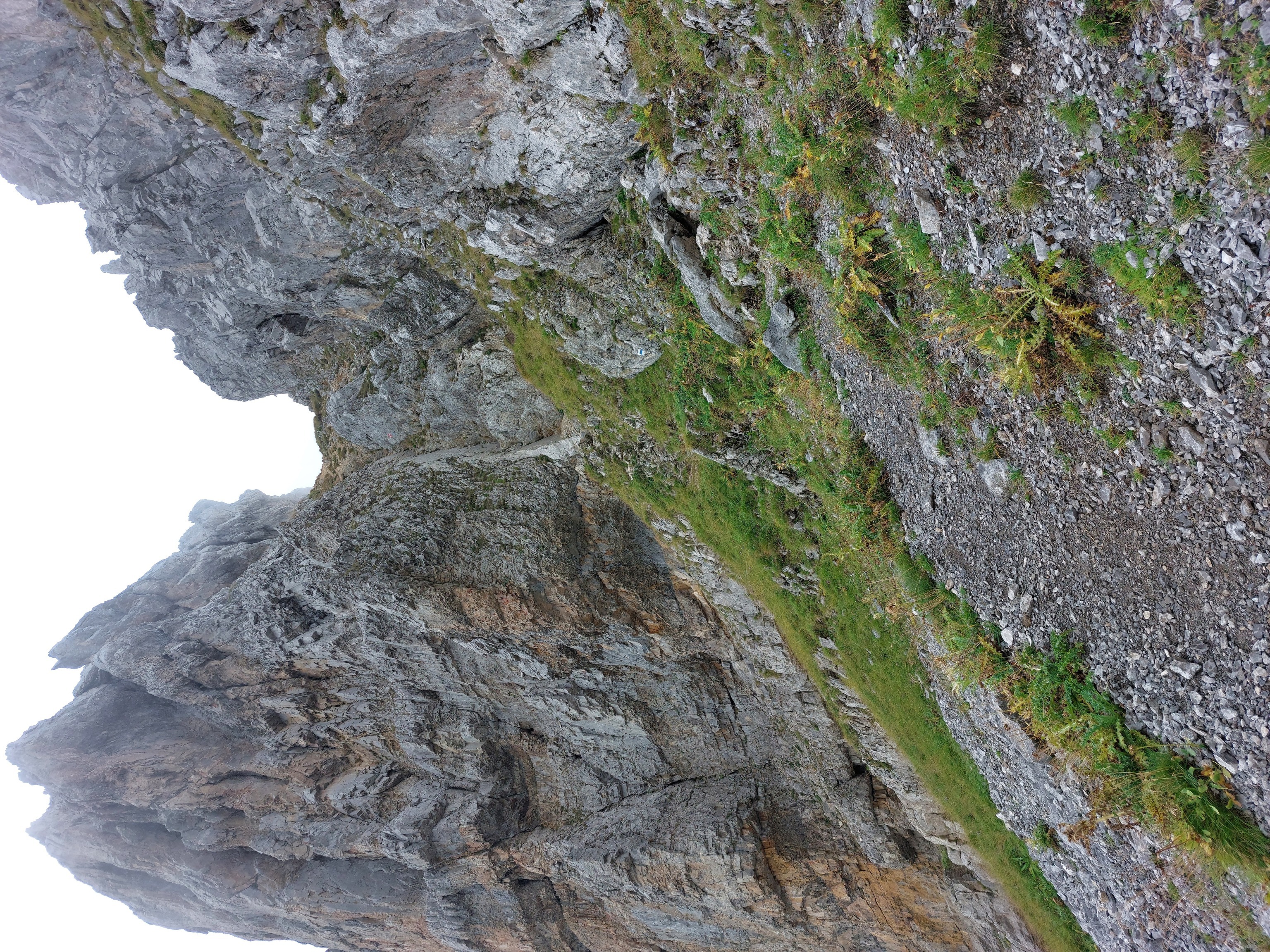
At the end of the rock field and facing the first non-walking part of the hike: some scrambling up this little gorge.
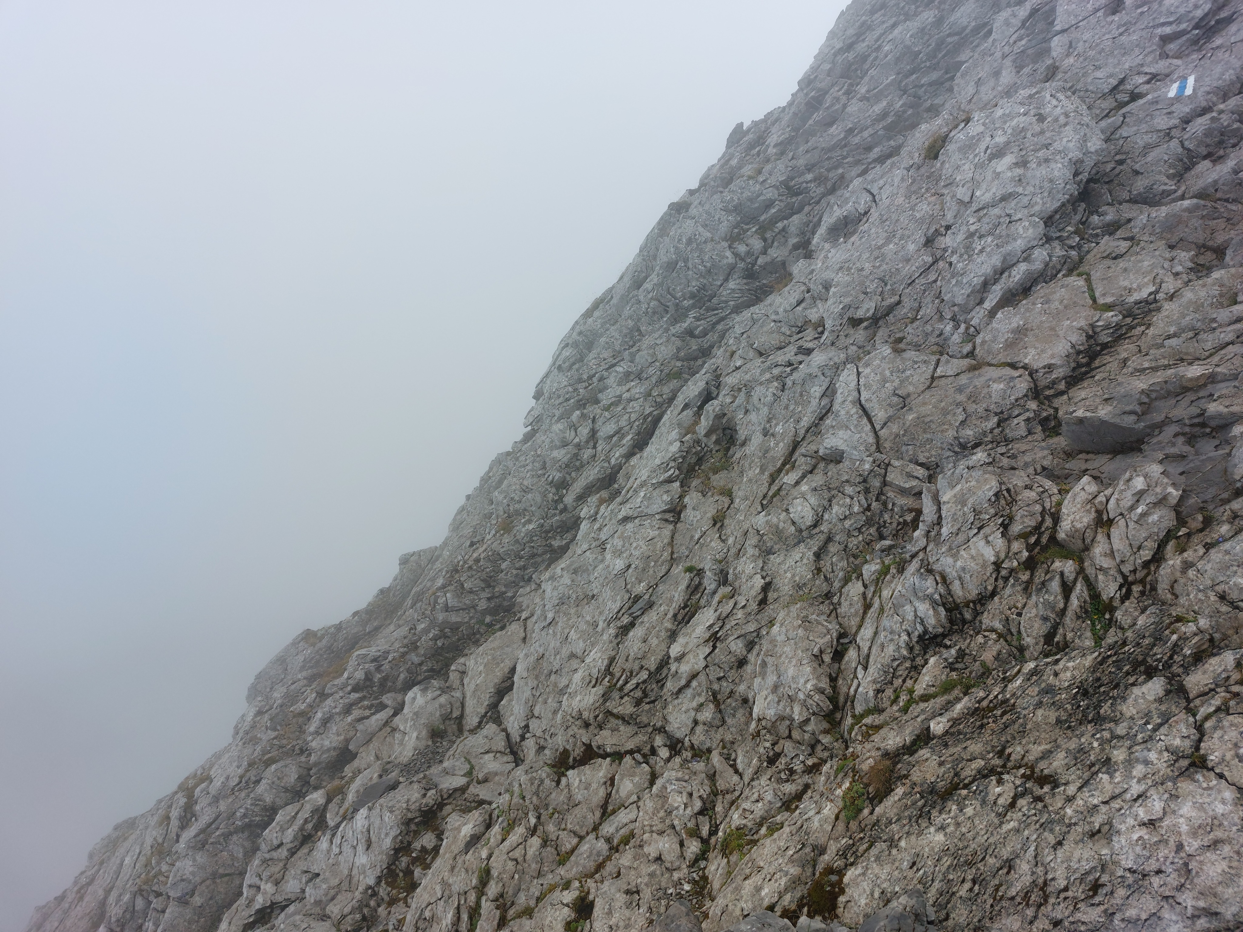
Looking along the Chaiserstock from the top of the gorge. It started raining at this point, making the rocks too slippery for comfort.
Sometimes, nature has a blunt way of telling you to turn around.
I could be convinced this is an alien landscape.
What a photogenic rock.
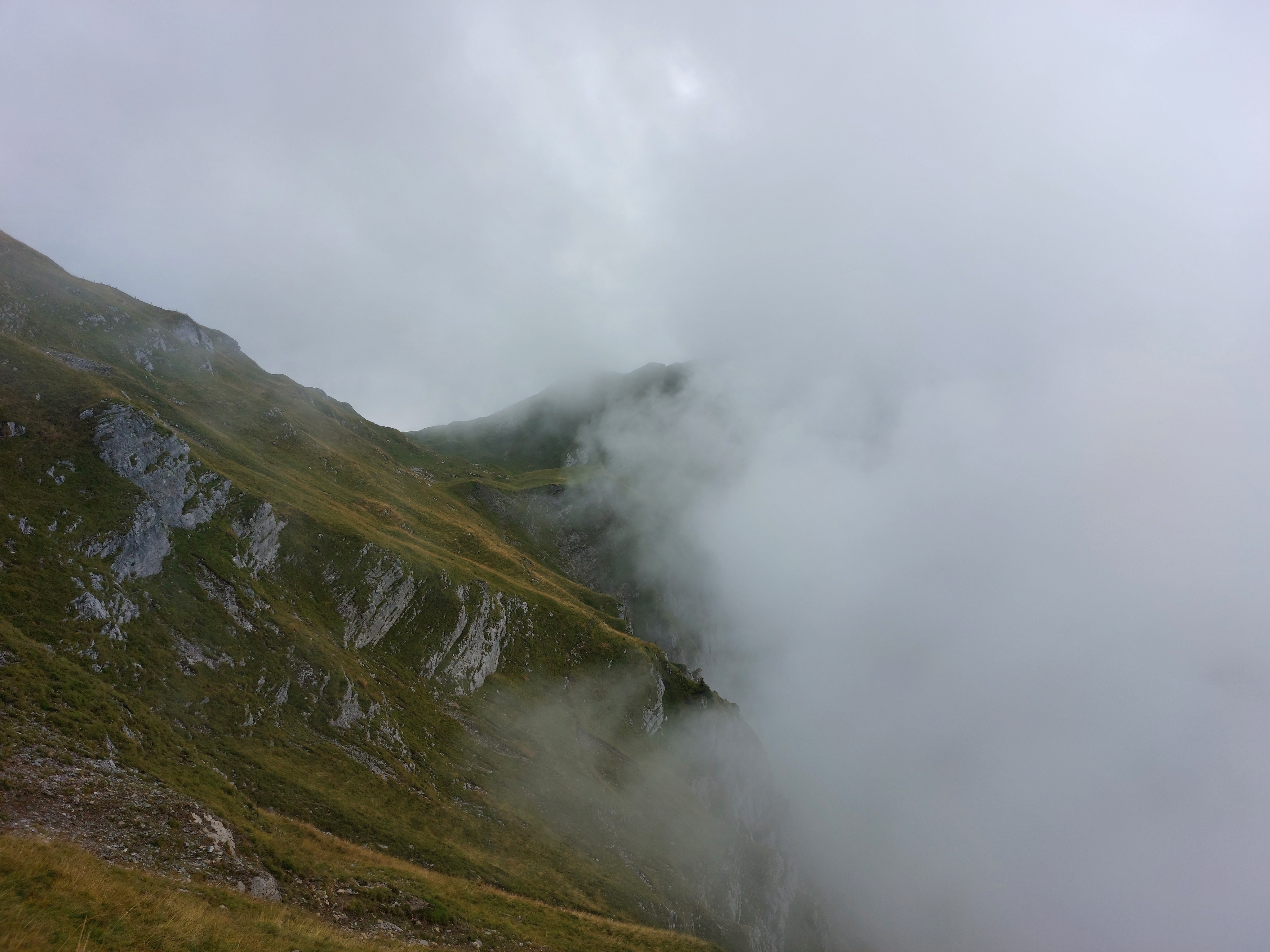
The cliffs from the second image, this time more covered in clouds