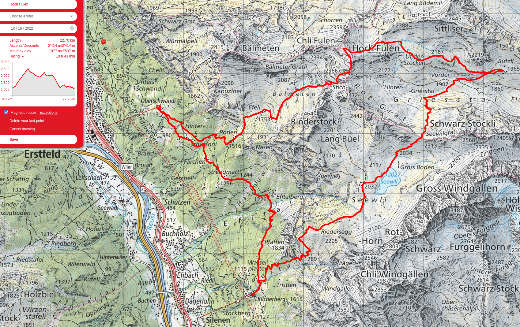
Hoch Fulen and Seewli
I took the cable car up from Erstfeld to Ober Schwandi, then hiked up to Hoch Fulen. Instead of turning around at the top and heading back, I figured I’d take the trail North-East from the summit towards Brunni, then turn back towards Seewli. Not a great move in retrospect; the view along the trail was pretty unexceptional compared to what I had just done, and added a ton of additional elevation loss and gain as I dropped down from Hoch Fulen at 2500m to around 1800m near Trittli, then went right back up to 2300 at the ridge above Seewli, then back down to about 2000m to reach Seewli itself, which had been taken over by those darn swiss cows. I hiked down to Kilcherberg, hoping to take the Silenen-Chilcherberge Openair-Luftseilbahn, but alas, I didn’t have enough cash on hand to get a ticket, having spent it all on a return ticket on the Schwandibahn at Erstfeld, so I had to jog back; I made it to the cable car with 20 minutes to spare before they closed, accidentally making what should probably have been a 4 hour and 12km day into a 9-hour 30-ish km one with the most elevation gain I'd ever done, deliberately or not. Nice views though.
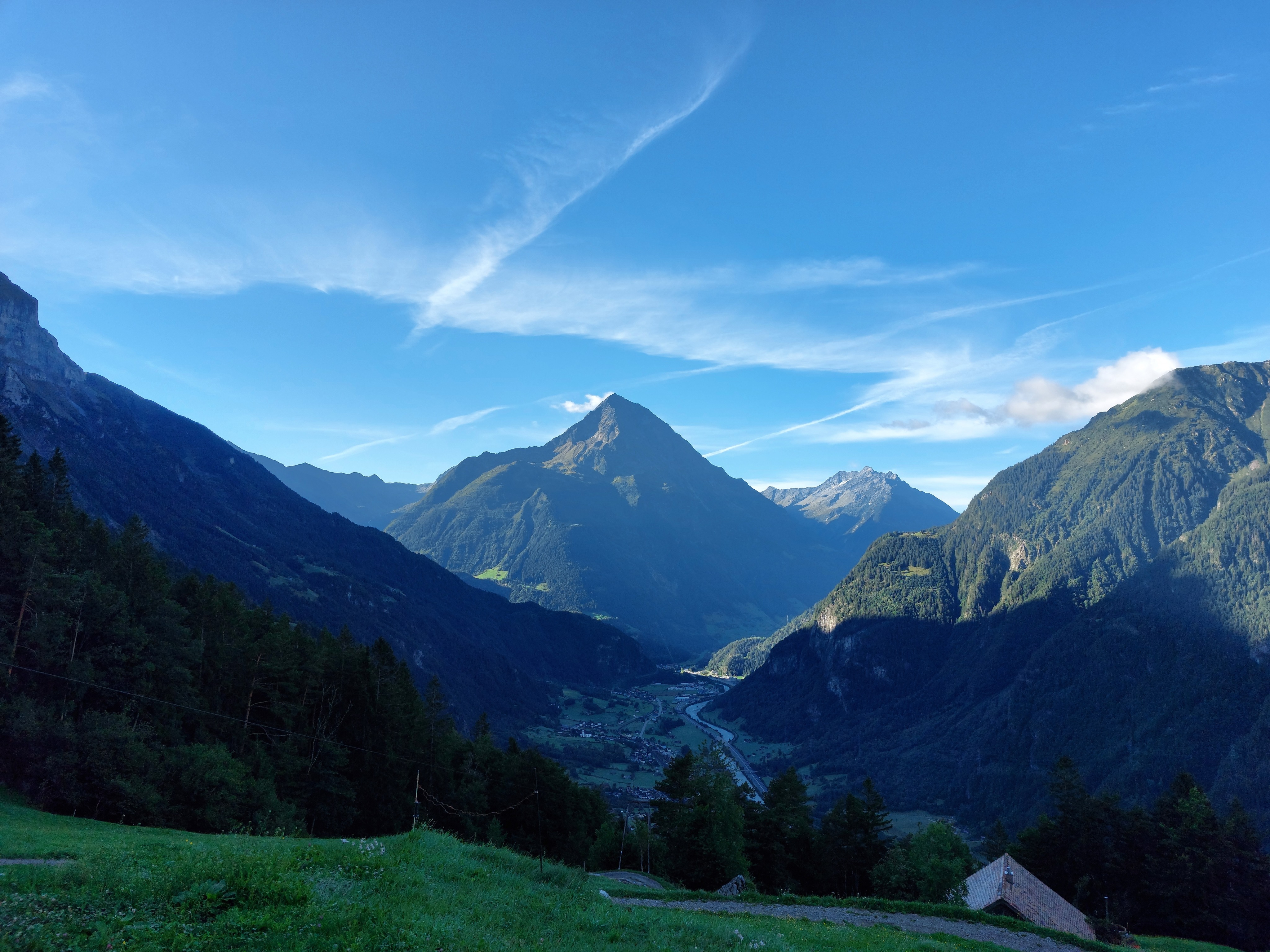
Bristen as seen from near Ober Schwandi. The first chunk of this hike was in the shade, switchbacking up through the trees.
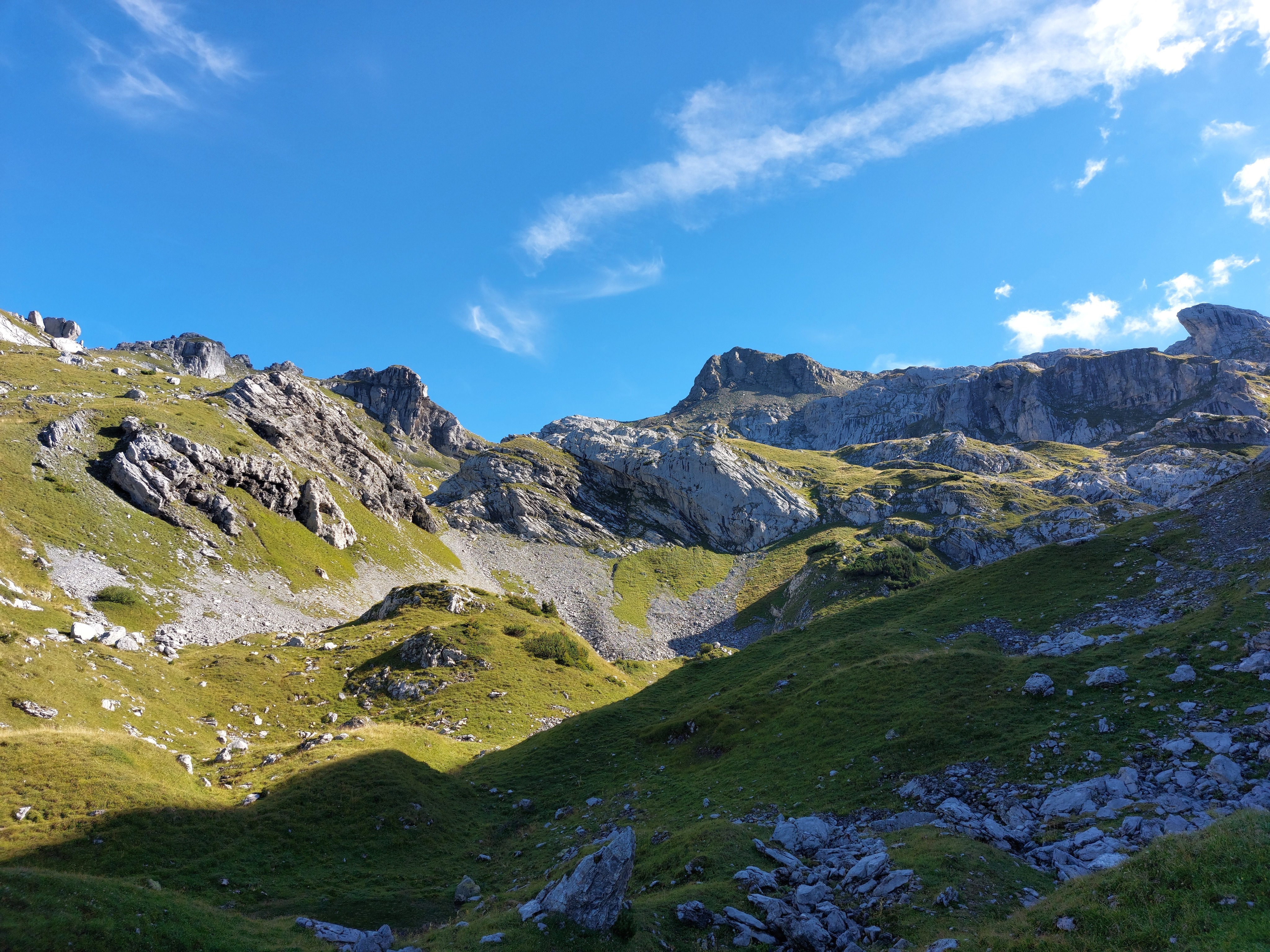
Above the treeline and into the sun; Hoch Fulen is hiding somewhere to the right.
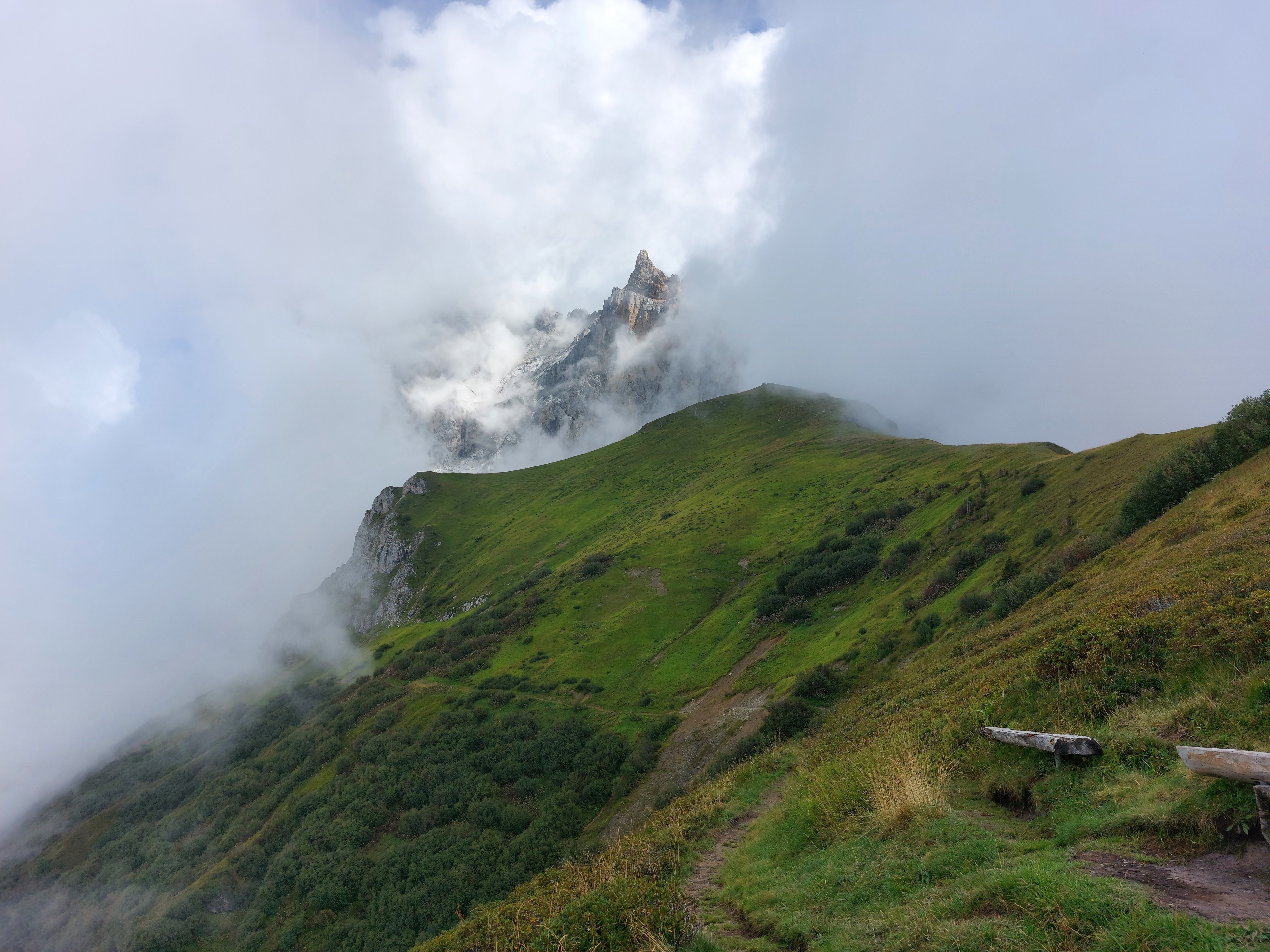
Schwarz Stöckli and Gross Windgällen as seen from atop Hoch Fulen. From here, I went off-screen to the left, down into the valley at the back left corner, then back along the base of the pointy mountain and up to the pass between it and the ridge on the right in the foreground.
Said way down from the summit, looking to the left of the previous image.
Facing west from the summit of Hoch Fulen, the direction I had come from.
Schwarz Stöckli a bit closer up while descending to the left towards Brunni; the way back up was along its base.
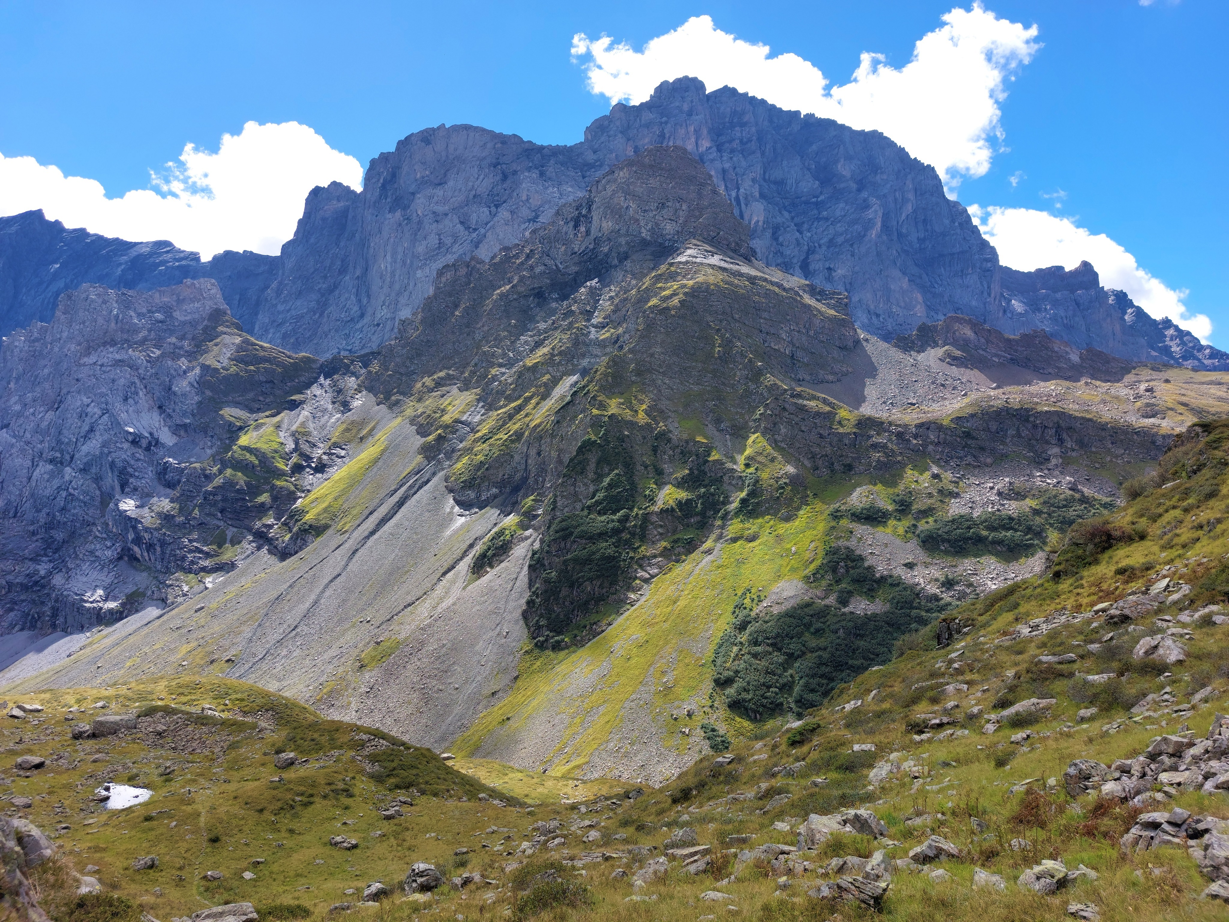
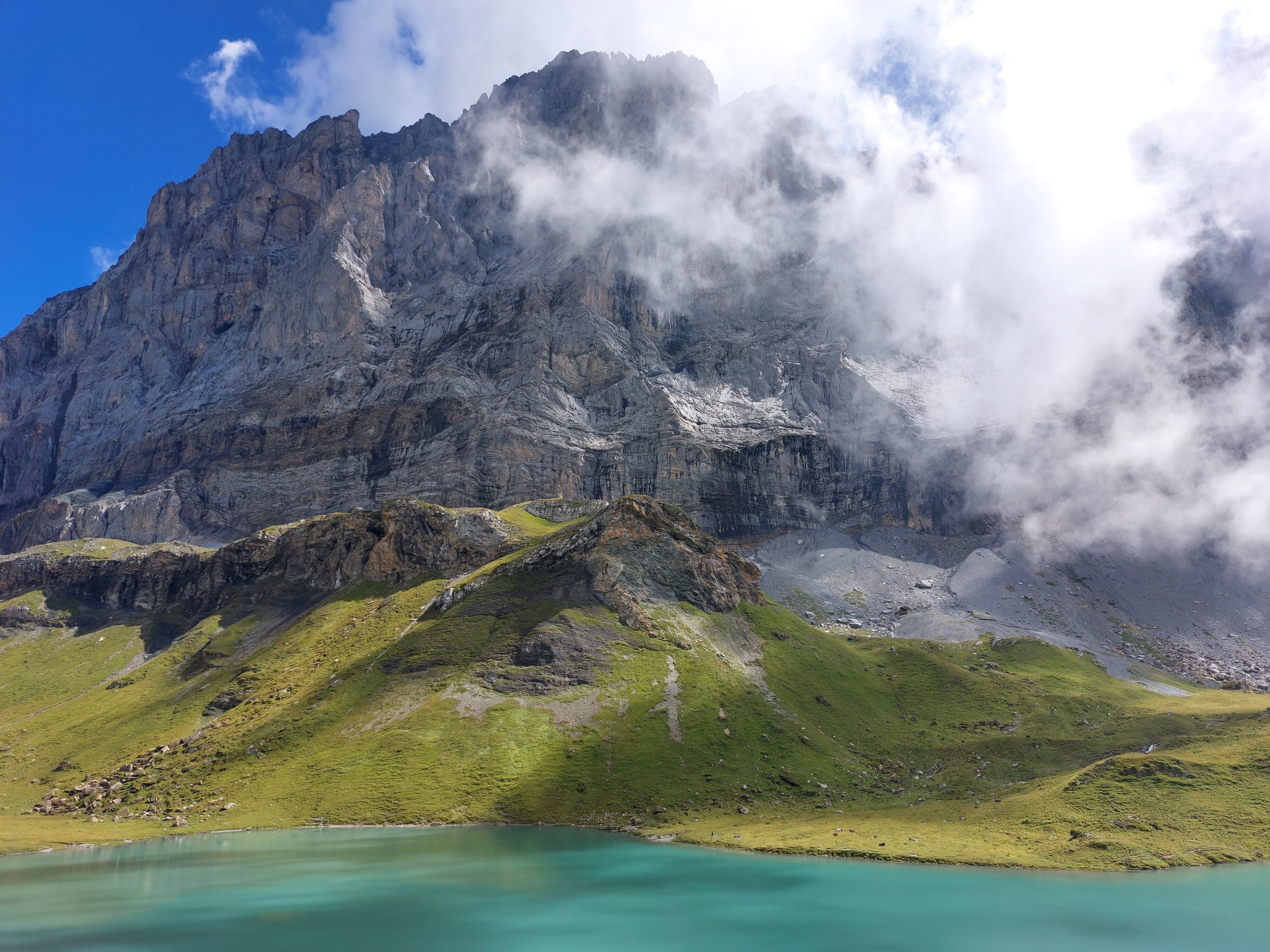
Schwarz Stöckli from the pass (pass visible to its right in the third image).
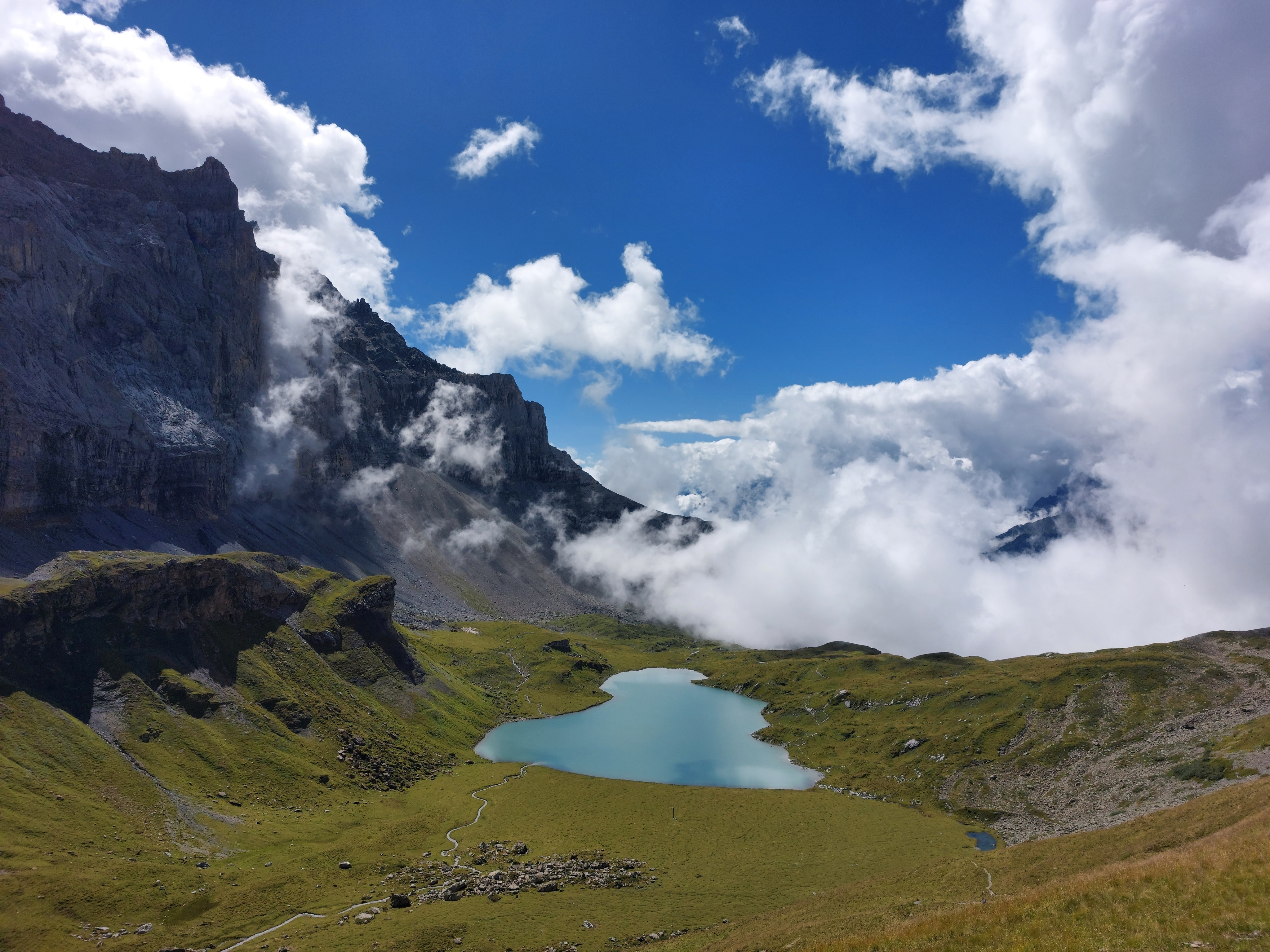
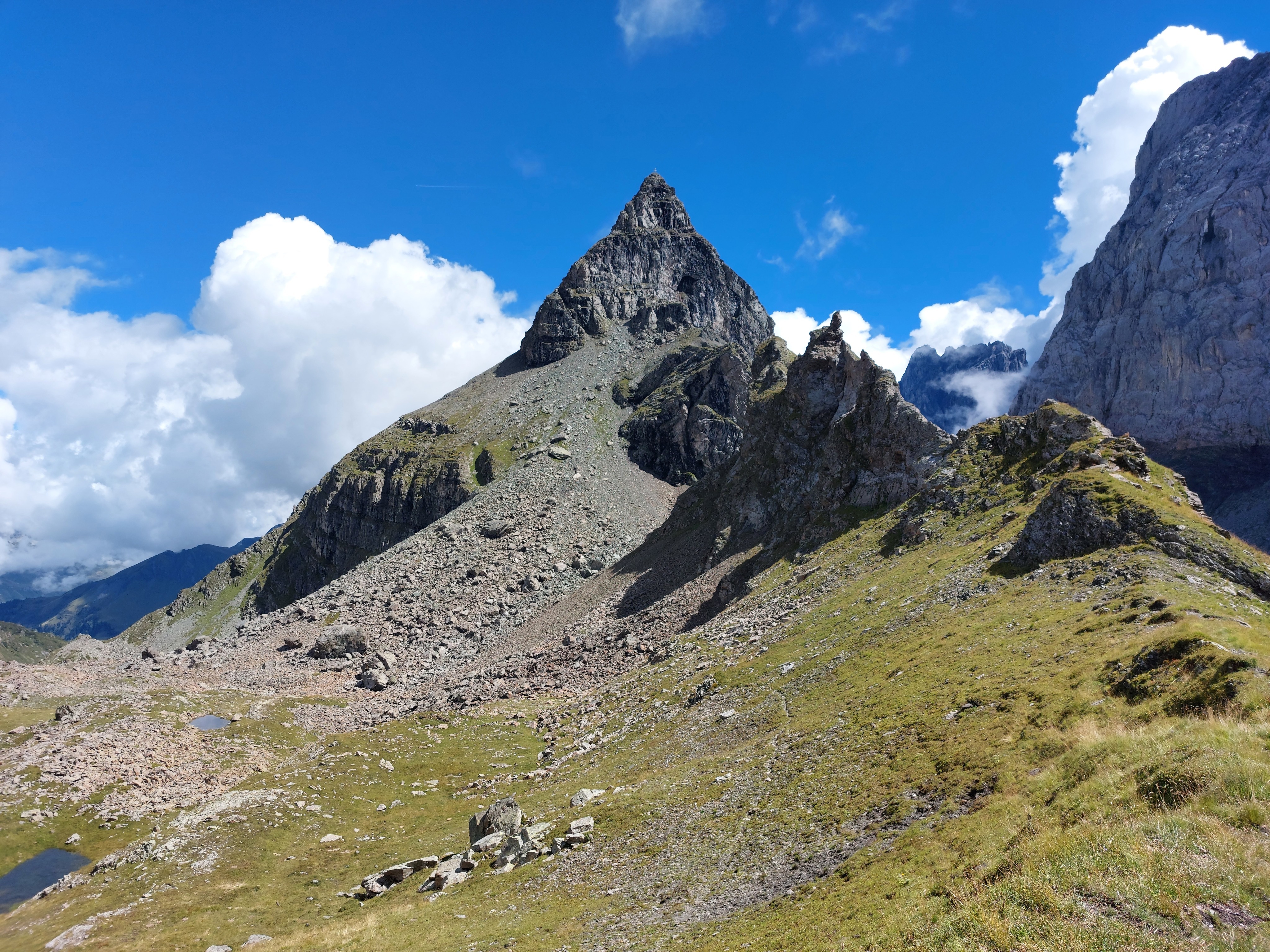
Turning to the right, we can see Seewli, with Gross Windgällen to its left.
Gross Windgällen looming over Seewli. The lake is deceptively large, there are people and cows on the other side!
The path leading south-west-ish towards Kilcherberg.
Looking back towards Schwarz Stöckli and Gross Windgällen; the route down from the former is just off camera to the left.
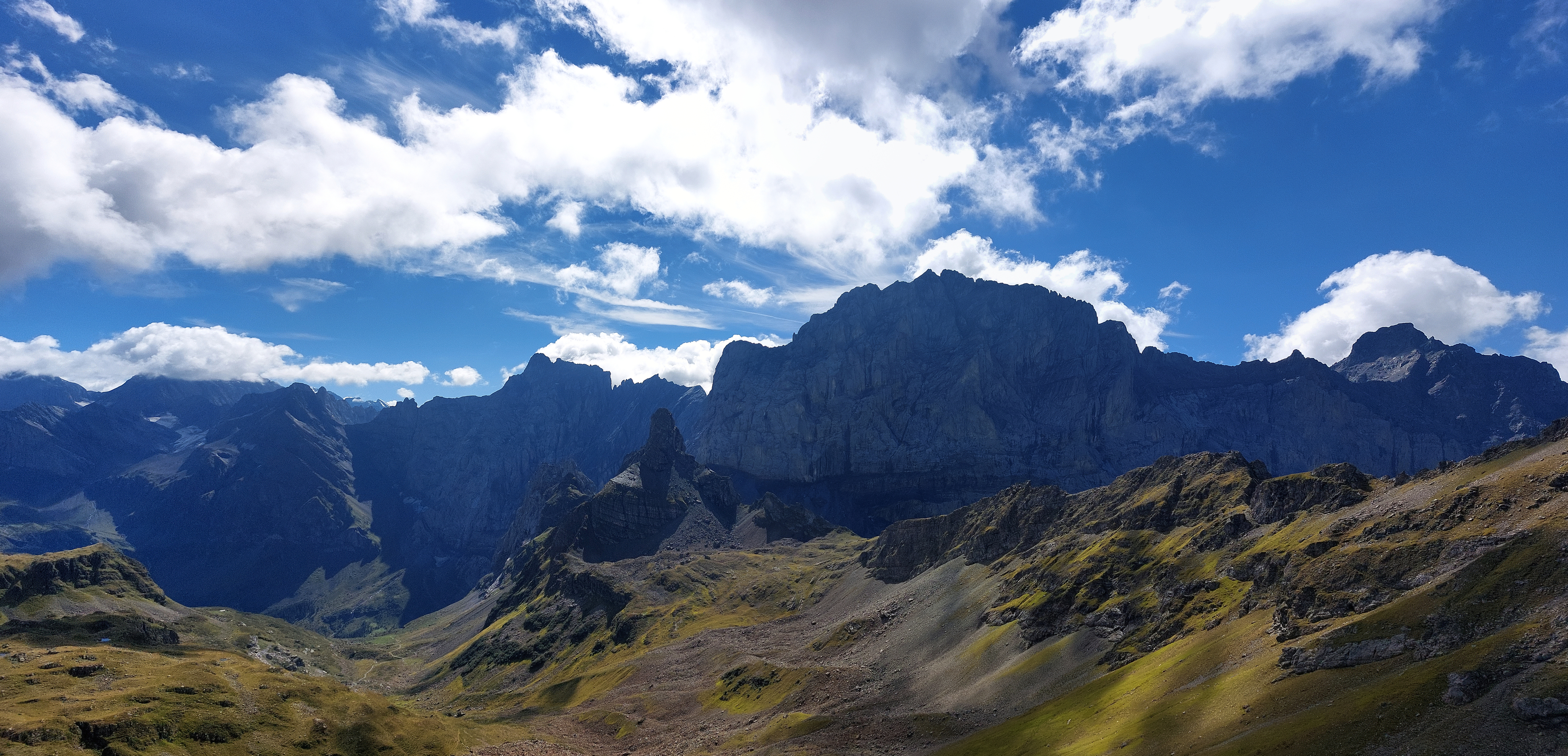
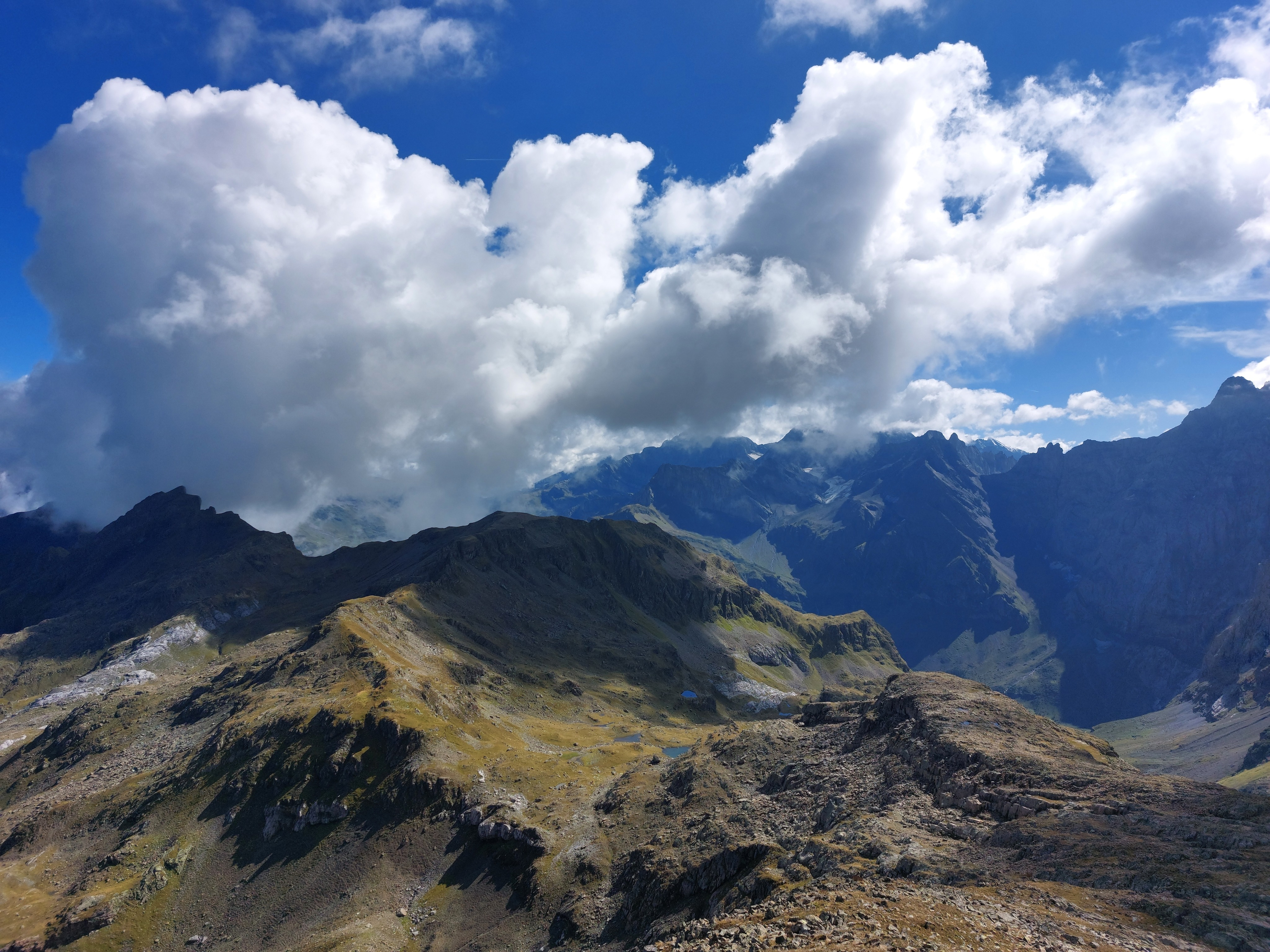
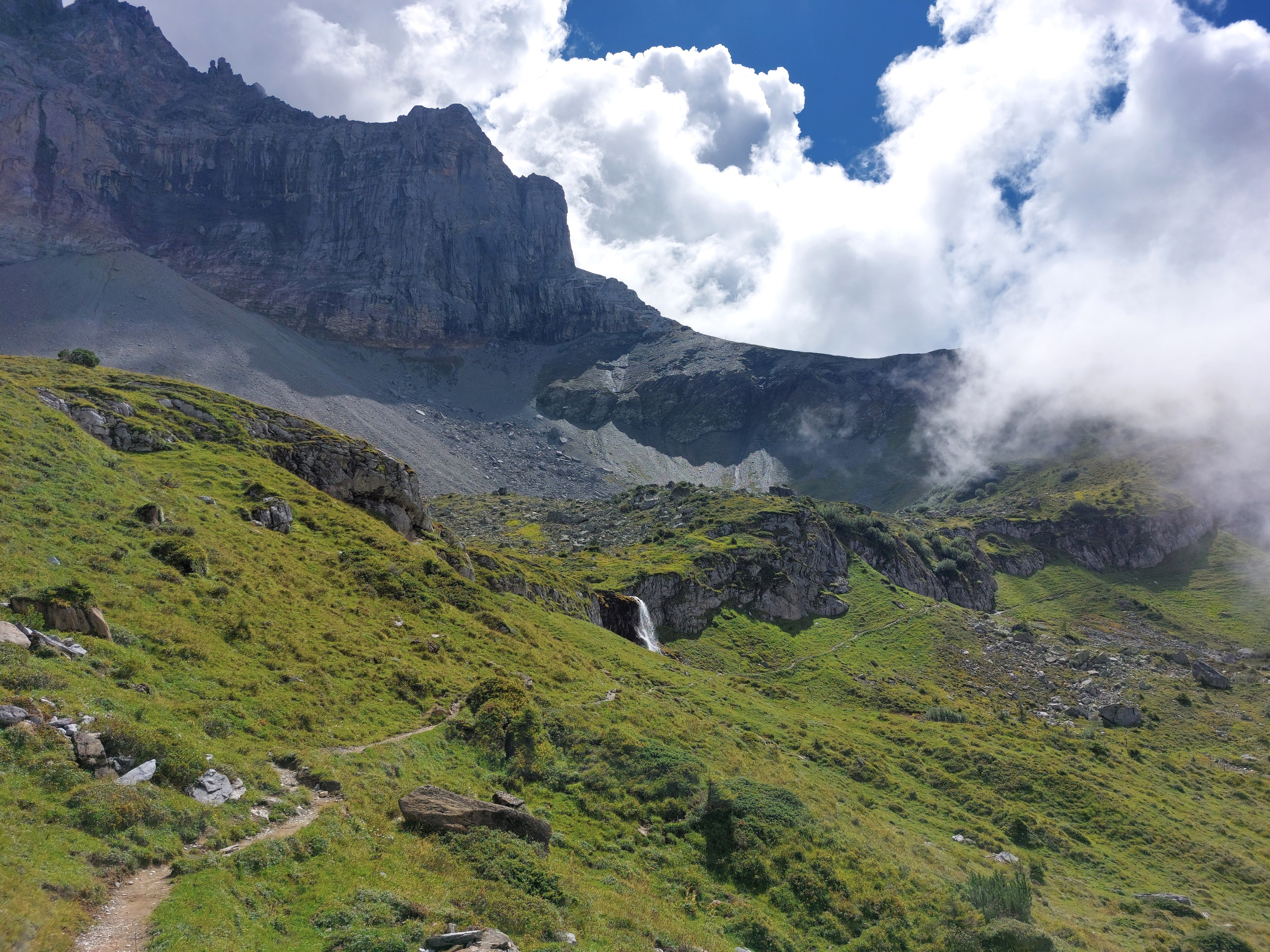
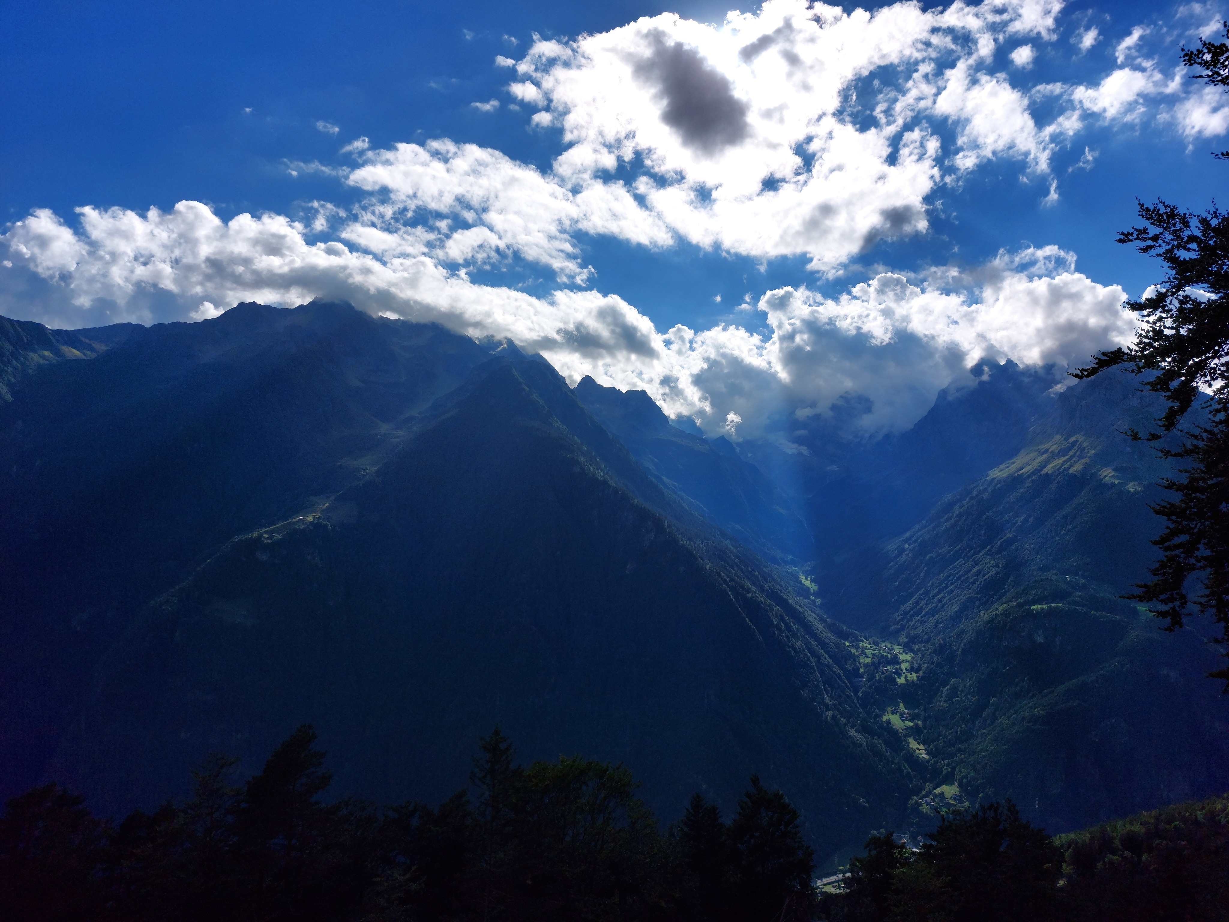
Some mountains in the clouds.
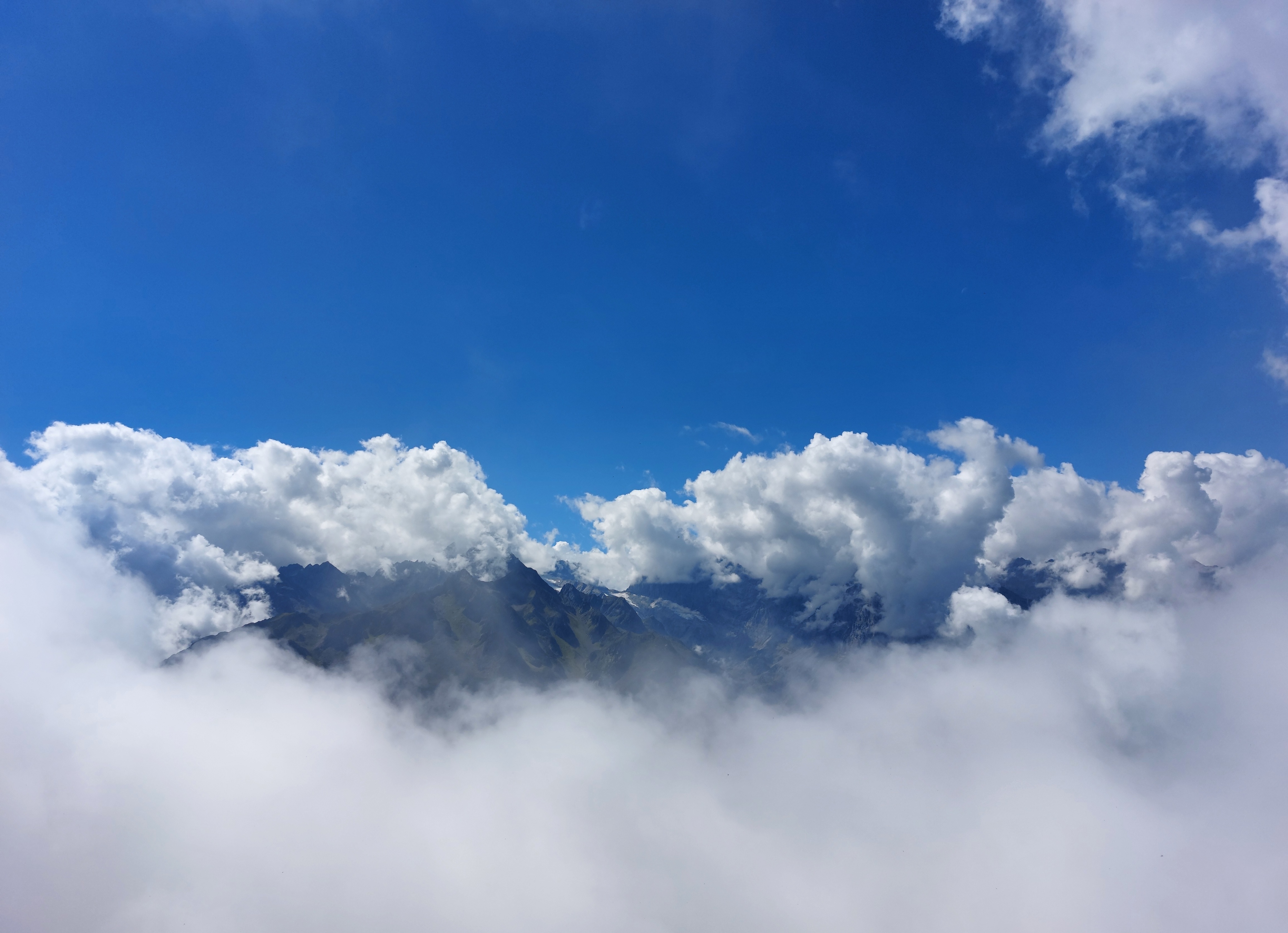
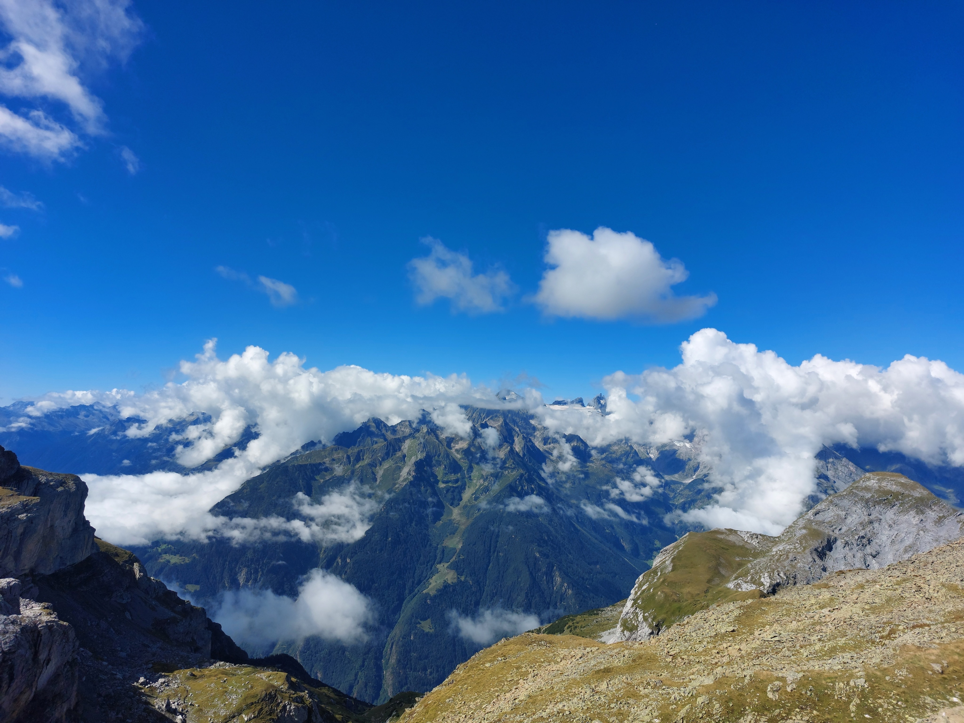
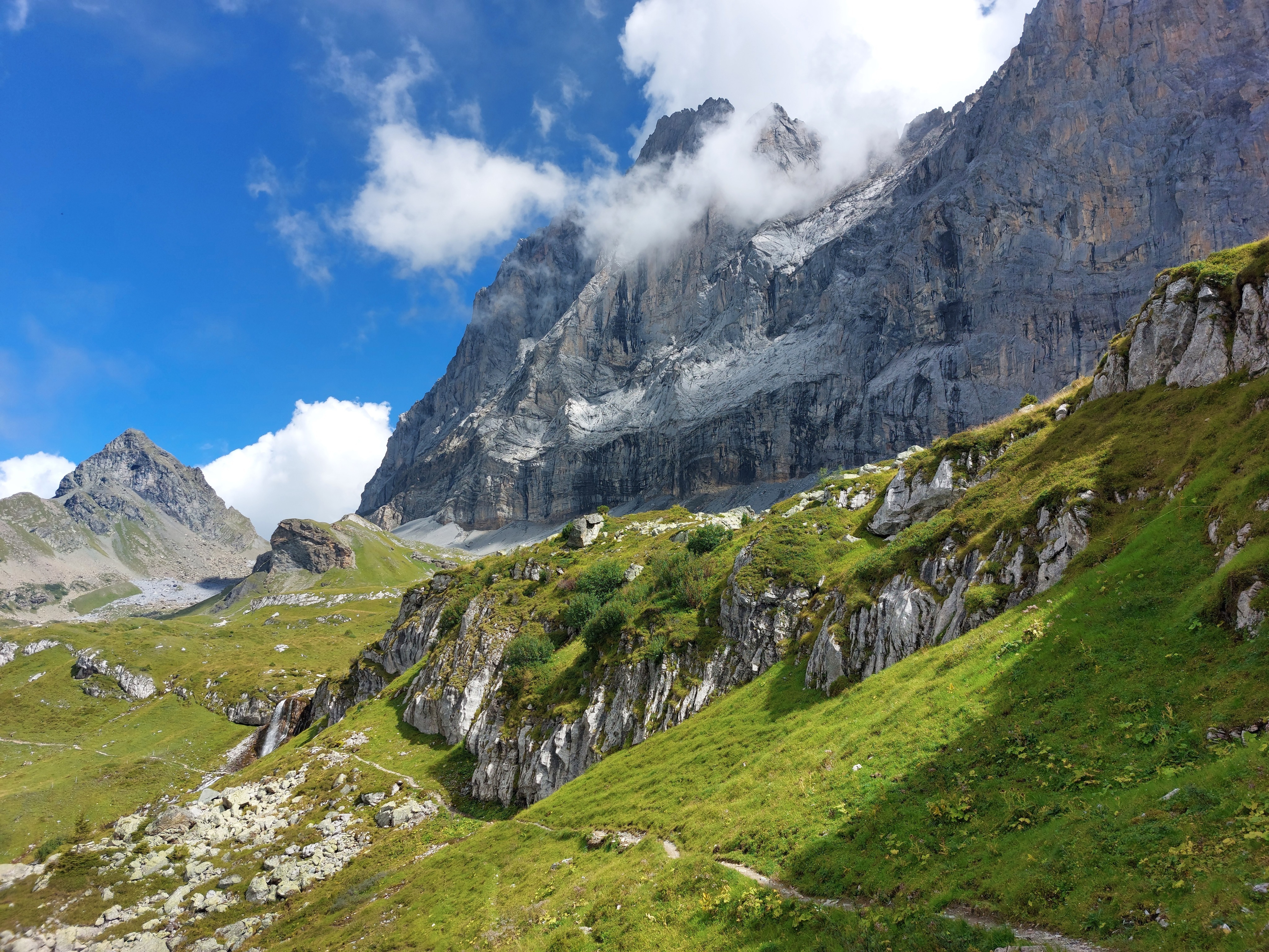
More mountains playing peekaboo with the fast-moving clouds.
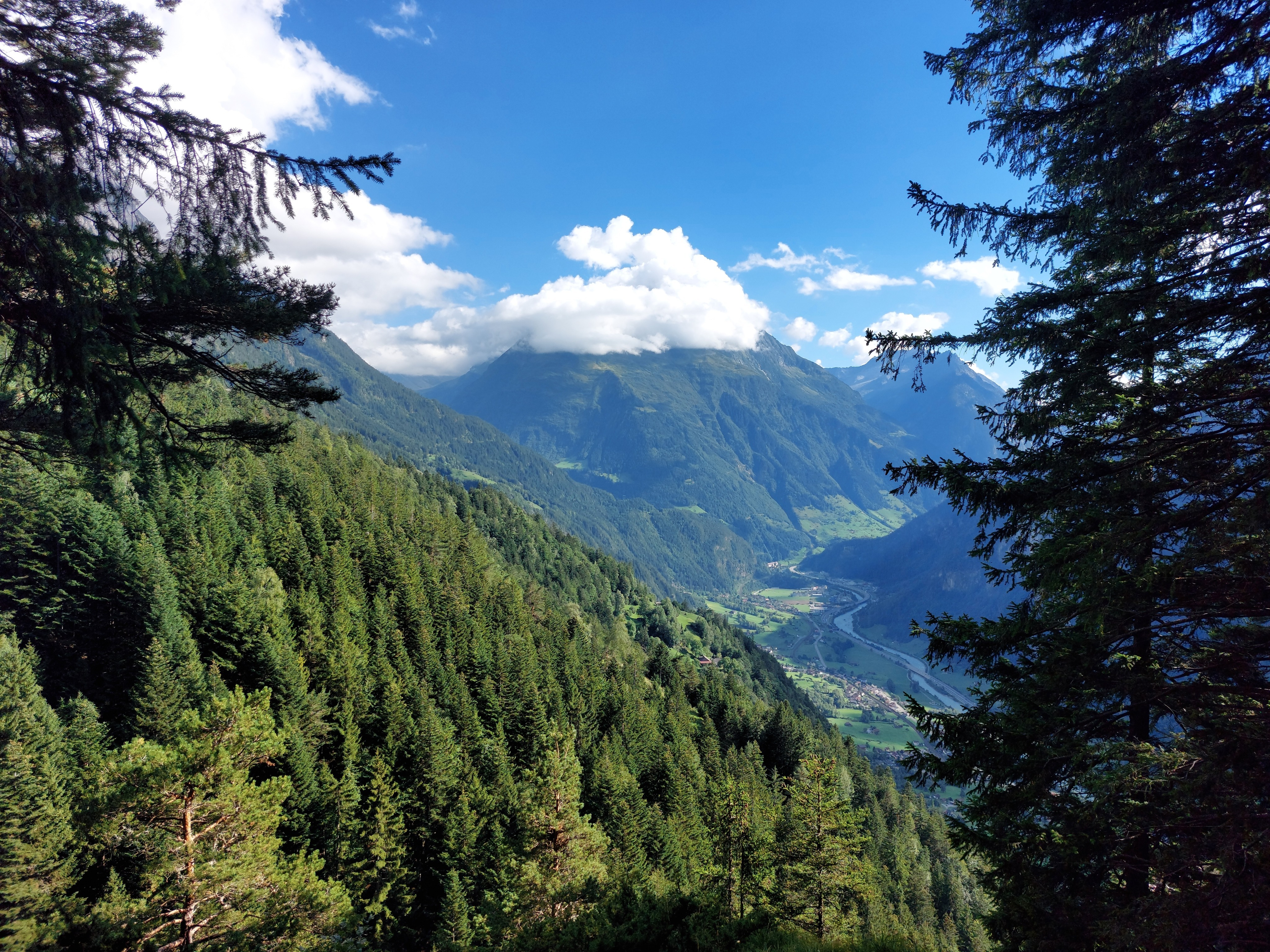
View from near Kilcherberg, facing north towards the beginning of the route. Ober Schwandi is in one of those clearings just to the left of the center of the image, below the dominant mountain. The first chunk of the route was up through the trees in the center and right of the image. The peak on the right, Baelmeten, is visible in the 5th picture (the one on Hoch Fulen facing the direction I had come from), to give an idea of the distance traversed.
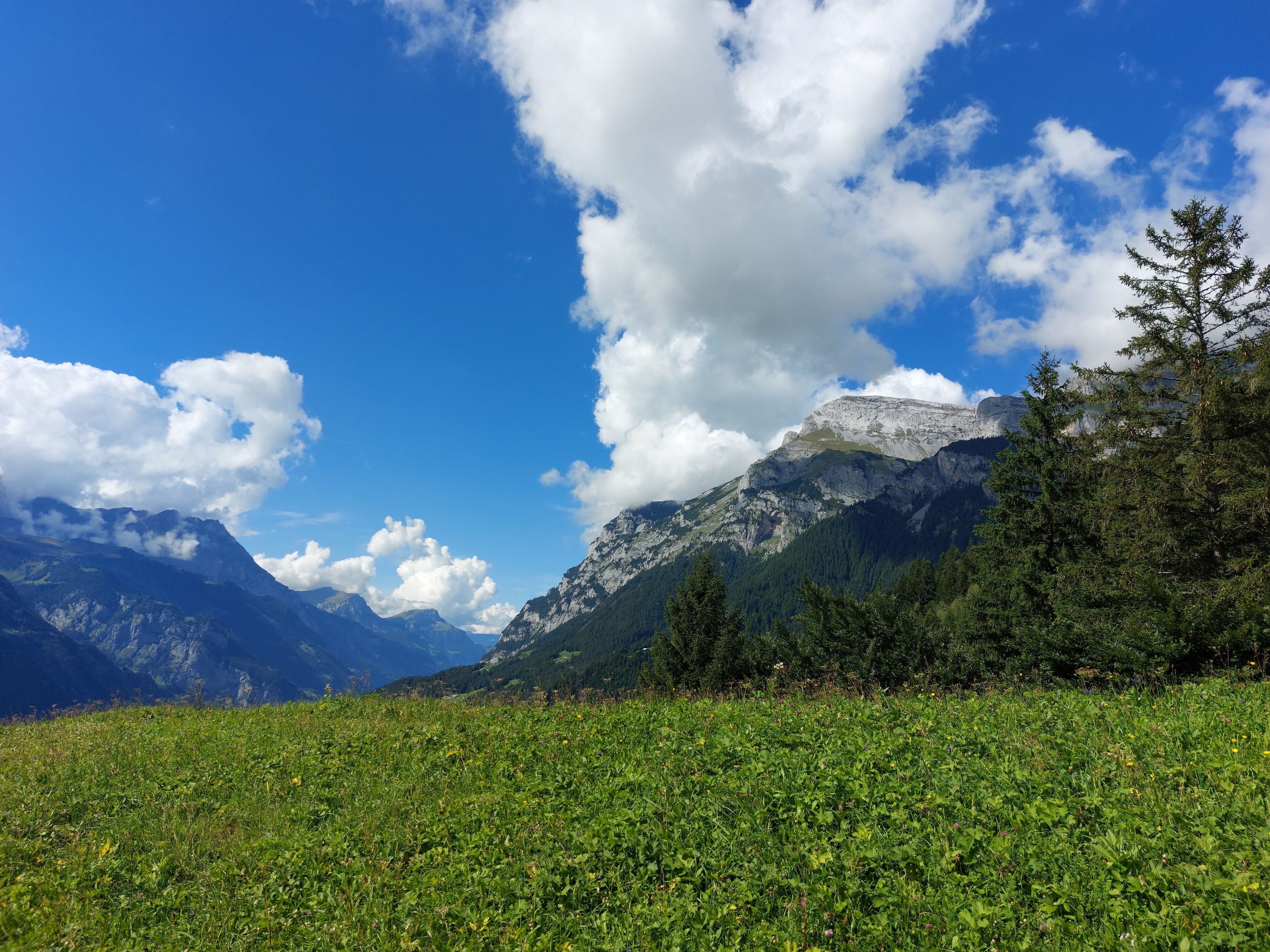
A familiar mountain, with the summit blocked by a very impudent little cloud.
Back near Ober Schwandi, with Jakobiger (5th picture again) and sunlight percolating through the clouds. A very aesthetic end to the hike.