Pizol, Hochwart, and 5-Lake Hike
Naturally, having just finished my exams and gained some breathing room, the weather in Switzerland turned from 30 and sunny to 15 and rainy/stormy. I took advantage in a lull in the bad weather to go for a hike. I took the cable cars from Sarhans to Pizolhütte, hiked up Pizol, then Hochwart, and finally did the regular 5-lake hike. It may have been a little much for a single day (something like 25km with a bunch of uphill and downhill). I was slightly hesitant to go up Pizol due to it’s “alpine trail” rating instead of “mountain trail”, but there were only a couple sections with cables and no crazy exposure; I honestly found it easier/safer than Säntis. The glacier was completely melted, which was super crummy (thanks us for warming things up!), but everything else was pretty much picture perfect. You’d think after learning my lesson in California, I’d wear long-sleeve shirts and hats everywhere, but for some reason, my brain had a short-circuit, and I didn’t wear anything, so I burnt pretty badly. The hike was beautiful, my skin, not so much.
Milsiband from the cable-car up to Pizolhütte.
Sargans as seen from Pizolhütte, and the starting point of the hike.
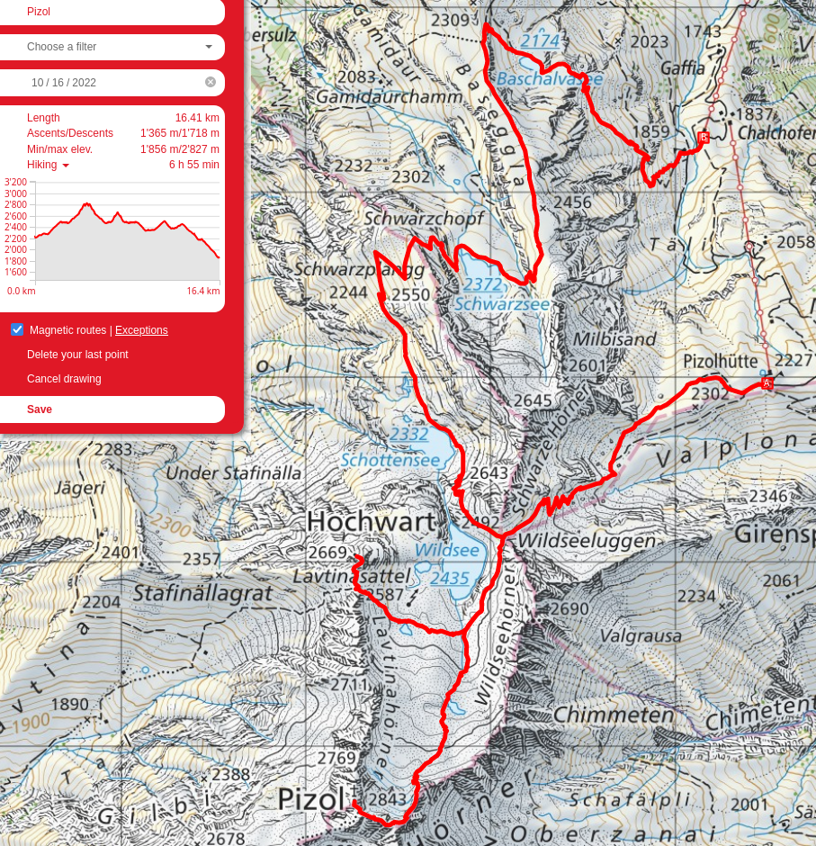
Facing the other way, Wildseehörner and to its right, the switchbacks which will lead to Pizol.
From the top of the switchbacks in the previous picture, looking back at Pizolhütte.
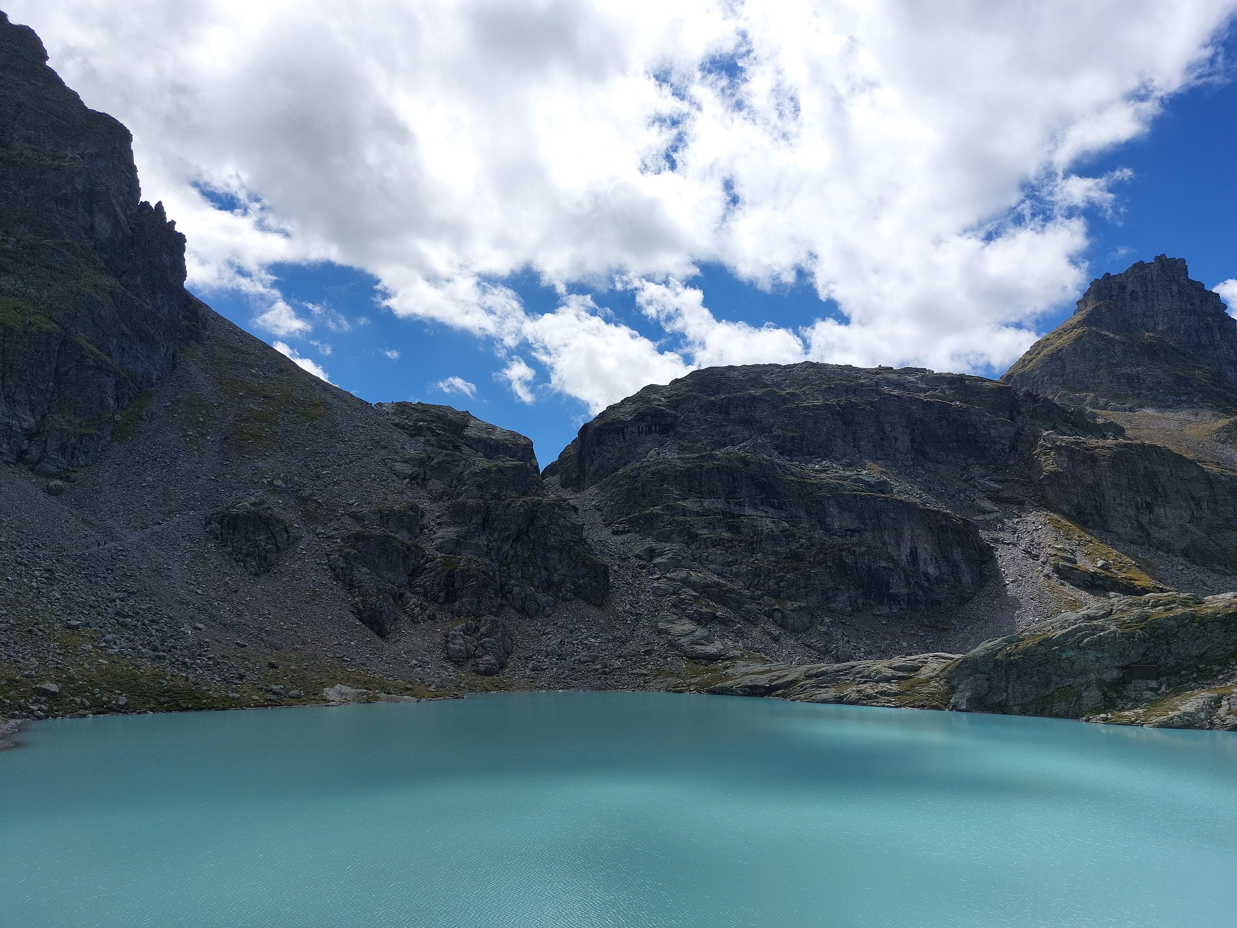
Wildsee with Pizol far in the background. The route goes through the bowl, up the ridge on the far side to the left, and then to the summit.
My first "alpine" route. Honestly, not any worse than the cable sections on Säntis.
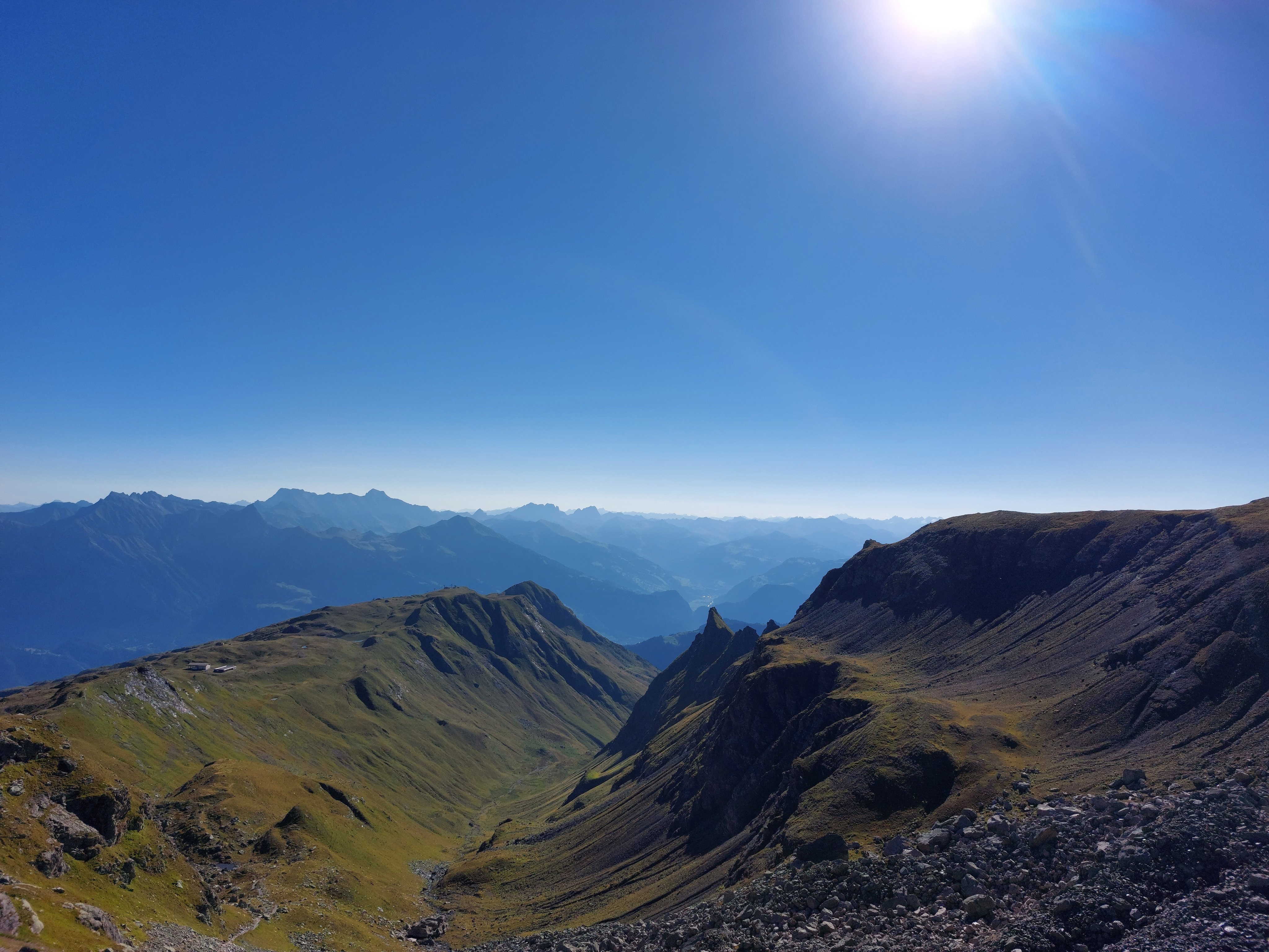
Wildsee, Chäserrugg and friends, and off in the distance behind them, Säntis! The furthest mountain on the left side of Pizol's chain is Hochwart, which I went to next. The Pizolhütte is visible on the right side, on the flat ridge.
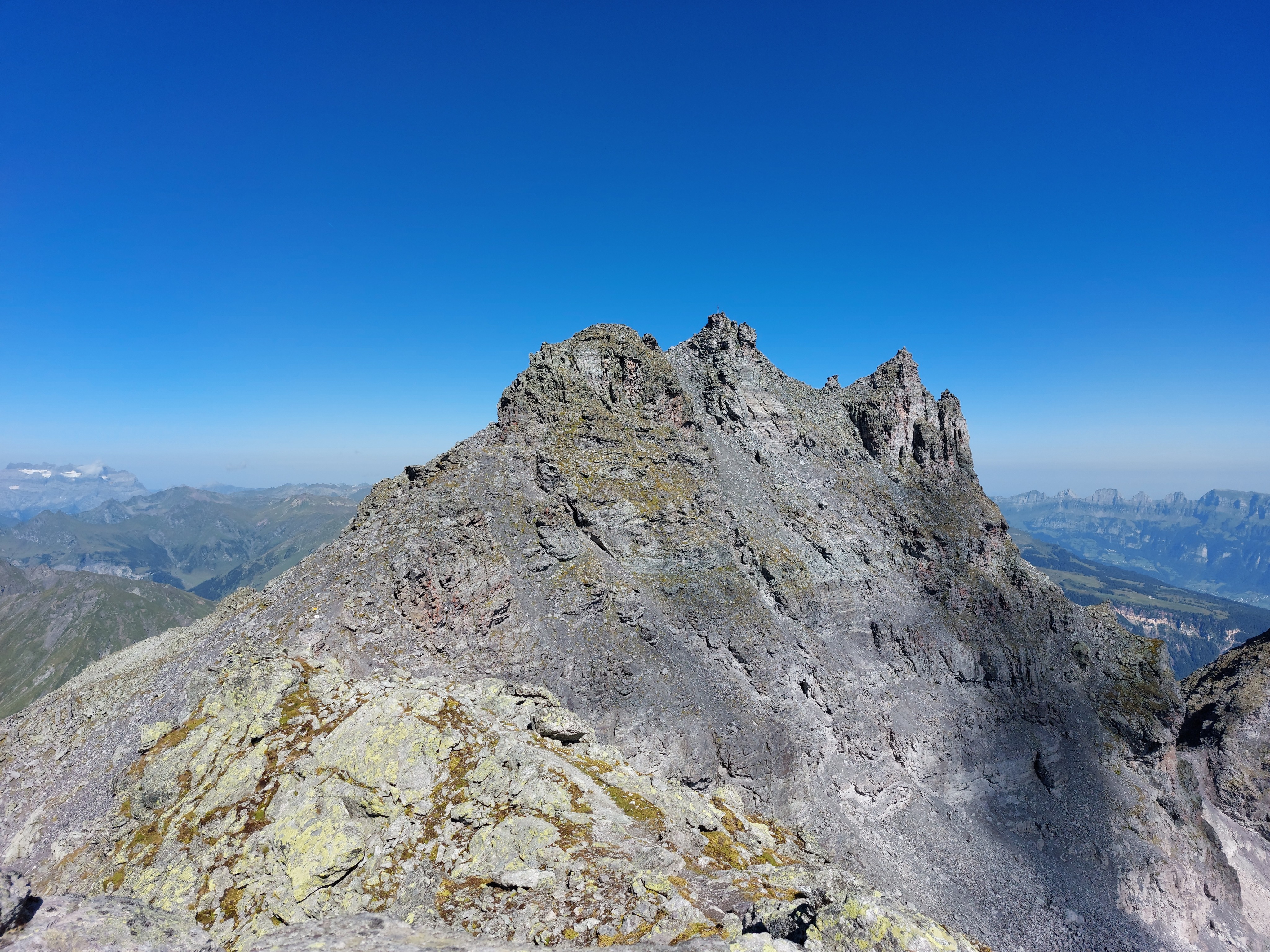
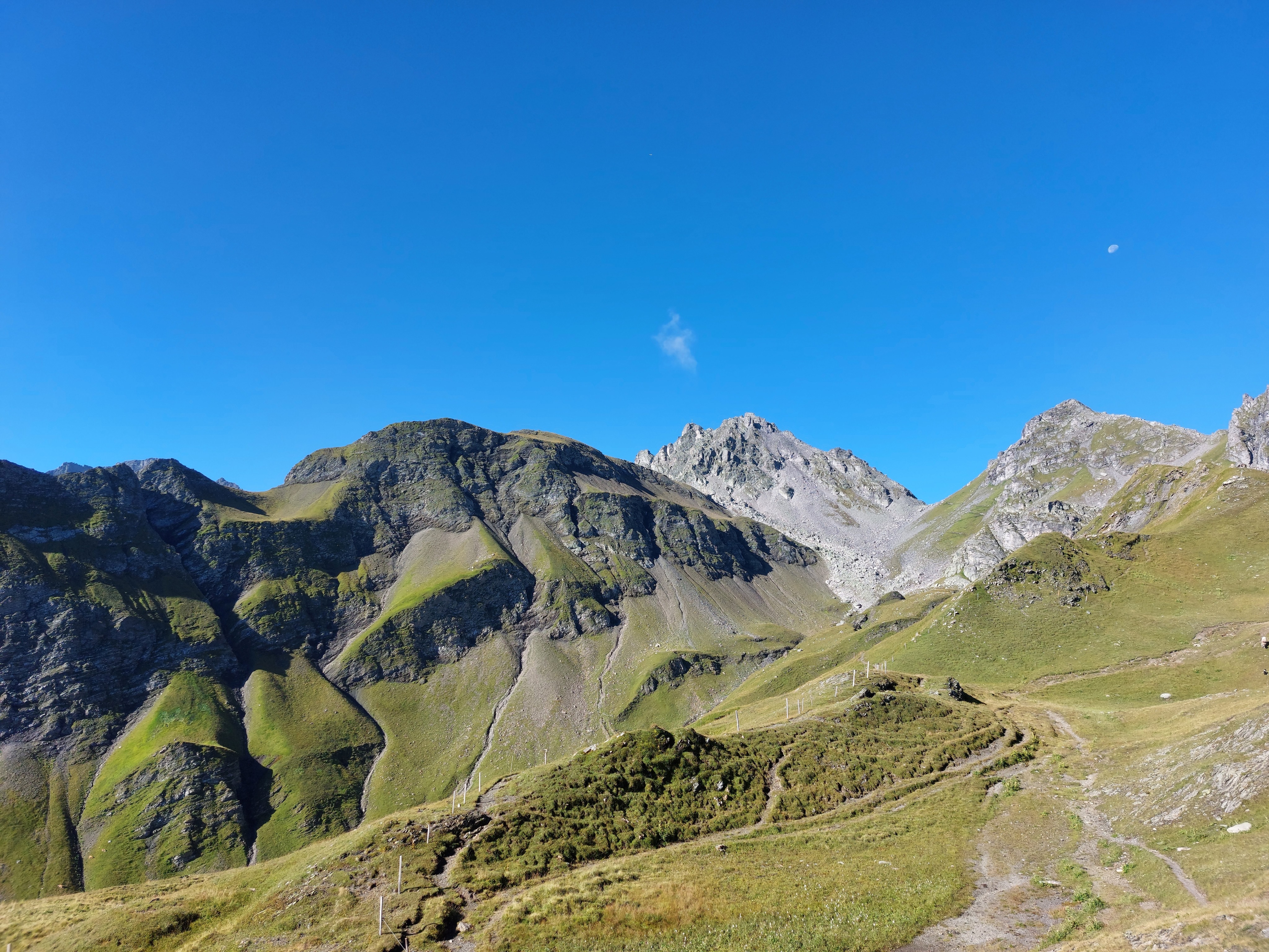
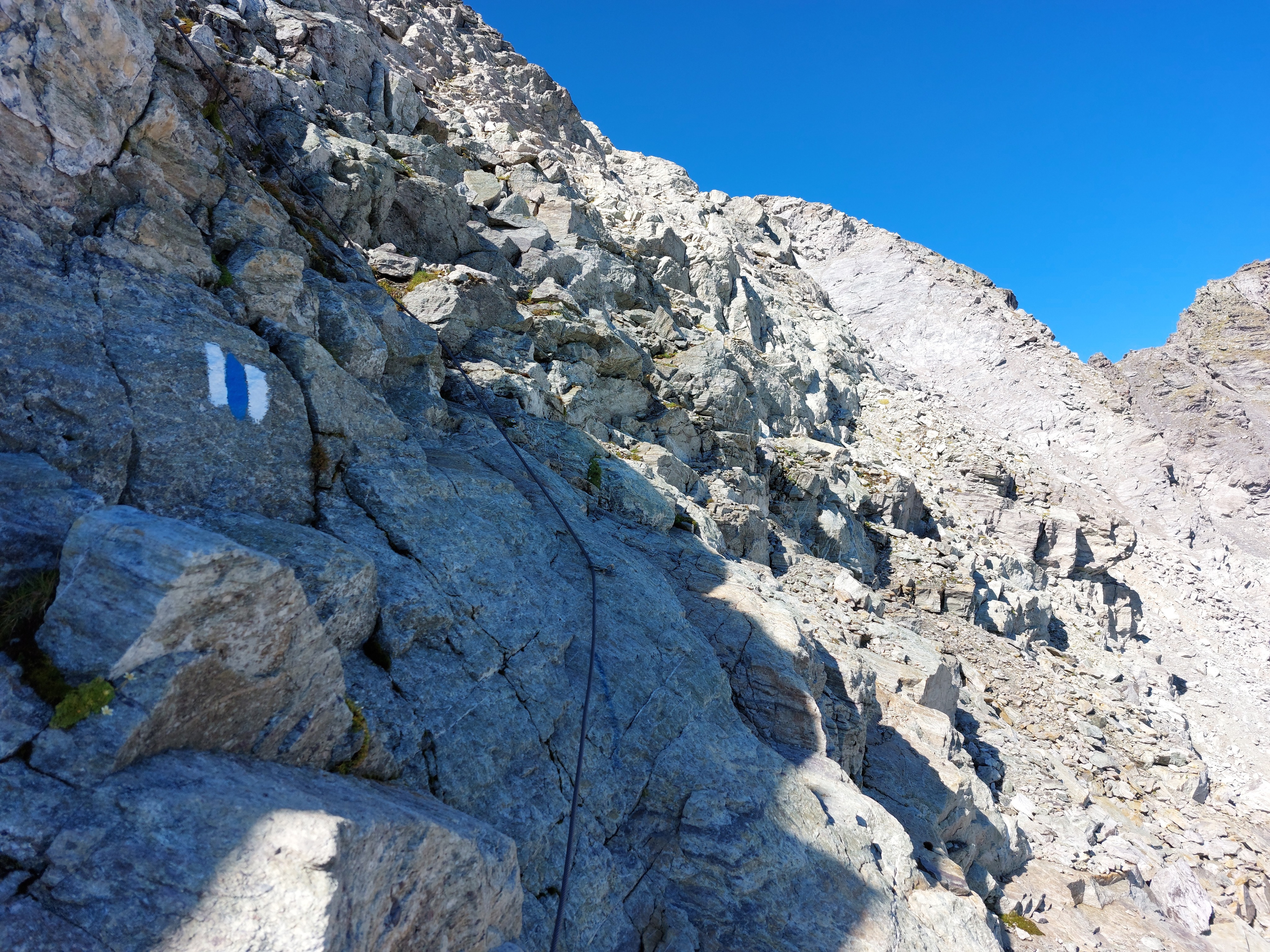
The final stretch to the summit. The trail leads to the left of the mountain and comes up behind it. A little exposed, but plenty of cable.
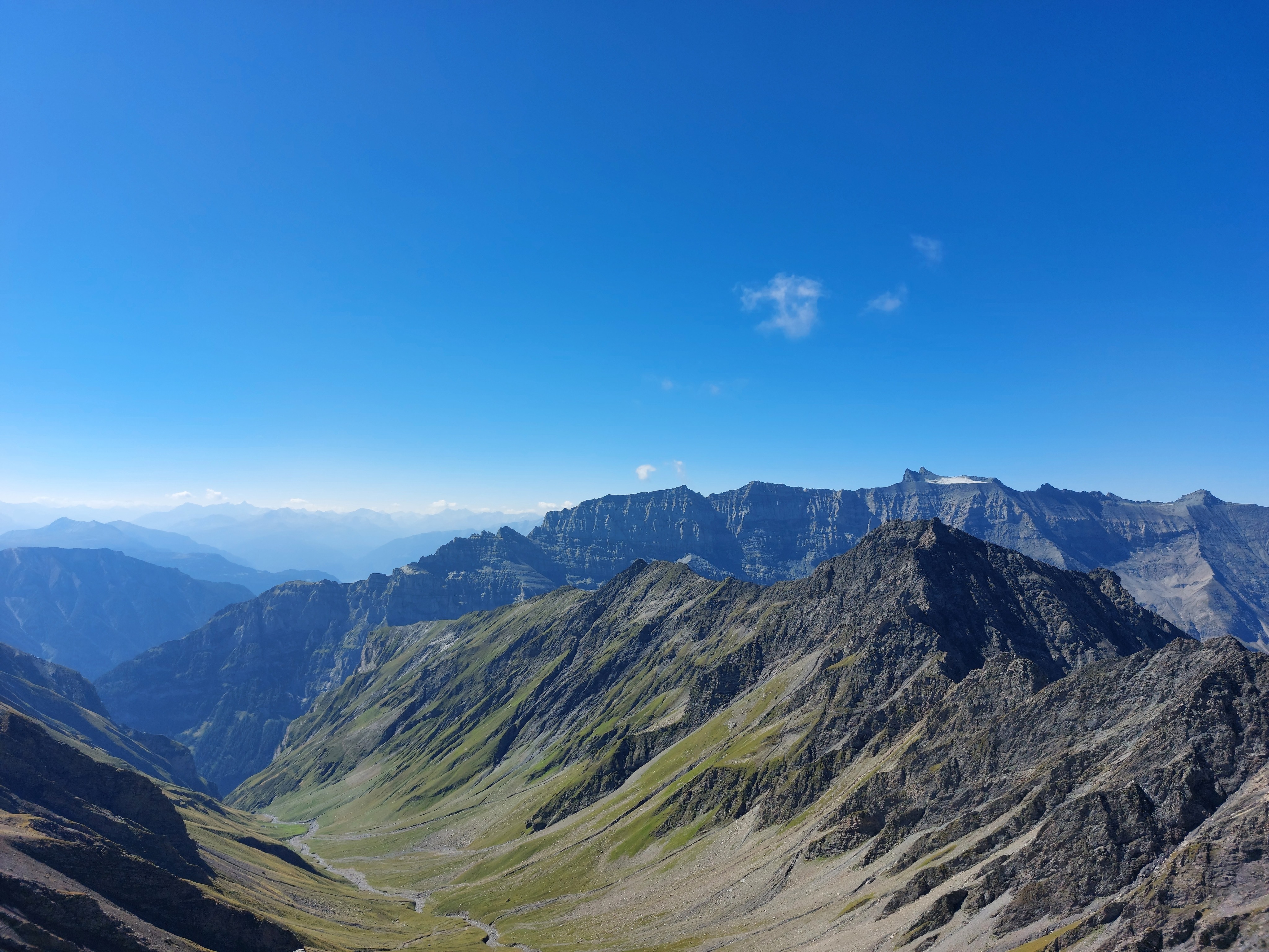
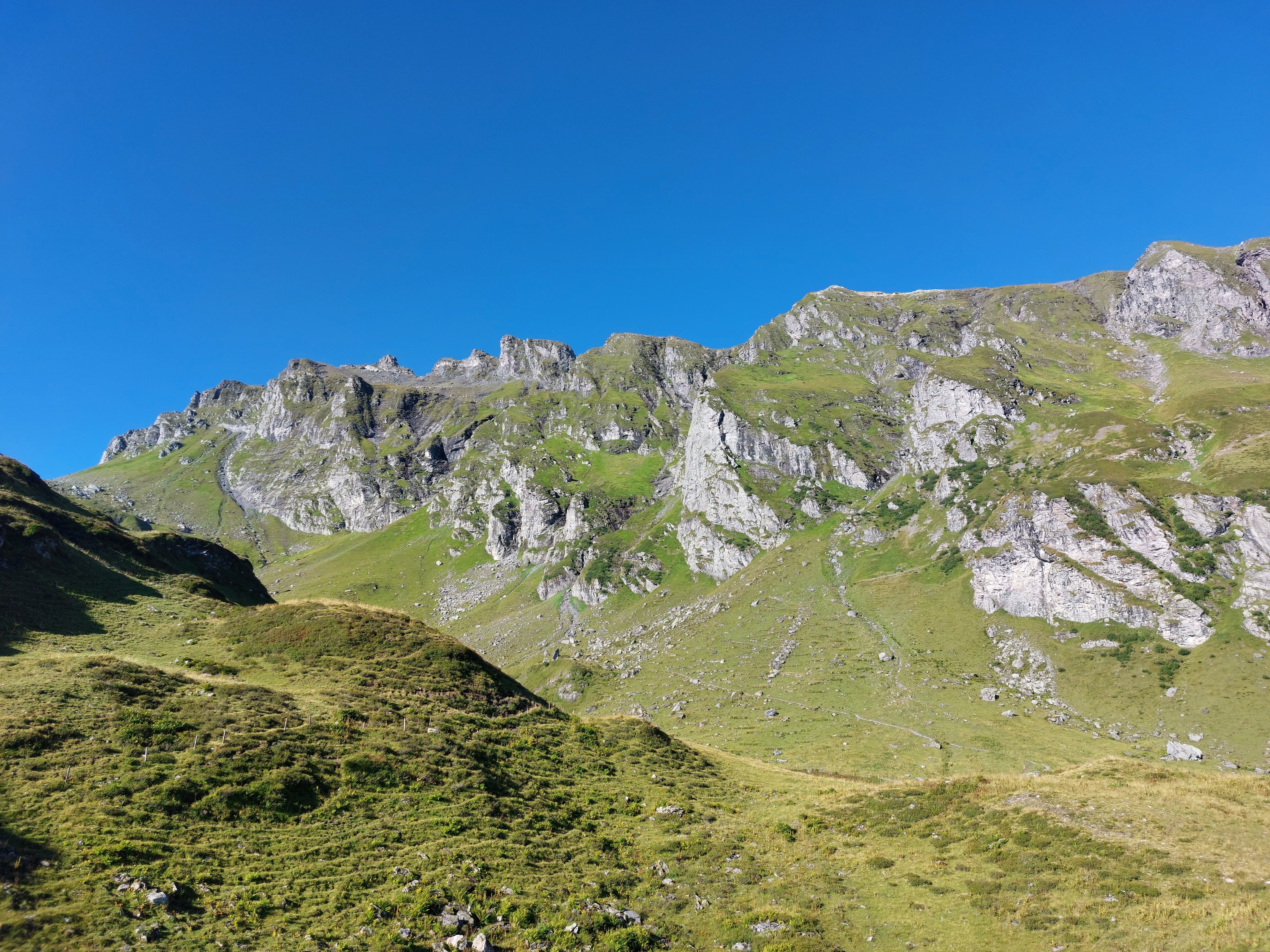
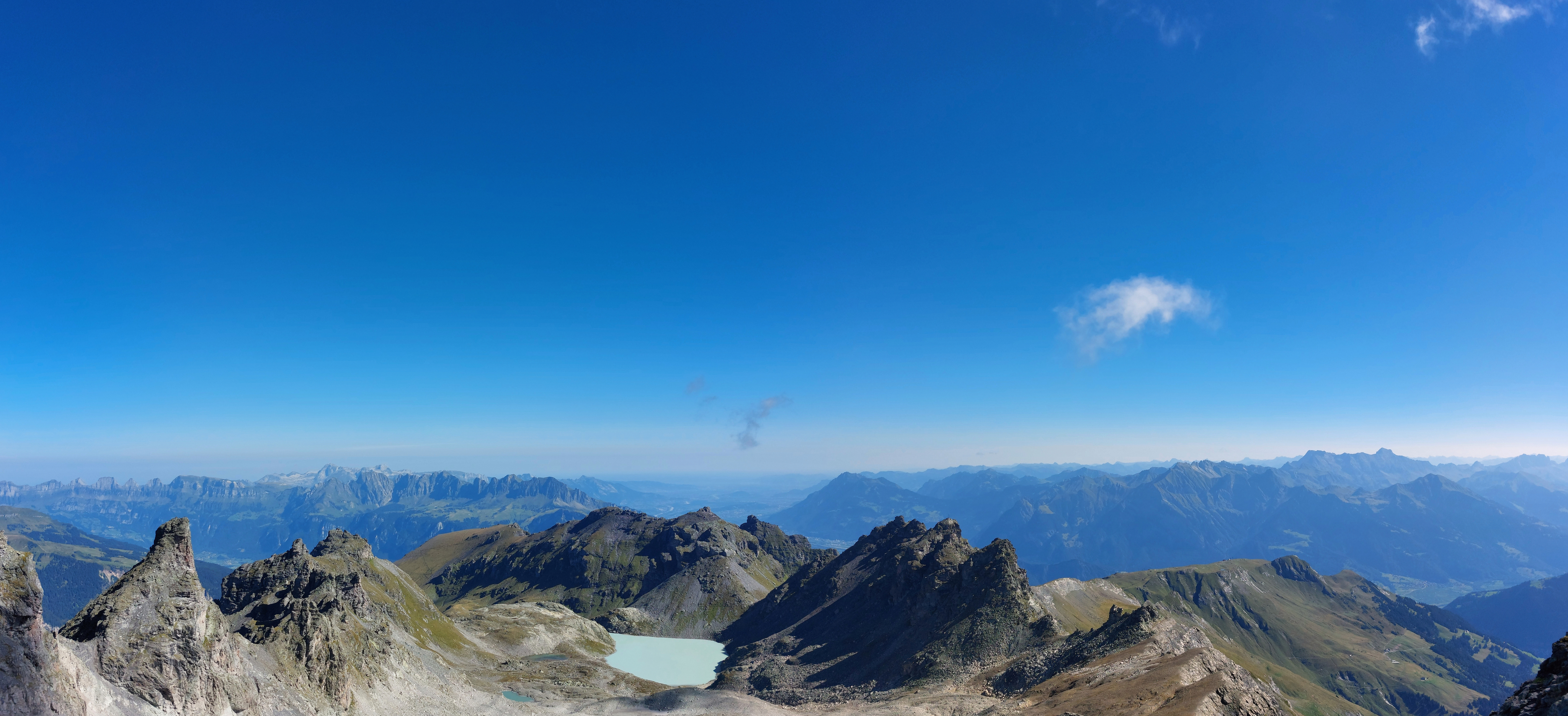
Facing south from the summit of Pizol.
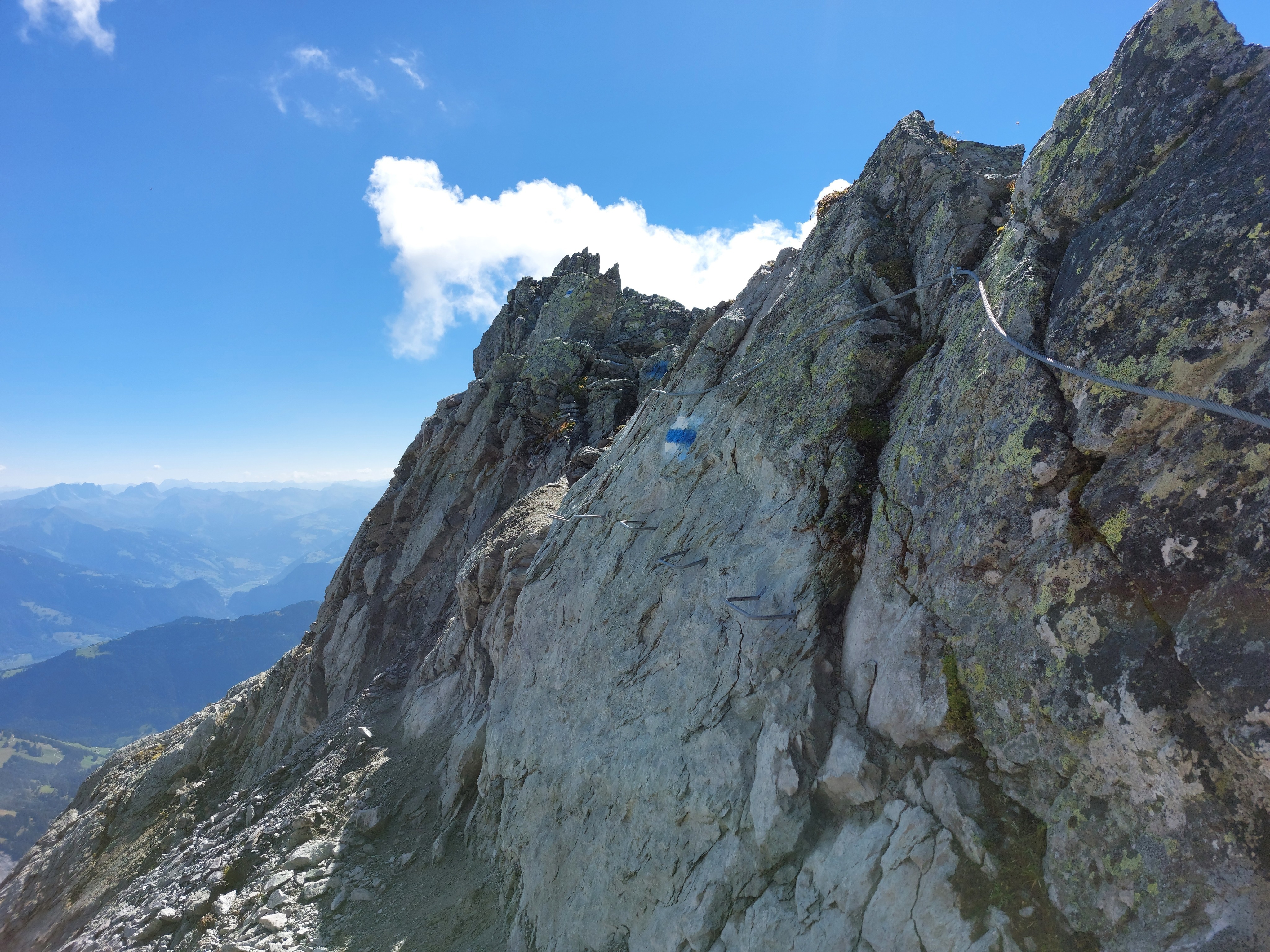
I'm not sure why they put the cable and the footholds, especially so close to the cable.
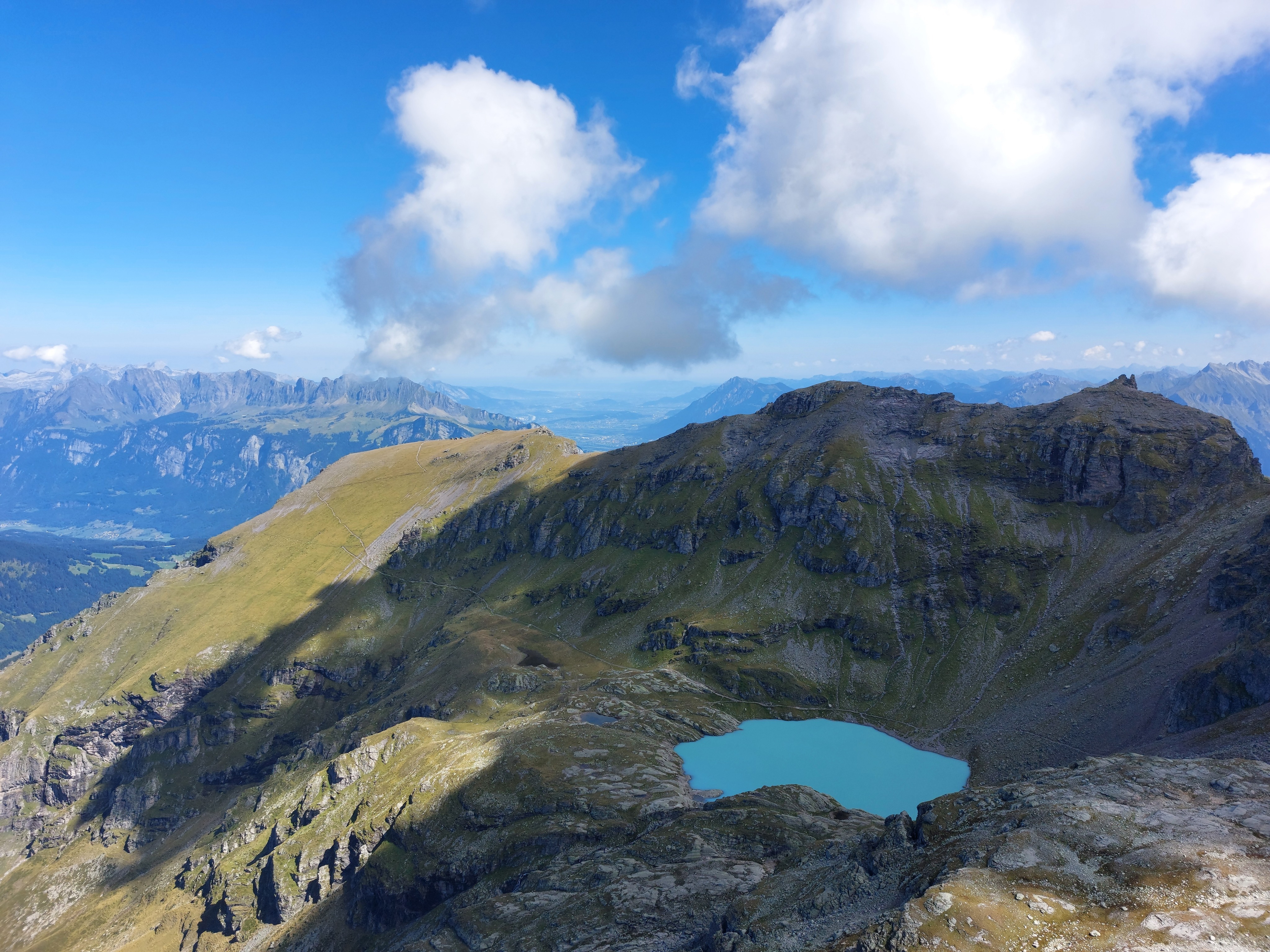
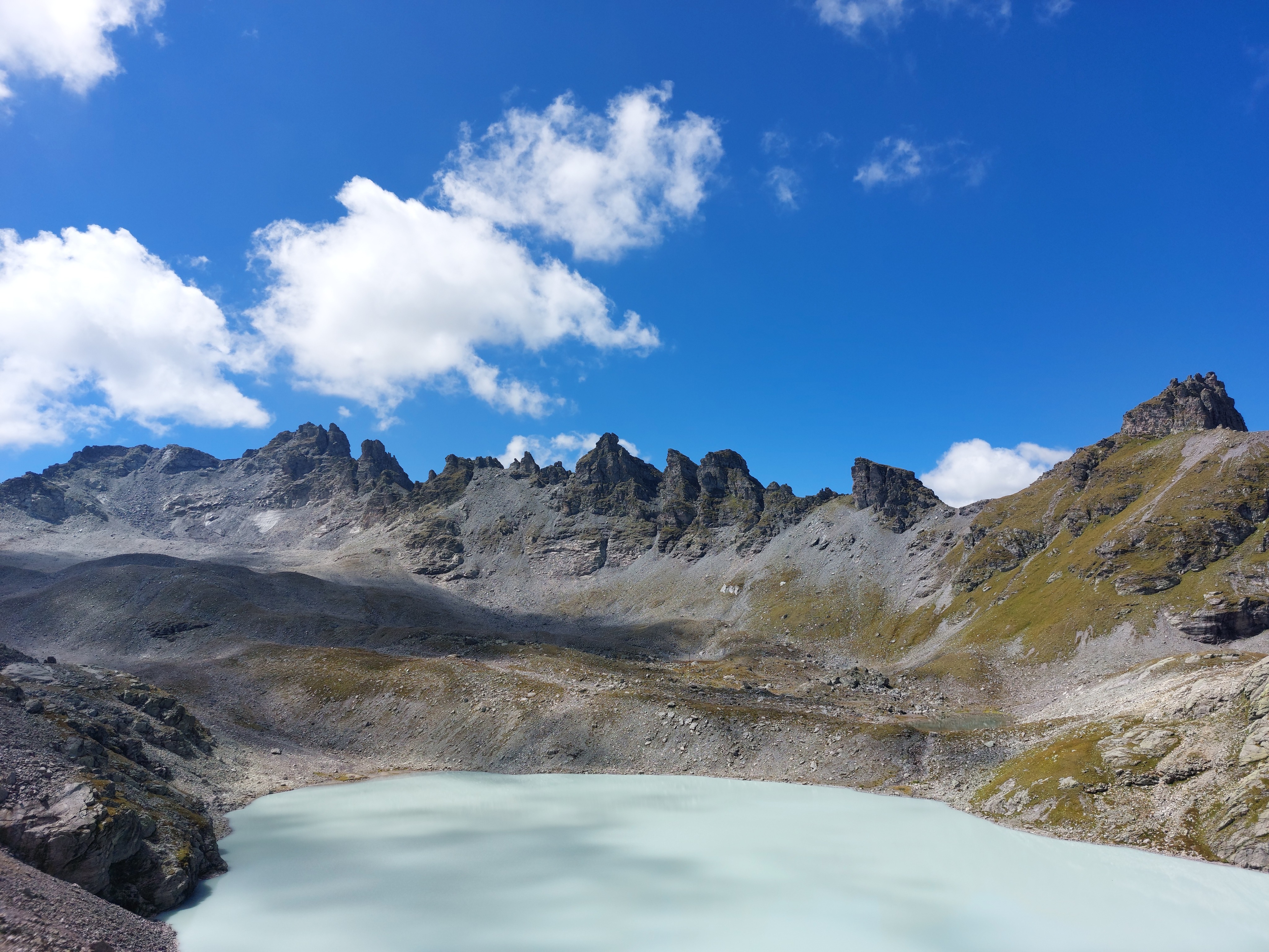
Schottensee as seen from atop Hochwart.
Flipping it around, Hochwart as seen from Schottensee. While the way up Pizol was pretty isolated (well, at least if taking the first possible cable-car up in the morning), the 5-lakes hike was much more populated.
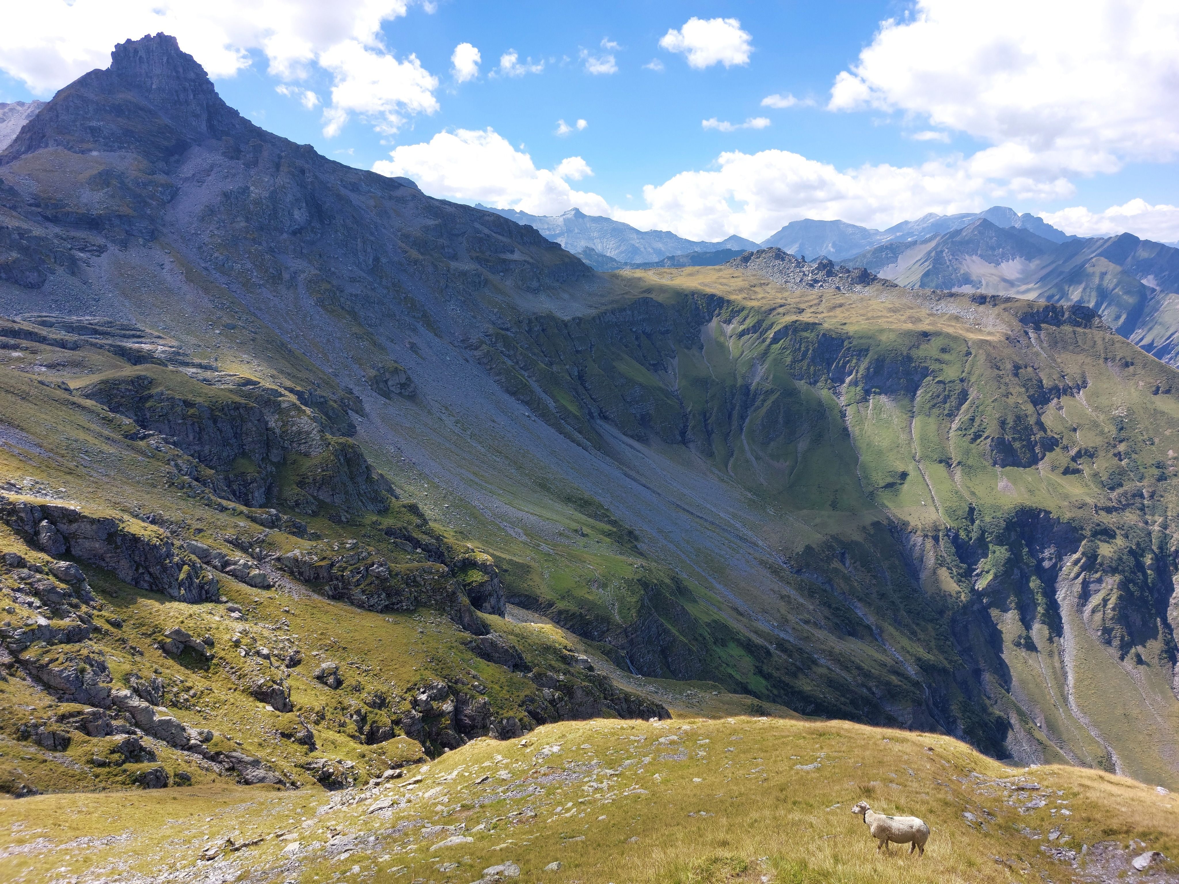
Another view of Hochwart, this time with a sheep!
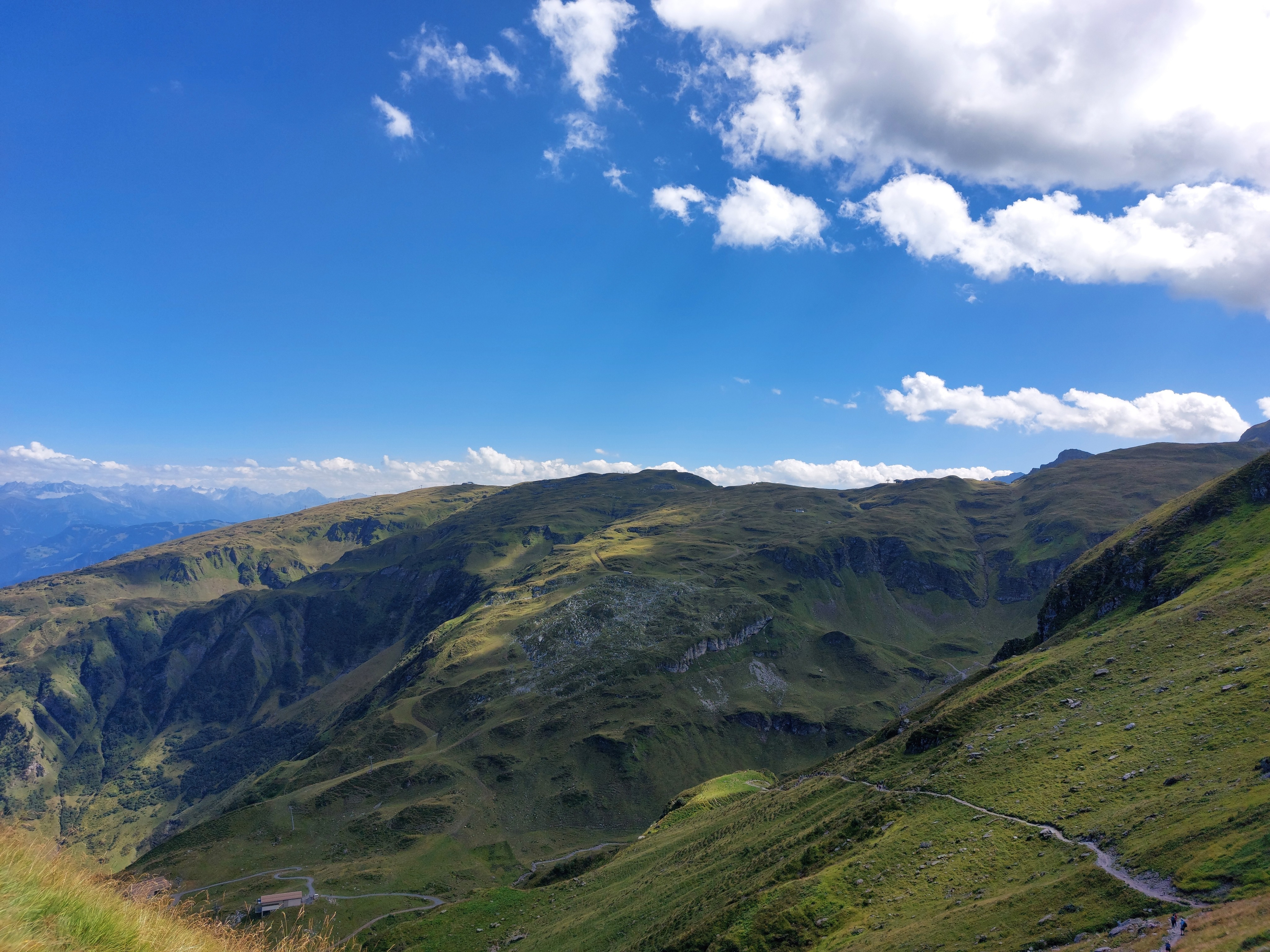
The other lakes weren't as picturesque, so no images of them. The route ends coming down to the cable car station below Pizolhütte.