Chäserrugg
Seeing this mountain from Säntis a few times, I figured it was finally time to give it a shot. I took a van (small town public transit can be strange sometimes) from Walenstadt partway up the hill to Walenstadt, Stauffacher. From there, it was two hours of straight uphill through first trees, then steep hills to the summit. The view from the top was pretty spectacular, offering an unobstructed view of the Alpstein massif to the north and whatever mountains are in every other direction.
I tried running back down, first east the Sattel, then south and down once at Nideri. The first chunk was a lot of fun to run, minus one minor tumble; I may have overestimated my knees endurance though, and had to take it easy for the last hour on the descent.
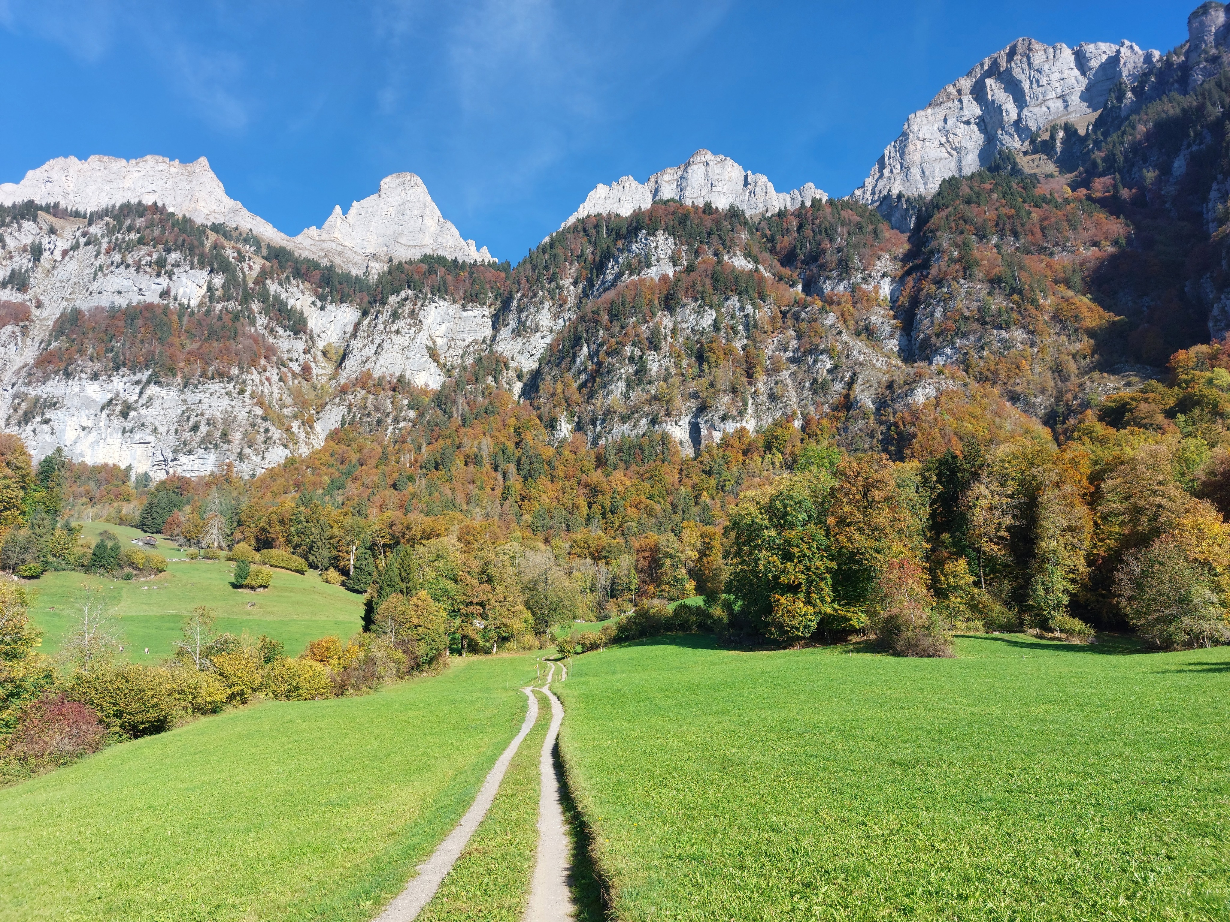
The view near the start at Walenstadt, Stauffacher.
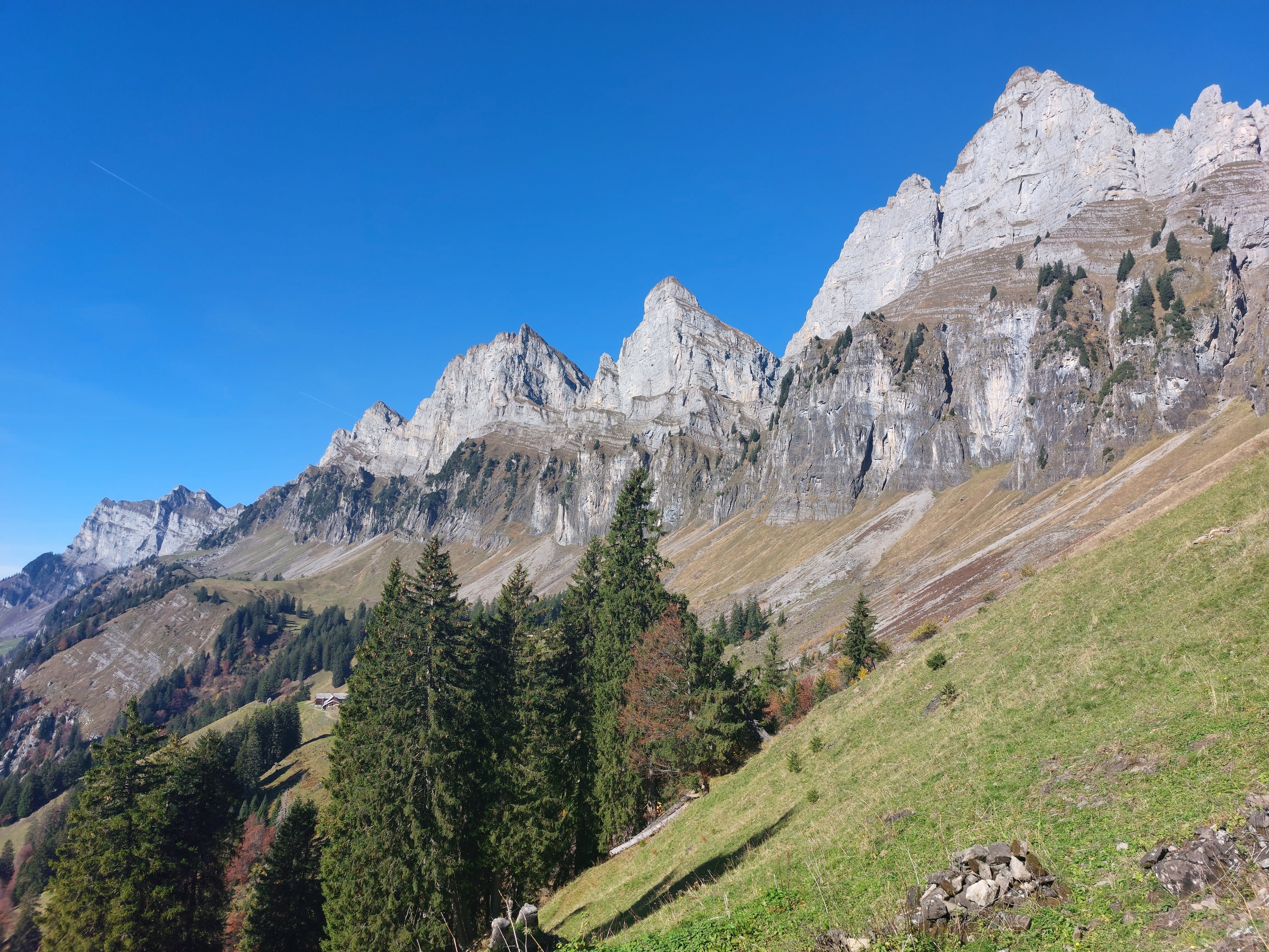
After switchbacking up through the trees, above the treeline.
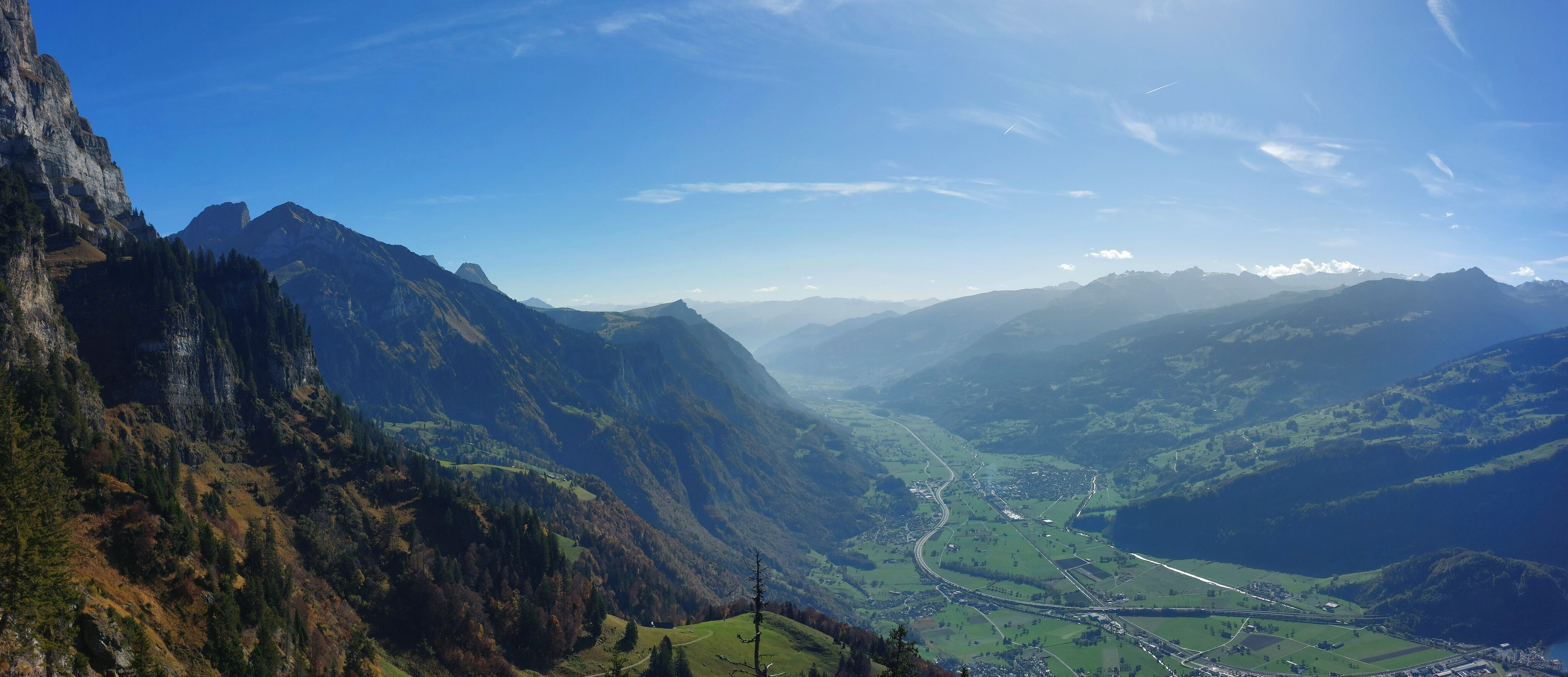
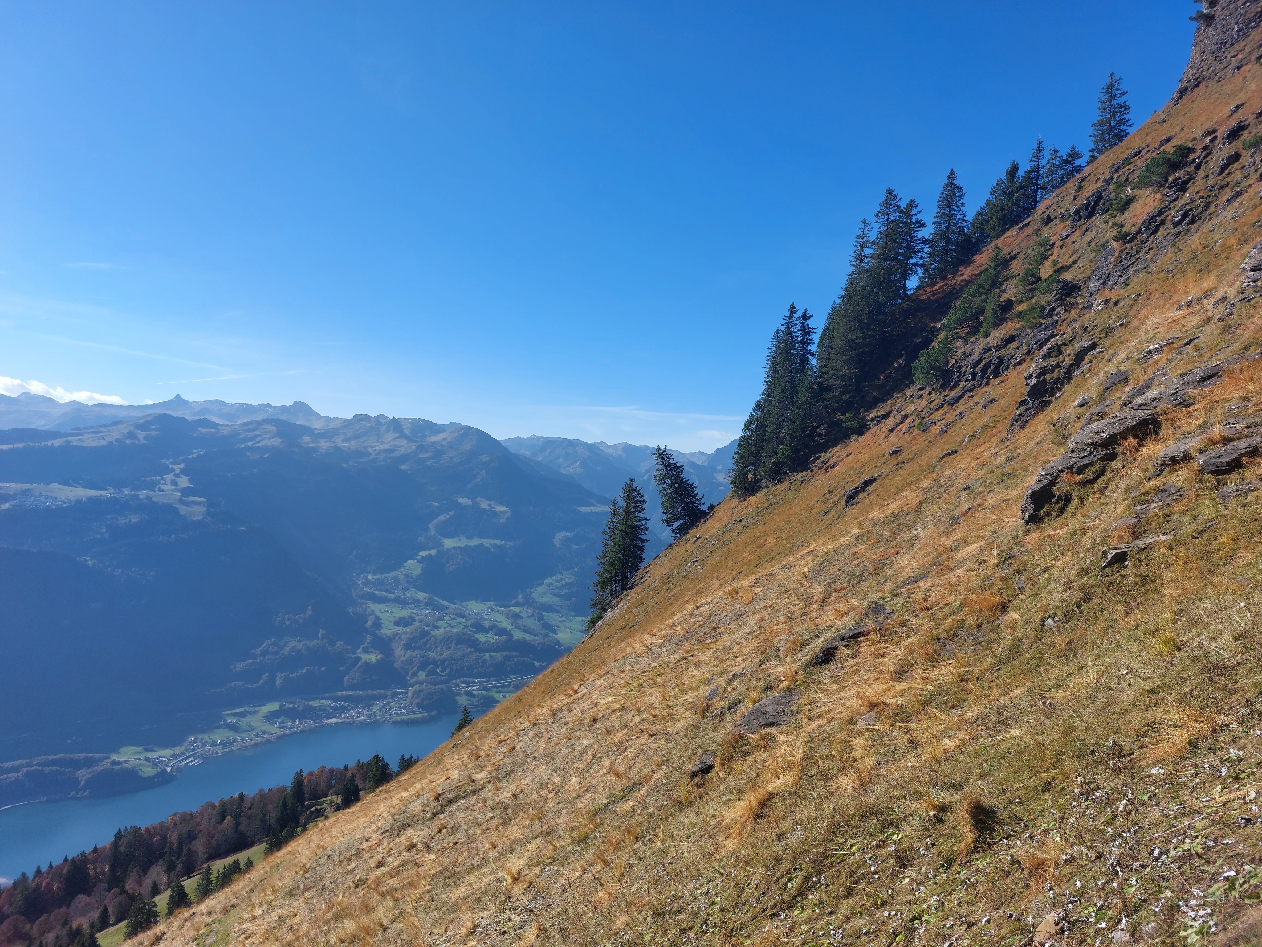
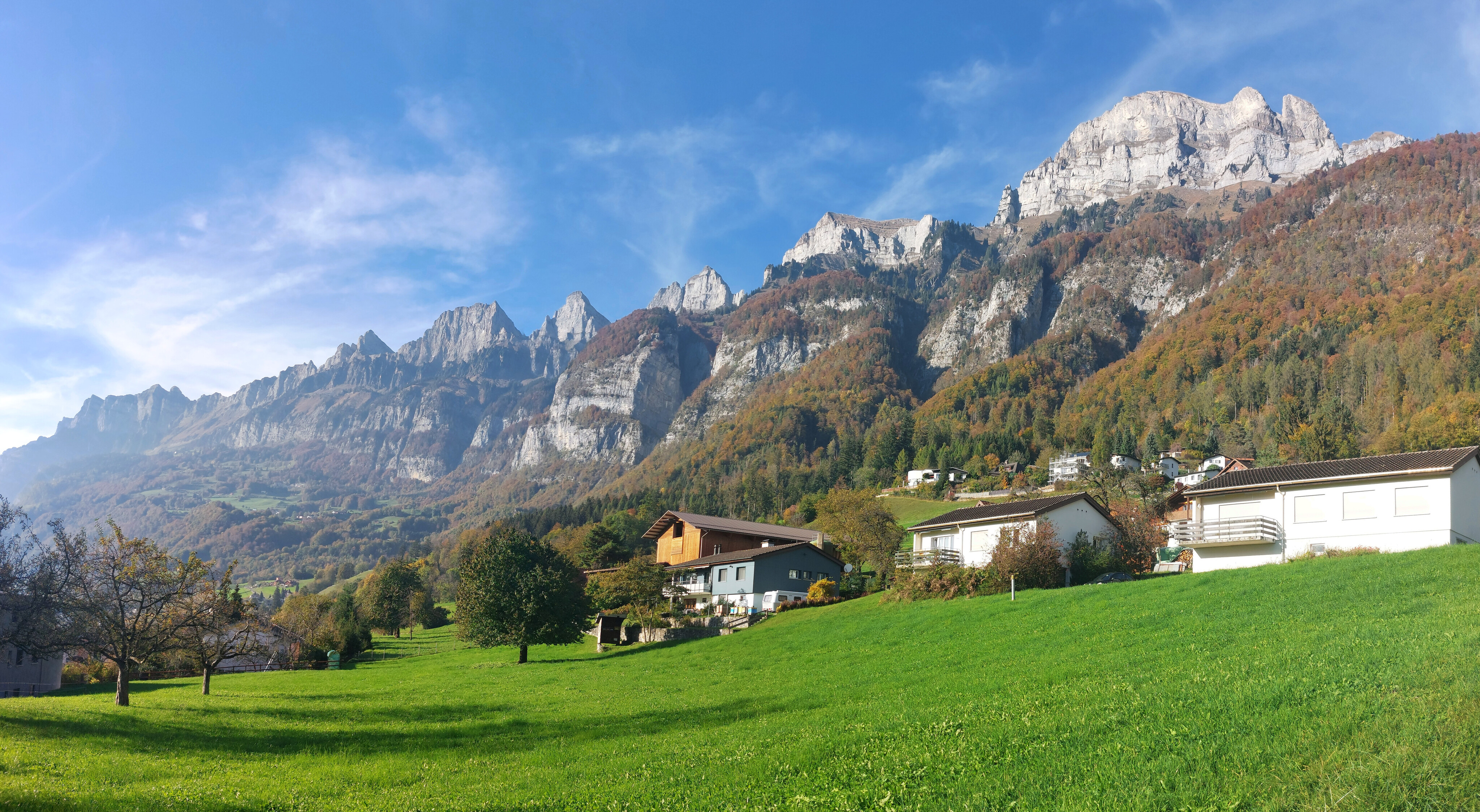
The town of Flums and beyond it just out of sight, Sargans, the starting point for the Pizol hike, as seen from partway up.
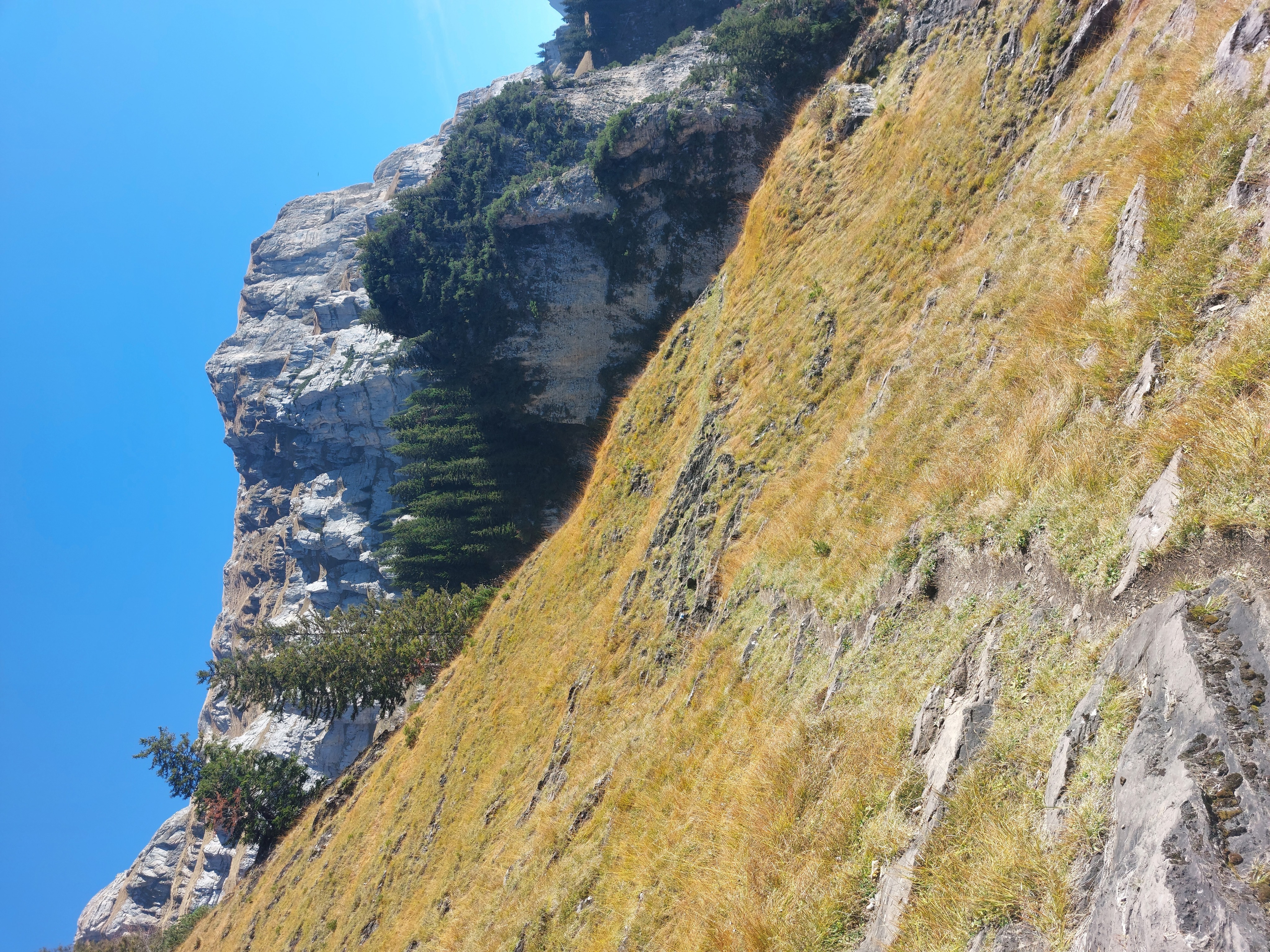
The trail turned to dead-ish grass higher up.
I'm not sure why that tree decided to be perpendicular to the hill instead of in-line with gravity.
After slowly gaining elevation inching up the hill, switchbacks up this corridor thingy.
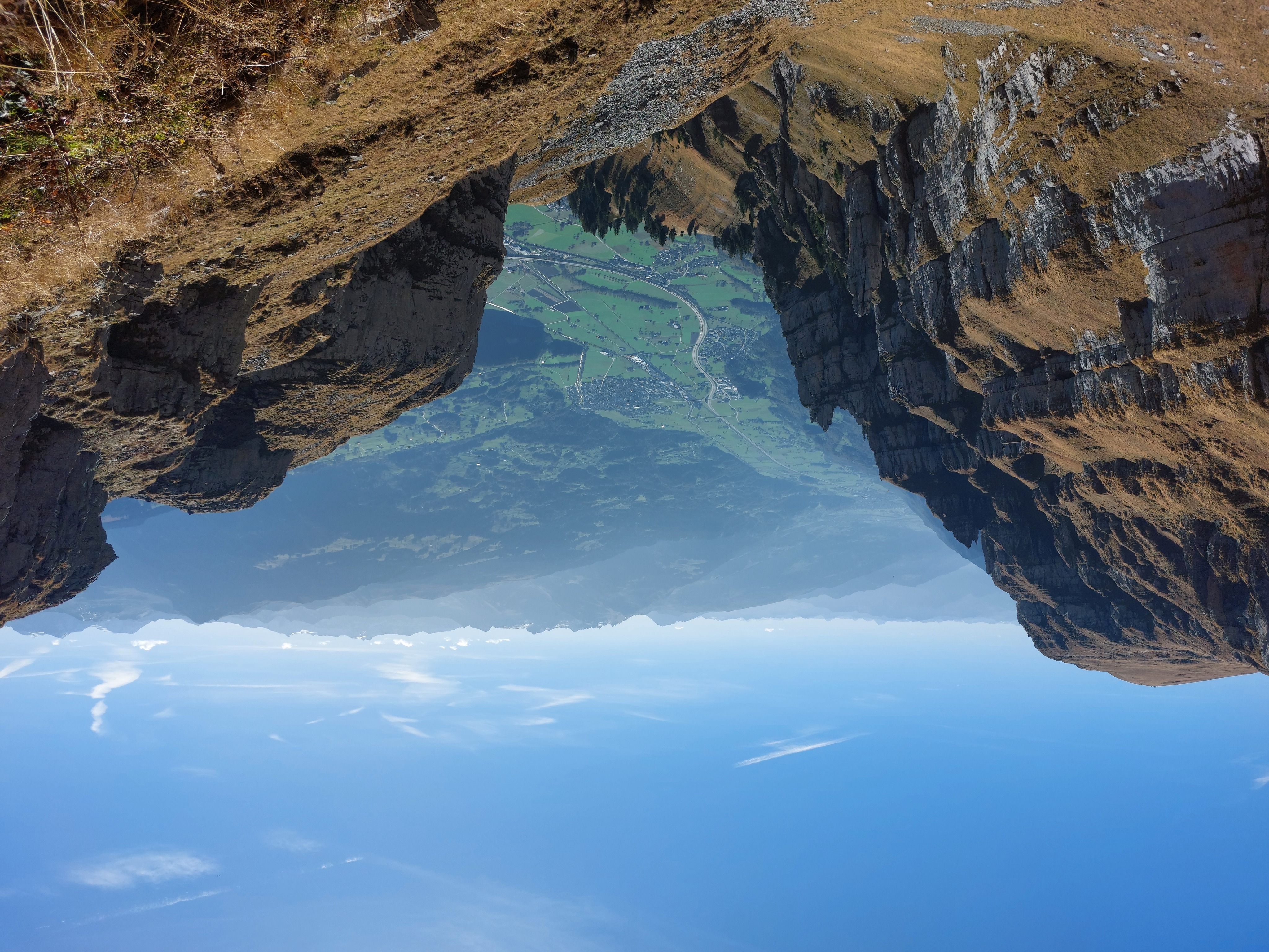
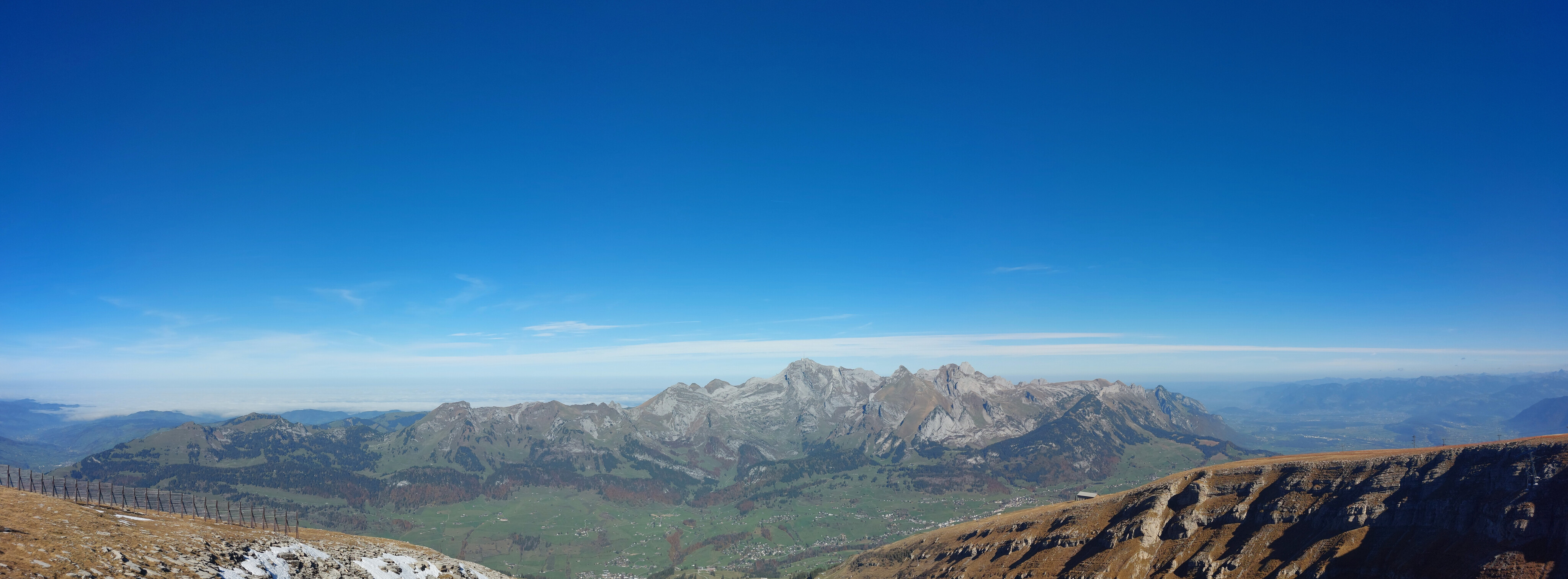
Summit view looking towards Flums, Sargans, and on the right, Pizol.
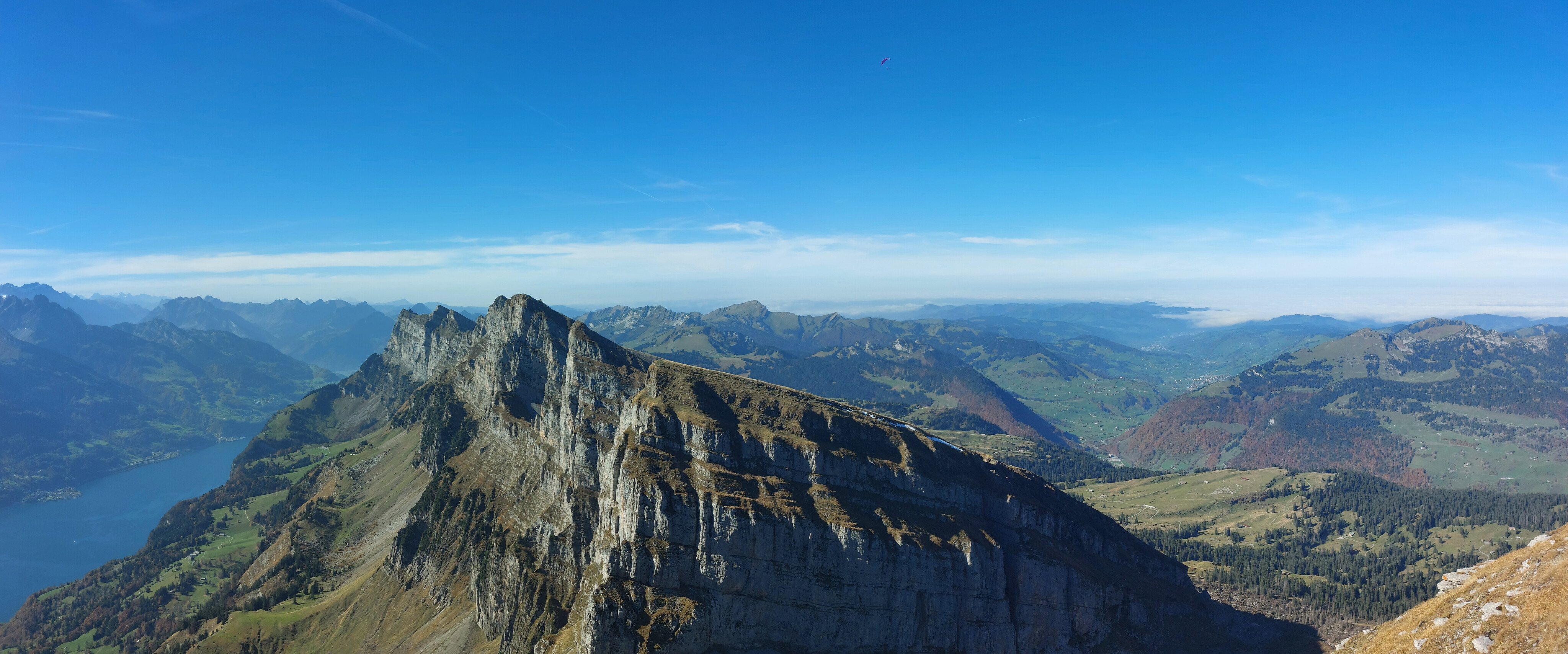
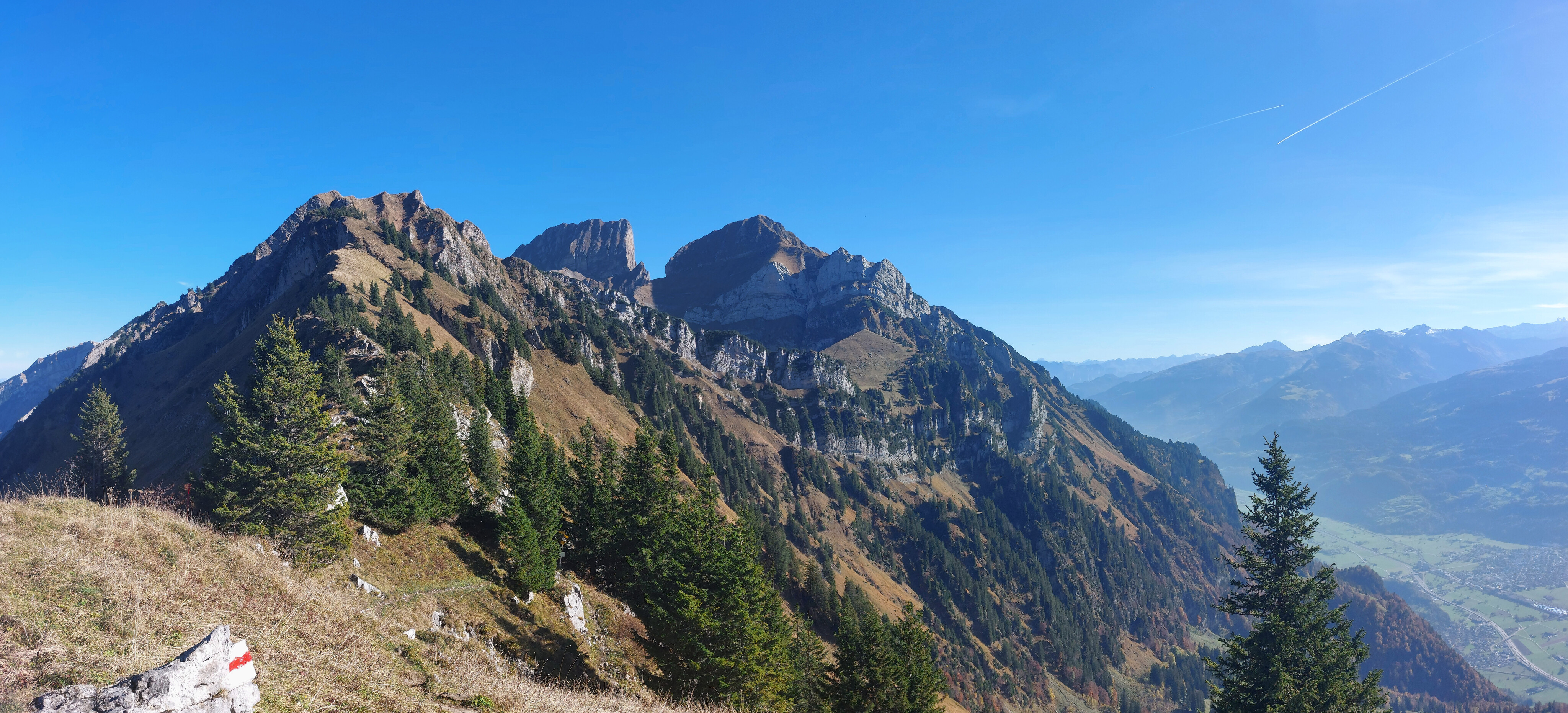
Looking west towards the other glacier-carved mountains, Federispitz visible to their right, with Rigi and Pilatus visible at the very back on the left.
Facing North-ish, the Alplstein Massif in its entirety. Säntis has the tiny (from here) tower on its summit. The right-most ridge hides Säxerlücke, which I hiked in November 2022.
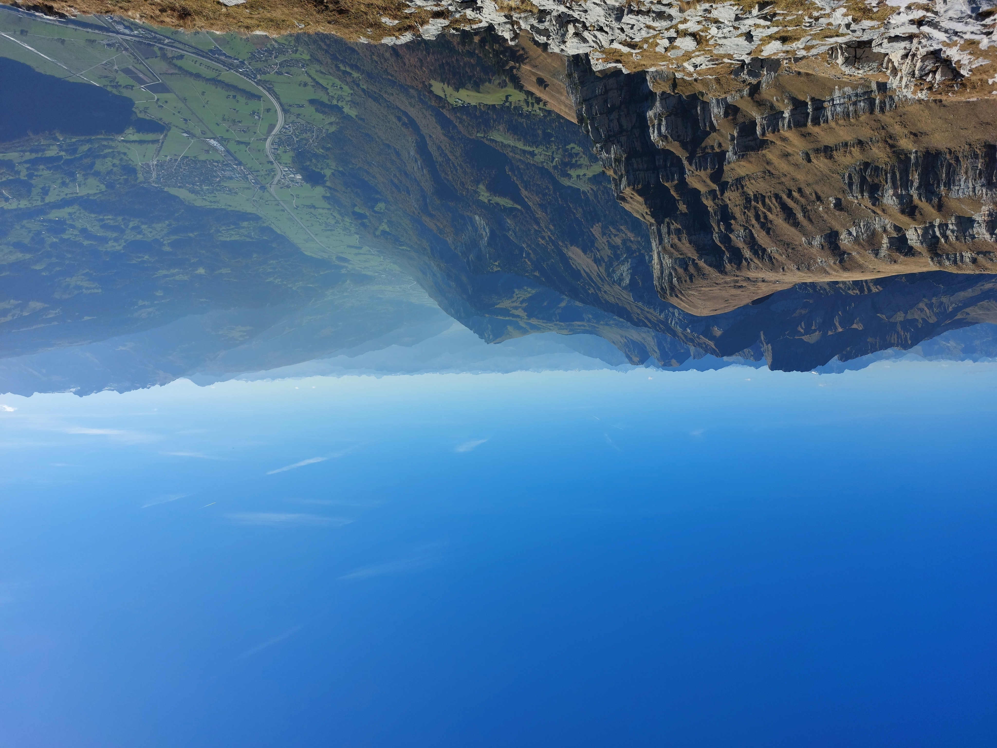
Looking east, the flatter section in front being the way down to Sattel, then the Nideri saddle, visible on the right.
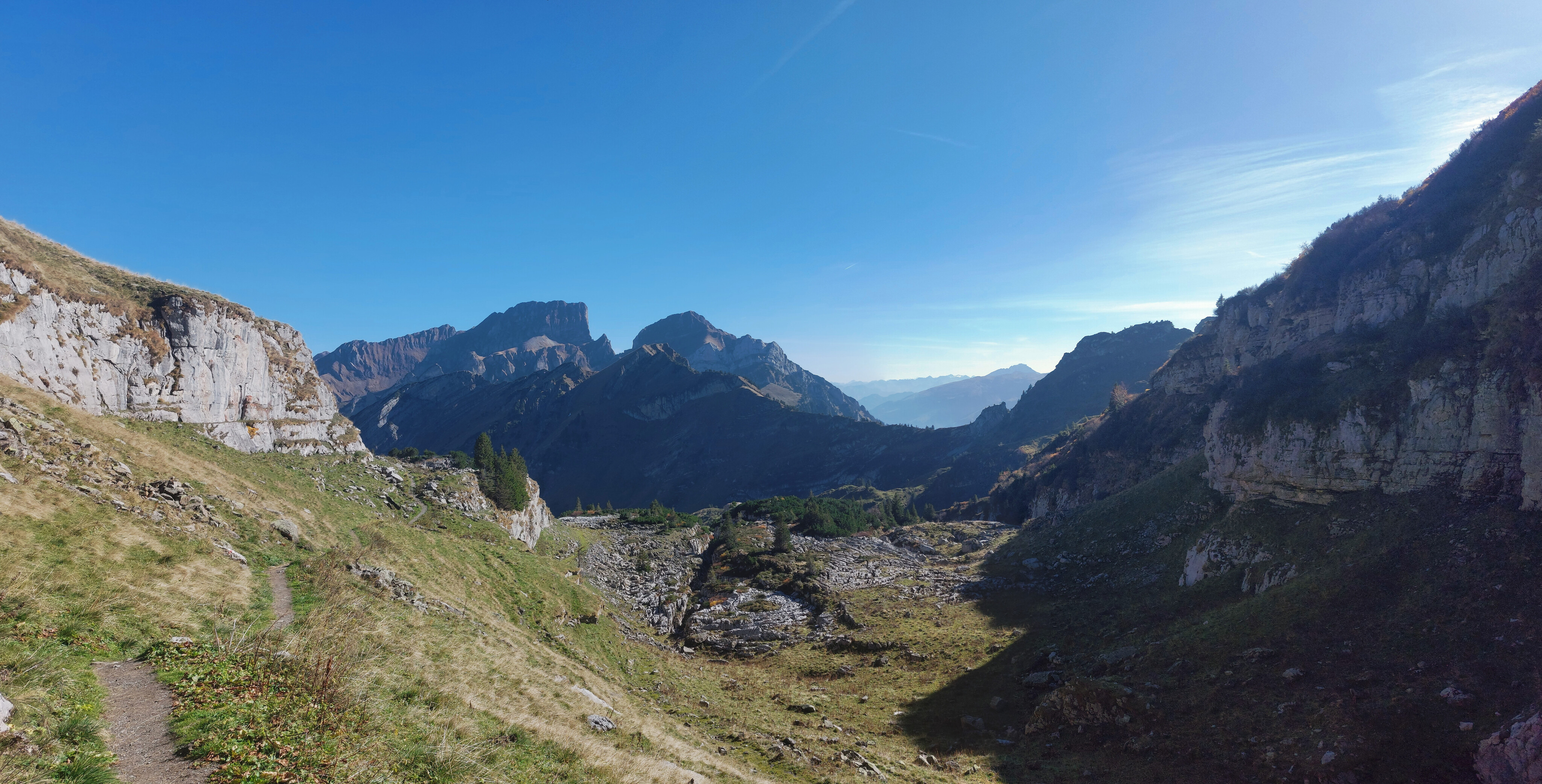
Just past Sattel and facing Nideri. This section made for decent running.
Nideri saddle; it was pretty much a straight descent back to town, so no more running.
Back in town.