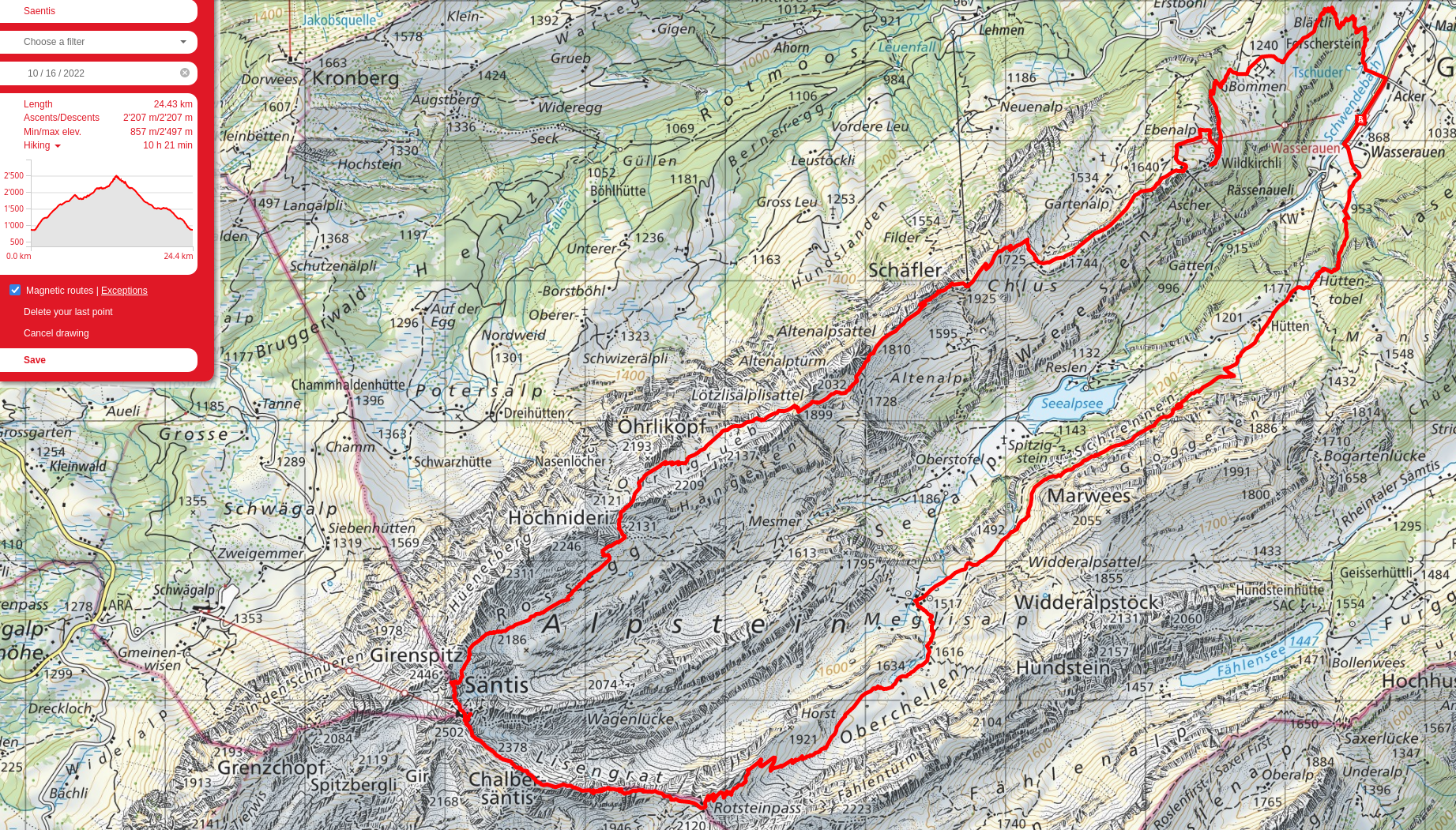
Säntis, round 4
Okay, so I may have a problem. Someone I did this hike with in October of 2021 reached out to me about doing Säntis again; they had never hiked before at the time, and so had to take the cable-car down from the summit. This time, we did the full loop, starting at Wasserauen and hiking up to Ebenalp, then to Säntis, and finally back down the other side of the bowl to Wasserauen. It took about 10h30min, which is still quite a bit less than the estimates on the signs, so they definitely improved! We were moving at a solid pace, until we left Säntis and started going across the ridge towards Fliskopf. It’s pretty exposed, with a steep drop on one side, but this is mitigated by a cable to hold onto while walking along. Säntis is high enough, though, that snow isn’t melting anymore, and the trail was covered with two to three feet of snow, meaning the cable was actually below us. On top of that, it was early afternoon, and so it was partially thawed and slippery. In hindsight, it was stupid crossing that whole section between Säntis and Fliskopf, one slip would have killed us. We made to the Rotsteinpass in the end, then made our way back to Wasserauen to run and catch a once-an-hour bus with not a minute to spare.
I really enjoy this mountain range. There’s quite the diversity in terrain in a very short space, there’s a helluvalot that I still haven’t explored, and the views are absolutely gorgeous. I intend to come back again, but do a different route, perhaps hitting the Faehlensee or starting at Stein SG.
Someone once told me Switzerland goes from green to brown in the fall. Bah, I say!
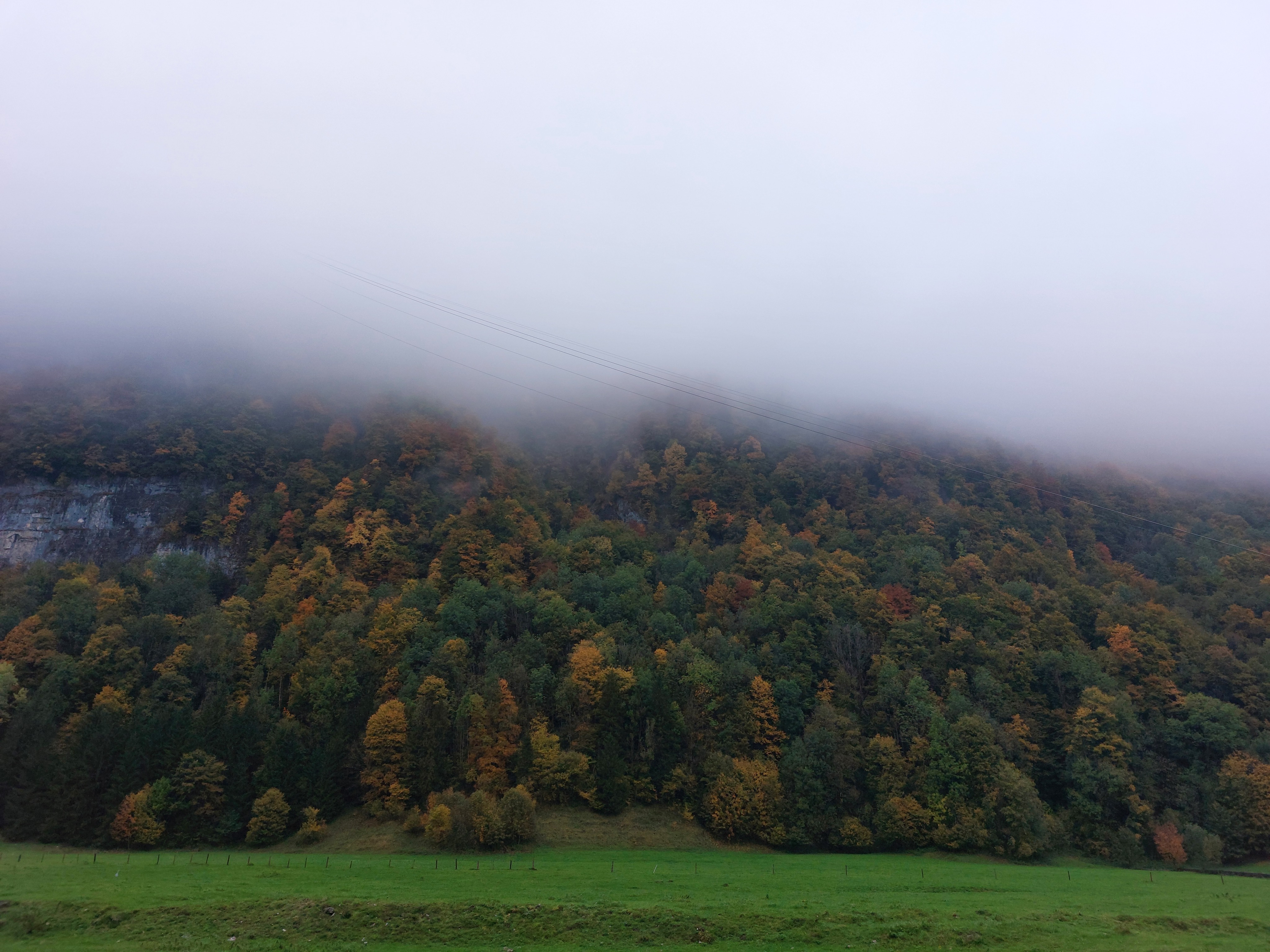
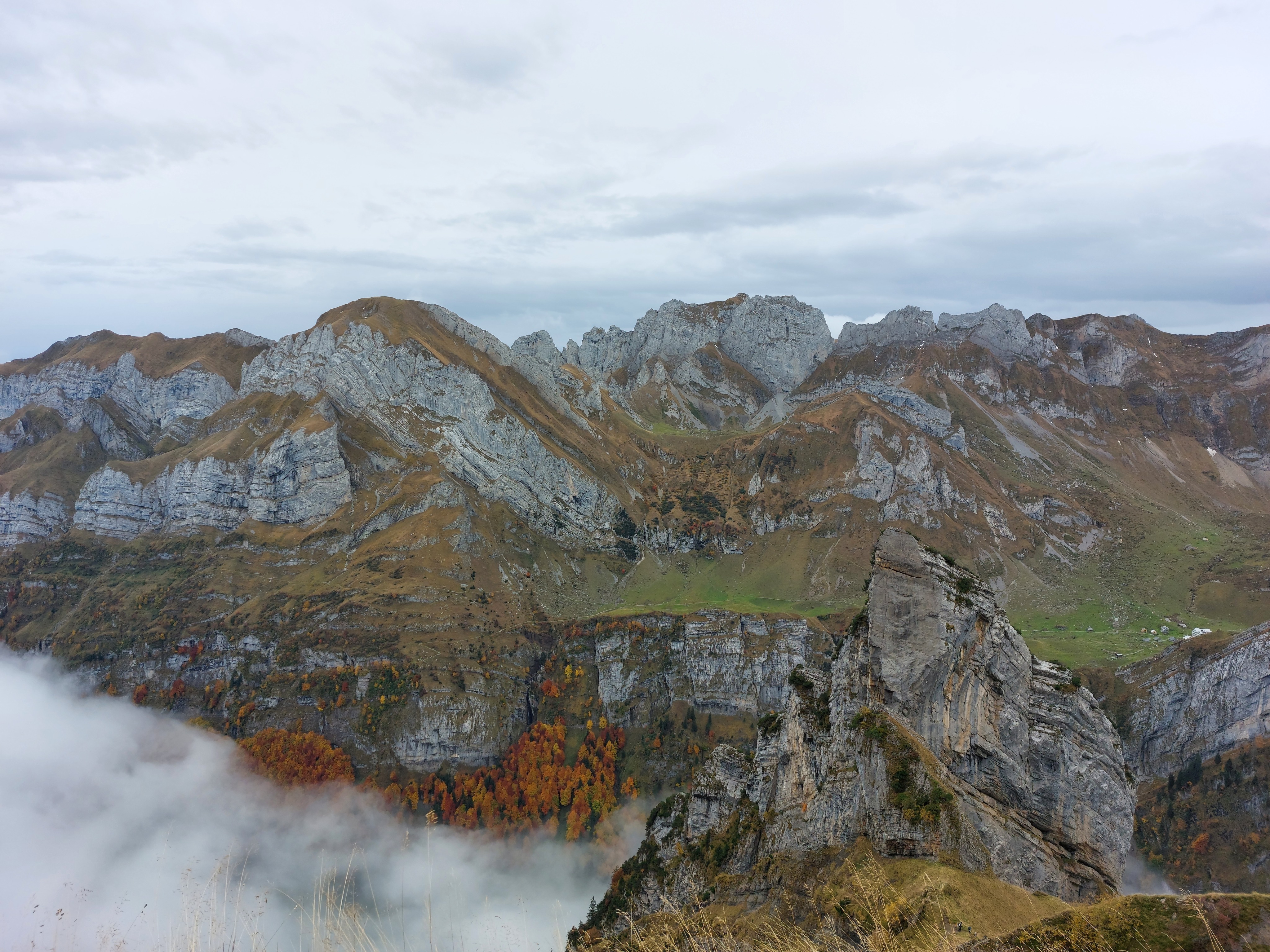
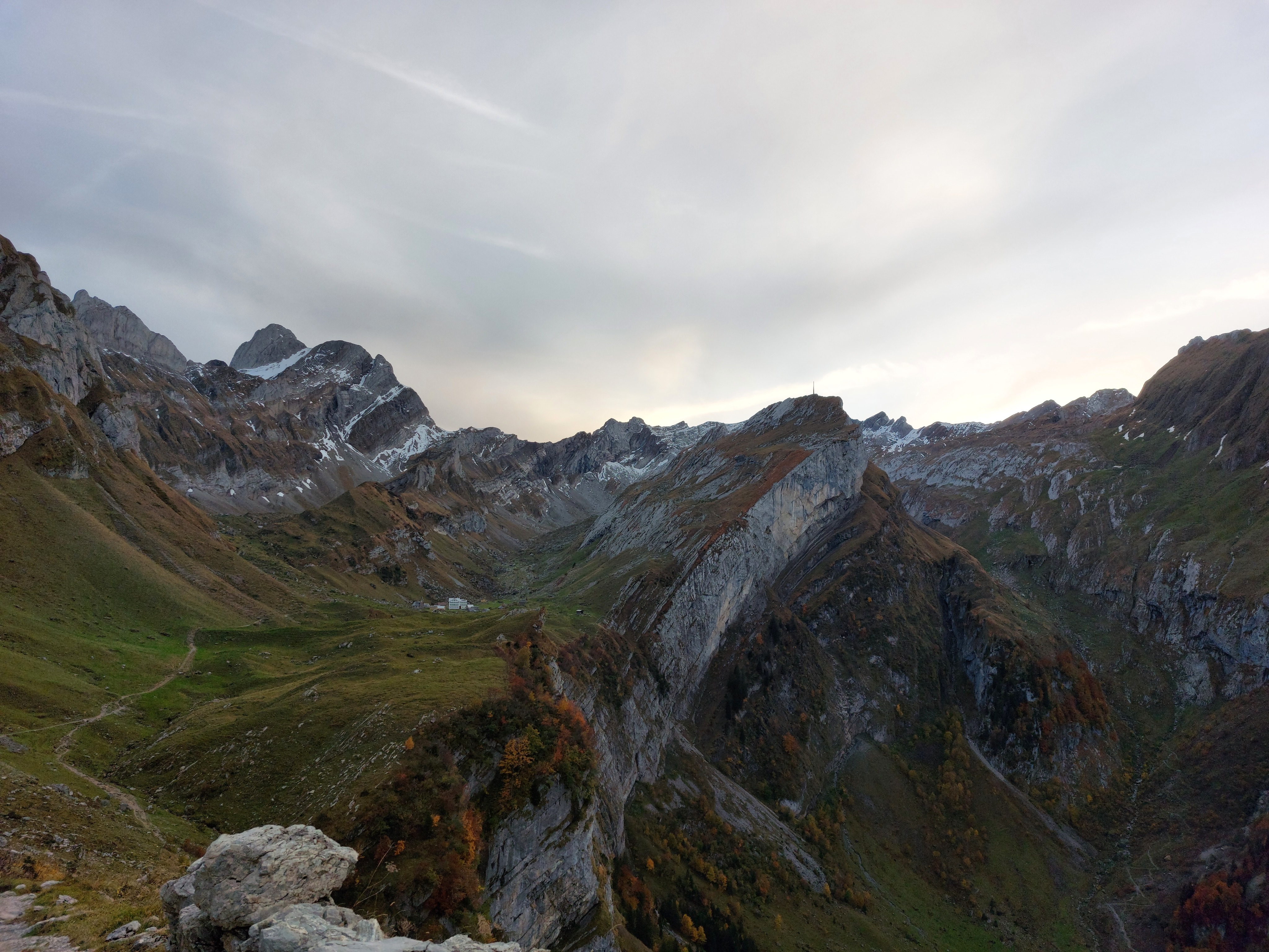
Just past Berggasthaus Schäfler, fall edition.
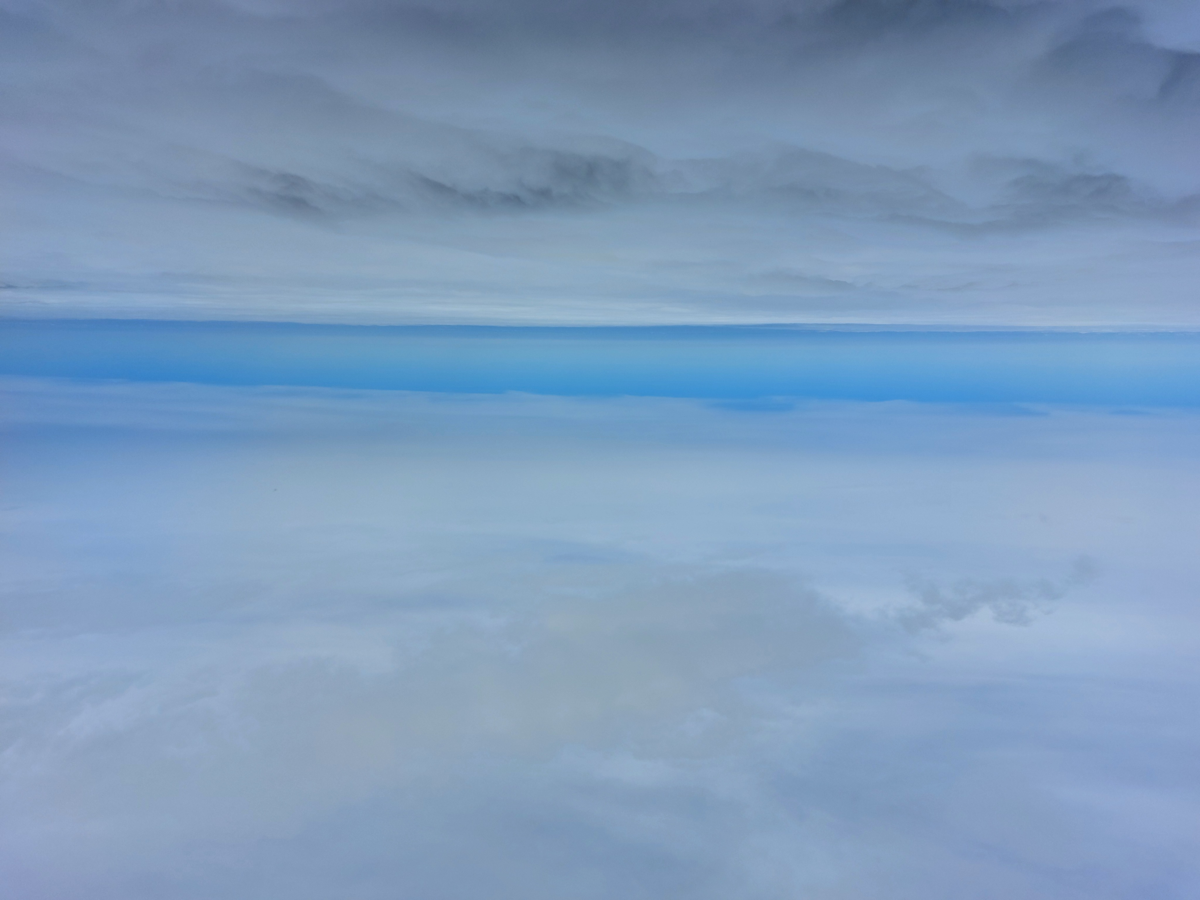
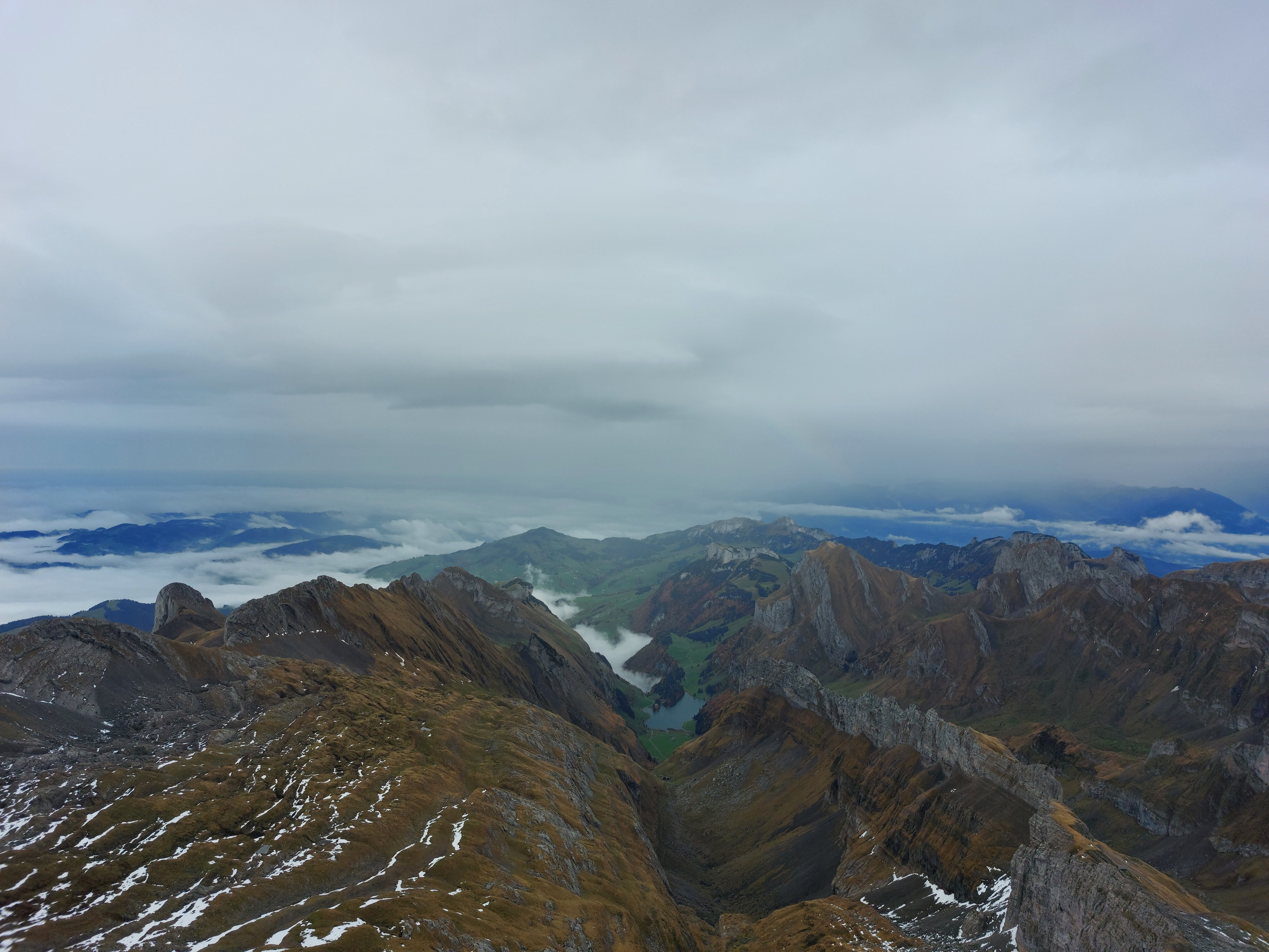
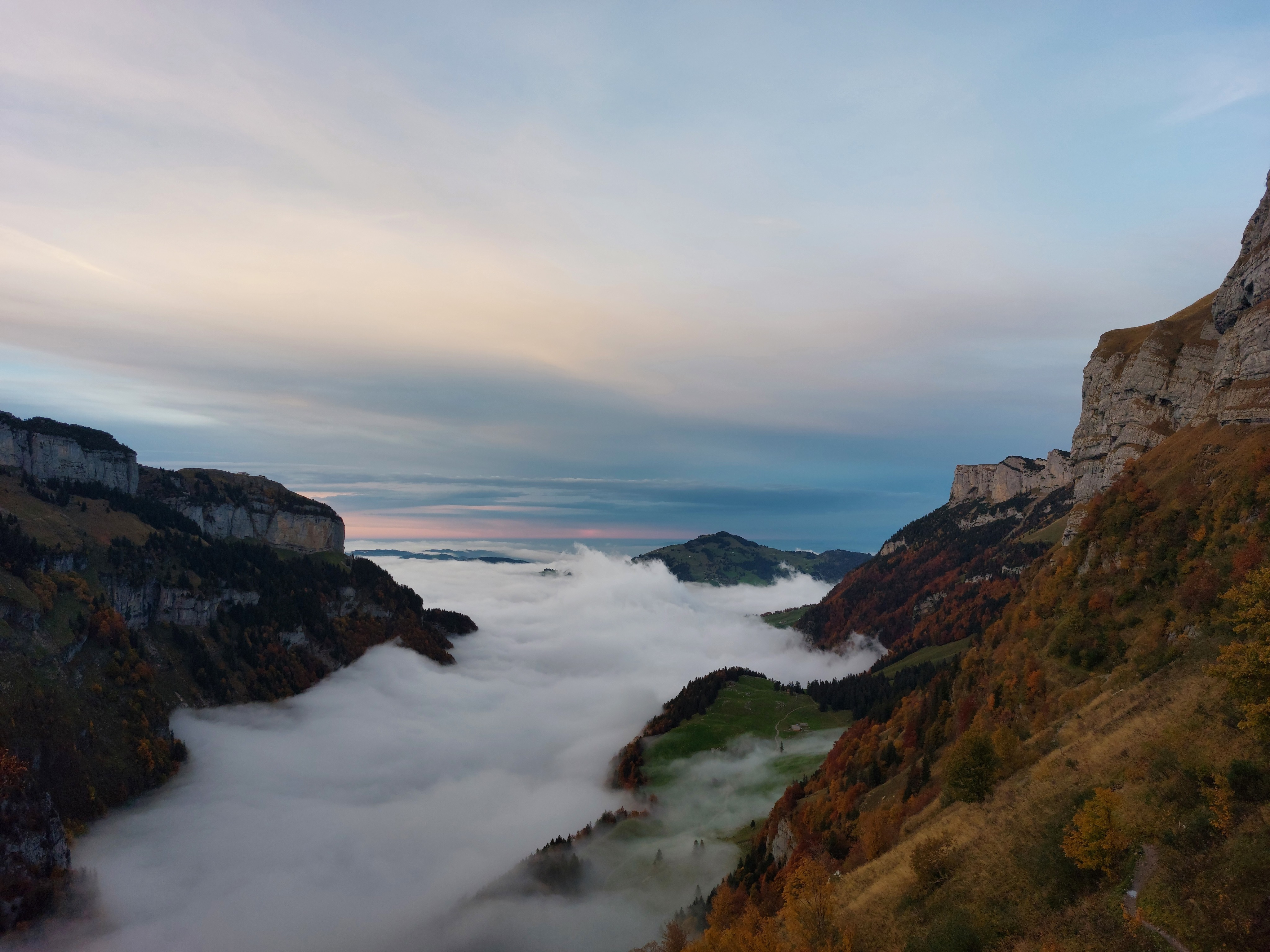
Low clouds to the north.
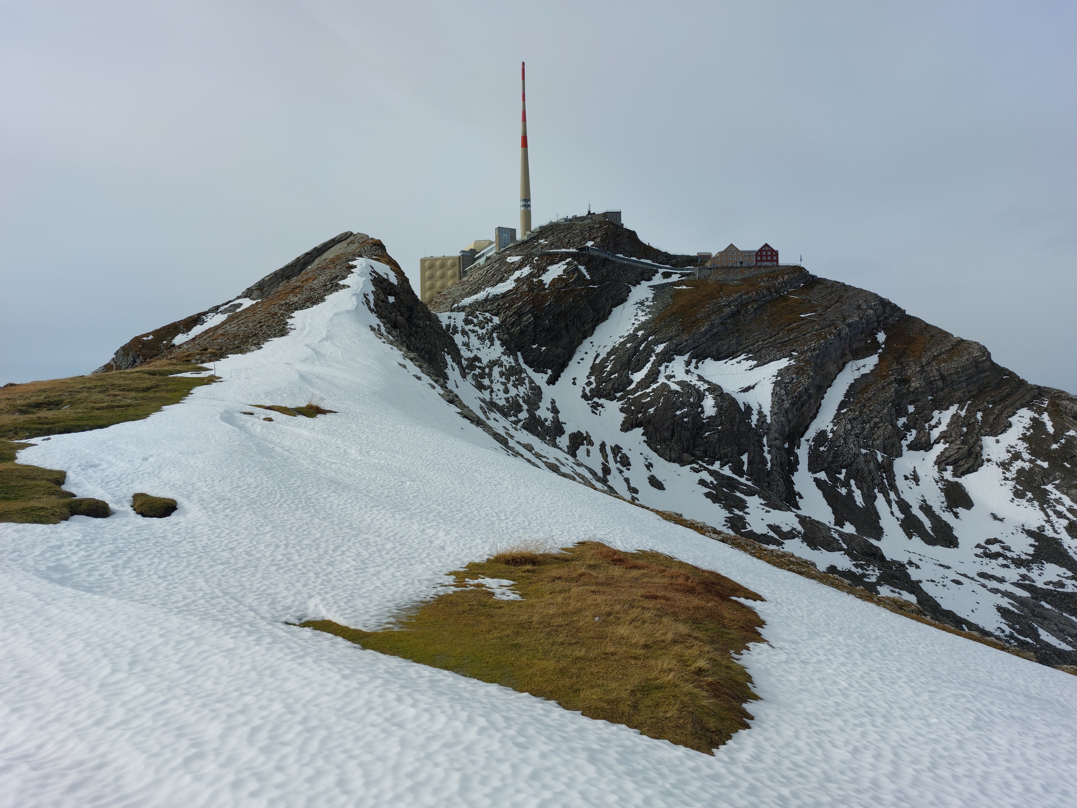
Well hello there mister rock, we meet again. I'll look up what you're called, eventually...
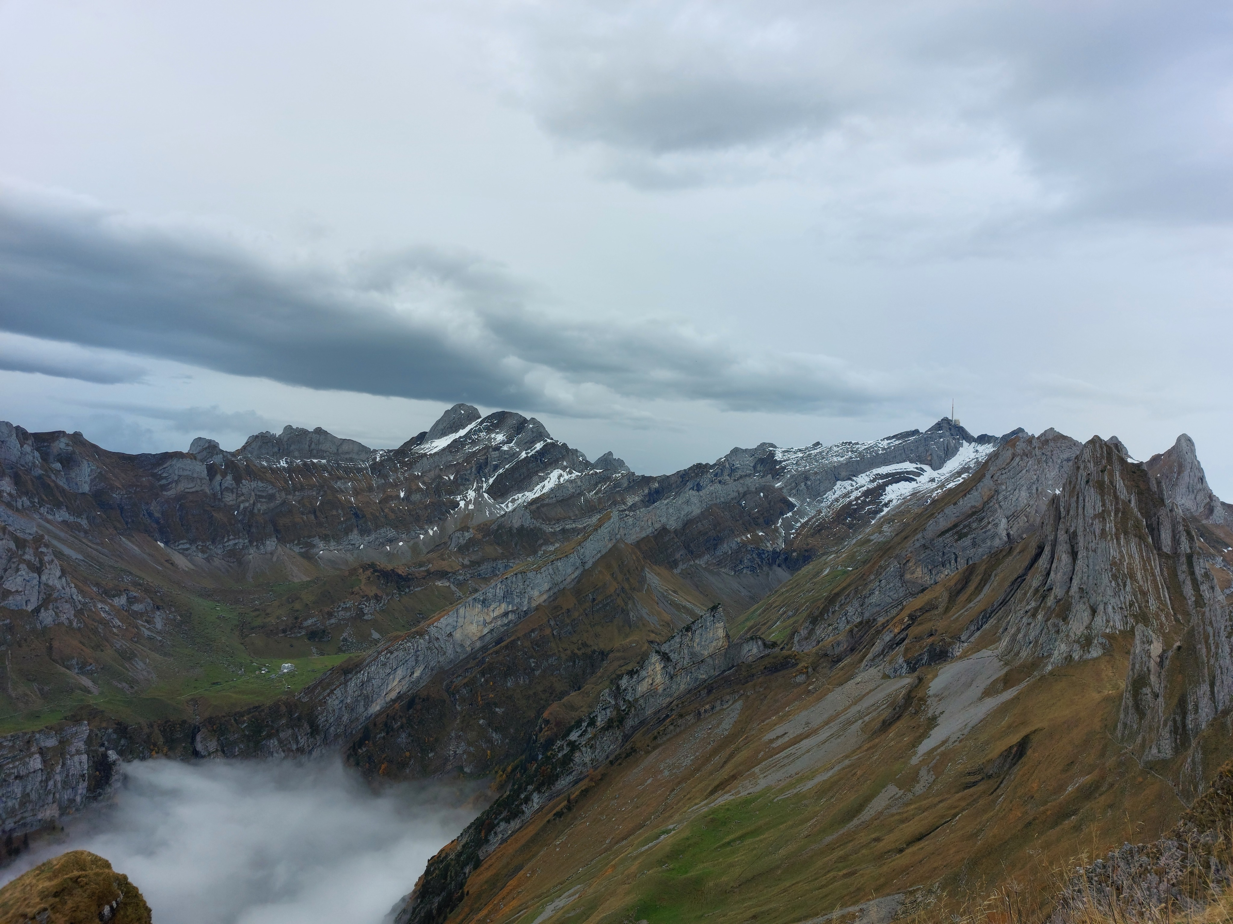
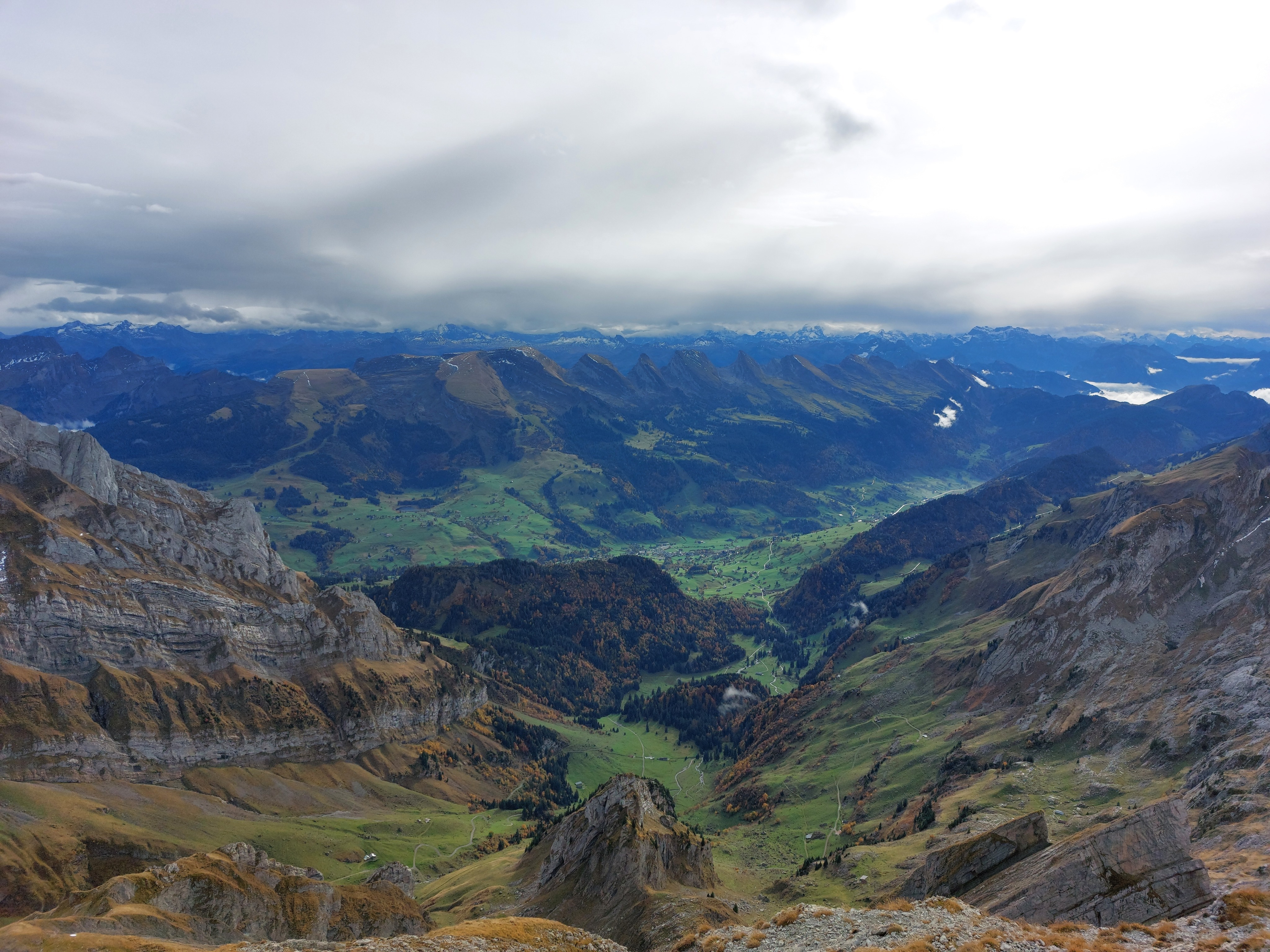
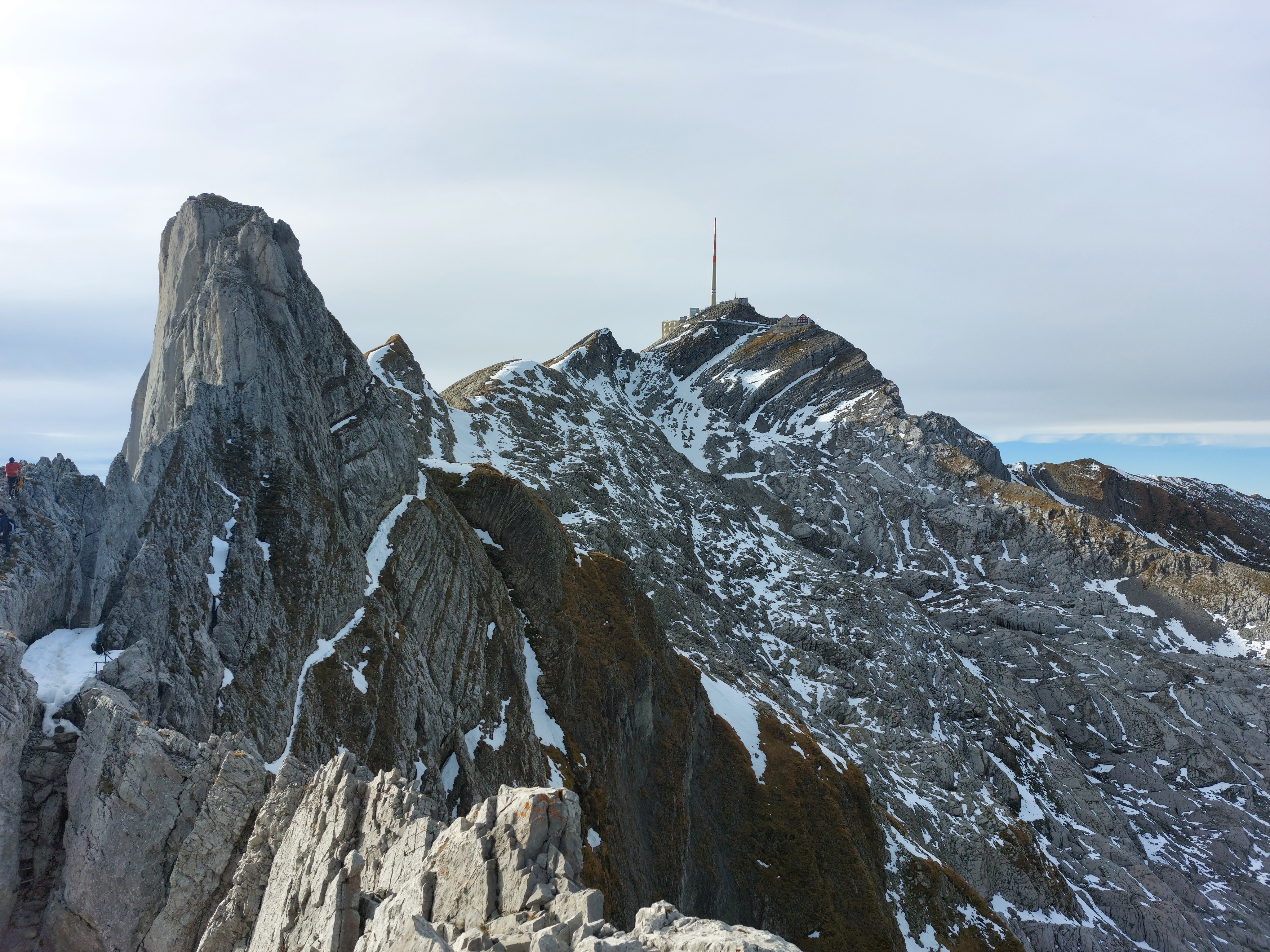
Looking back the way we came (on the left), fall edition.
Another familiar view, with some unfamiliar colours.
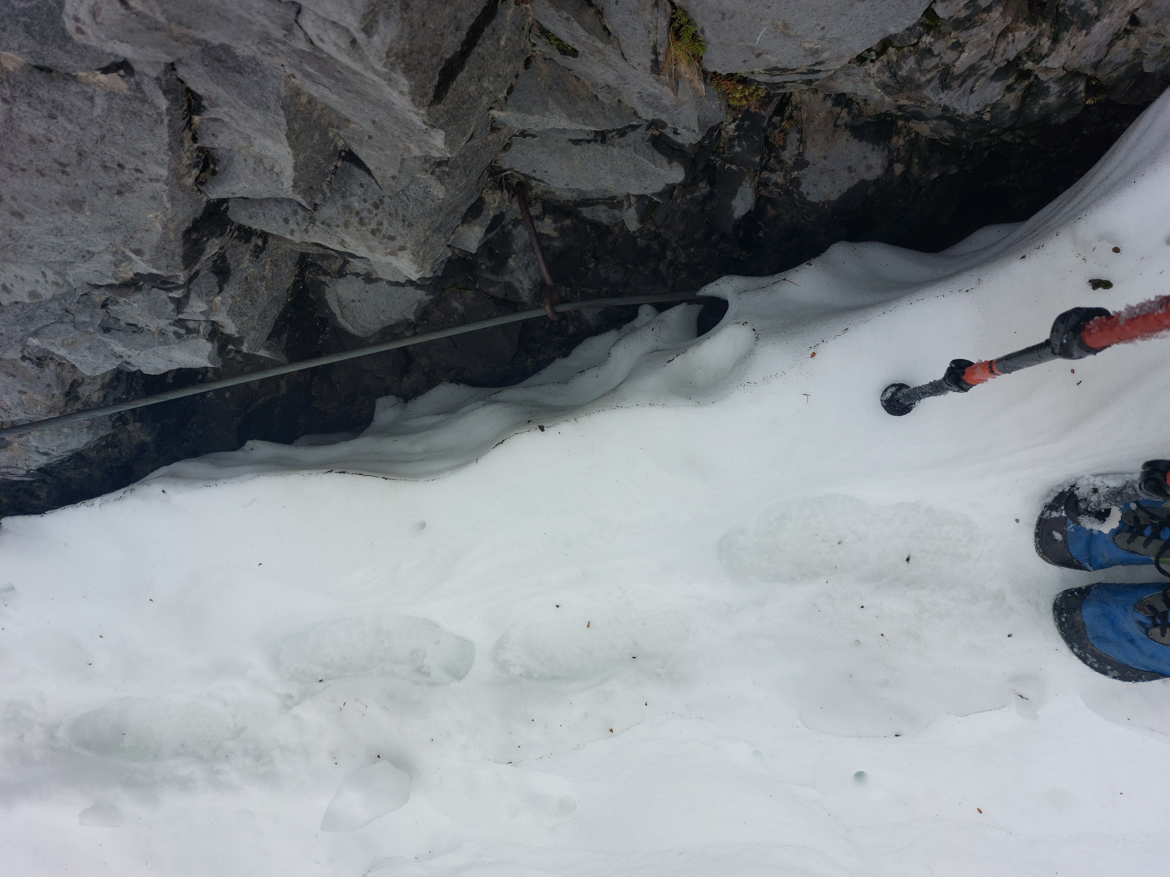
At this point, some of the cables that were supposed to be hip-ish level were below the snow.
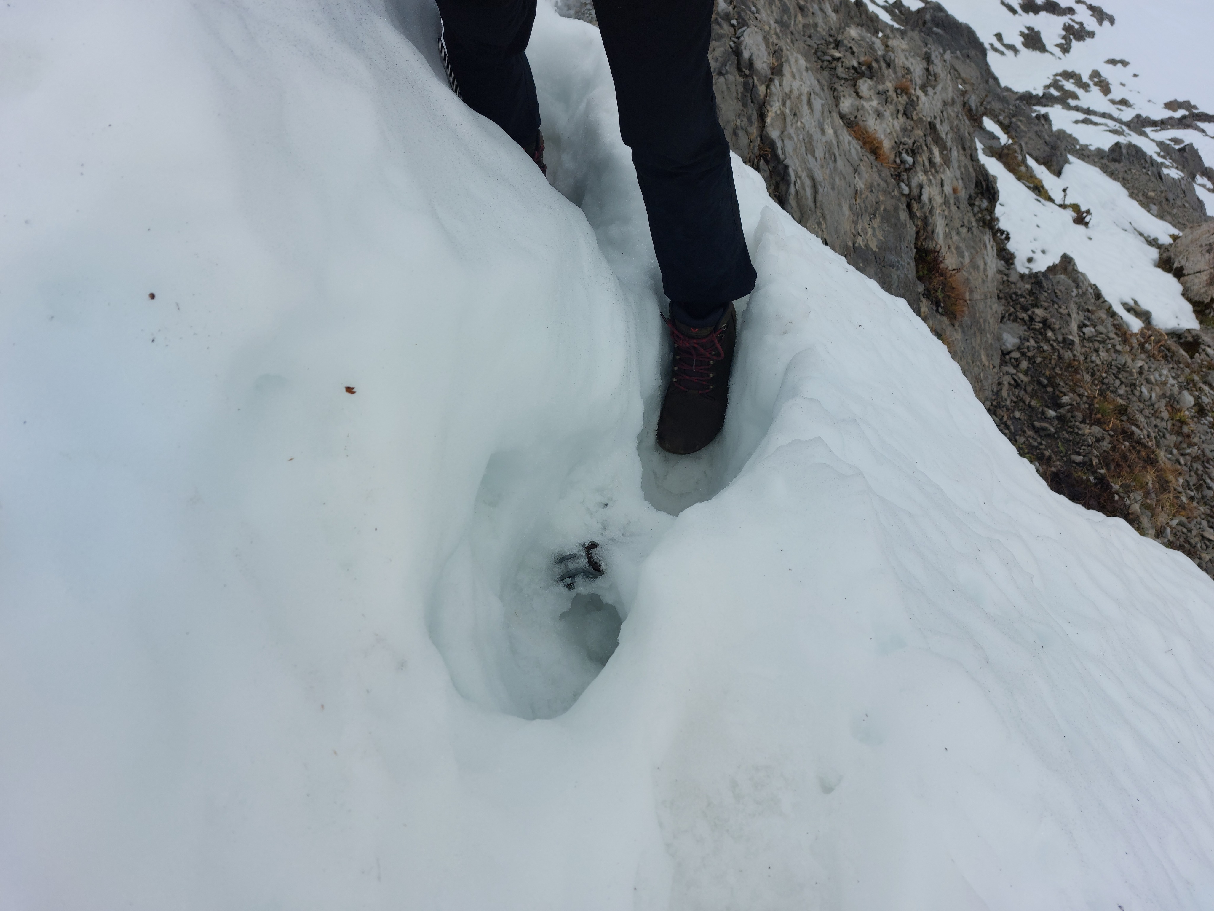
Some were really below it.
Some sections weren't that bad.
Some were not so great. A nice long fall awaited us if we slipped or the snow didn't feel like holding together.
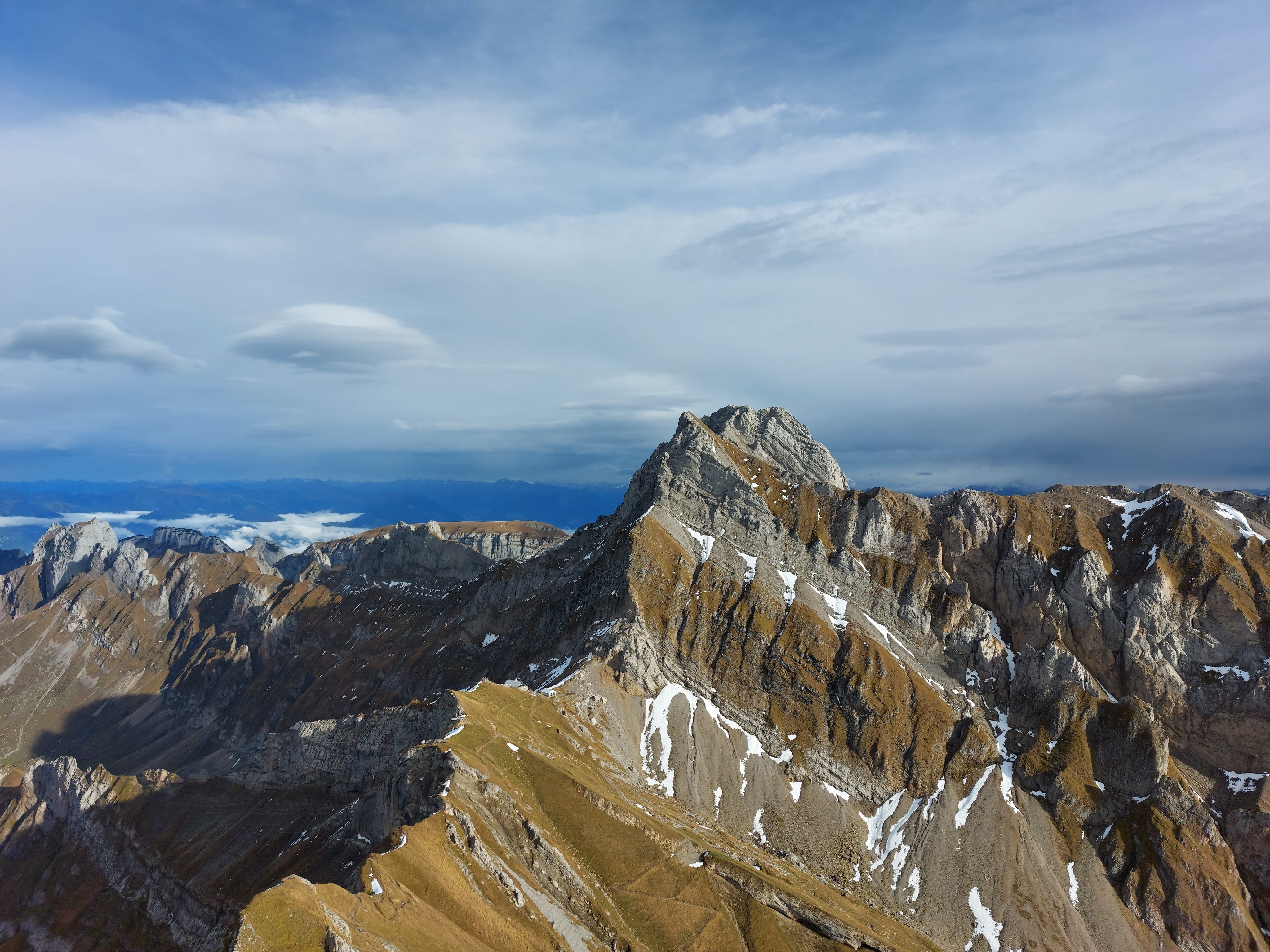
We made it to the base of Altmann eventually though, they turned west and descended into the valley along the south side.
Our route was the trail on the left, down from the base of Altmann.
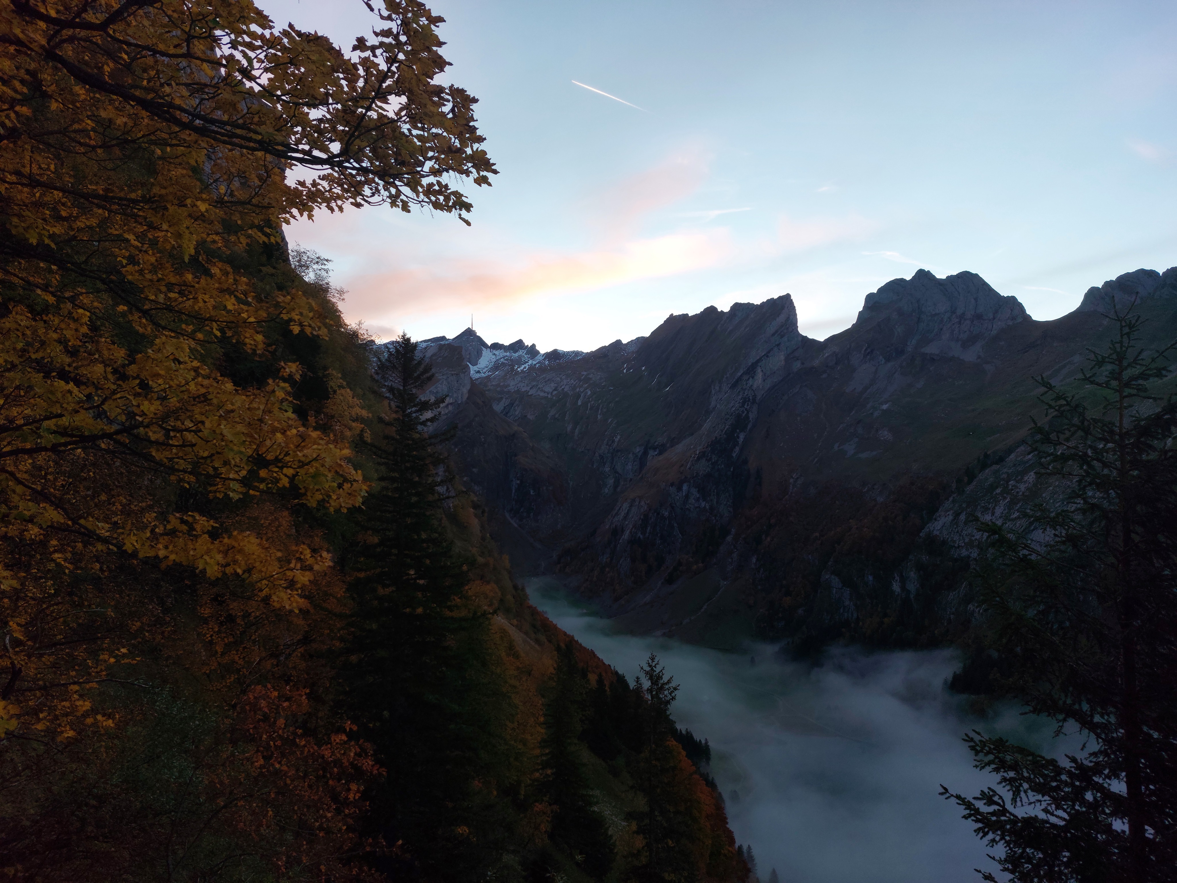
Low clouds came in over the evening.
Our last view of Säntis before descending below the treeline and losing the last of the sun. I bought a headlamp before this hike and it came in very handy.