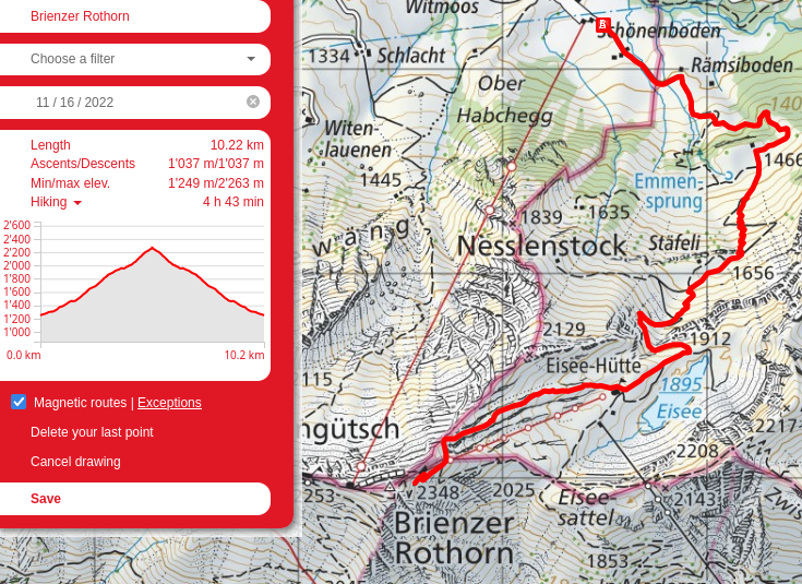
Brienzer Rothorn
My timing for this hike was a mixed bag. On one hand, it was the first week with any snow, and I ended up having to turn back due to some drifts covering up the switchbacks with a nice steep drop on the side if I happened to slip or the snow shifted. On the other, it was the lull between the hiking and skiing seasons, and as such there was no-one on the mountain at all, and the snow was pristine.
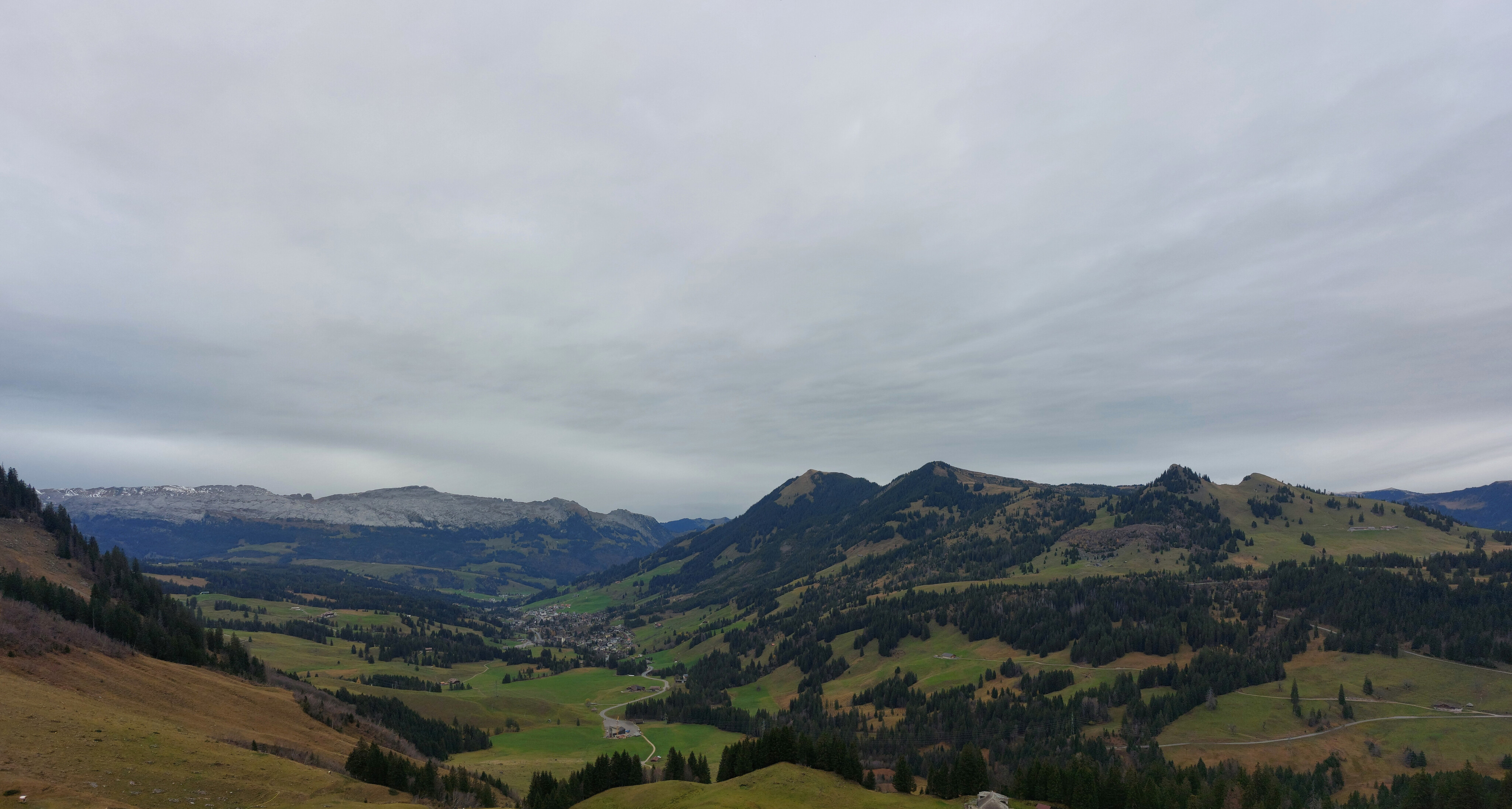
Arnitriste from outside Sörenberg; Brienzer Rothorn is hidden off to the right.
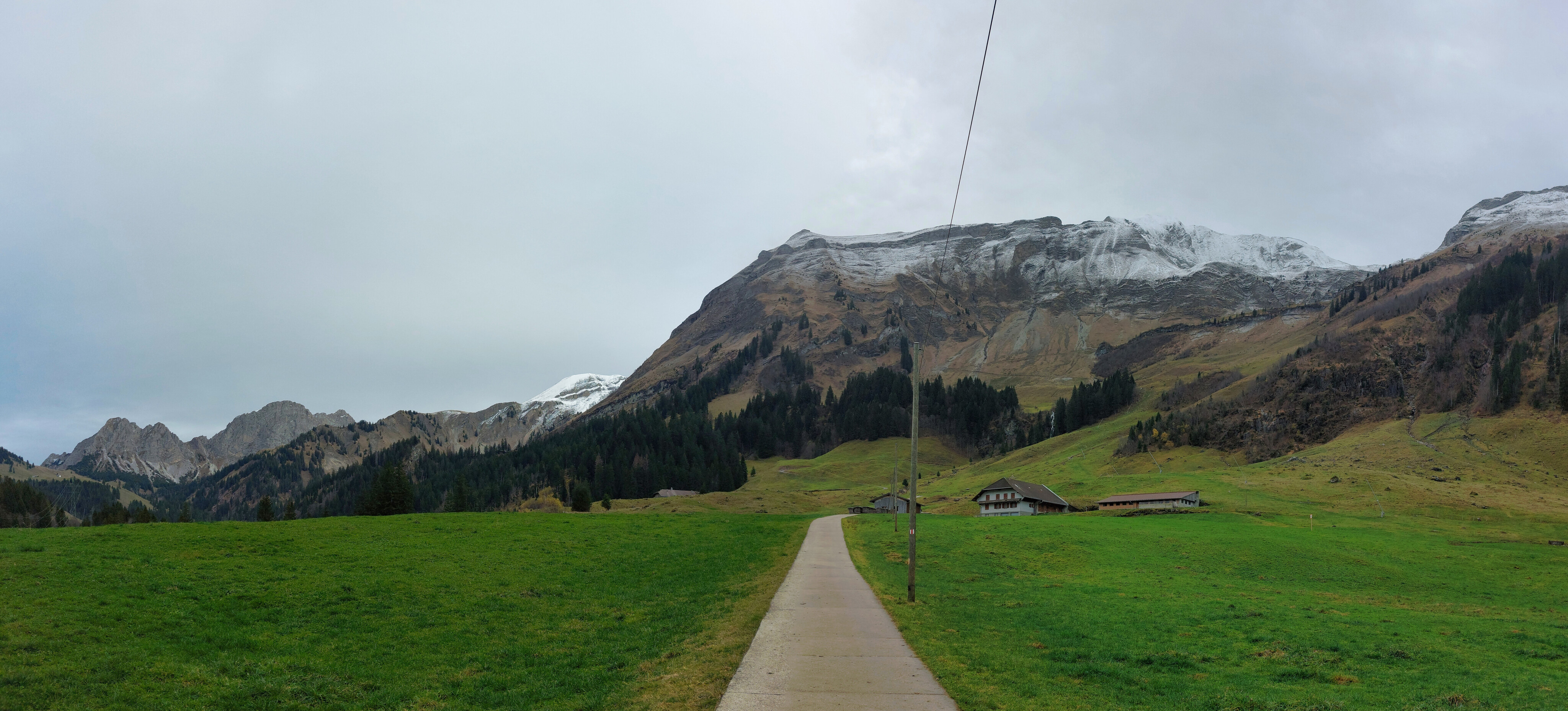
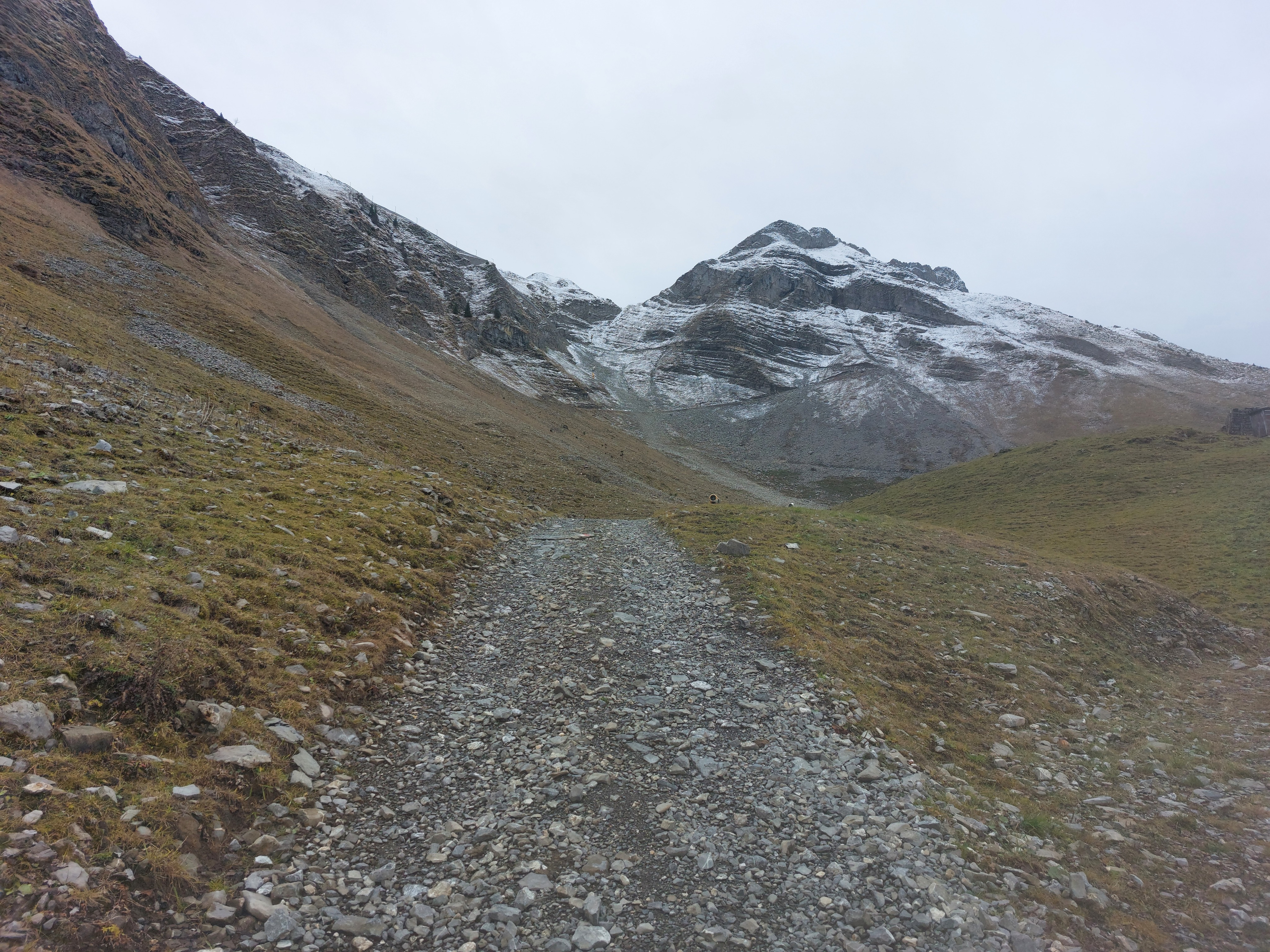
Looking back towards the beginning of the hike.
A little bit to the right, Pilatus!
There was a small army of goats chilling above the trail; when I'd get close, they'd go up, in the direction I'd come from, and back down to their preferred grazing altitude.
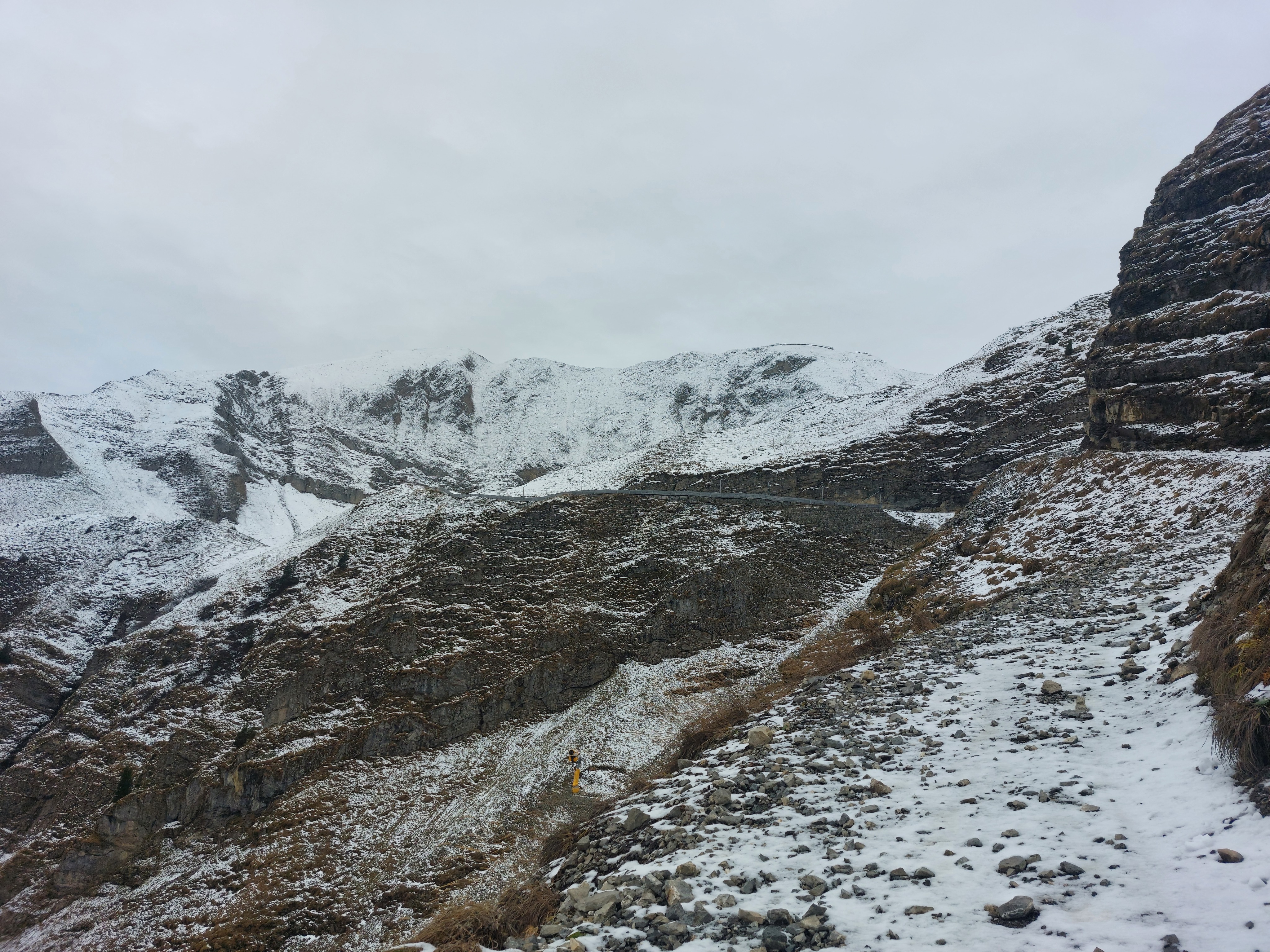
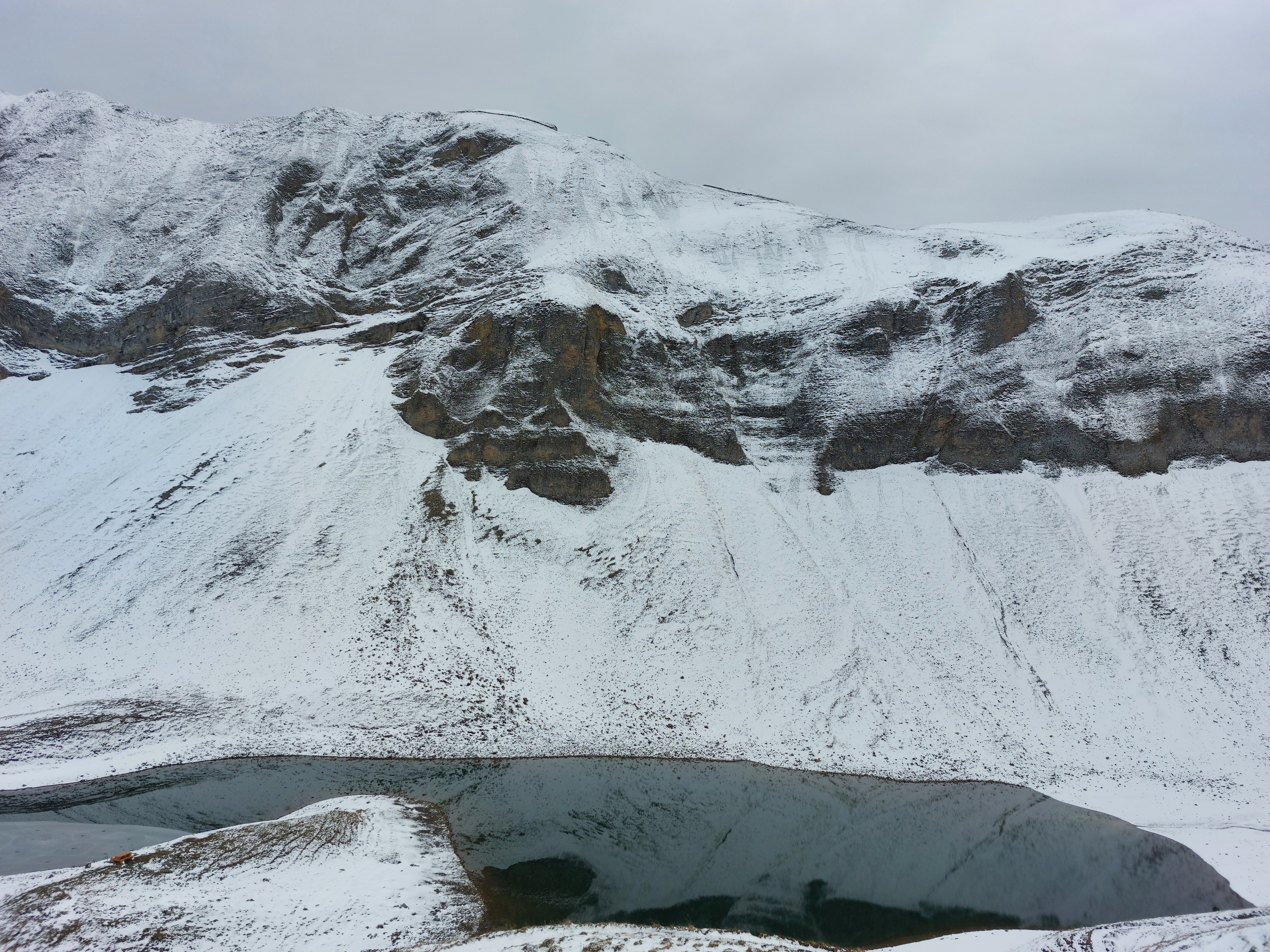
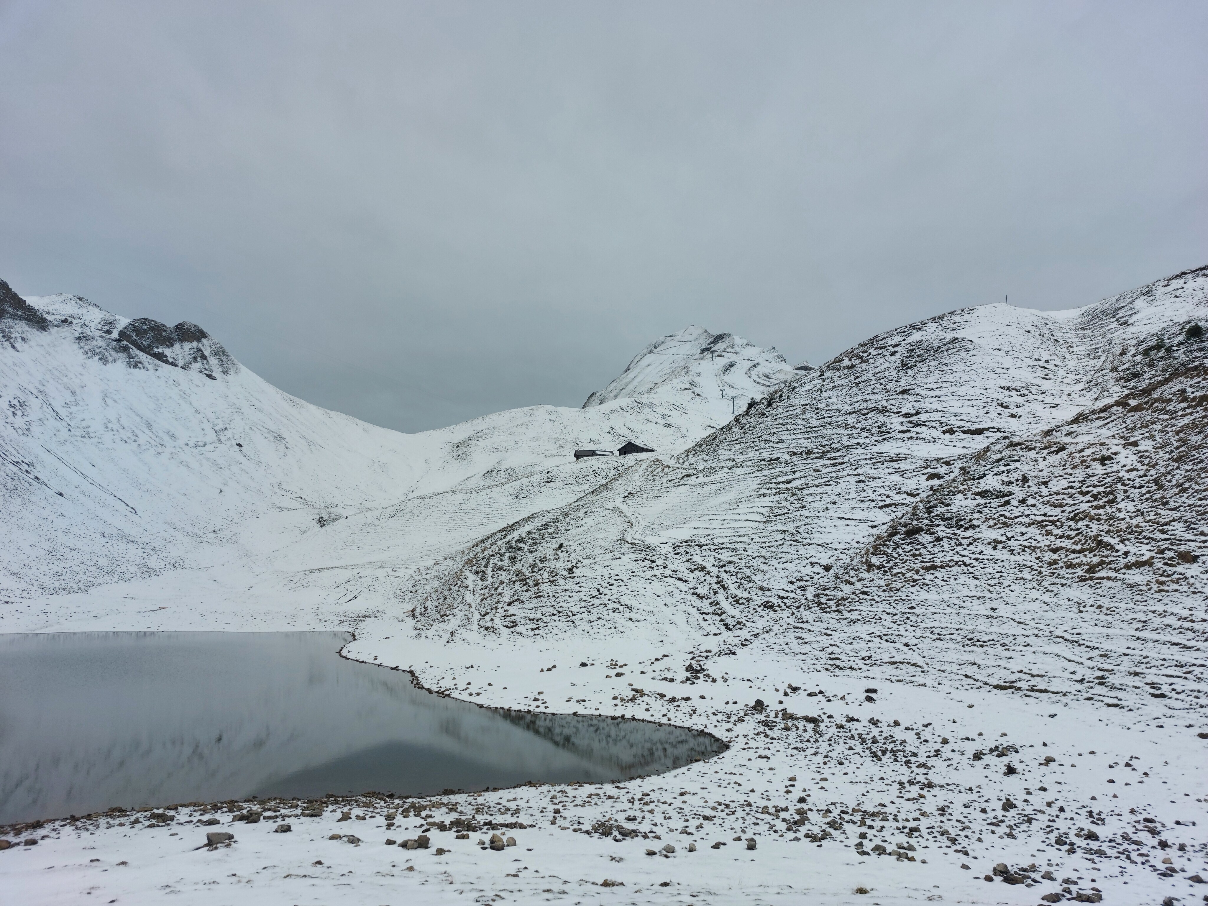
Almost at Eisee.
Stopped at the table for lunch, then upwards and onwards.
The switchbacks up the Brienzer Rothorn. Around here, the snow went from a thin layer to anywhere between a few inches and a couple feet.
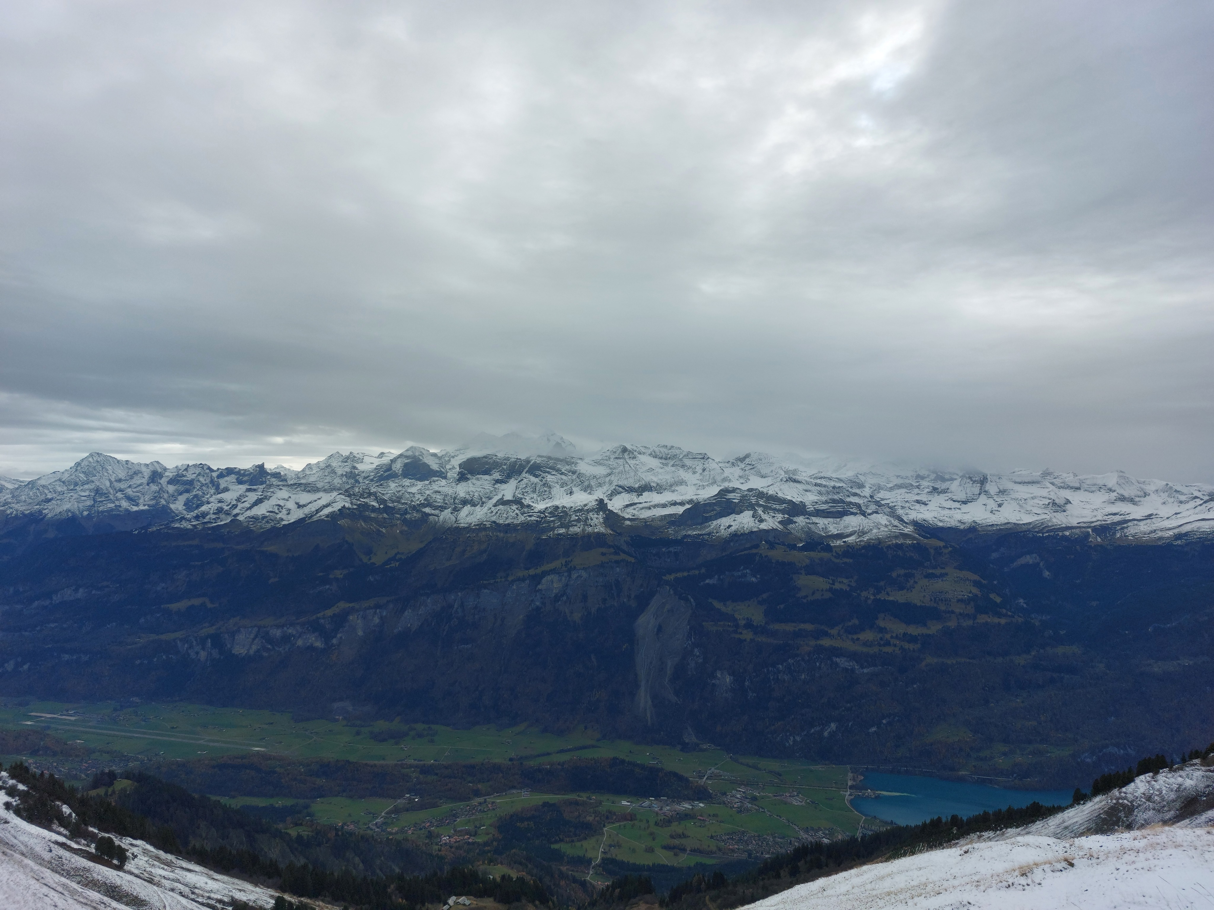
Brienz, Brienzersee, and hidden in the clouds, the Jungfrau and friends. I suspect the tallest visible mountain, just left of center, is the Wetterhorn.
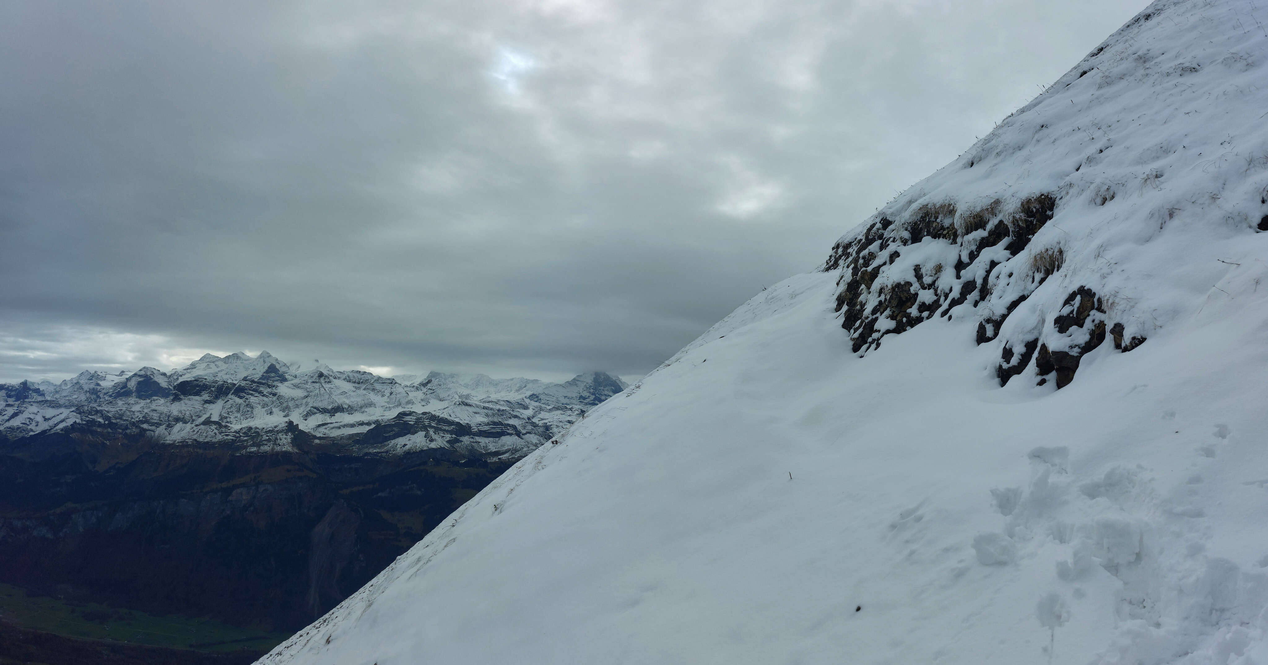
Where I decided to turn around; the switchbacks had been covered in snow drifts, and I didn't want to risk sliding down the mountain, even with an axe.
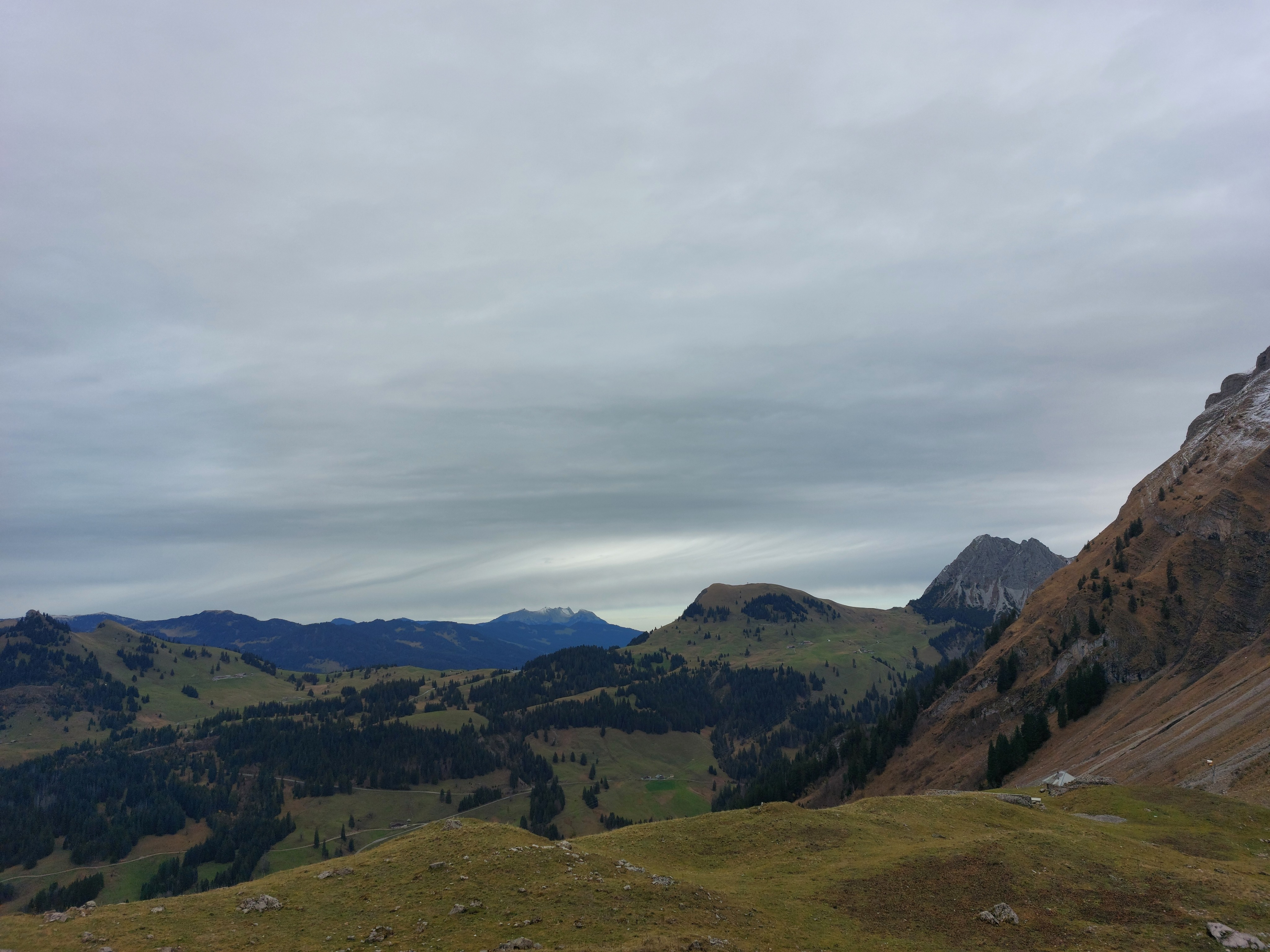
Looking north-east from around where I stopped.
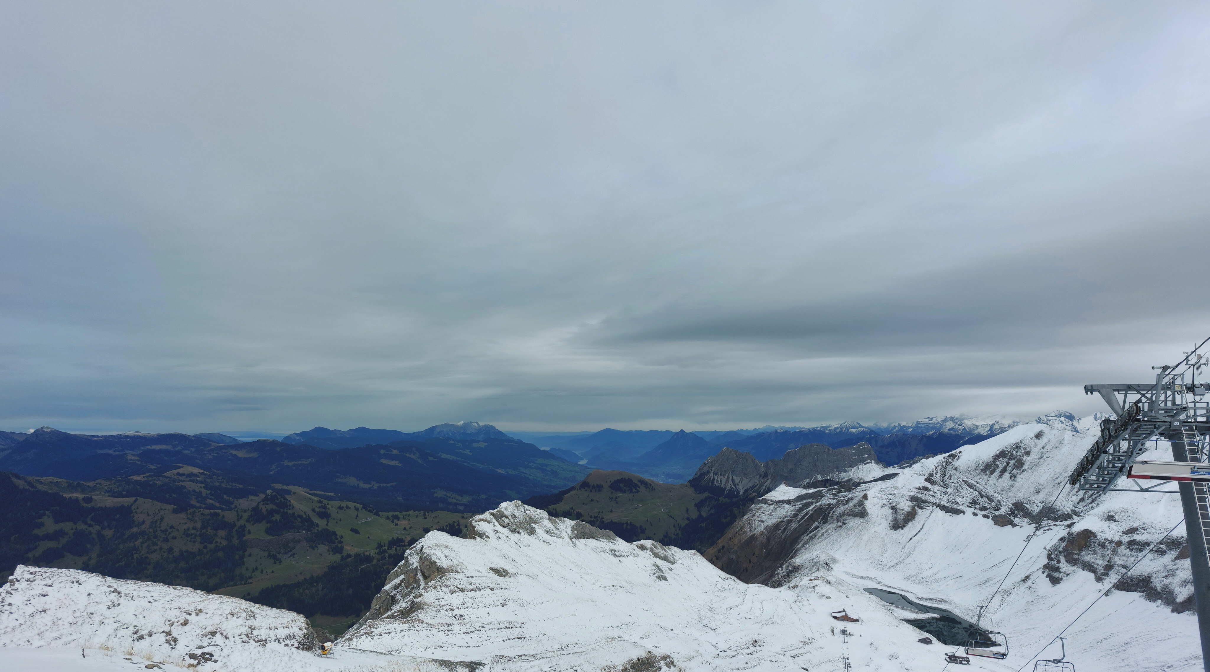
Looking south-east from around where I stopped.