Rigi Hochflue
Wanting to take full advantage of the perfect weather, I set out the day after Grosser Mythen to one of the mountains which were visible from its summit, Rigi Hochflue. It felt like a strange hybrid of California and Hawaii; it had the arid trees and stones of the former and the root-covered ground, knife ridges and cable sections of the latter.
I took the cable car up to Urmiberg. I wish I had taken pictures of the restaurant, because it was absolutely adorable. From here, it's through some fields and forests until we reach the start of the alpine track.
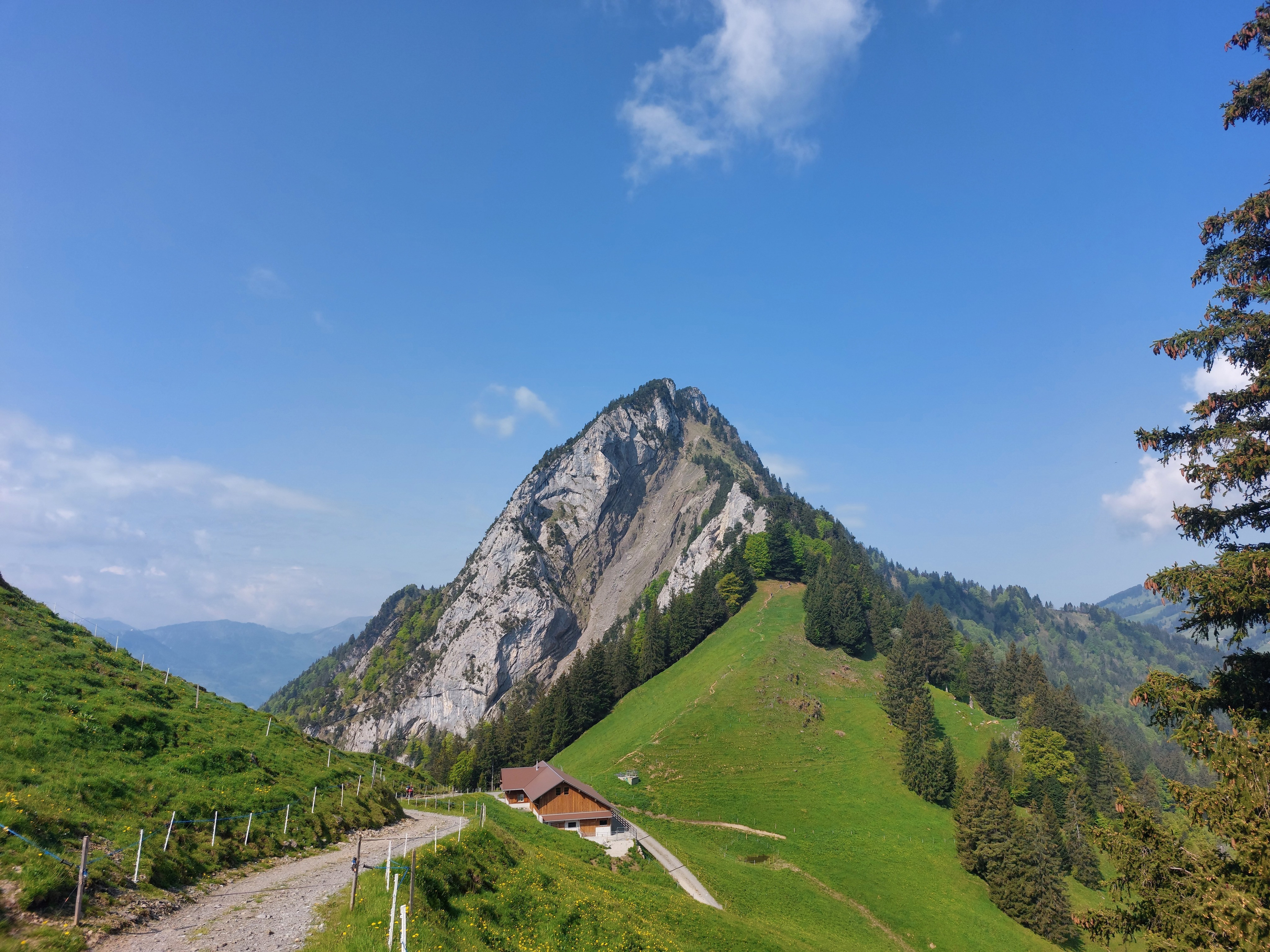
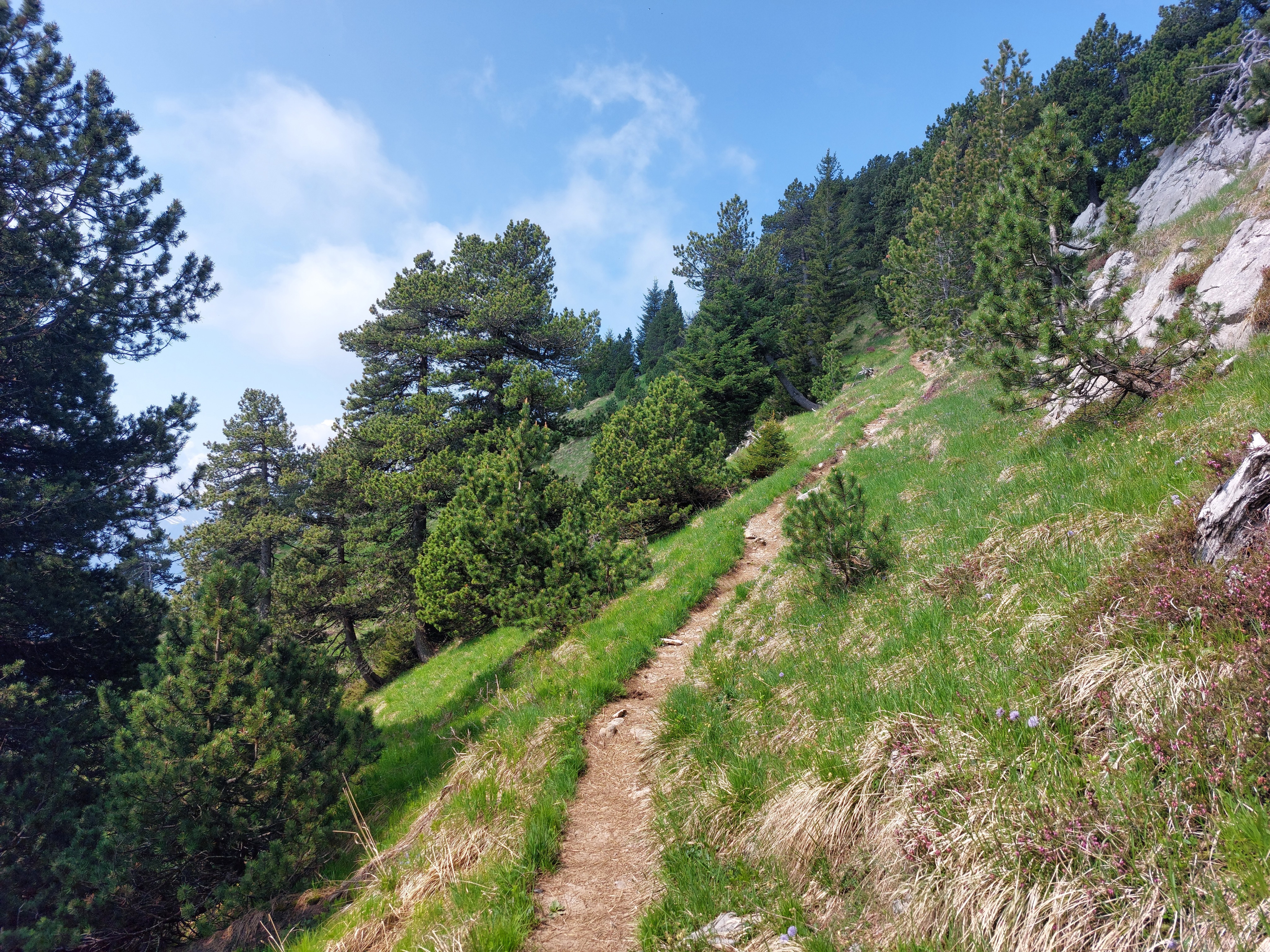
The open hill on the far side of this little valley is the last casual part of the hike; from there, it's all death drops and cables, or even more fun, death drops and no cables!
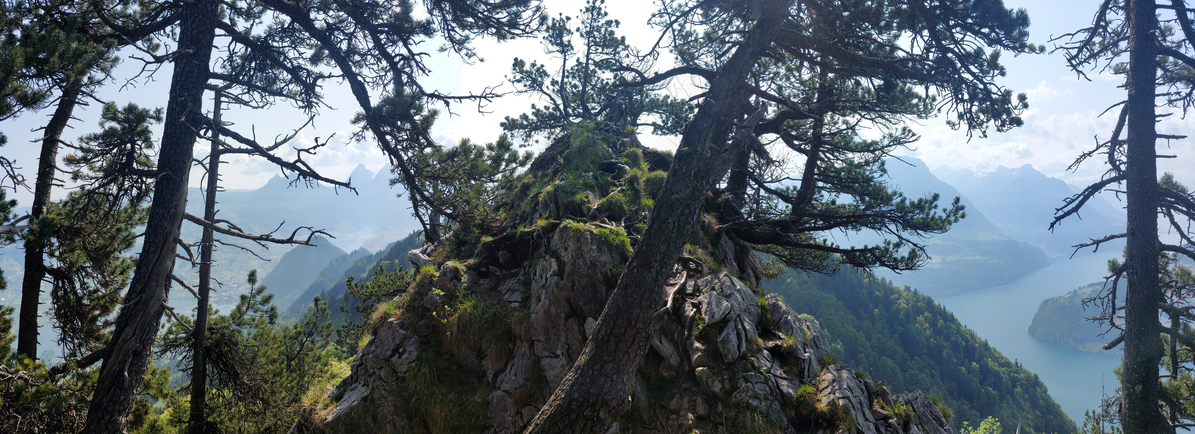
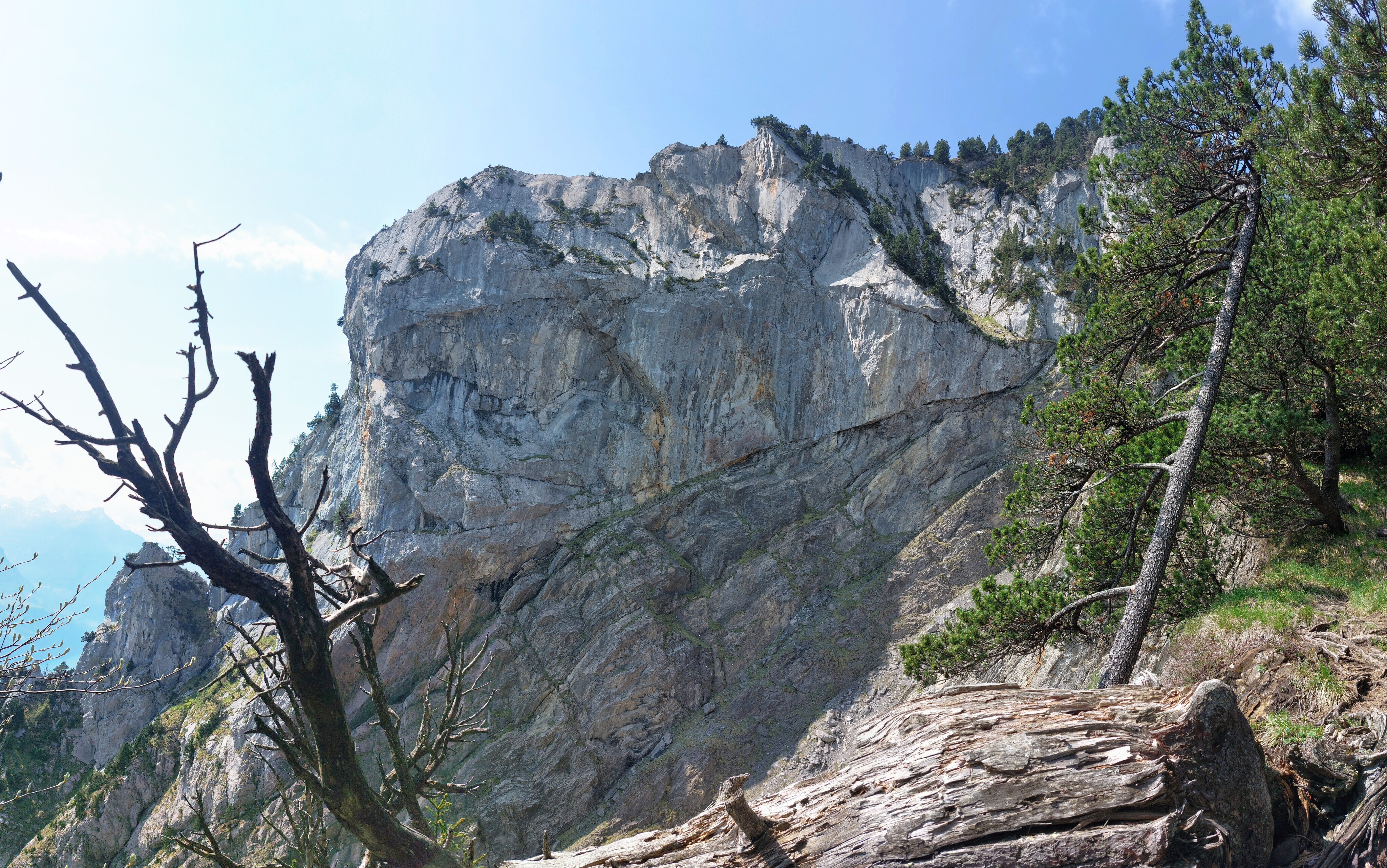
Looking back from partway up, much of the traversal was along the top of edge of knife ridges like this one.
Or, turning the other way, like this one.
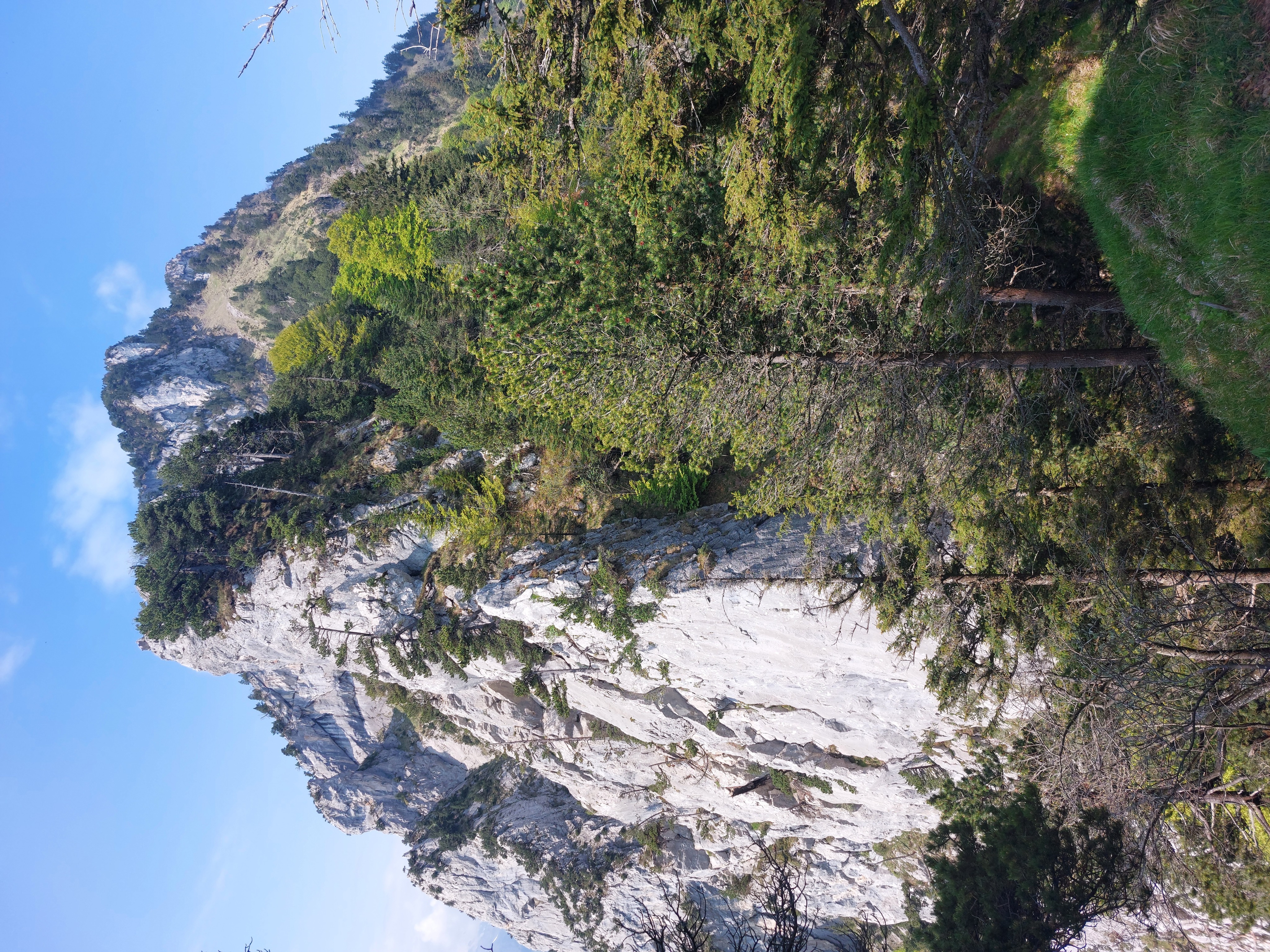
For whatever reason, this mountain feels much more arid than its neighbors, almost like it belongs in California.
Looking back the way I came, Grosser Mythen in the background. There were just a couple long cable sections to go to the top.
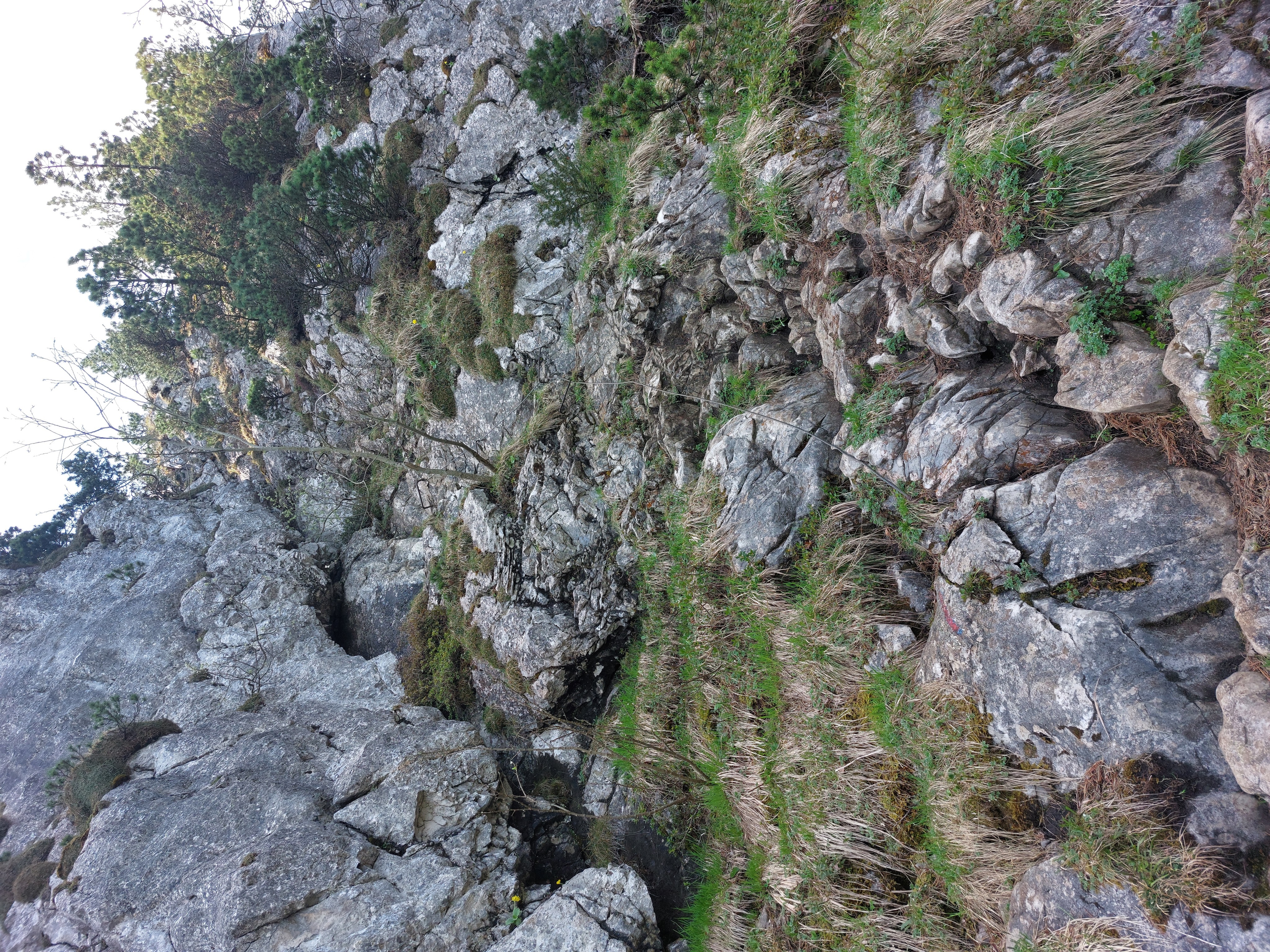
The last cable section. Pictures really never do it justice (that, and the second half is hidden behind the rocks on the left-hand side). It was very vertical, and at some points required either using little footholds, or reaching my foot up to near waist-level to get the next solid foothold. I guess it's rated T5- for a reason; I wouldn't recommend coming here if you're not pretty comfortable with exposure and a bit of monkey business, or rather approaching from the north or west instead.
Past all the cables and onto the final strech!
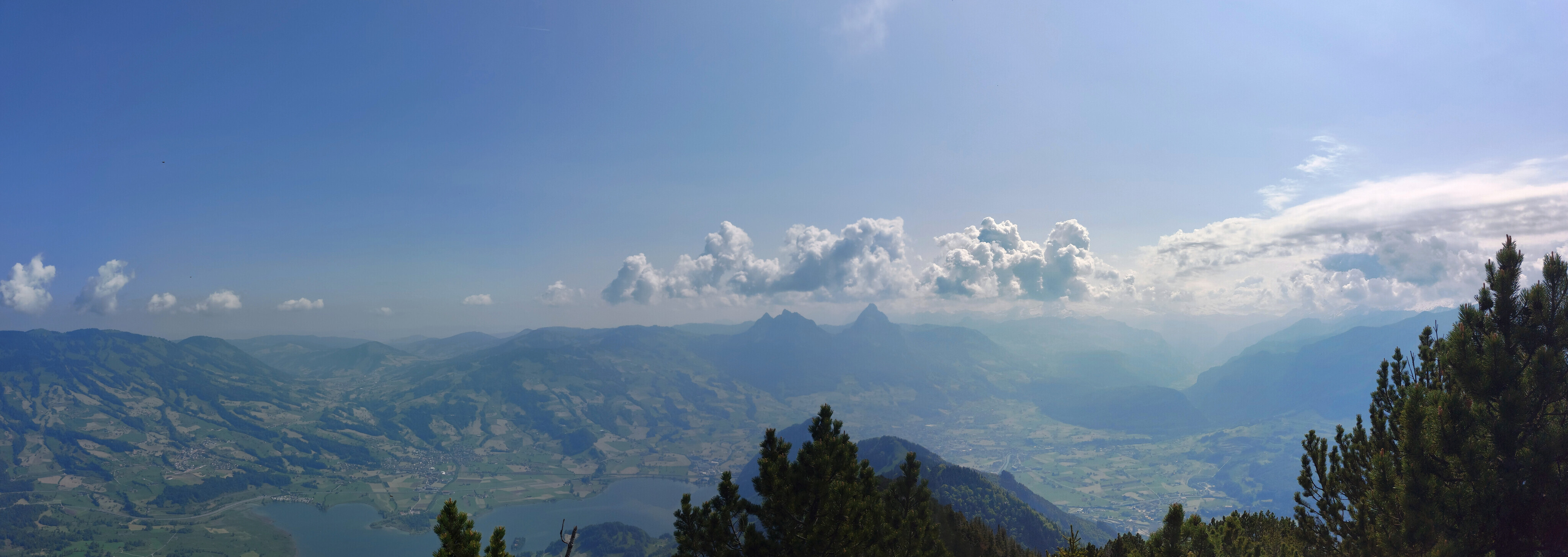
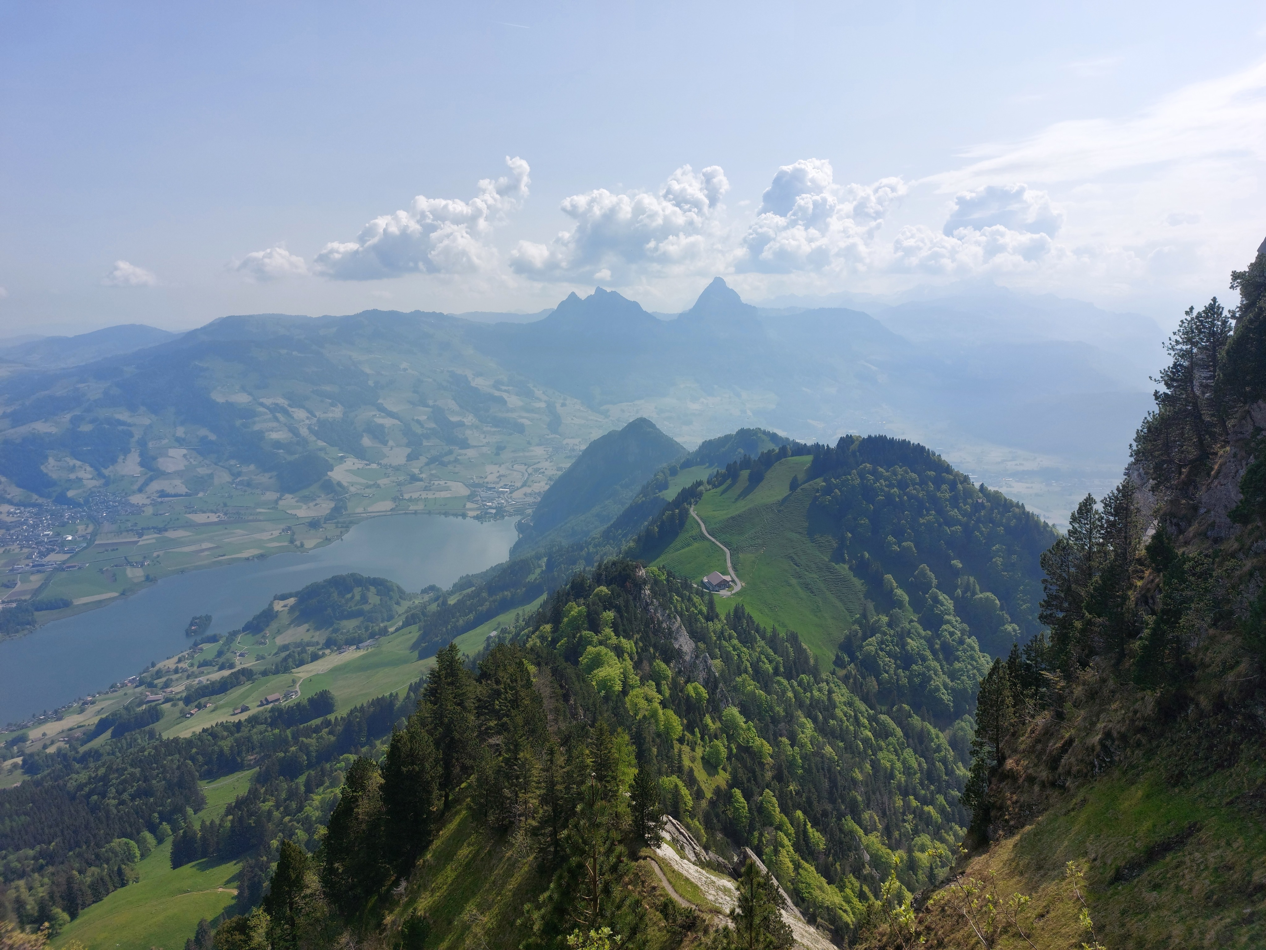
Looking east from the summit, Grosser Mythen and the Lauerzersee.
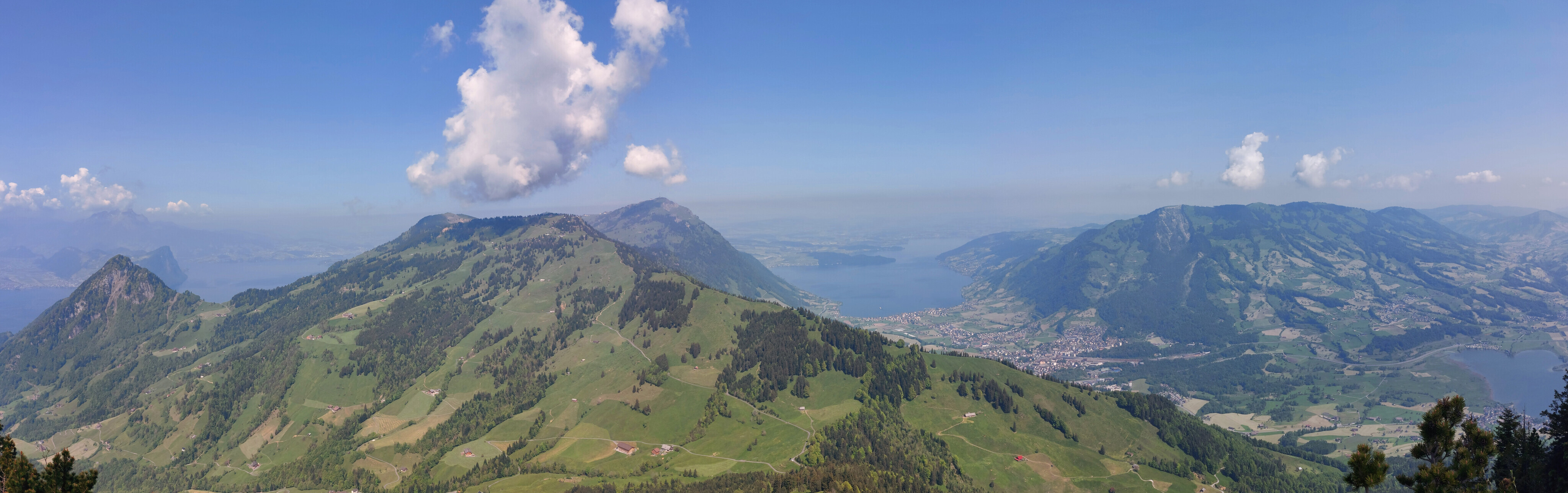
Looking north from the summit, Rigi proper.
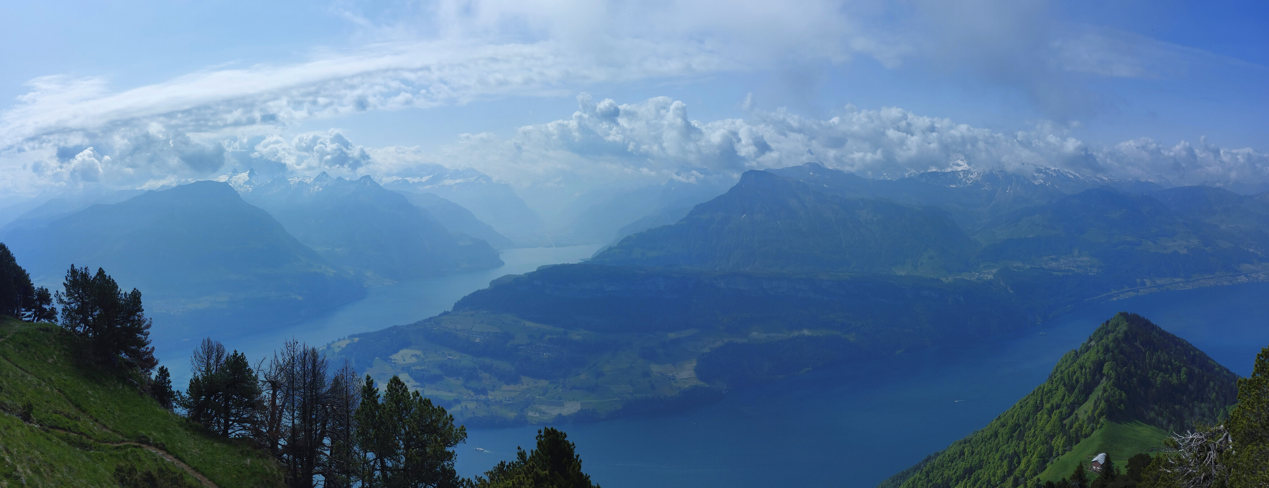
Looking south from the summit, Altdorf, Oberbauenstock, Rossstock and Fullen, and some other Uri and Nidwalden mountains.
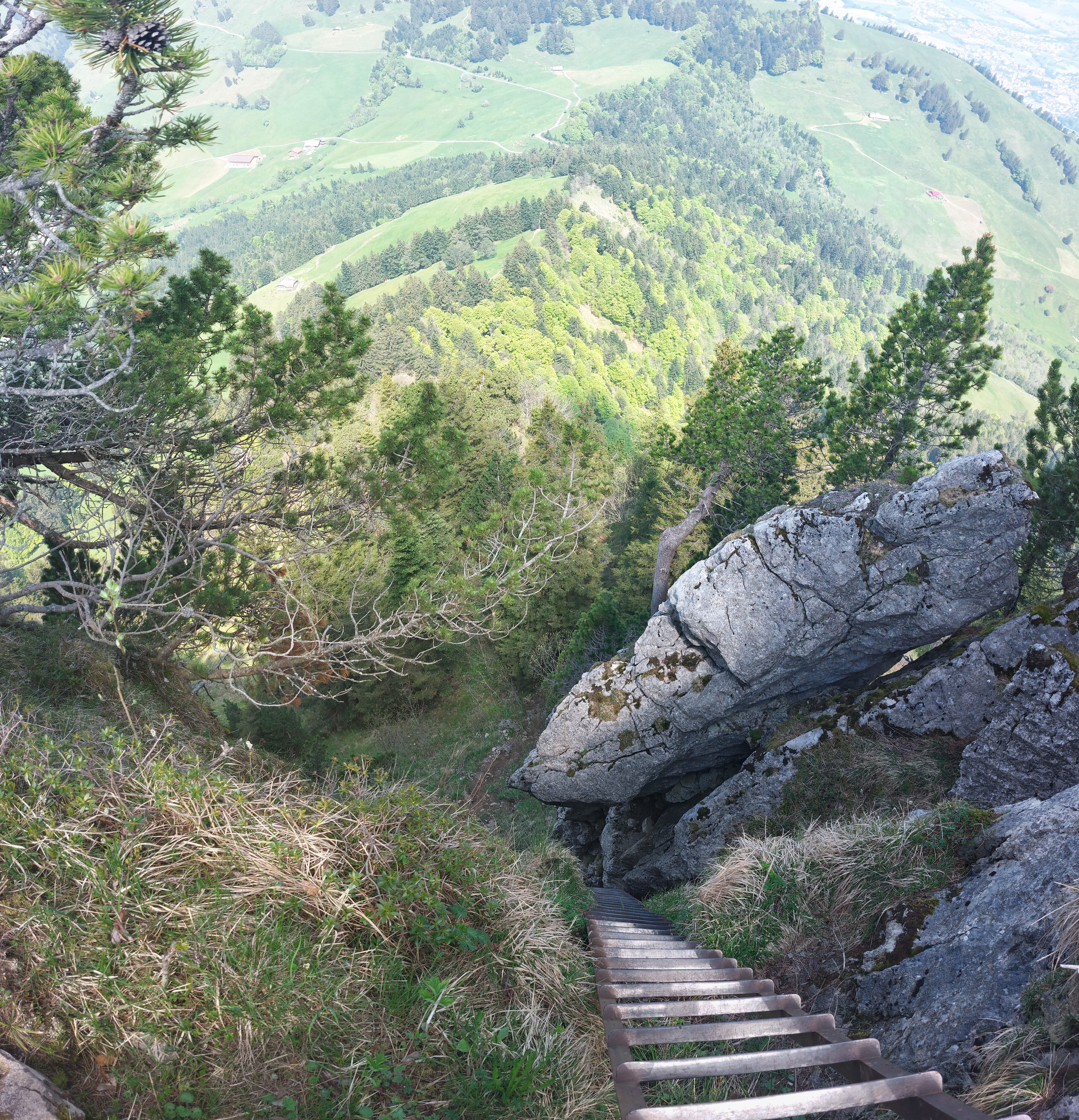
If approaching from the north, there's a 25m tall ladder before the summit. Since it's the unique part of the northern route, I went down and up it for fun before continuing on my way down to the west.
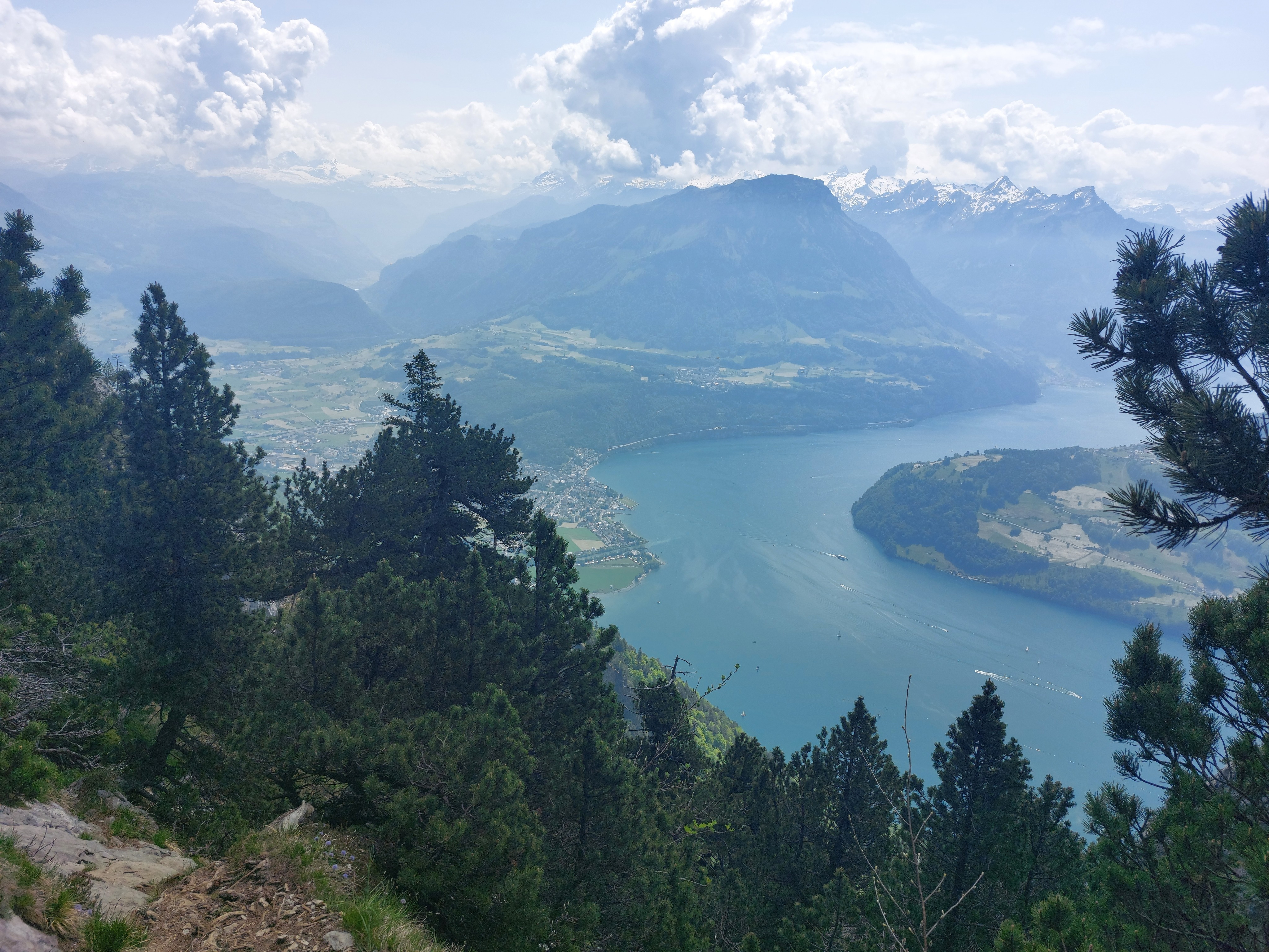
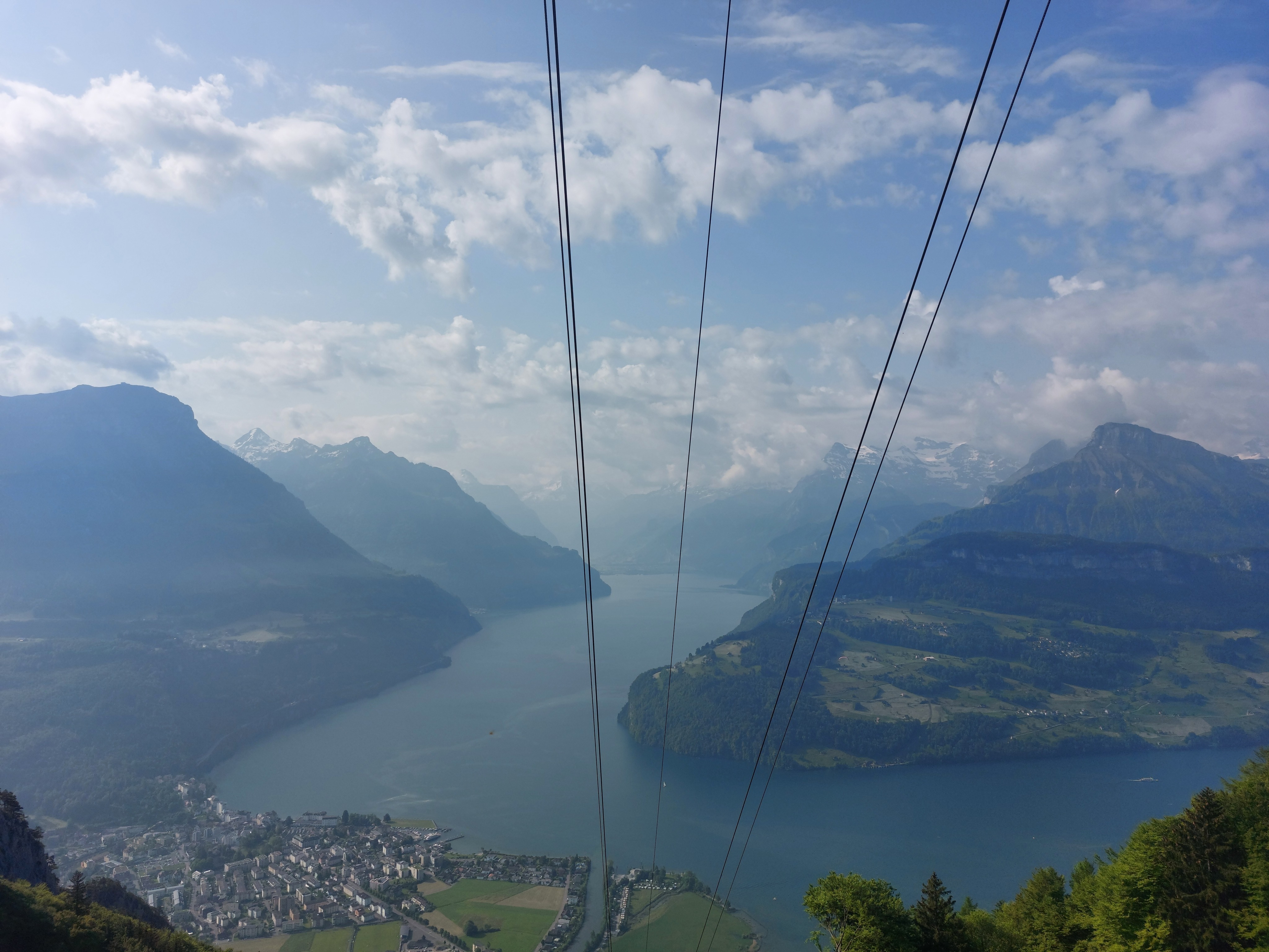
The intersection of the Urnersee and Vierwaldstättersee at Brunnen.
After following chains down the west face of Rigi Hochflue, back at the treeline.
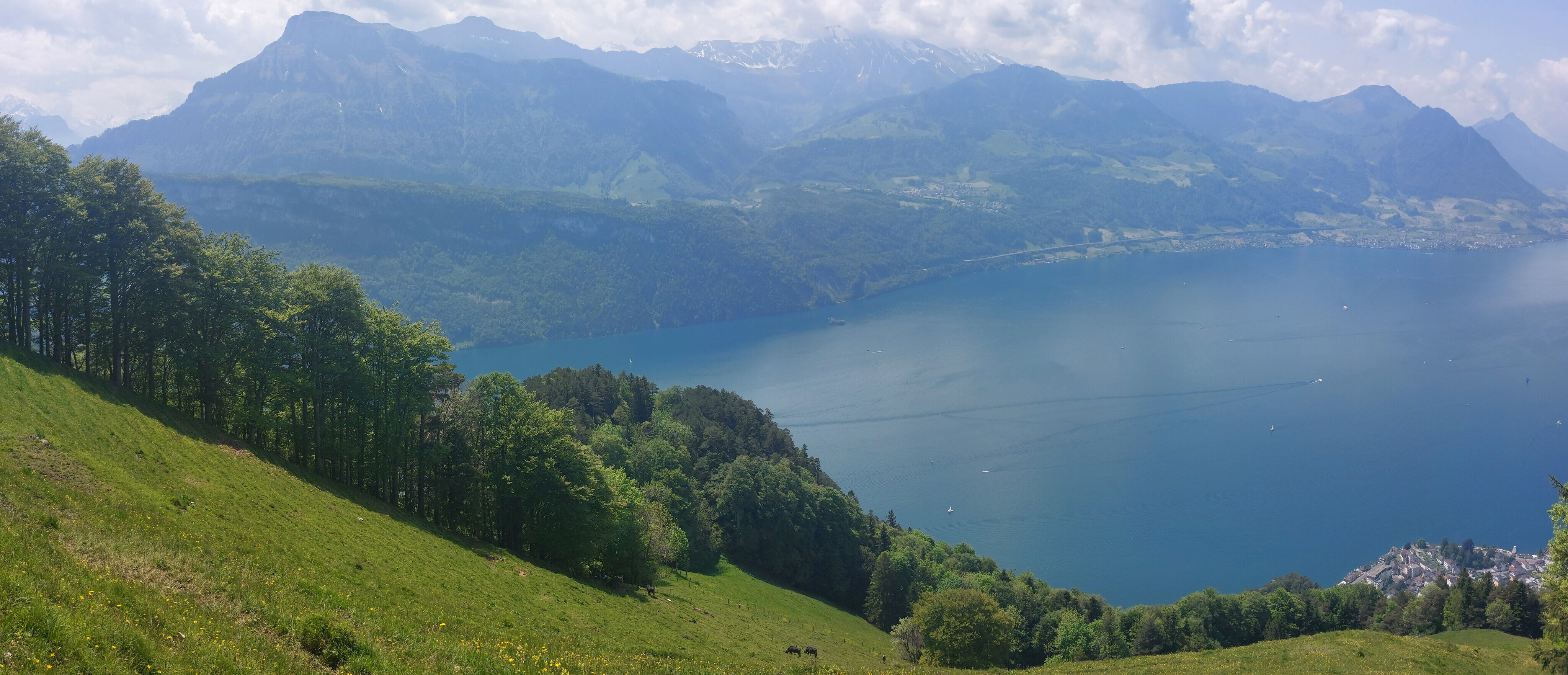
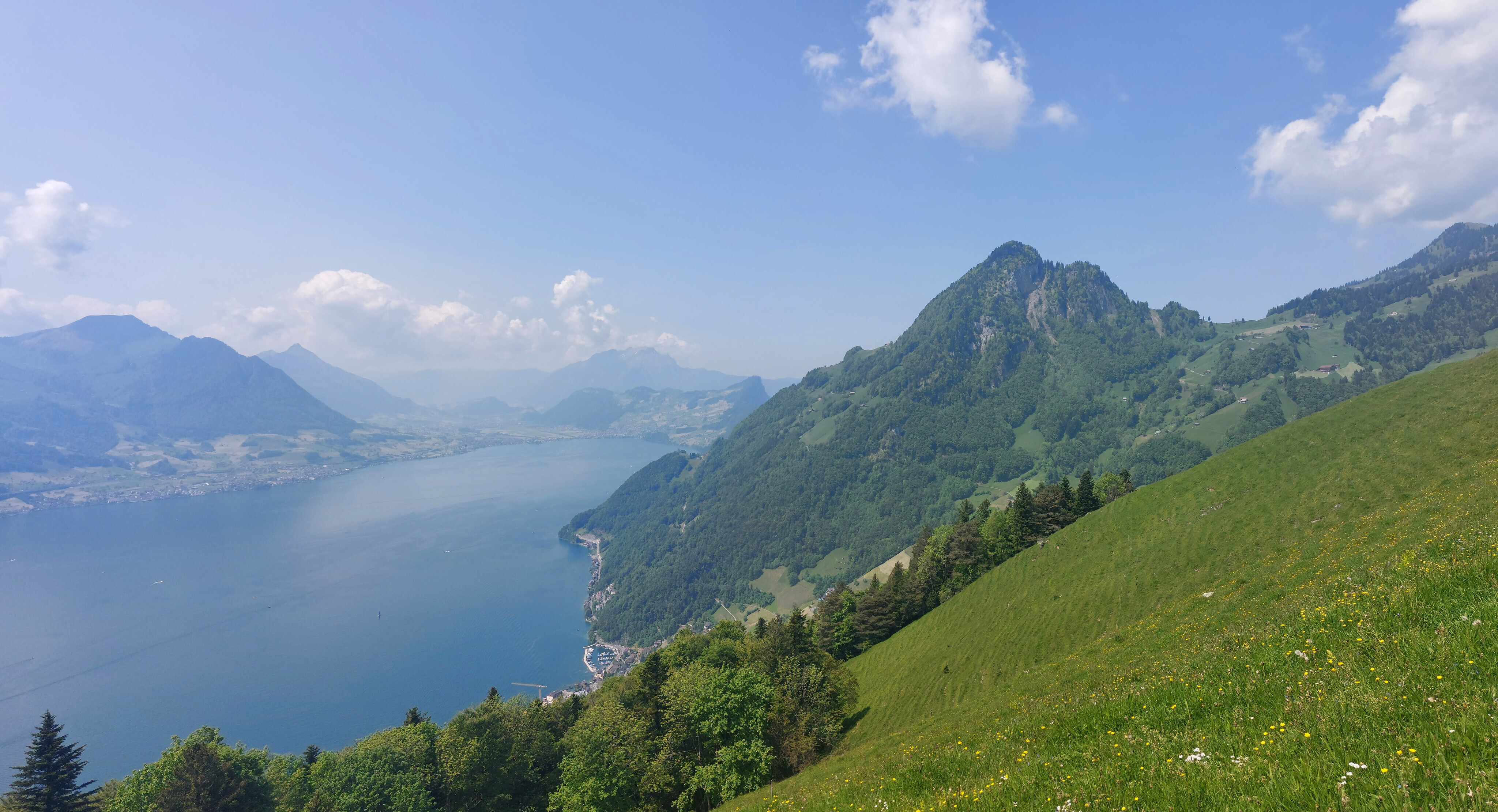
No hike is complete without passing by a field of cows. The end of the hike, Gersau, is visible in the bottom right corner.
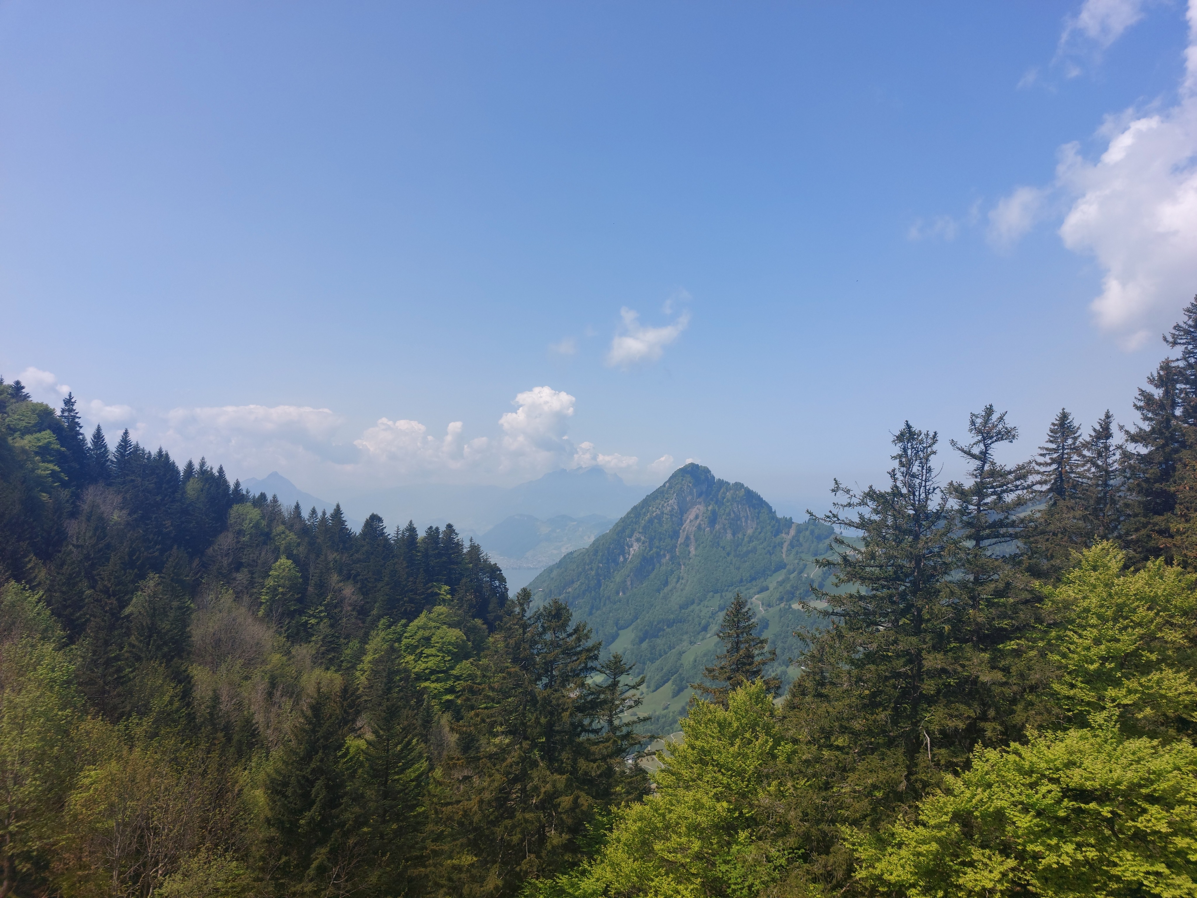
Looking right/east towards Pilatus.