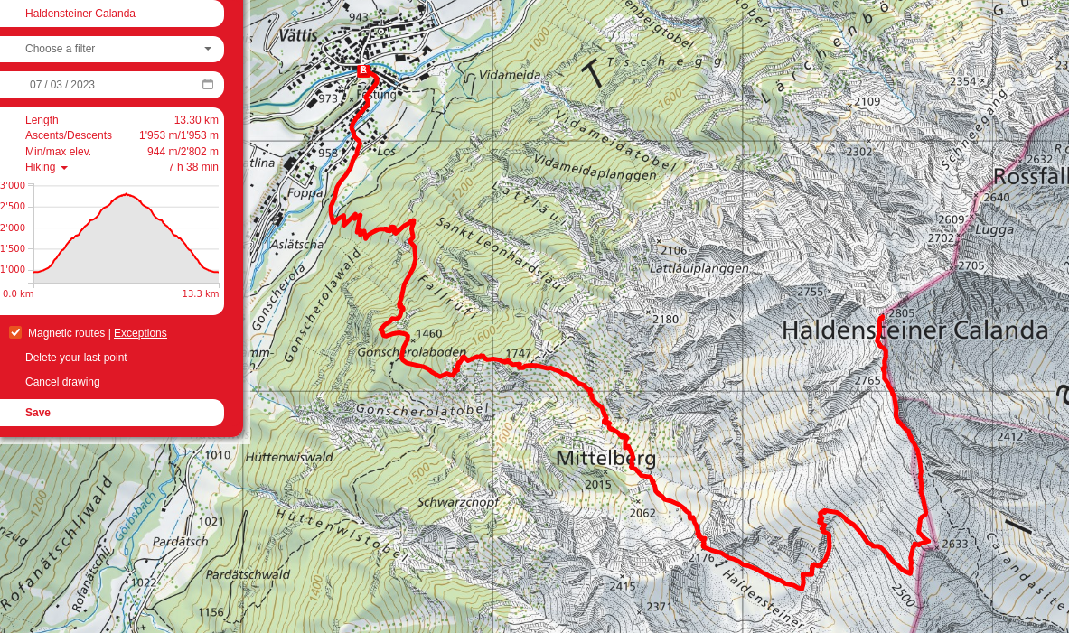
Haldensteiner Calanda
I had never gone further east before than Pizol, and so decided to hop one set of mountains over with a friend to Haldensteiner Calanda, a mountaing overlooking Chur. It was definitely a difficult hike, with 2km of elevation gain and loss over 13km, but the views (minus from the top, which was all clouds) were pretty spectacular, so no complains. As always, a group of nonchalant Swiss passed us at a breakneck speed and chatting like they were relaxing at home.
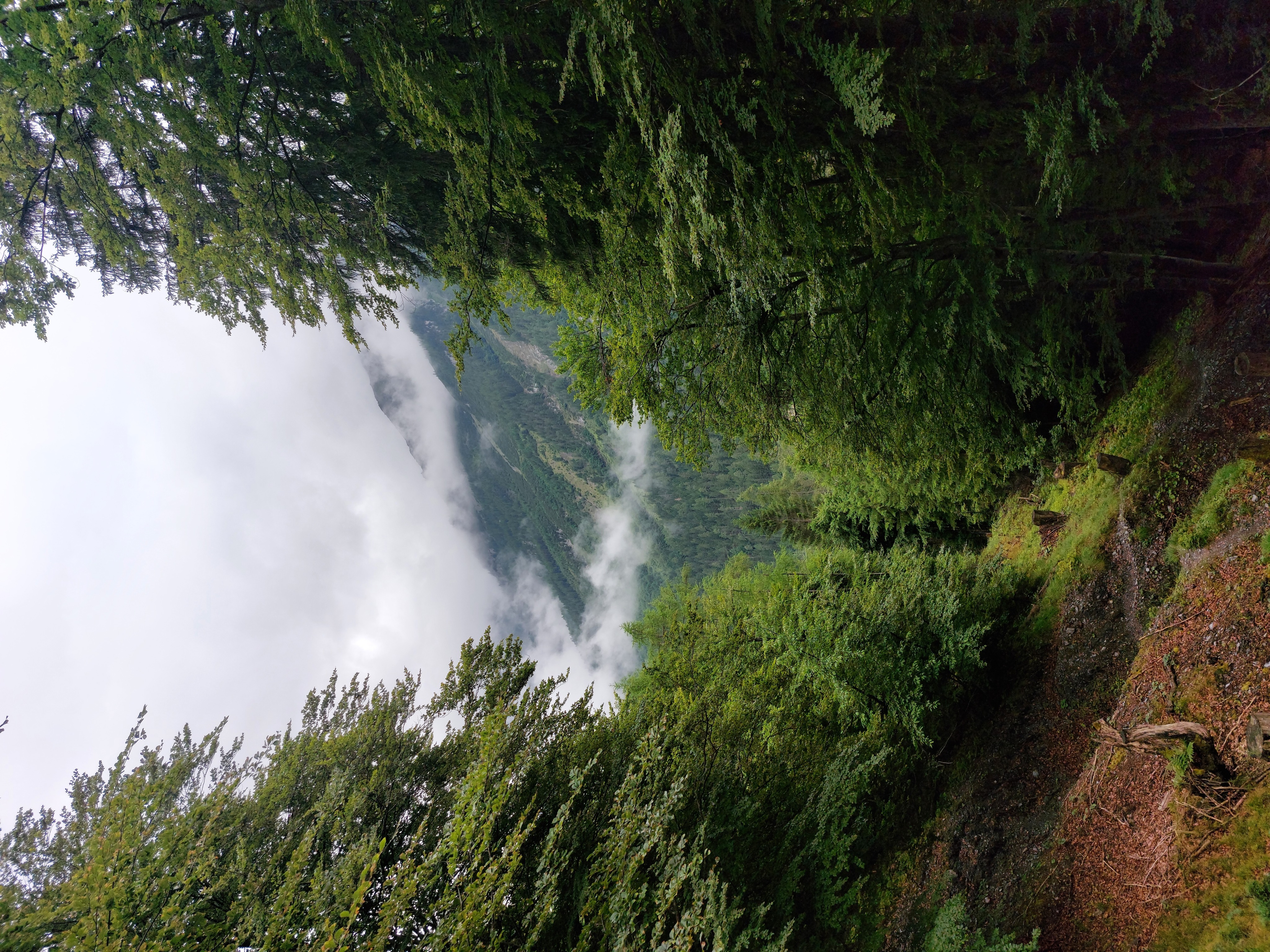
The first hour or two was straight uphill through the trees, and eventually, through the clouds.
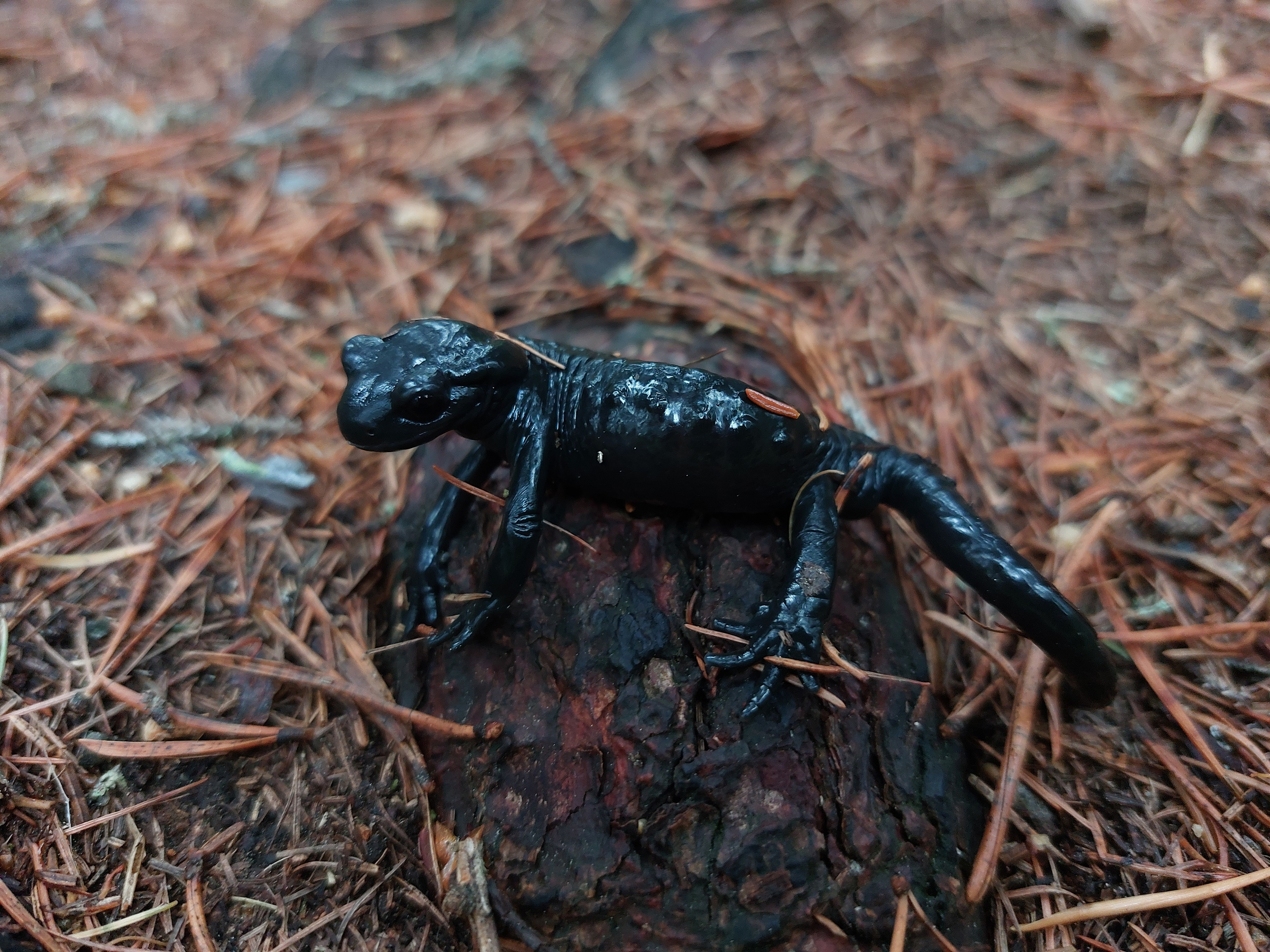
Salamander friend from along the way!
Coming up above the clouds, gosh it's pretty.
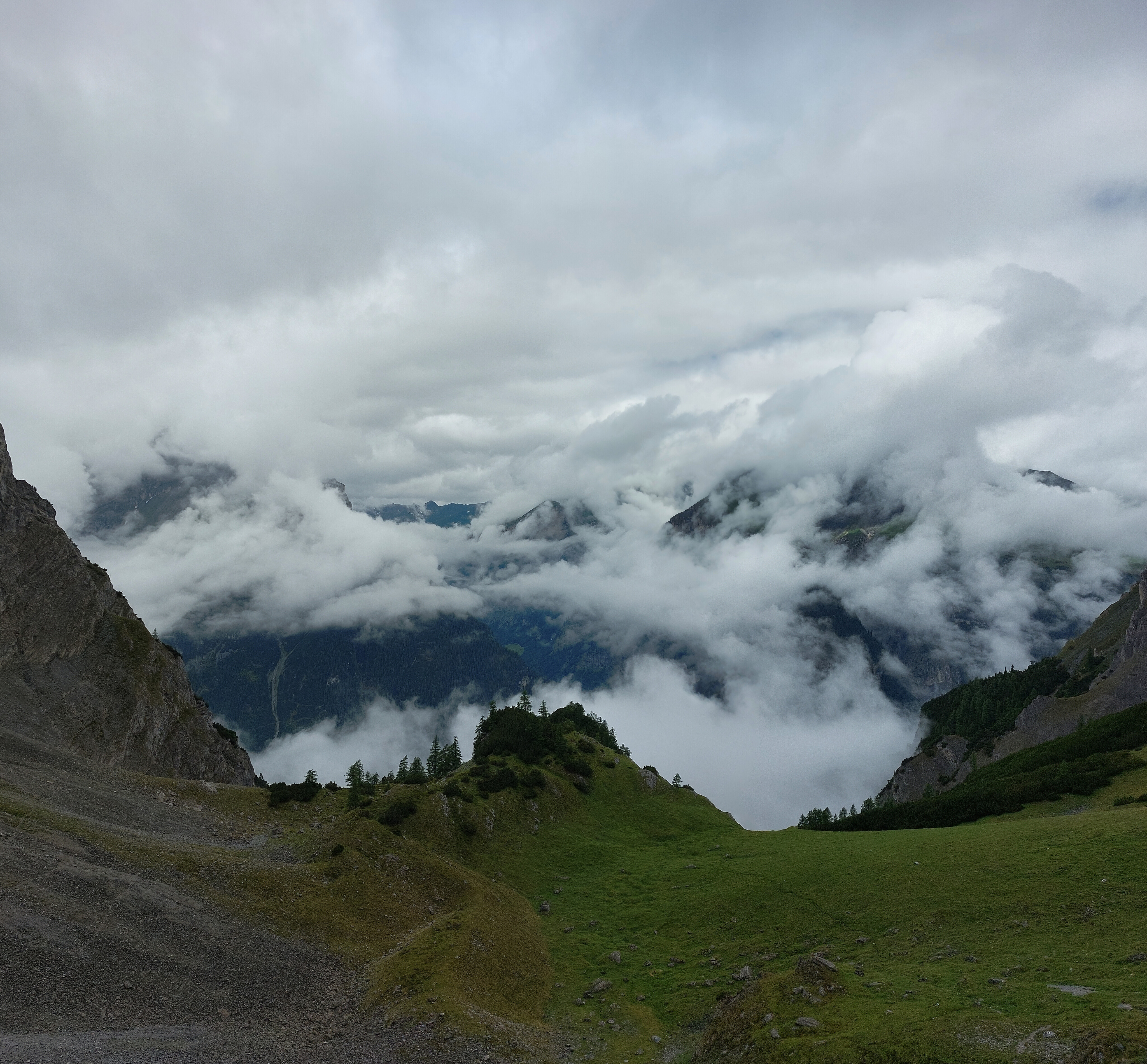
Properly above the clouds and looking back the way we came.
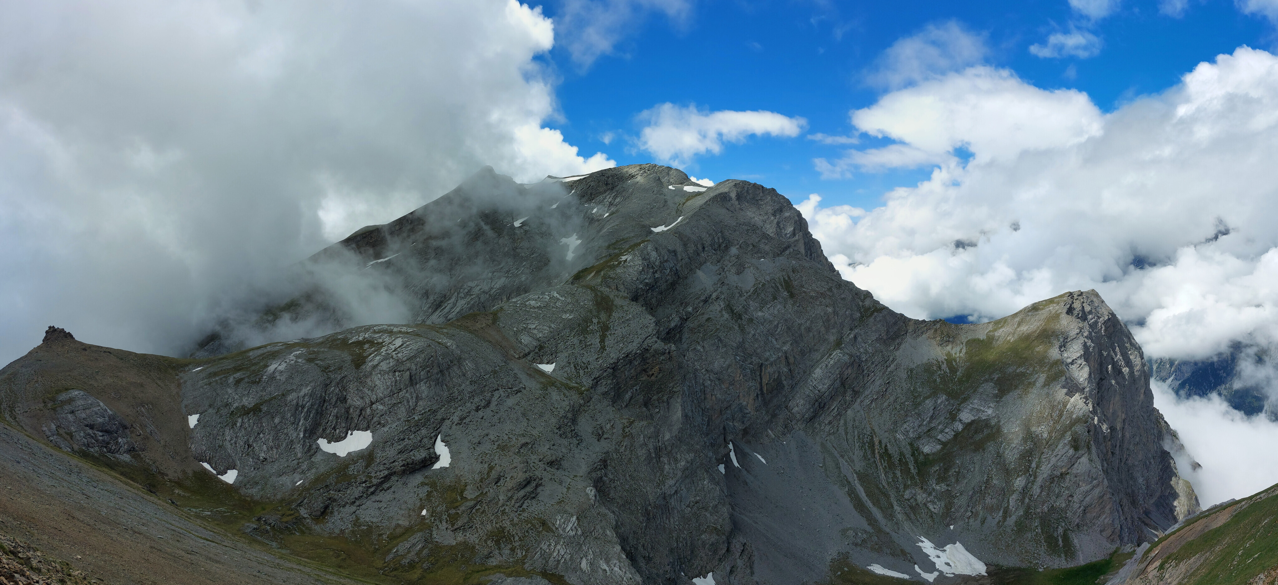
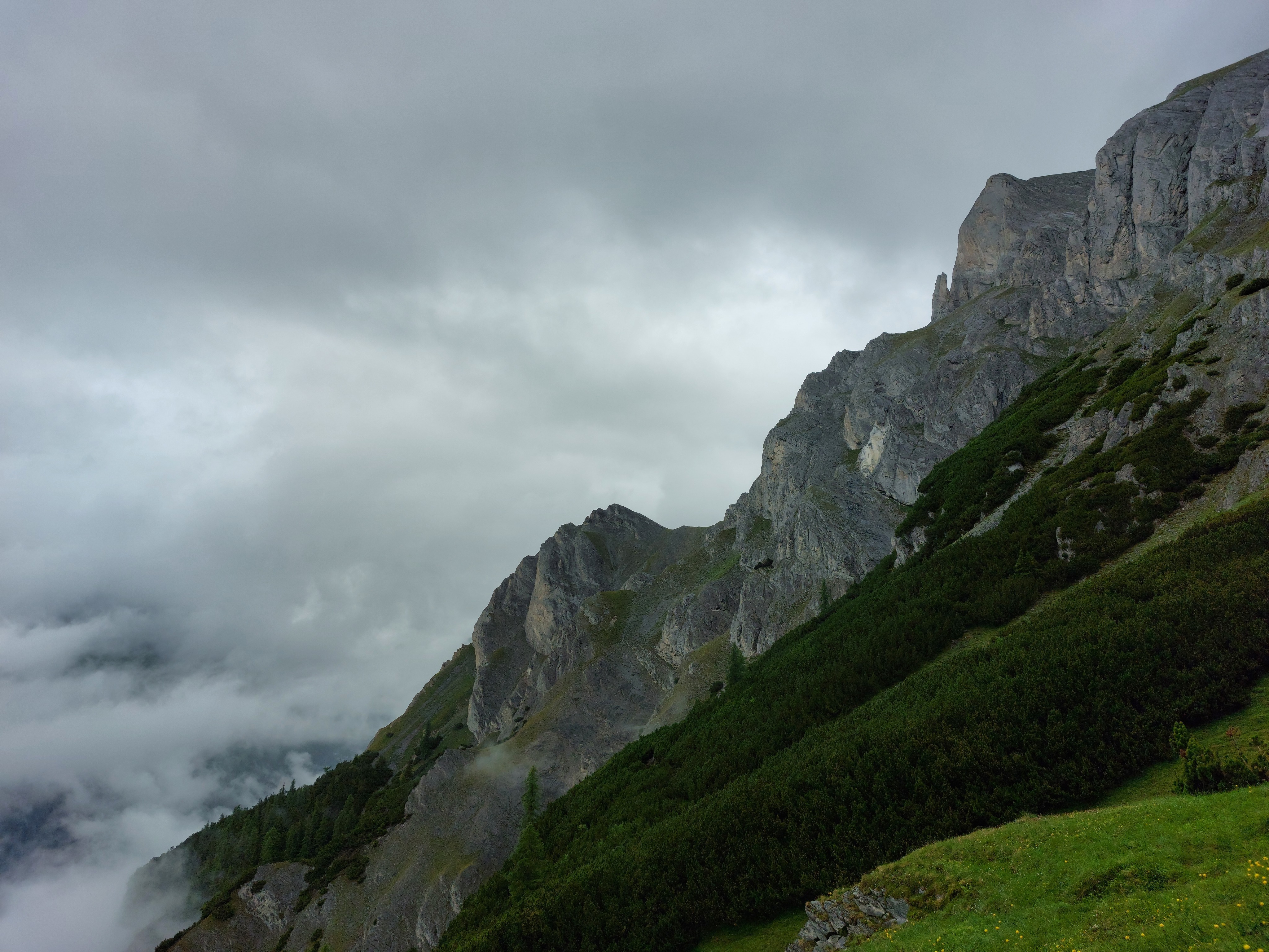
The last hour or so to the summit is across a pretty long talus field, opposite the shown peak. Then, it's a straight shot across the top ridge to the summit (not shown, since it was all in the clouds).
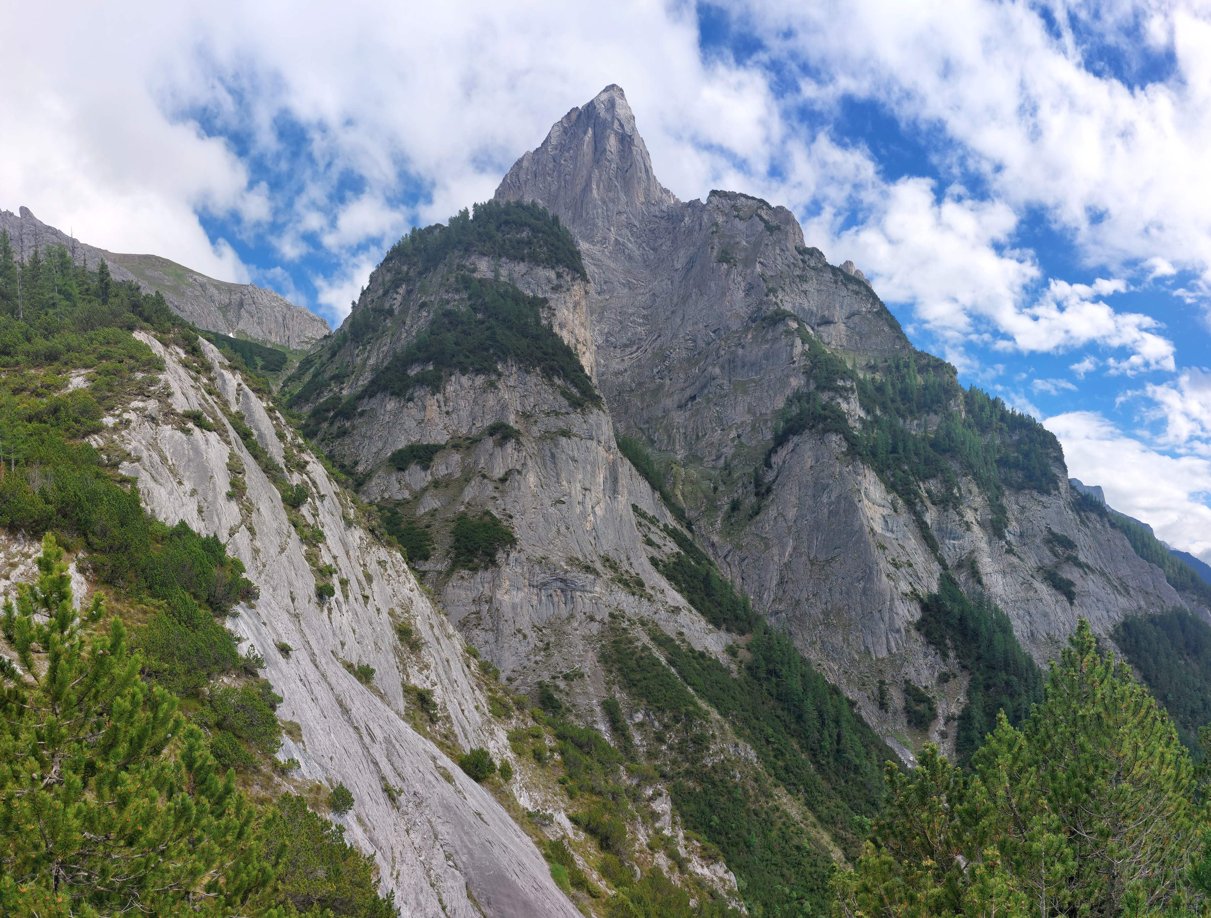
The same mountain from the previous image, but seen from below on the descent (and now visible as the clouds evaporated).
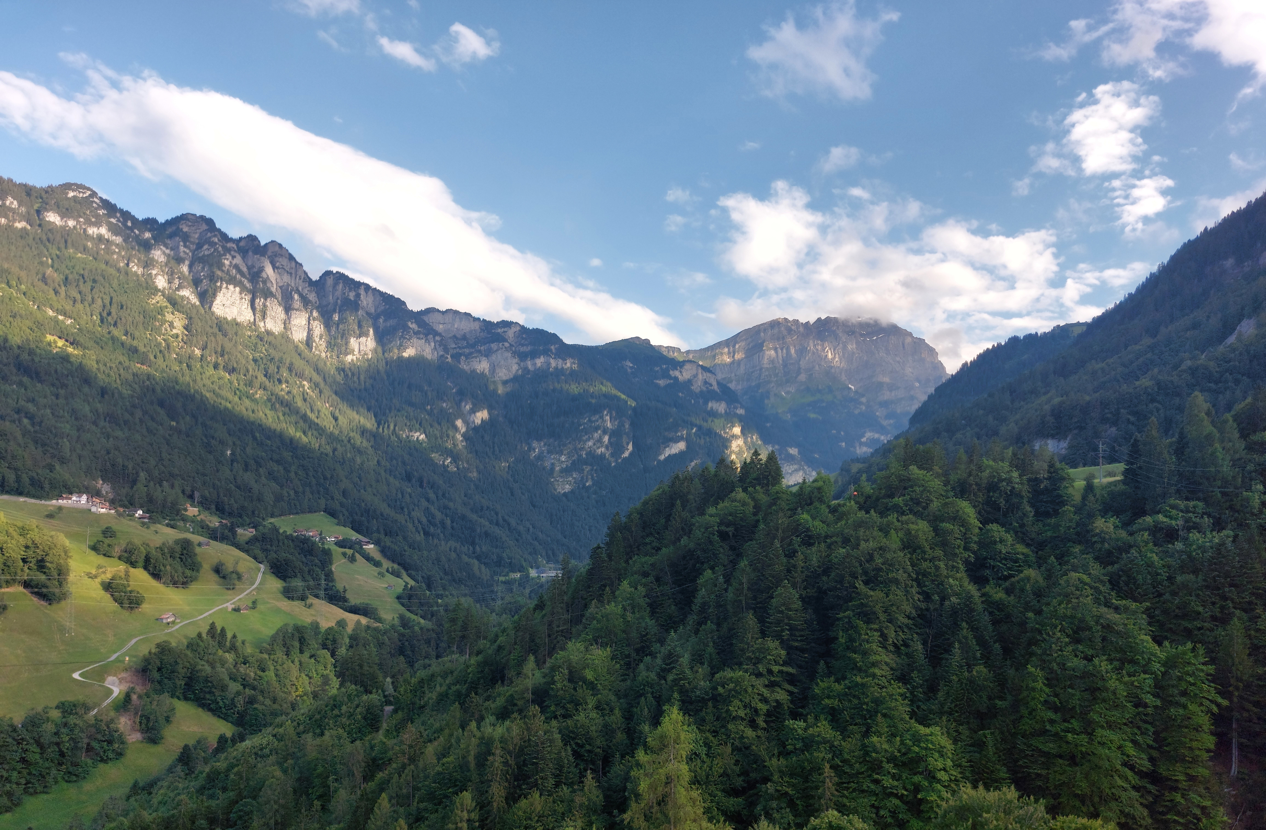
Haldensteiner Calanda as seen from the bus on the way back home.