Mineral King
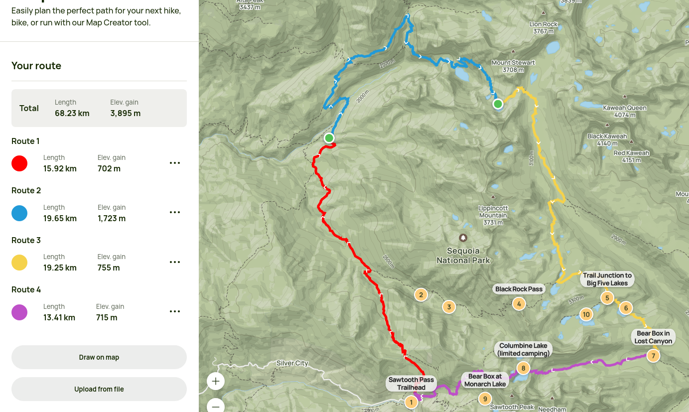
Not-so-hot on the heels of our previous failed escapade, we planned a circuit around Mineral King based loosely on the ramblings of a madman. This time, we cruised through Gilroy without a care in the world despite leaving even later in the evening than for Rae Lakes, making it to Atwell Mill Campsite (I think) around midnight. The last hour or so of the drive to the Mineral King Ranger Station was along a windy, bumpy, washboarded, pothole-y narrow road that was a lot of fun to navigate, and we managed to avoid bottoming out the Prius right up until we turned off the road to enter the campsite.
Day 1
We woke up the next morning just before 7am, made it to the ranger station at 8, and were on our way at 8:45 with some advice on how to tackle the descent from Sawtooth Pass. The first day was from the Timber Gap Trailhead, where we made our way up to its namesake from 7500ft to 9500ft before descending the northern slope of the mountain to Redwood Meadows, which earned its namesake with positively gigantic trees.

Looking back towards the Mineral King (Eagle Creek, specifically) parking lot.
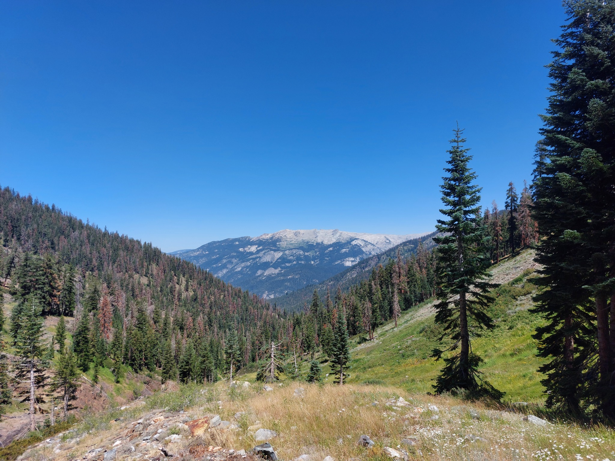
Over Timber Gap and back down again.
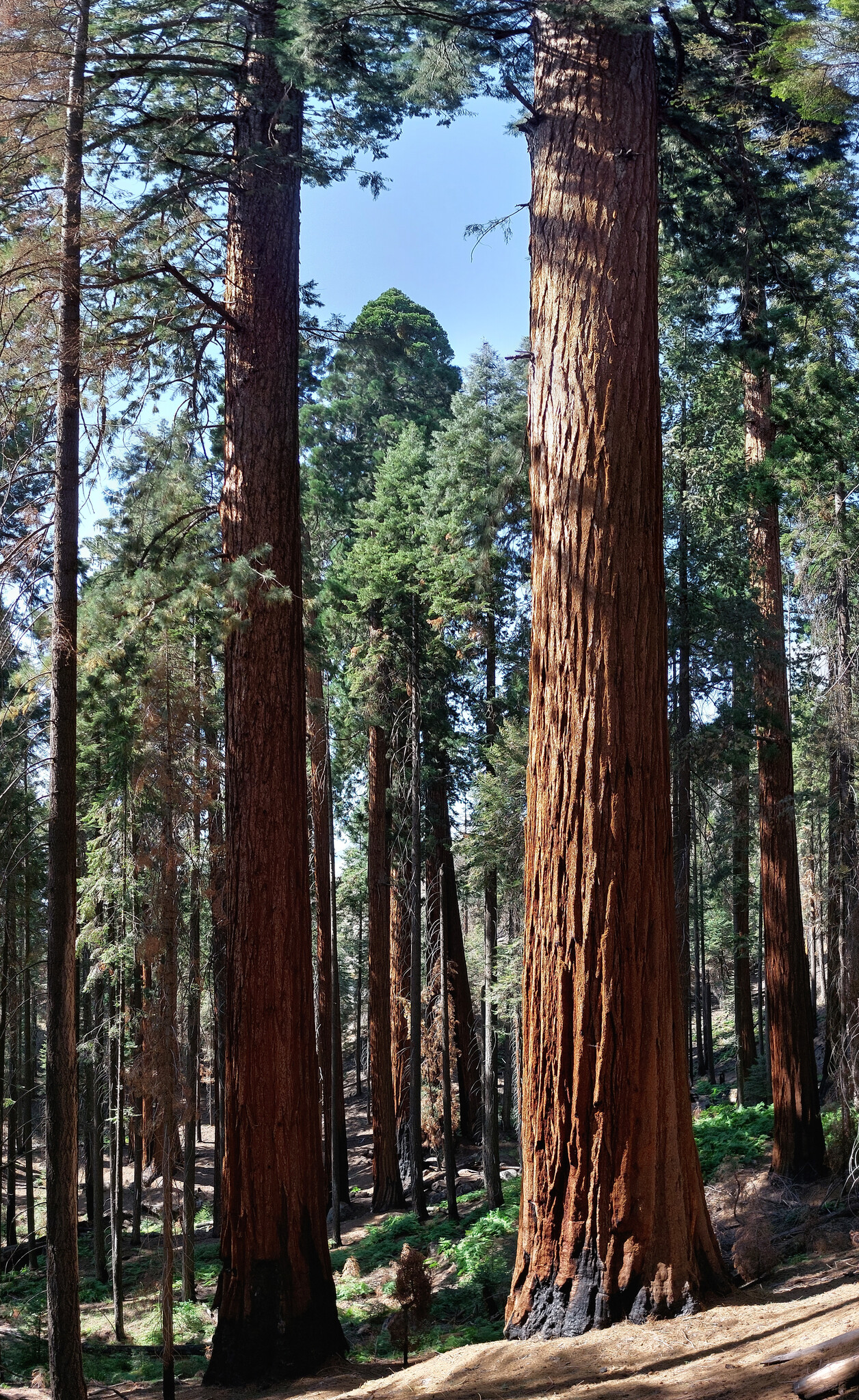
A glade of Redwoods we passed through on the way to Redwood Meadows; these were small trees compared to some of the ones we saw.
At this point, we had been hiking all day, it was 5pm, it was hot, and we were quite exhausted, presumably taking its toll, but unfortunately the nearest water source was a one mile hike off-trail down to Cliff Creek. With the closest thing to consent we could get from some rangers staying there, we continued to Eagle Scout Creek, where a lovely little (pre-trampled) clearing awaited us for the night.
Day 2
The next morning was an all uphill tramp to Bearpaw Meadow, where we were greeted by another fortuitous surprise; an outhouse! Where we could leave our toilet paper! There were also fun facts on the walls and information about nearby points of interest. Overall, the most luxurious bathroom experience I've had while backpacking so far.
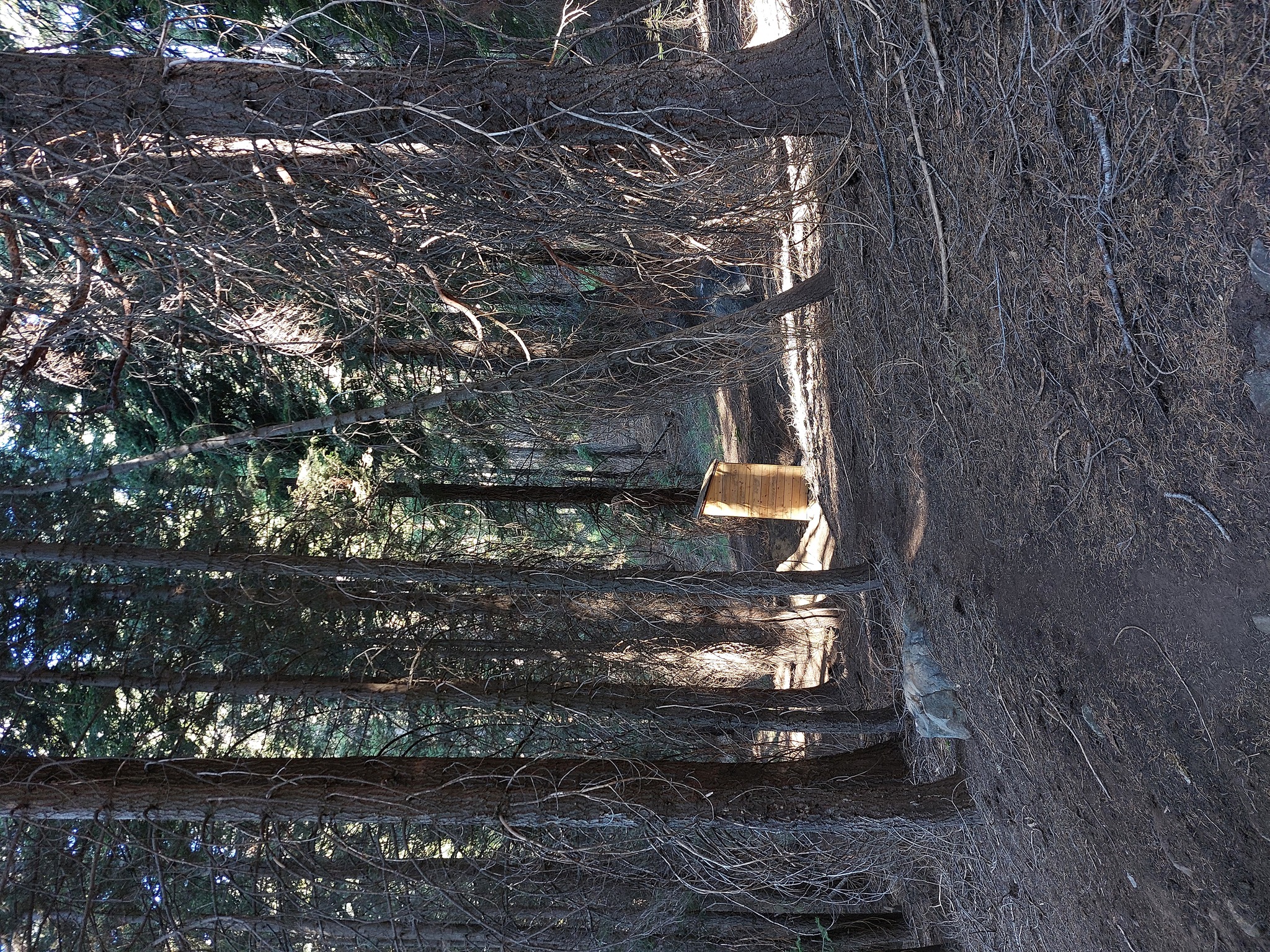
The magical outhouse.
Post-euphoria, we made our way to Hamilton Lake, which took about three hours, and when the views really started to open up.
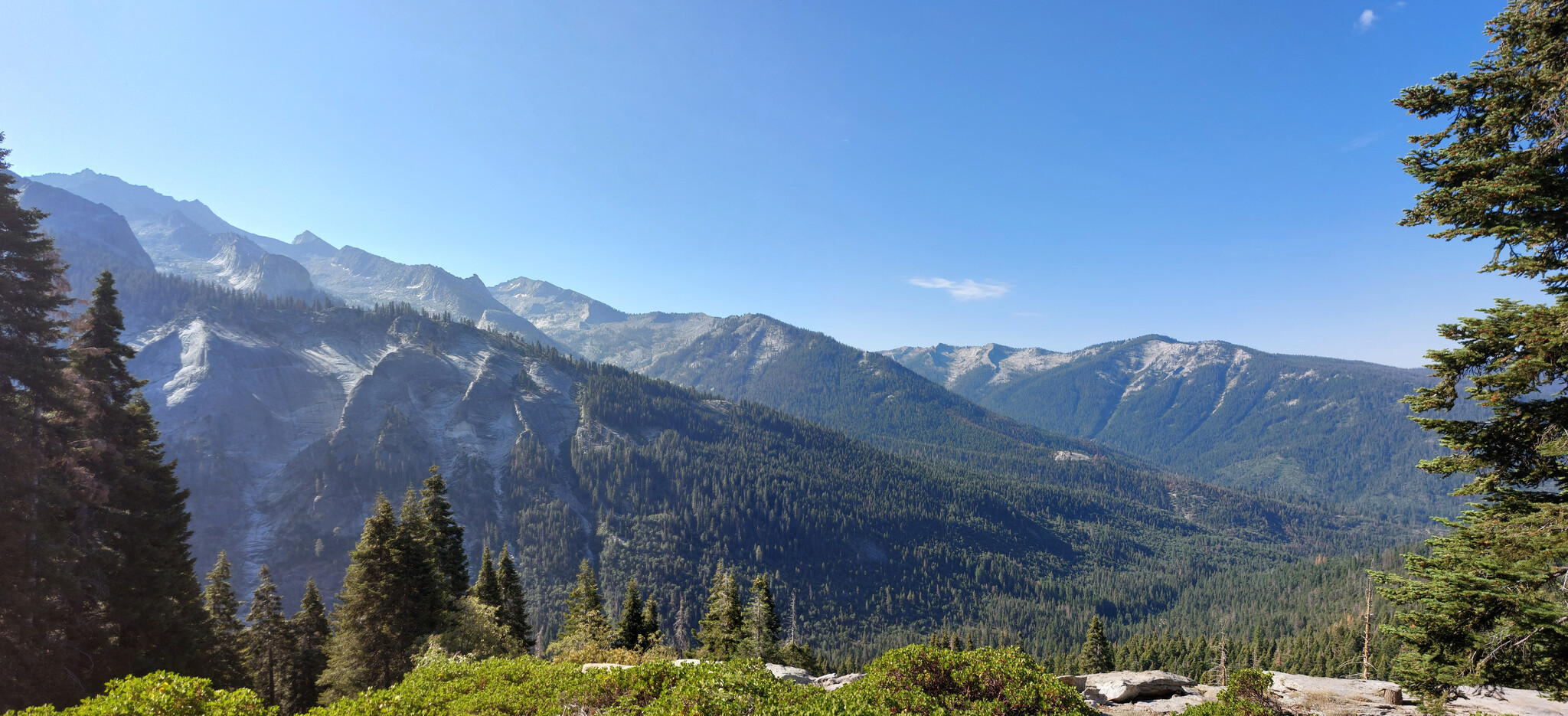
Looking south from Bearpaw High Sierra Camp; we came down from the left-most valley the evening before, I think.
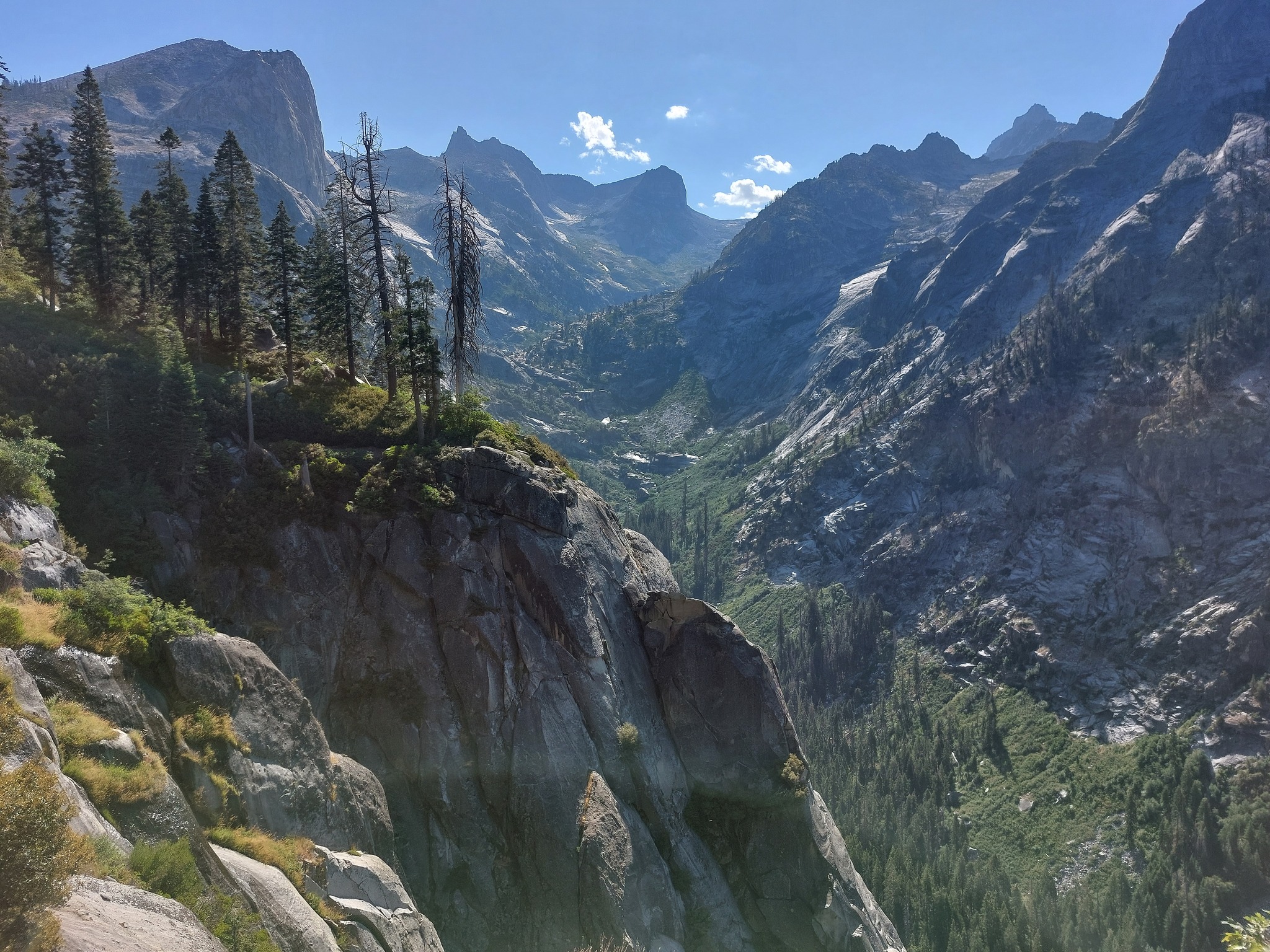
On our way towards the High Sierra Trail/Hamilton Lake.
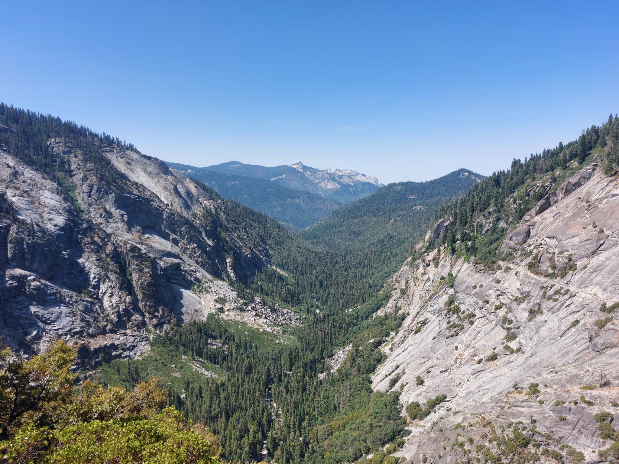
Looking back from a little further along the trail.
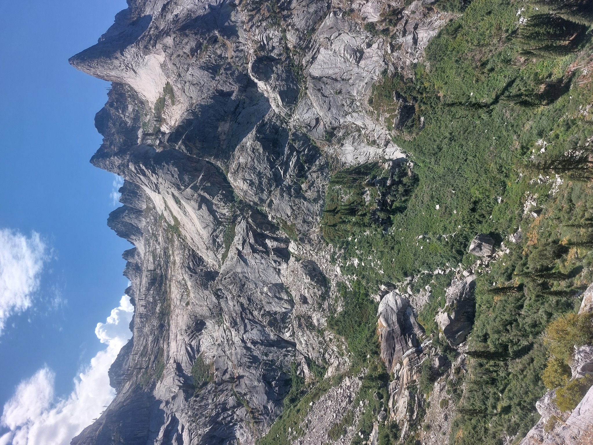
Funny mountain shapes.
We watched some lizards sunbathing, stopped for lunch, then continued up to Precipice Lake. All uphill and absolutely beautiful was a recurring theme for this trip.
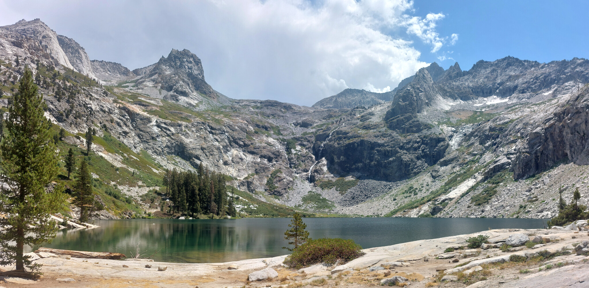
Hamilton Lake; the way up switch-backs up the left side of the lake and ends at the base of the tallest mountain on the right, above the waterfall (which comes out of Precipice Lake, I think).
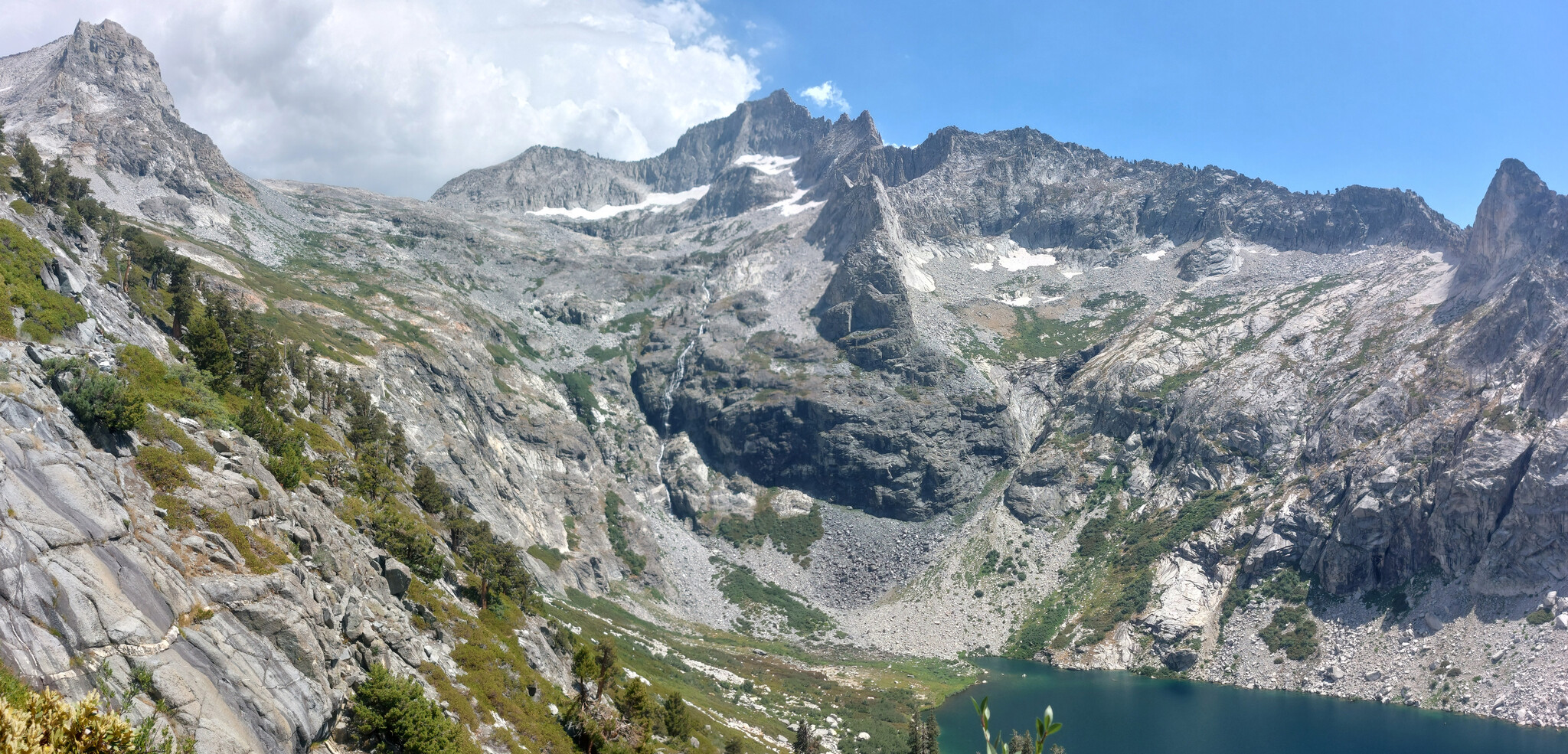
From a little higiher up; the light and dark rock wall of Precipice Lake is starting to become visible above the waterfall. Sorry for the blur, somehow this isn't just a panorama artifact, but also shows in the original 4:3 images.
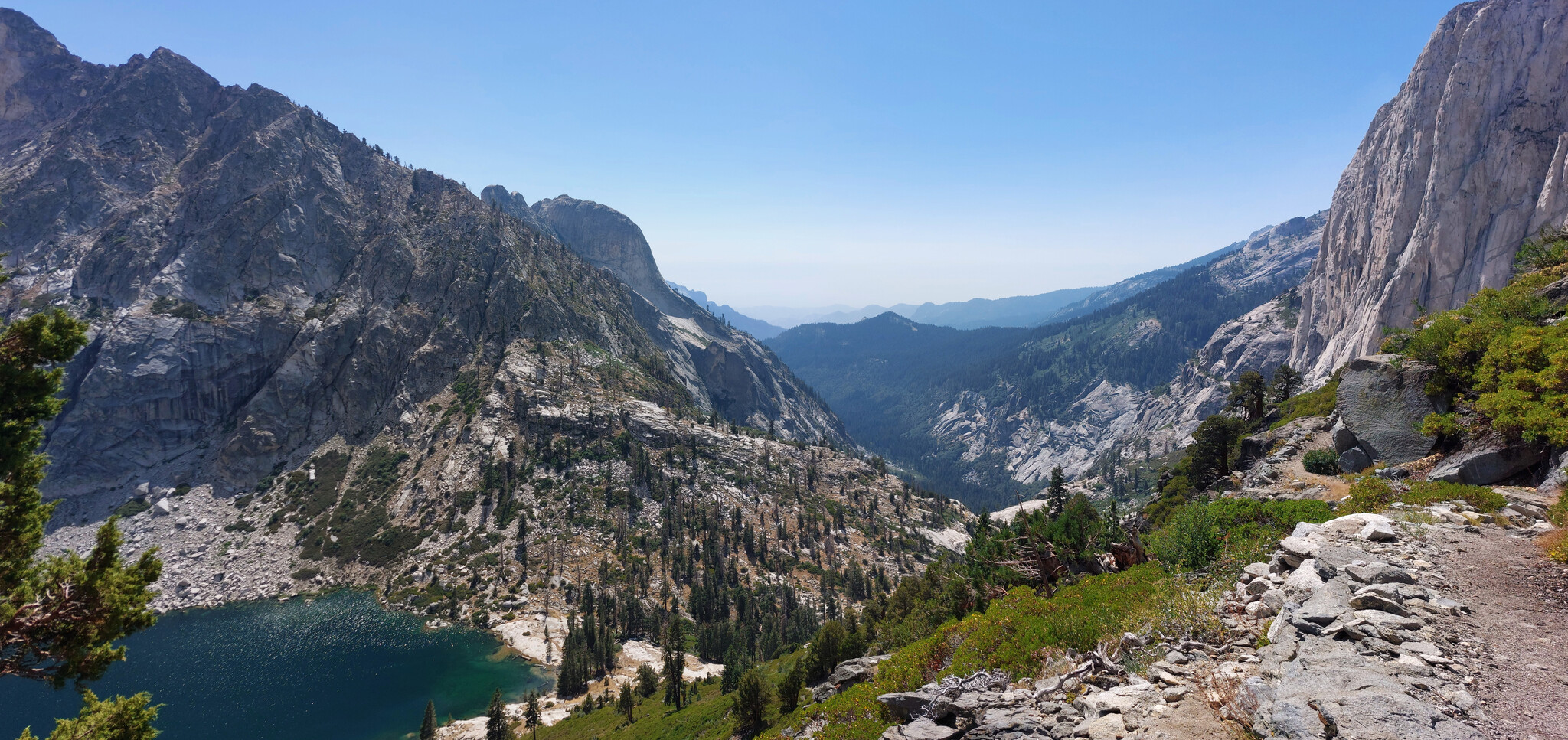
Further up the switchbacks, Hamilton Lake on the left, and the trail we took from Bearpaw Meadow just visible cutting through the rocks in the distance.
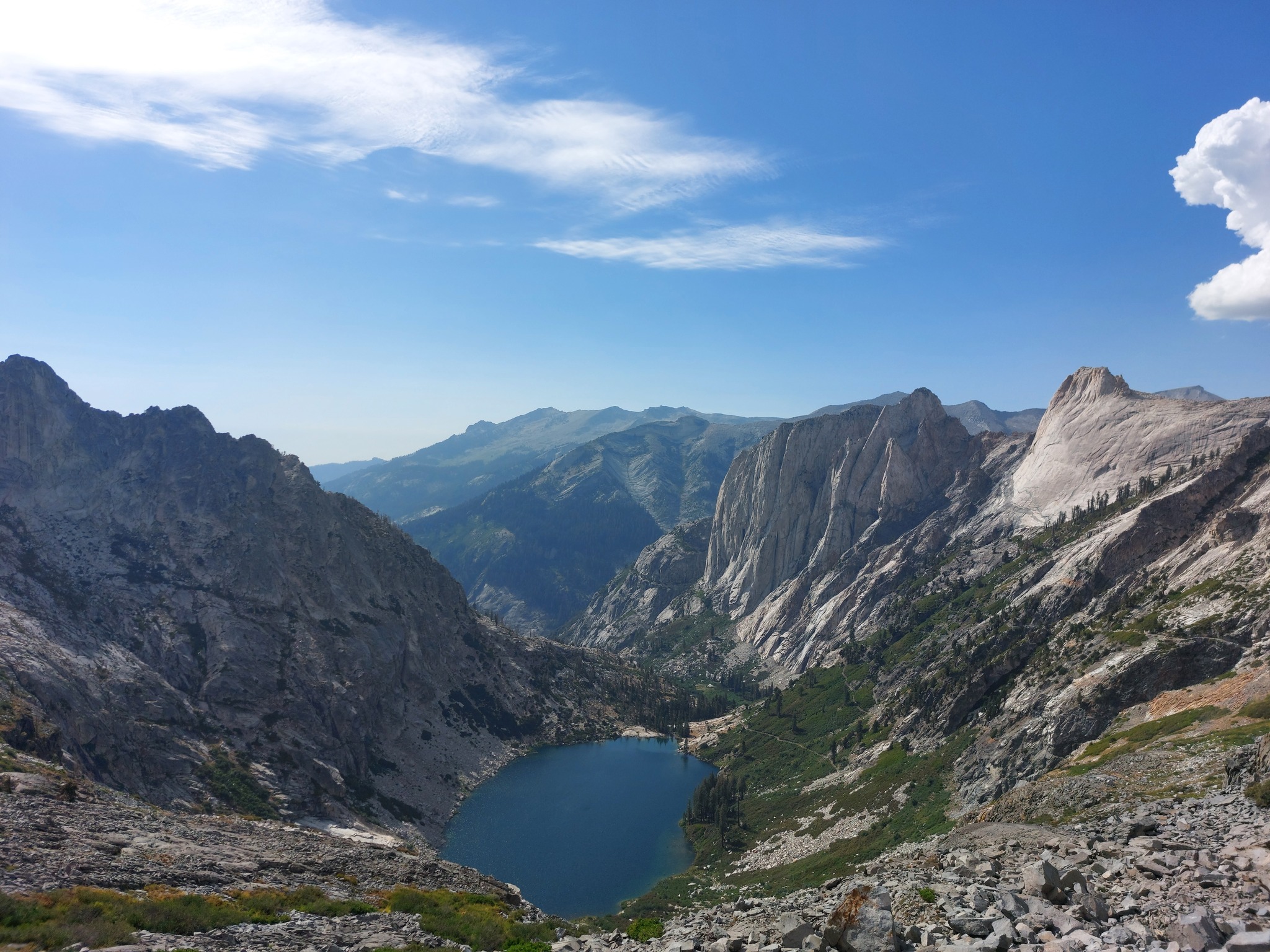
Hamilton Lake from above; the switchbacks up took us probably an hour or two alone.
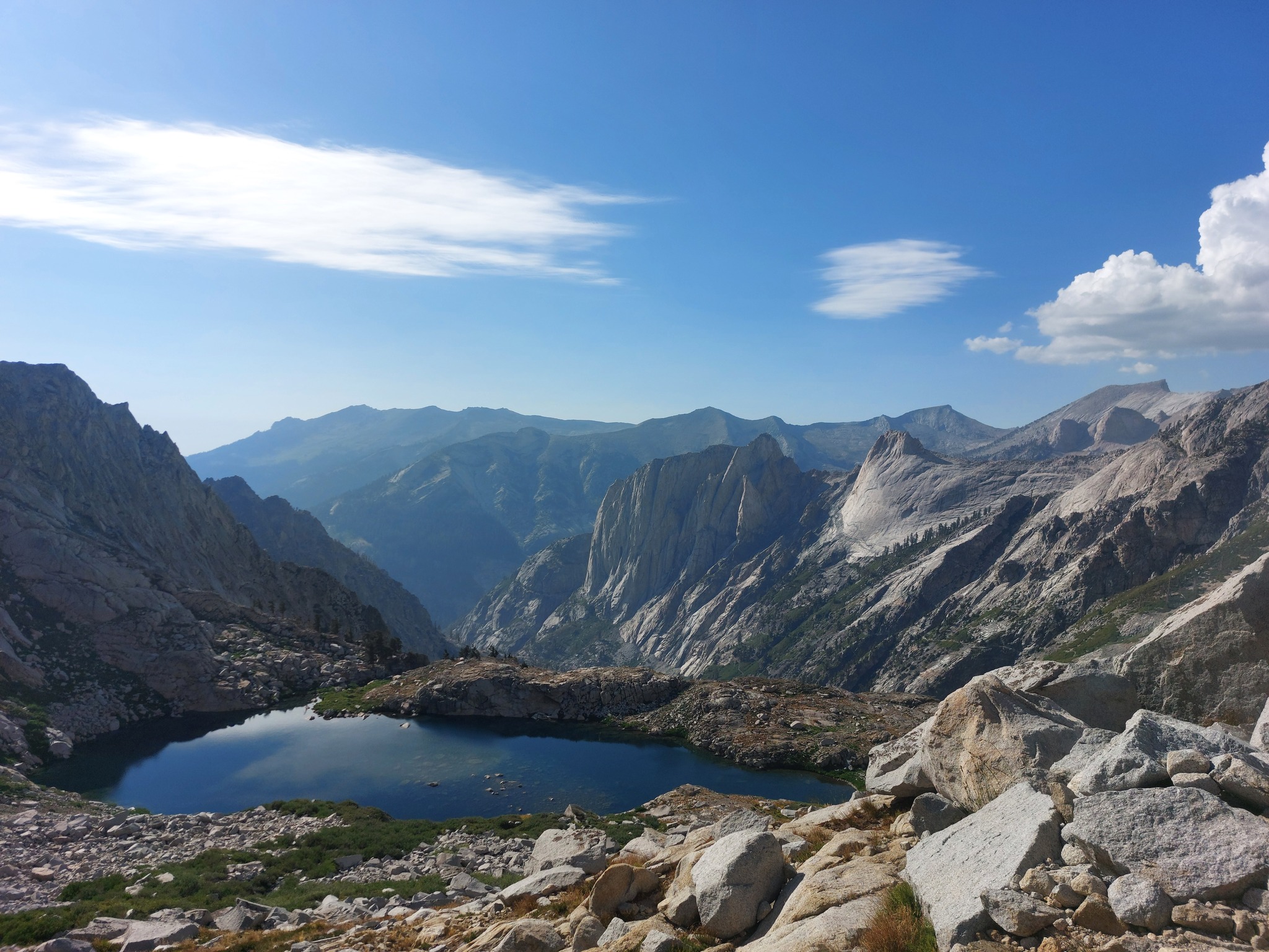
Small unnamed pond below Precipice Lake, more background mountains visible as we climbed the last few hundred feet.
We took a quick dip at Precipice Lake, took the mandatory Insta-worthy shots, made some grub, and fell asleep to a sky full of stars and near silence.
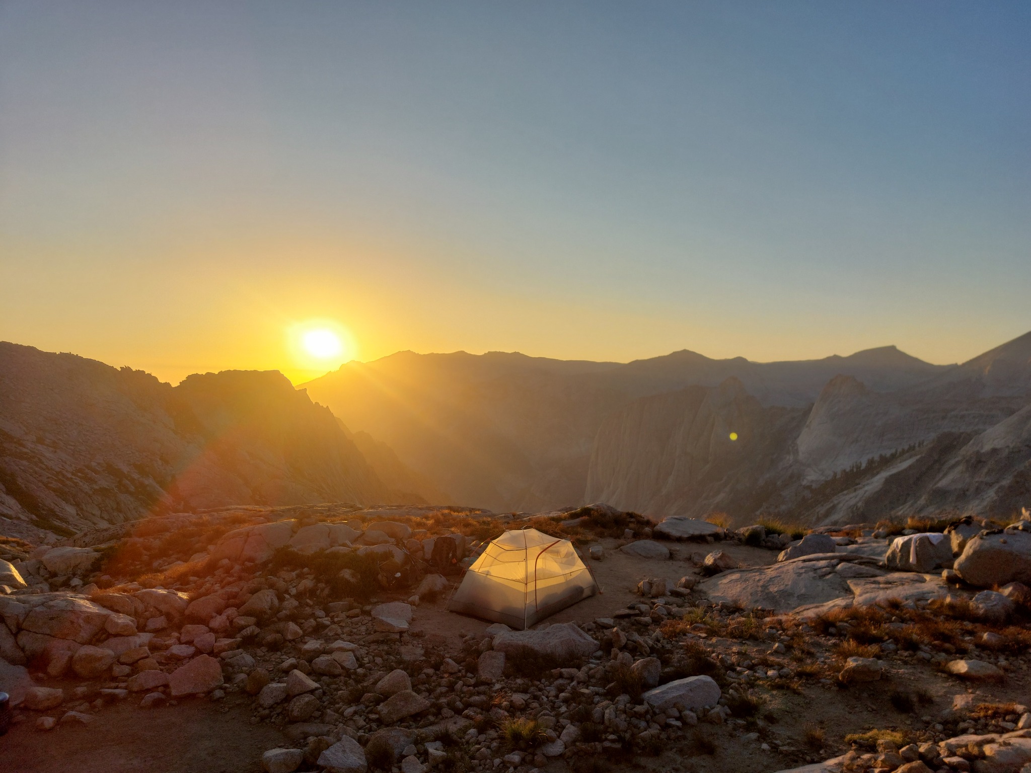
Our campsite beside Precipice Lake. I love being able to set up a tent without a fly without worrying about being rained on, and getting nice views of the night sky. No website-worthy pictures of Precipice Lake, sorry!
Day 3
Day three found us entirely in the High Sierras, making our way along the High Sierra Trail through a very pretty swoopy valley with lush meadows, gurgling brooks, and small copses of alpine trees, before turning up towards Little Five Lakes, then a detour to Big Five Lakes, and finally down to Lost Canyon Creek for the night.
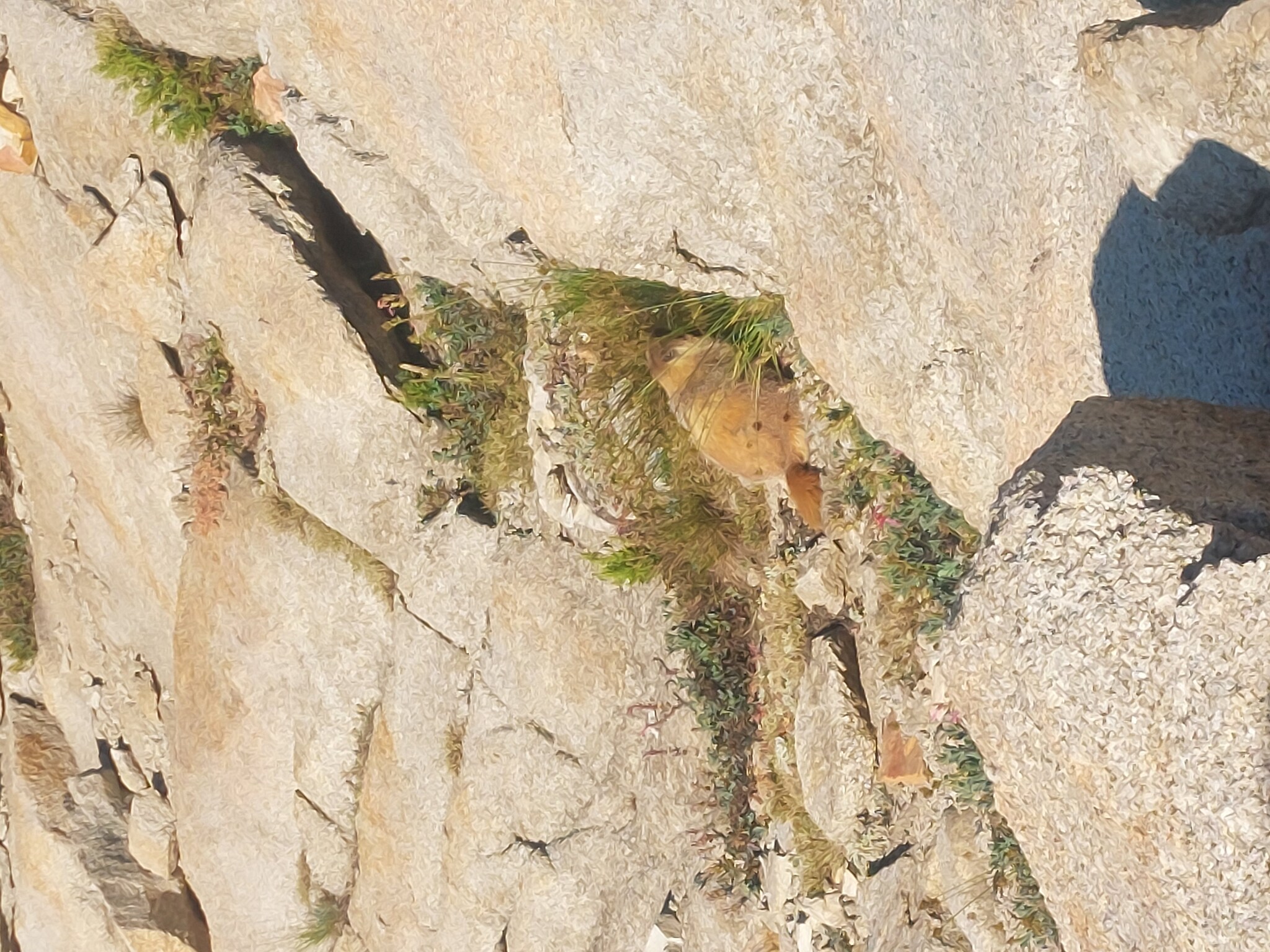
Marmot friends! We were told by a couple backpackers (we didn't pass very many up here) that earlier in the season, they would eat tent ropes, clothing, car undercarriages, just about anything! Thankfully, we missed that mess by a couple weeks or a month. We also saw some Pikas (insipiration for Pikachu, I think).
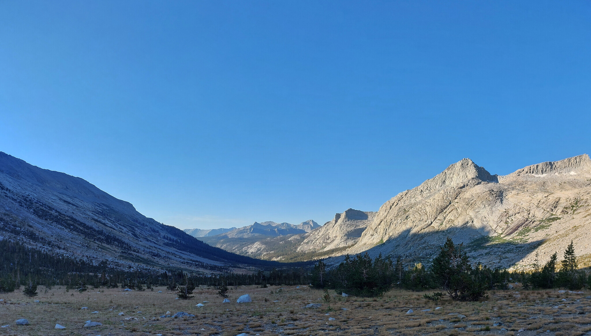
I'm not sure if this valley has a proper name, but it's the one Big Arayo passes through and I love it so. High elevation, swoopy, little clumps of trees and meadows, what more could I ask for?
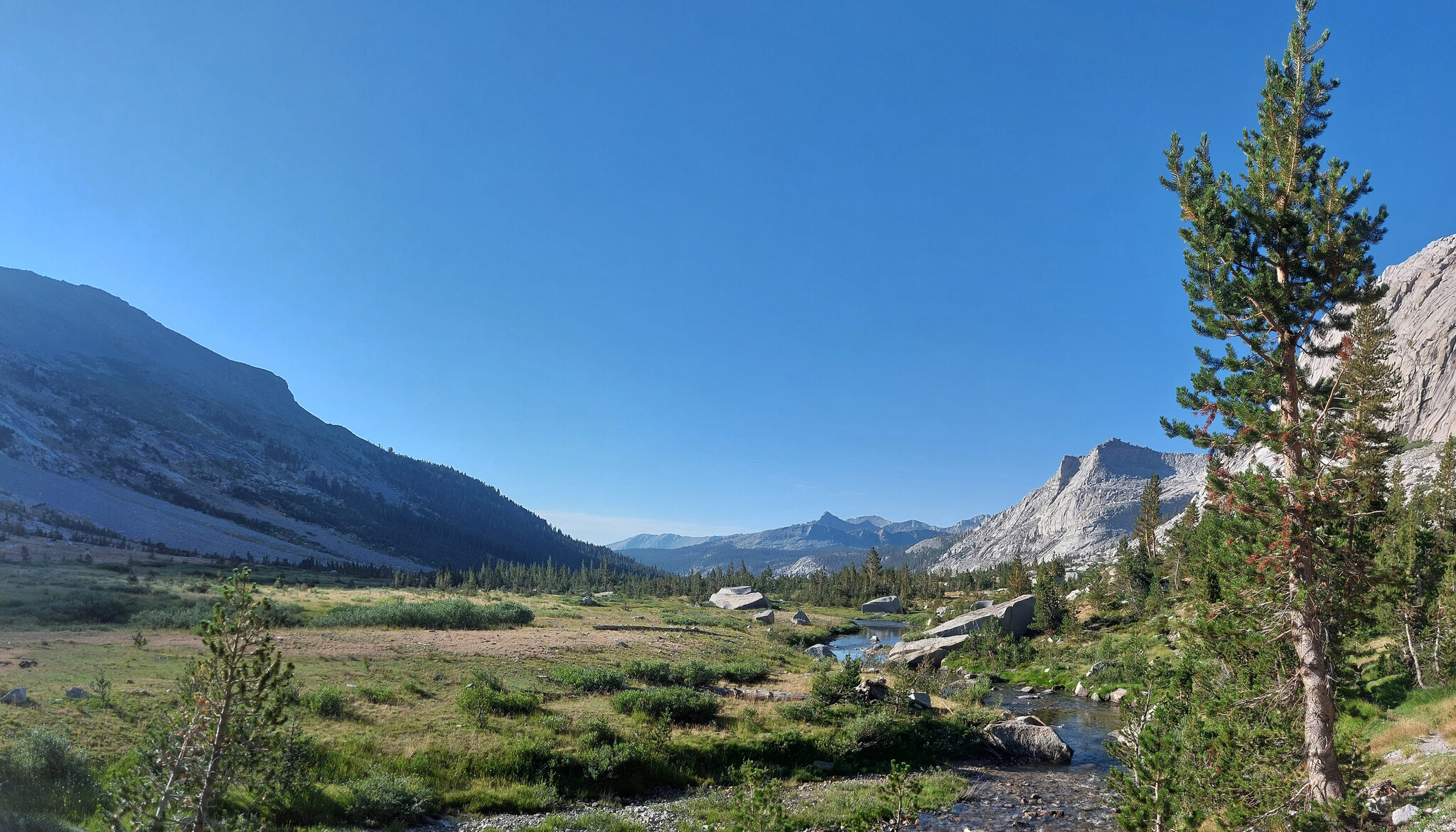
Gosh I love this valley.
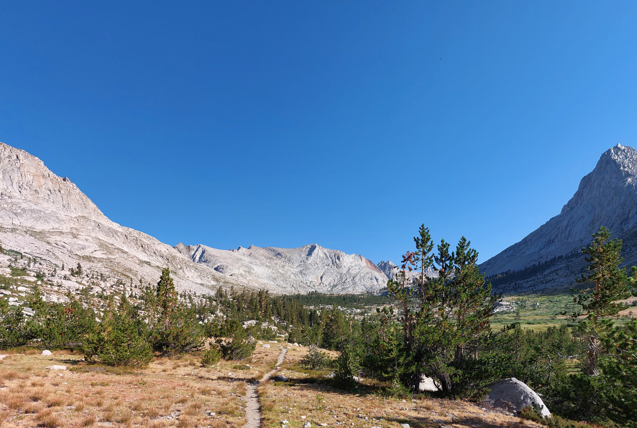
Looking back the way we came, Kaweah Gap somewhere behind the left-most mountain.
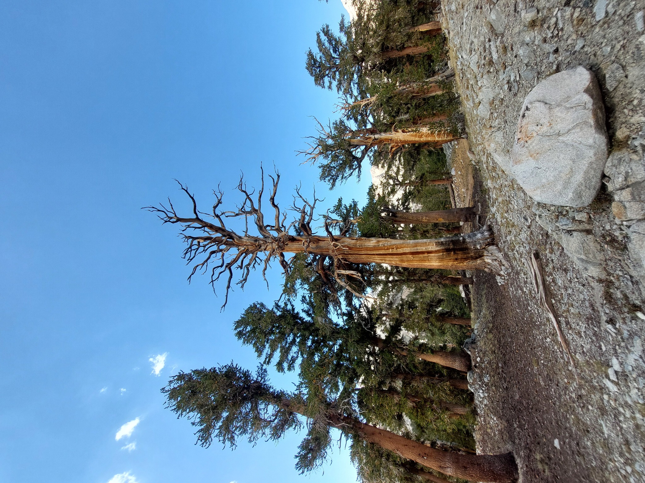
The Sierras are chock full of bare trees like this, I wish I had more pictures of them.
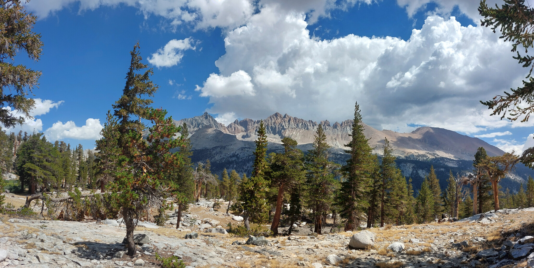
Looking towards the Kaweah mountains from the trail up to Little Five Lakes.
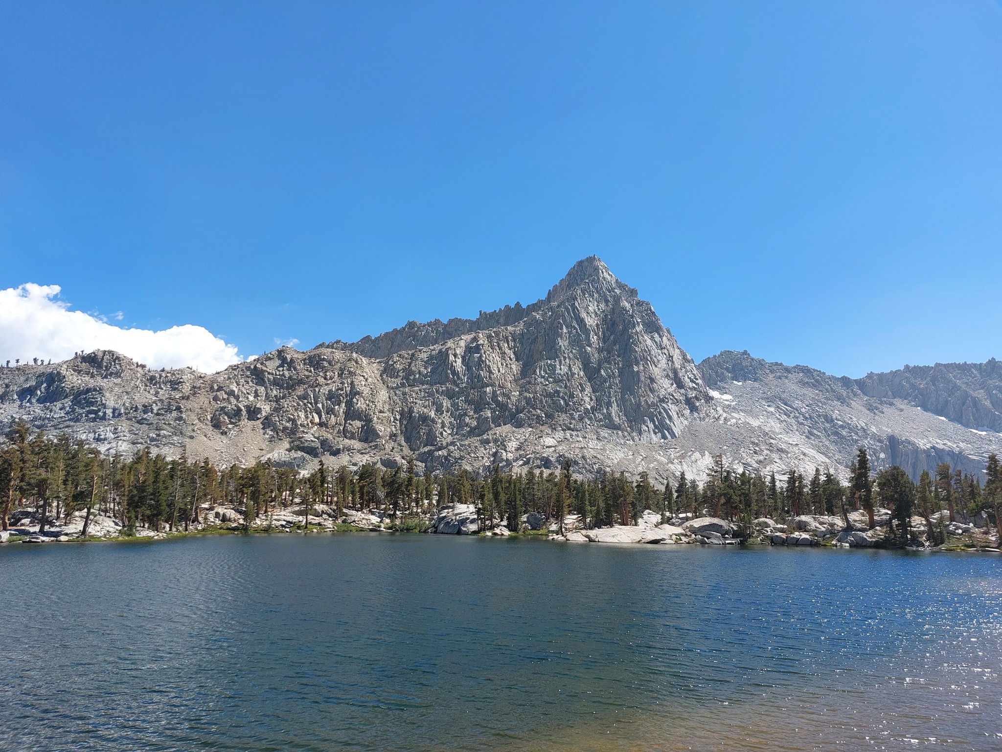
AllTrails doesn't have this mountain named; it's the one south of Big Five Lakes. We thought it was Sawtooth Peak for a hot minute, then realized we still had another ridge to cross over before getting to our campsite for the night.
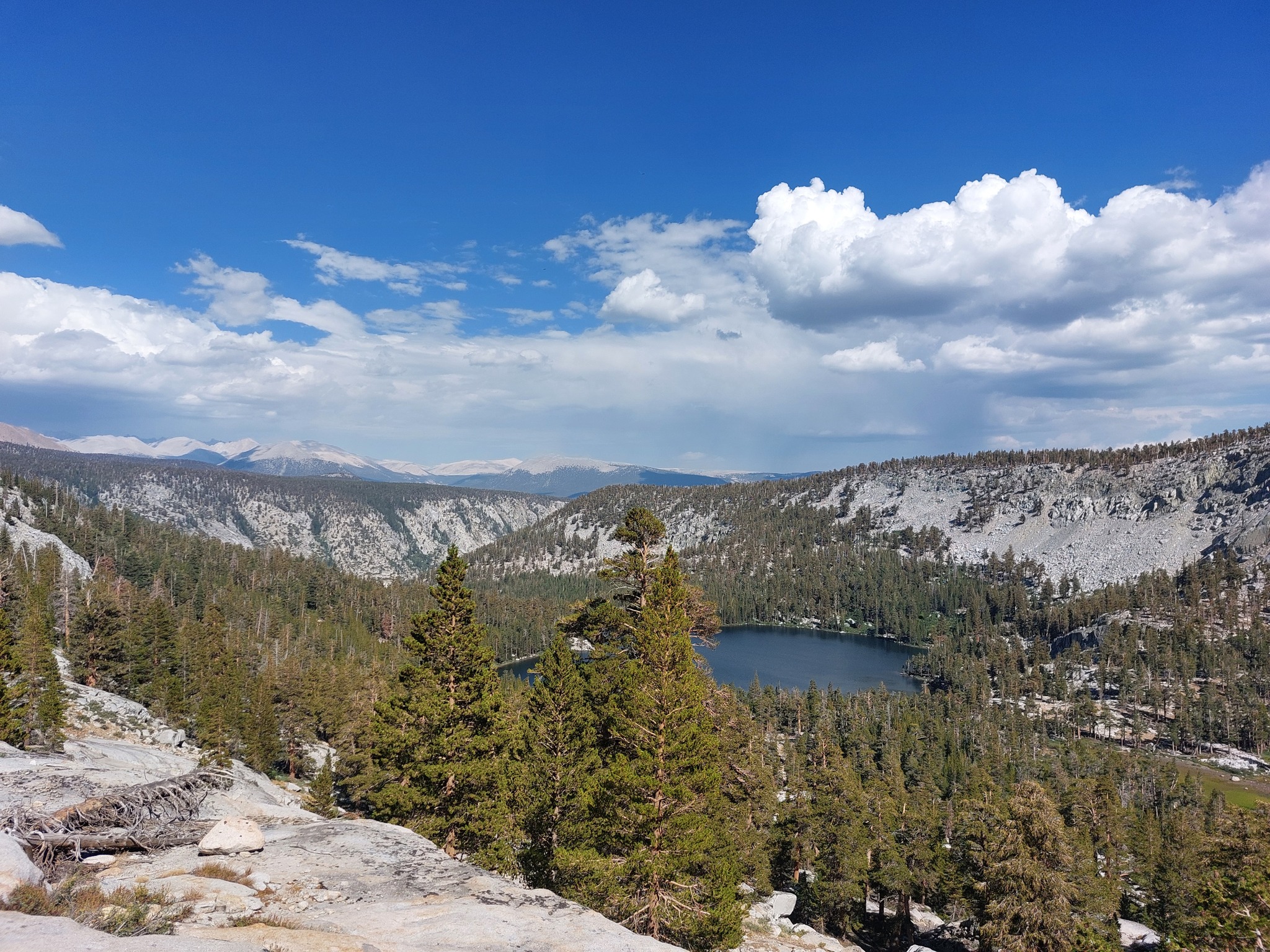
The lowest of the Big Five Lakes, eastern Sierras in the background. The trail descends to that lake, then crosses, it, then back up the ridge on the right, and finally back down to the campsite at Lost Canyon Creek.
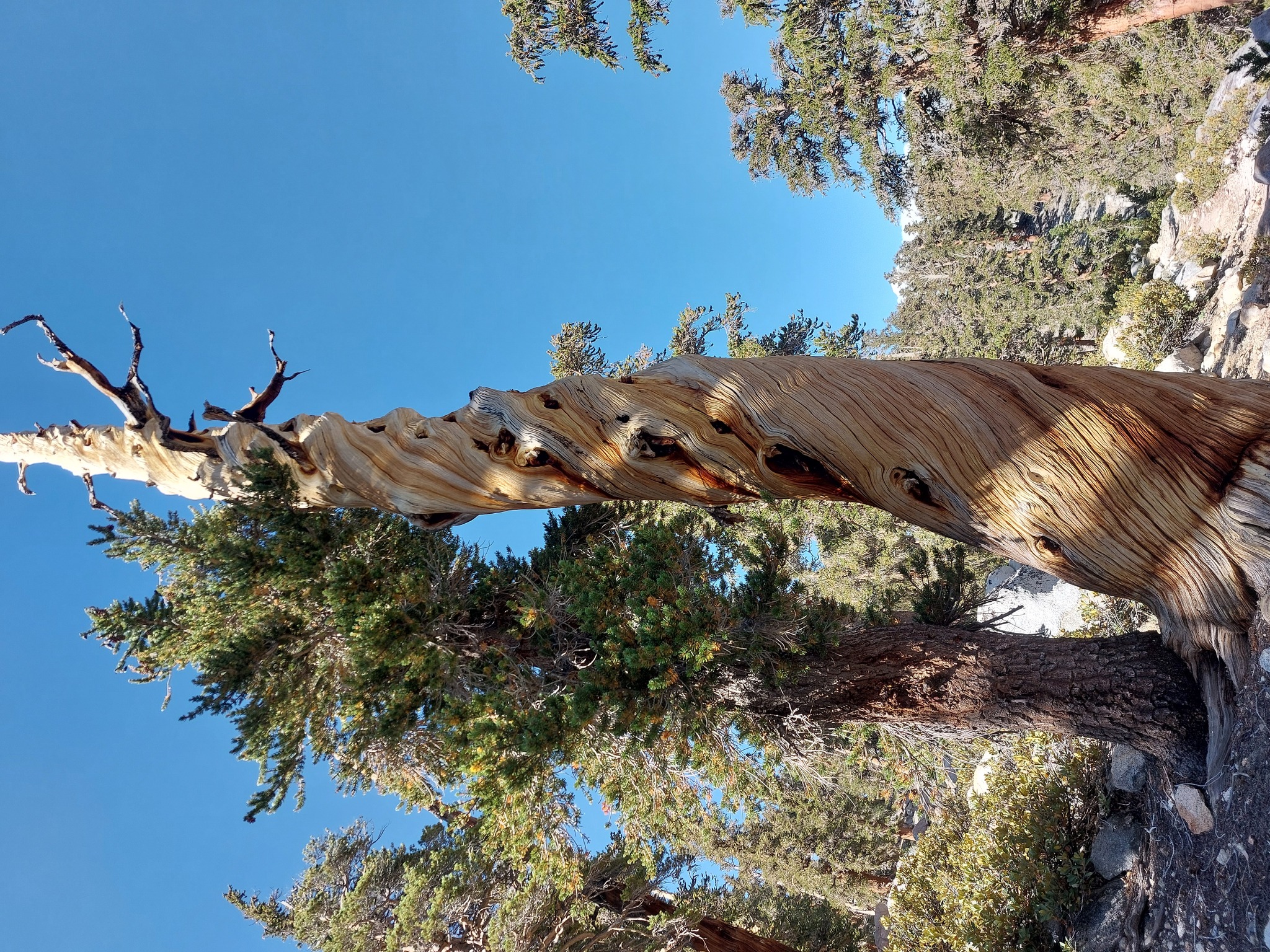
More fun trees!
Day 4
The next day was up through Lost Canyon to Columbine Lake, over Sawtooth Pass, down the other side, and to Monarch Lakes. The ascent felt never ending, but Columbine Lake was beautiful, and Sawtooth Pass sets what I think is a new altitute record for myself (after making a brief detour to North Sawtooth Peak to add some extra meters and get a good look at Black Rock Pass). We could also see what I thought might be Los Padres National Forest way off on the horizon poking out of the haze.
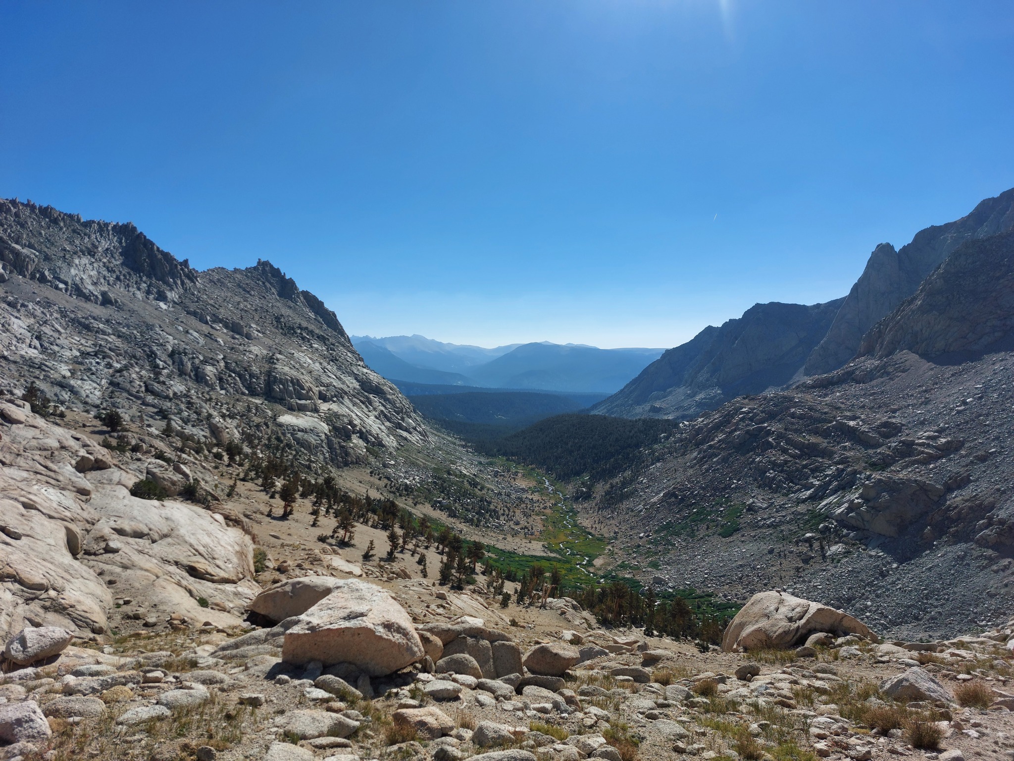
Lost Canyon from partway up the switchbacks to Columbine Lake.
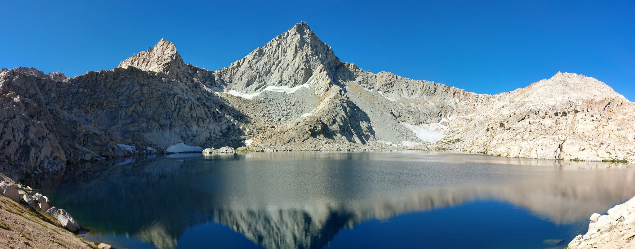
Columbine Lake; I get why the people wanted to camp here, and why rangers had to bar it as a preventative measure. We stopped here for lunch, then continued up to Sawtooth Pass, which is near the saddle on the right-hand side of the image. It doesn't look all that far, but like always, everything looks smaller on camera, relatively smaller in person, and takes way longer when you try it.
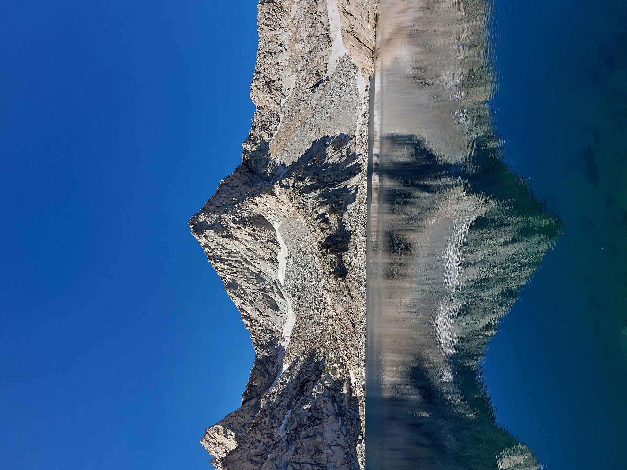
Sawtooth Peak behind Columbine Lake.
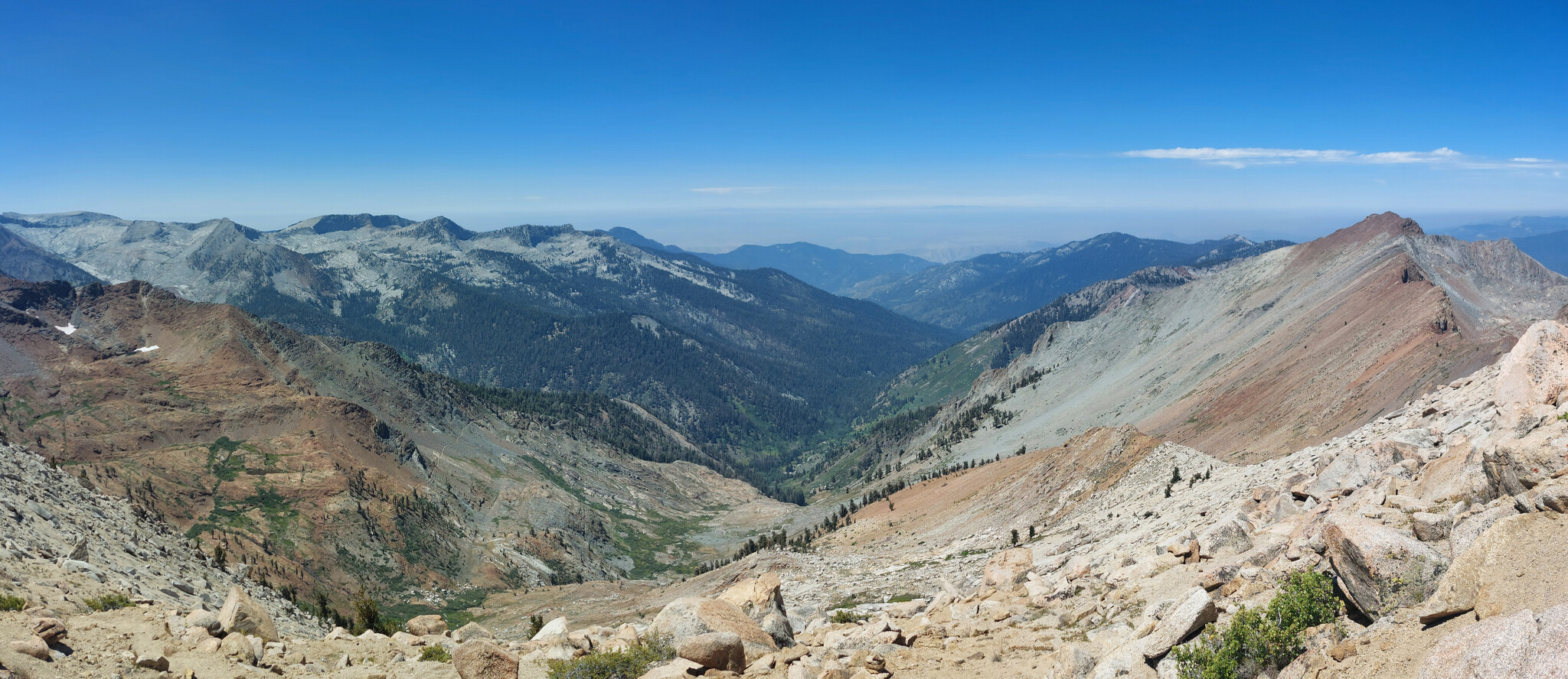
The view south of Sawtooth Pass, the trail back down, and the parking lot. The dark bumps on the horizon are perhaps Los Padres Park?
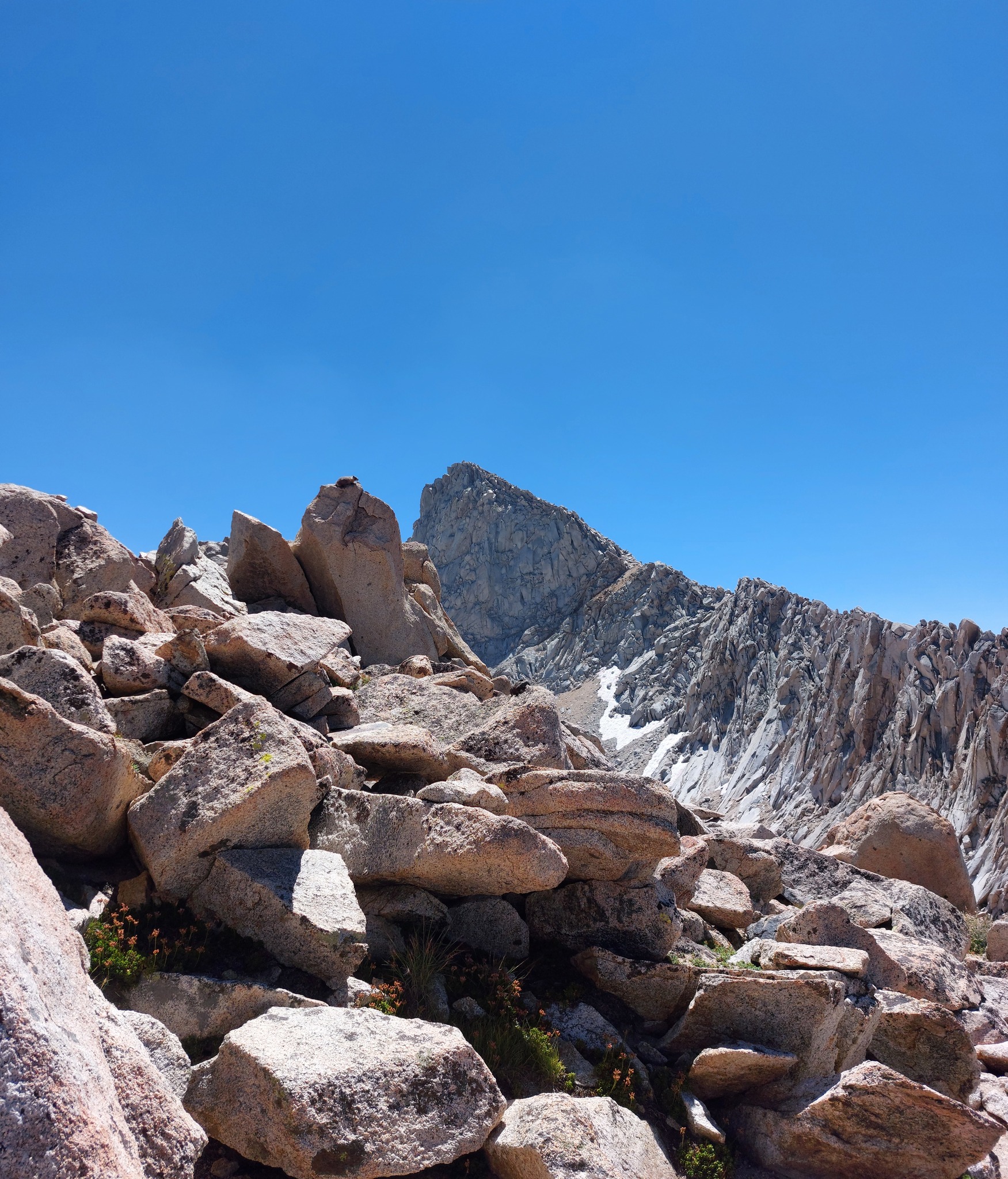
Marmot friend at Sawtooth Pass. If we moved too far from our bags, these little buggers would snoop up to explore/see if we had any free food.
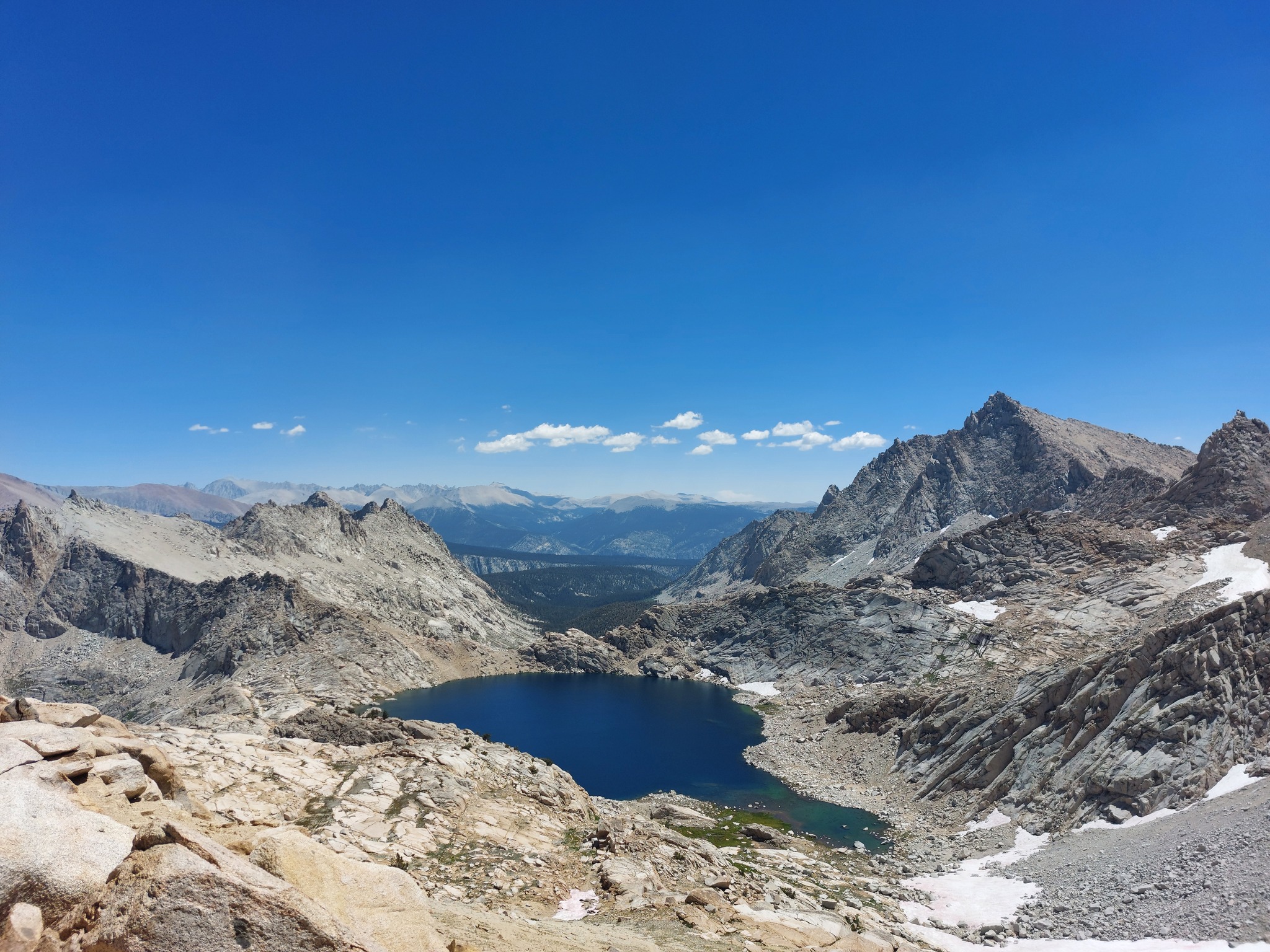
Columbine Lake from Sawtooth Pass, with Lost Valley behind it and more Sierras beyond.
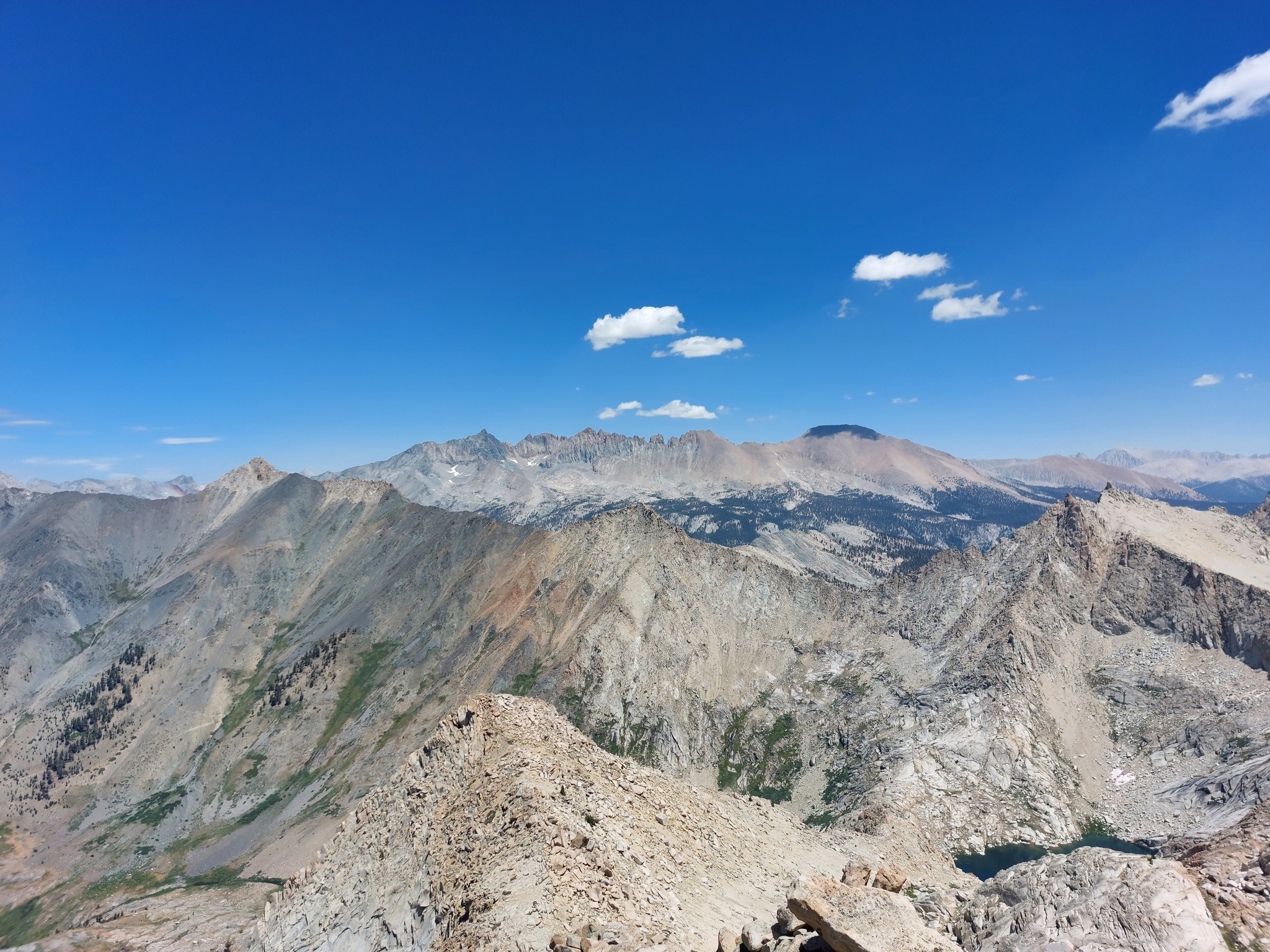
Black Rock Pass from North Sawtooth Peak; coming over here from Sawtooth Pass is a maybe 20 minute detour and gives you some missing views of the mountains to the north (and also lets you tag on an extra hundred feet of elevation, if you're going for your highest ever point like I was).
The ranger told us day one to skirt north along the top of Sawtooth Pass towards a red nose of rock, then pick our way down along the less steep and less scree-filled slope, and I think their advice was excellent; the alternative would have been a straight shot down a super-sleep scree wall.
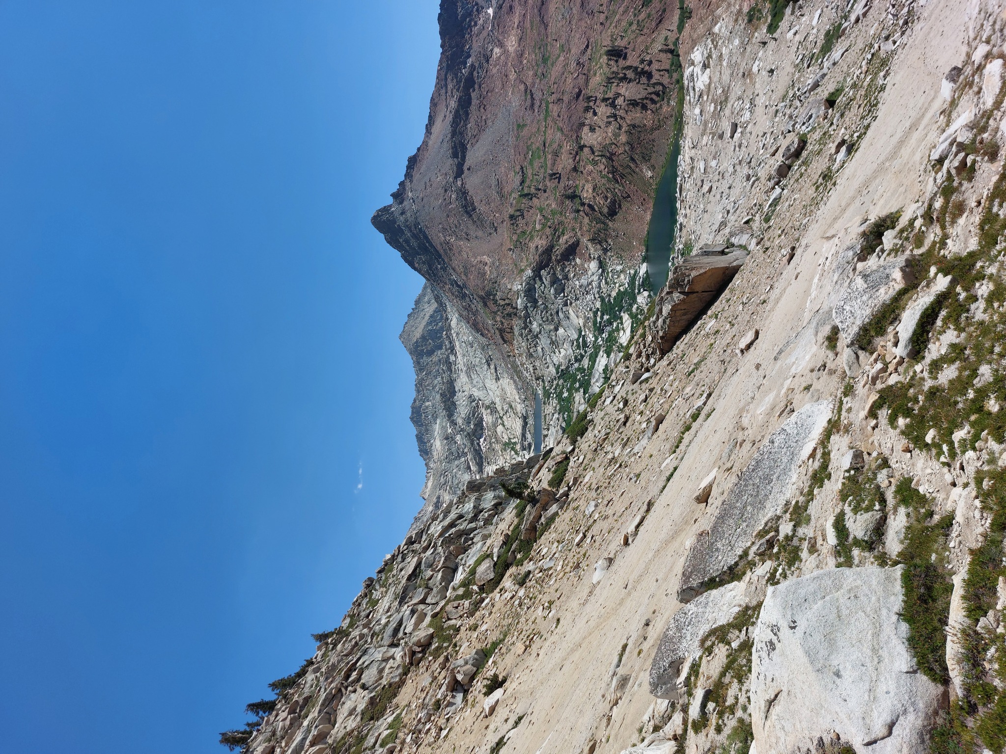
We made our way down to Lower Monarch Lake, but the busy-ness of the lake, plus the horrid state of the toilet there (especially in contrast with the one at Bearpaw Meadows), and the altitude sickness that had been mauling me since day two combined made a compelling case for continuing down the mountain to the trailhead.
A couple passed us going uphill, straight up that slope on the left; I don't envy them.
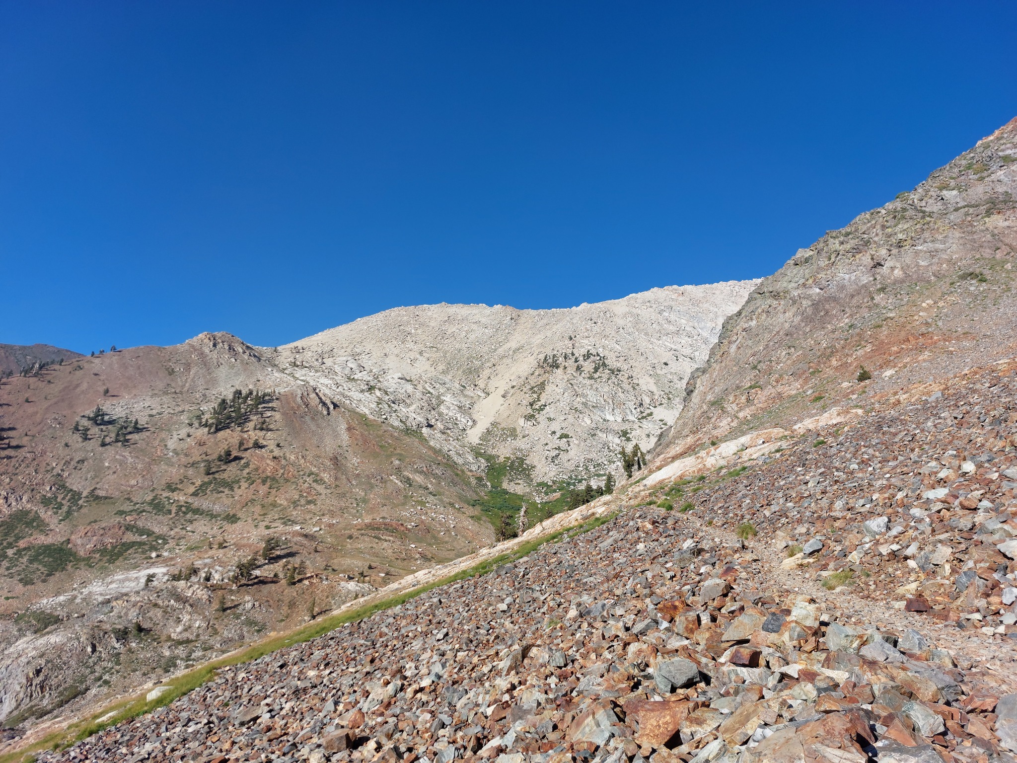
Sawtooth Pass from below Monarch Lakes/on the way back to the trailhead. Doesn't look that large, but I imagine it would take an hour or two to climb up.
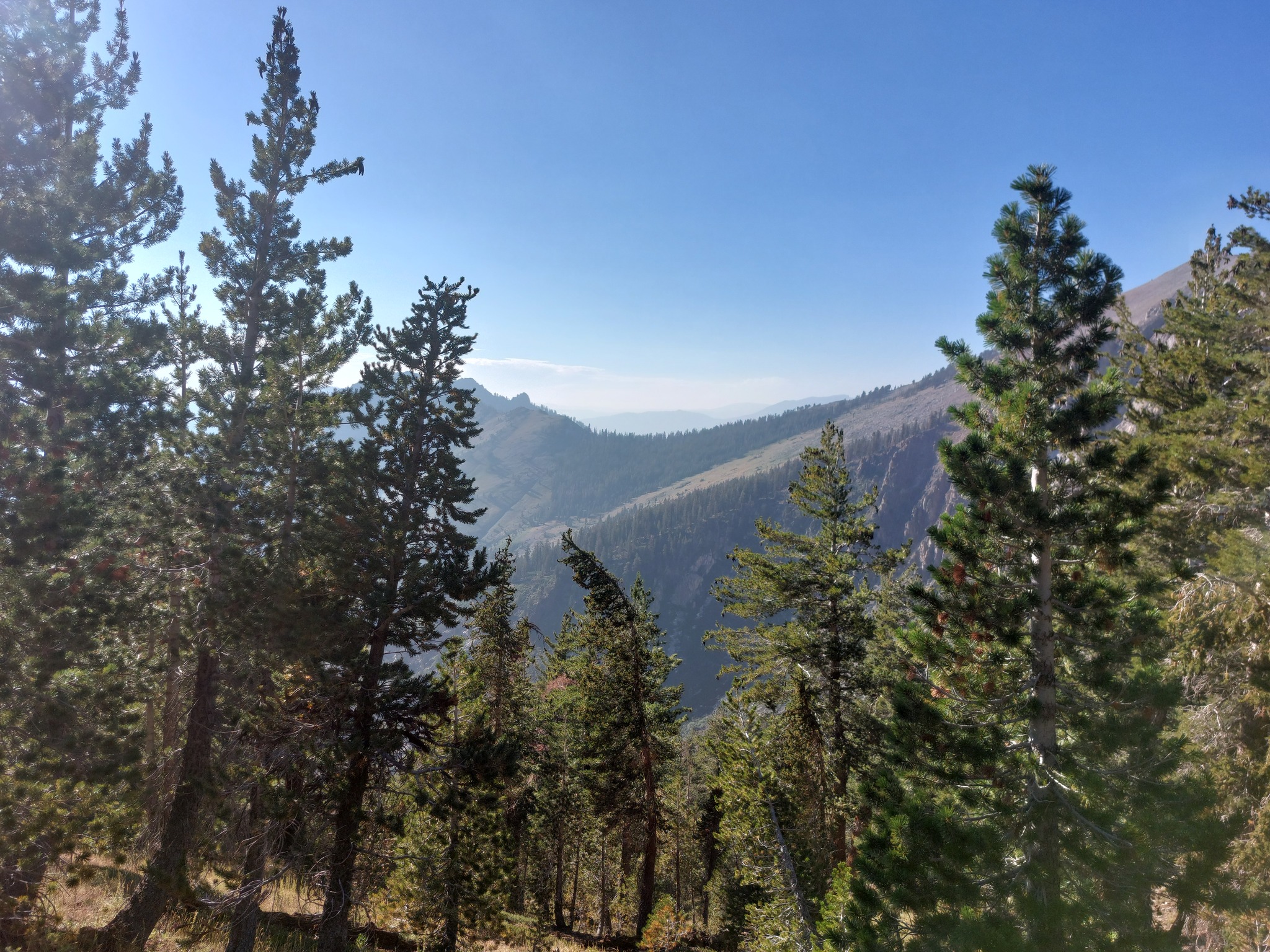
Timber Gap (day 1) through the trees.
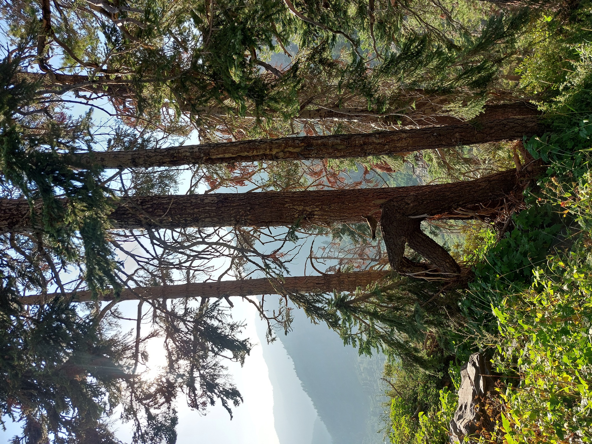
Pheasant? A small troup of these made their way across the trail as we were coming down.
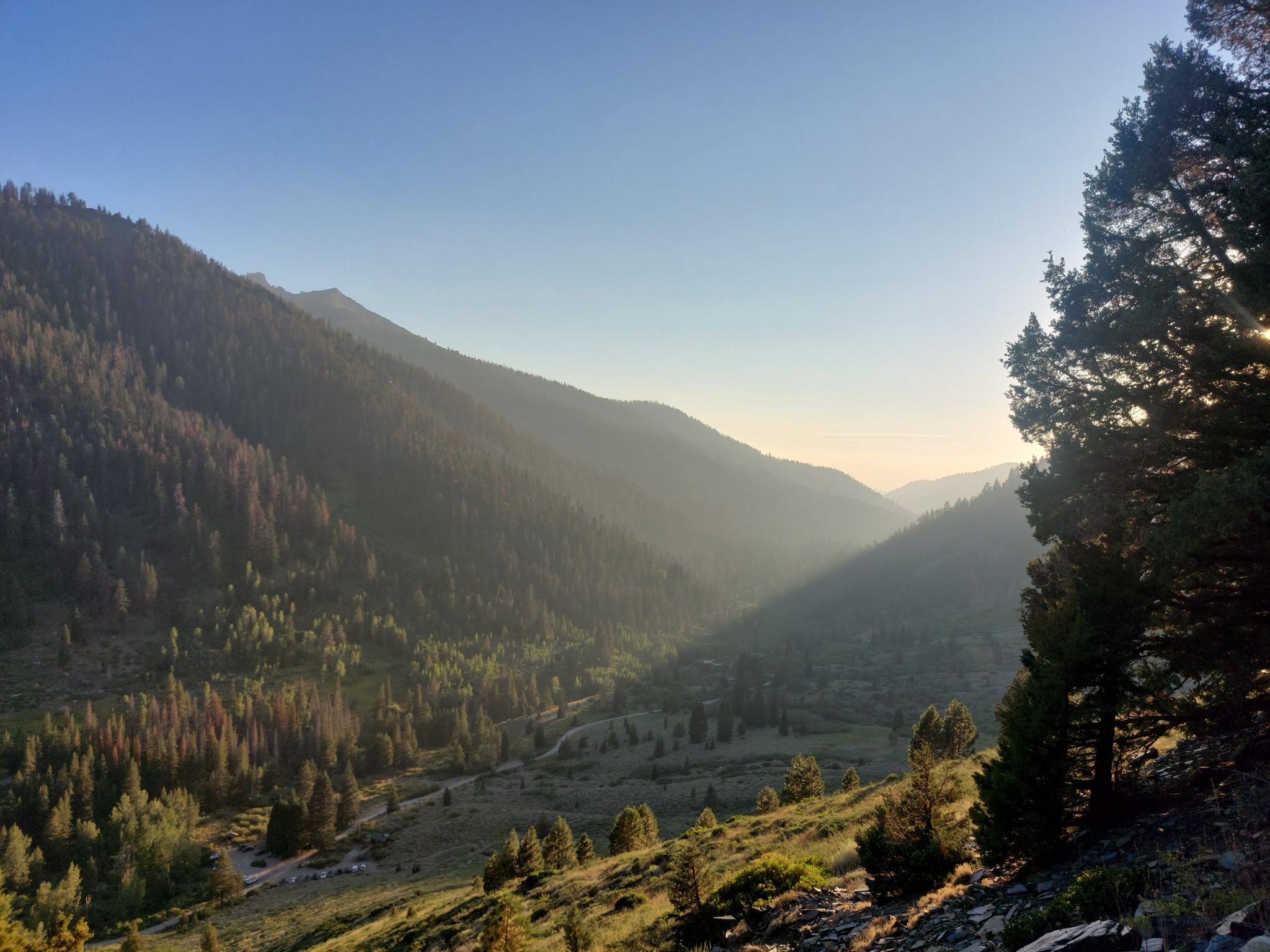
The parking lot!
Overall, Mineral King is absolutely stunning, especially the sections higher up between Hamilton Lake and Monarch Lake. I'd probably recommend taking more time to do this, as we were hiking from sunrise to just about sunset each day, but if four days is all you have, then it's doable.
